Picking up where the previous route through Atlanta ended, this follows the ECD (within the limits of road placement) through the northeastern metro area. To be honest this is a rather boring drive through the suburbs. You can skip to the next post to pick it up where things get mildly interesting again.
The earlier part has some shenanigans with Old Peachtree Road, leaving it without turning and turning to stay on it at different points.
The segment on GA 20 is an area where no road follows the ECD. If you look close at a topo map you’ll see this section crosses a creek, not something you’ll see when following a ridge line.
The segment on GA 124 passes the site of Ft. Daniel, one of the original endpoints of the trail that became Peachtree Road.
The GA 13 portion mostly runs closely parallel to I-985.
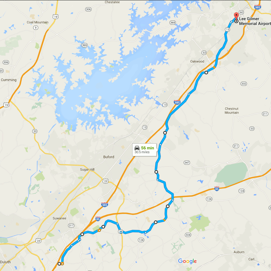
Gainesville’s airport is an arbitrary stopping point dictated mainly by limitations on the number of route modifications that Google Maps allows you to make.
(Aside: notice how close the divide is to Lake Lanier? The western edge of Lake Lanier’s drainage basin is also visible on this map, over near GA highway 9. The lake is really not very far at all from the boundaries of the area drained by it.)
Start at Old Peachtree Rd and I-985, go east
Left on Northbrook Pkwy
Continue on Old Peachtree Rd
Continue on Horizon Dr
Left on Old Peachtree Rd (yes, again)
Left on Rock Springs Rd
Right on GA 20
Left on Old Peachtree Rd
Left on GA 124/Braselton Hwy
Left on Hamilton Mill Rd
Right on Ridge Rd
Continue onto Hog Moutain Rd
Right on GA 13
Right on Industrial Blvd
Right on Aviation Blvd
starts at I-85 and old peachtree, not I-985. Good stuff, though!