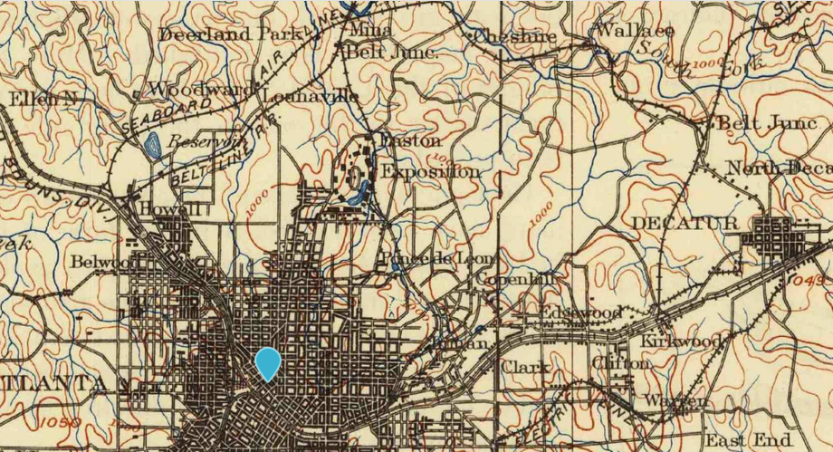
USGS TopoView – entry point for all current and historical topographic maps published the US government; can download maps or display them overlayed within the main viewer
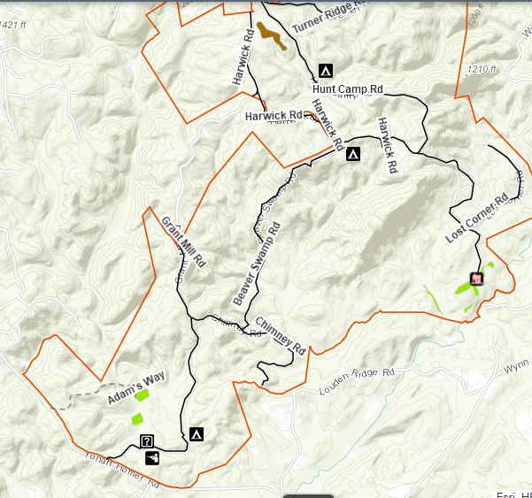
Georgia Wildlife Resources Division – Interactive Map – shows state Wildlife Management Area locations, hunting, fishing, camping, shooting ranges, roads. I have learned not to trust these maps to be up to date about road closures!
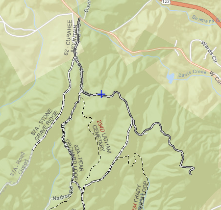
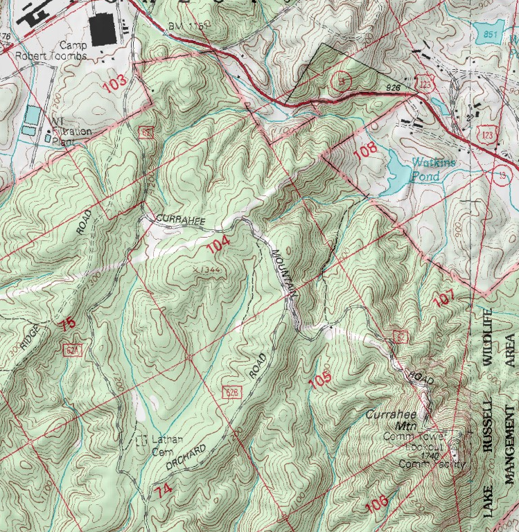
MyTopo – Online Maps – these are older USGS topo maps overlayed with some such as forest service road numbers. In spite of some maps being outdated, the simple interface makes for a quick reference.
Georgia DOT Maps – Index to county road maps, which are basically the only maps online that actually show the paved or dirt status of all roads outside of national/state forests! Reasonably up to date. Unfortunate interface requires downloading individual county maps one by one.
Trails Off-Road Map – detailed trail guides for individual roads, including photos, videos, reviews. Requires sign-up with email address, facebook, etc. Some features (including to view all trails on the map at the same time) require paid membership.
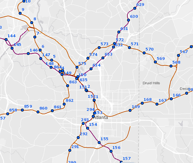
Example historical map (1895) in TopoViewExample of Fed. Railroad Admin mapExample US Forest Service MapExample GA Dept. of Natural Resources MapExample MyTopo mapexample of GA DOT maps