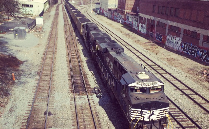
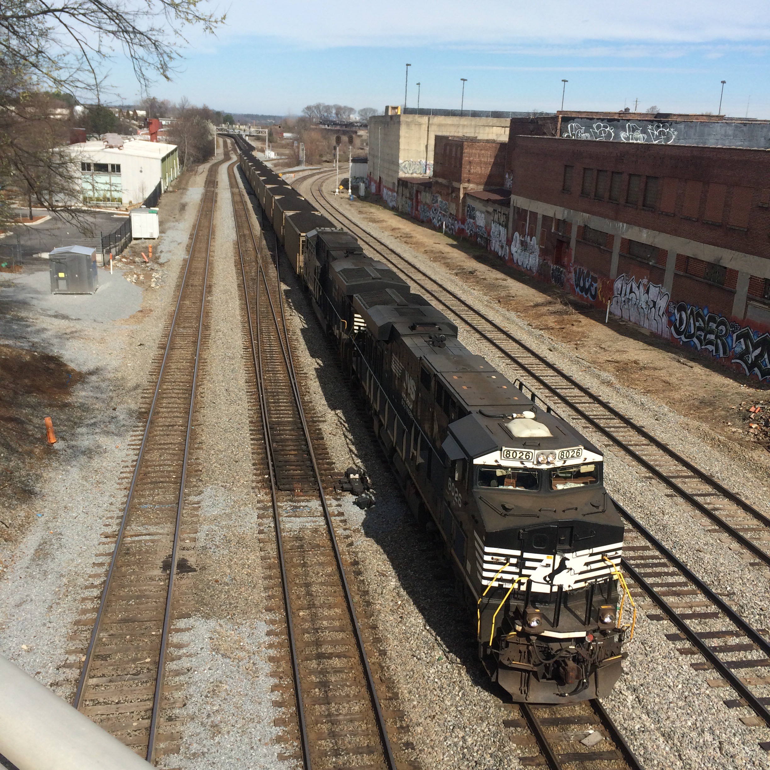
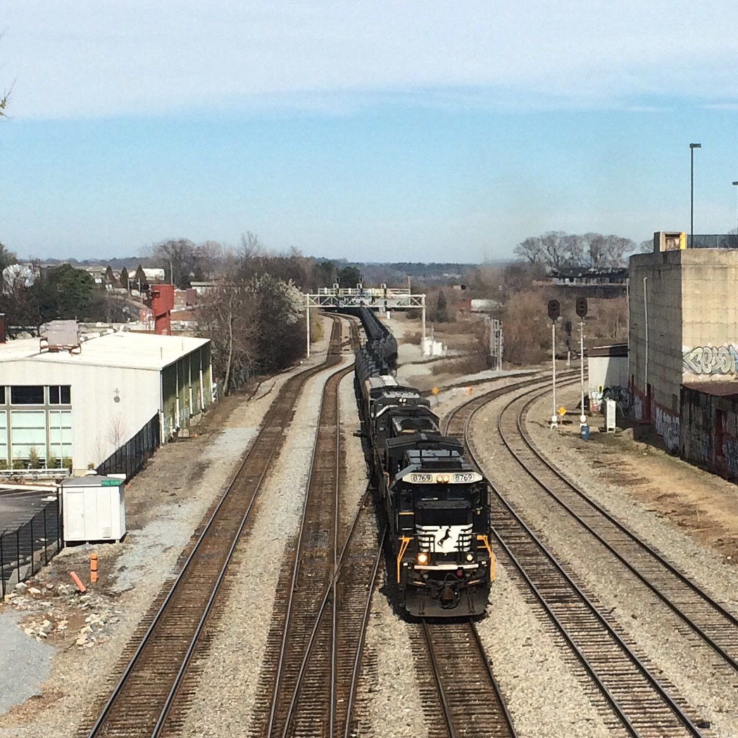
Here I reproduce information from the Norfolk Southern and CSX timetables. I have many times wished I had this to pull up on my iphone in a form other than the bulky PDFs this data is from.
Stations marked “not in timetable” represent signals that trains have been observed to call out (“Clear Doraville, NS 203 southbound”) over the scanner. NS generally does not list intermediate signals (between control points) in their timetables, but they may be shown on their track diagrams. Not sure about CSX.
Text in italics is additional commentary, not from timetable.
Norfolk Southern
First, a “British subway map” of these lines. Obviously not to scale.
Alabama Division
East End District
| 650 | AUSTELL |
| 652.9 | LITHIA SPRINGS |
| 655.2 | BEN HILL |
| 657.3 | HBD-DED (Cracker) |
| 658.7 | Douglasville |
| 663 | HBD-DED (Winston) |
| 664.6 | WINSTON |
| 666.6 | CARROLL |
| 668.2 | BAGGETT |
| 669.5 | VILLA RICA |
| 671.6 | HBD-DED (Villa Rica) |
| 675.5 | TAYLOR |
| 677.5 | TEMPLE |
| 680.6 | HBD-DED (Morgan) |
| 682.7 | SEWELL |
| 685 | BREMEN |
| 689 | HBD-DED (Waco) |
| 692.7 | HUBBARD |
| 695.2 | TALLAPOOSA |
| 697.9 | HBD-DED (Tallapoosa) |
| 699.9 | GA/AL State Line |
| 707.4 | HBD-DED (Fruithurst) |
| 708.4 | FOSTER |
| 710.4 | EDWARDSVILLE |
| 714.1 | OWENS |
| 716.3 | HEFLIN |
| 718.2 | HBD-DED (Cleburne) |
| 727.1 | ARDREY |
| 729.1 | DEARMANVILLE |
| 730.2 | HBD-DED-HWD (Dearmanville) |
| 733.4 | LARDENT |
| 735 | ANNISTON (Amtrak station) |
| 736.7 | LETCHERS |
| 741.6 | HBD-DED (Bynum) |
| 741.7 | Coldwater Branch |
| 743 | BYNUM |
| 746.4 | GRAY |
| 751.8 | HBD-DED (Lincoln) |
| 754.1 | LINCOLN |
| 756.1 | EMBRY |
| 758 | COOSA |
| 762.9 | HBD-DED (Pell City) |
| 767.8 | HOLT |
| 769.8 | ROBERTS |
| 771.6 | HBD-DED (Cook Springs) |
| 776.2 | BROMPTON |
| 778.1 | COLEMAN |
| 781.8 | HBD-DED (Leeds) |
| 781.9 | LEEDS |
| 782.7 | CENTRAL |
| 783.7 | HENRY ELLEN |
| 787.7 | LOVICK |
| 790.7 | NORRIS JUNCTION (Norris Yard) |
| 791.8 | IRONDALE JUNCTION |
| 798.1 | 32ND STREET |
| 798.2 | 27TH STREET (Birmingham) |
Georgia Division
Atlanta North District
| 240.0 A | DeButts Yard (Chattanooga) |
| 239.8 A | WEBB |
| 238.7 A | PIERCE |
| 238.2 A | CITICO JCT. |
| 237.3 A | BROWN |
| 236.6 A | SPELL |
| 236.0 A | WILLIAMS |
| 235.0 A | JERSEY |
| 230.6 A | HBD-DED (Summit) |
| 230.5 A | SUMMIT |
| 226.6 A/15.2 H | OOLTEWAH |
| 18.1 H | HBD-DED (Collegedale) |
| 21.7 H | LONG |
| 23.6 H | GA/TN State Line |
| 25.0 H | HBD-DED (Cohutta) |
| 27.0 H | COHUTTA |
| 31.5 H | VARNELL |
| 36.0 H | WARING |
| 36.2 H | HBD-DED-HWD (Waring) |
| 37.7 H | NORTON |
| 39.9 H | N. DALTON |
| 40.1 H | HAIR |
| 42.4 H | WALNUT |
| 45.1 H | HBD-DED (Phelps) |
| 45.2 H | PHELPS |
| 47.9 H | FREEMAN |
| 53.3 H | DAVIS |
| 55.3 H | SUGAR VALLEY |
| 58.2 H | TALLEY |
| 60.7 H | HALL |
| 55.4 H | HBD-DED |
| 66.2 H | HBD-DED (Plainville) |
| 67.8 H | REEVES |
| 69.6 H | PINSON |
| 75.1 H | BERWIN |
| 75.1 H | HBD-DED |
| 77.0 H | Forrestville Yard |
| 78.1 H | FOX |
| 81.2 H | SMITH |
| 83.9 H | LINDALE |
| 85.4 H | HBD-DED (Silvercreek) |
| 90.1 H | BRICE |
| 92.0 H | GREEN |
| 95.2 H | HBD-DED (Seney) |
| 98.5 H | ARAGON |
| 101.4 H | OLLIE |
| 102.0 H | ROCKMART |
| 105.7 H | HBD-DED (Finch) |
| 106.9 H | FINCH |
| 112.0 H | ROGERS |
| 114.5 H | McPHERSON |
| 118.2 H | HBD-DED-HWD (Dallas) |
| 121.4 H | OAK |
| 123.5 H | HIRAM |
| 125.4 H | CLARK |
| 128.2 H | HBD-DED (Powder Springs) |
| 130.3 H | FOSS |
| 131.3 H | COWART |
| 131.6 H | SHIPP |
| 132.8 H | Whitaker Yard |
| 132.9 H | HBD-DED (Whitaker Yard) |
| 133.0 H | ENGLAND |
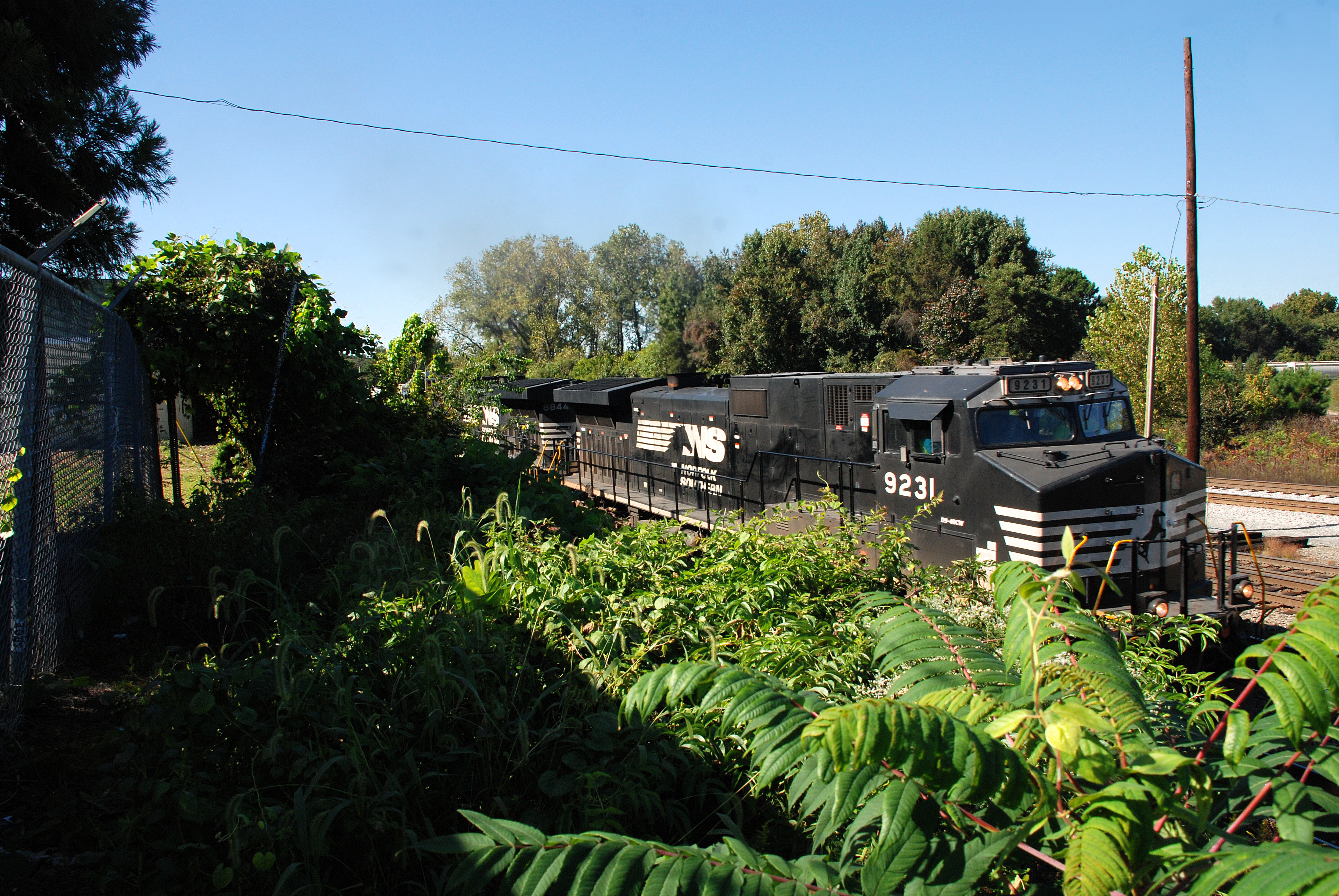
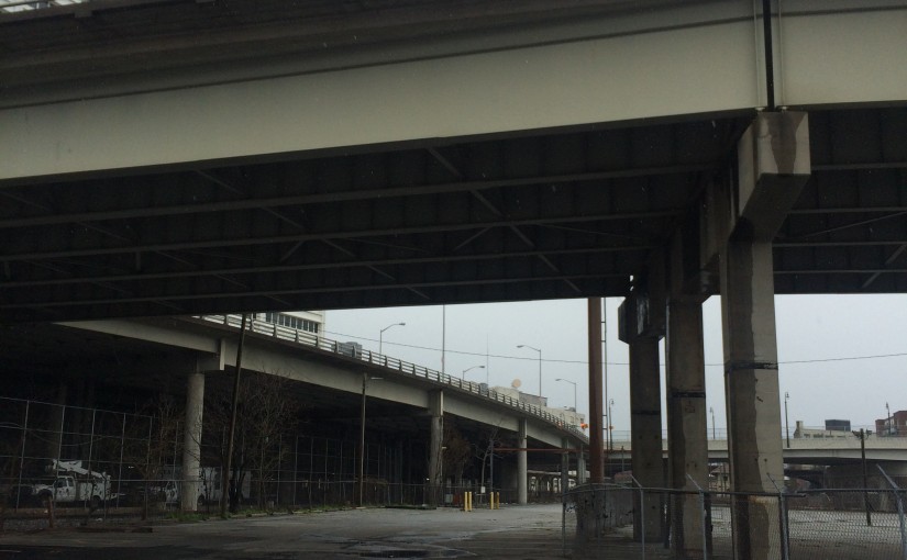
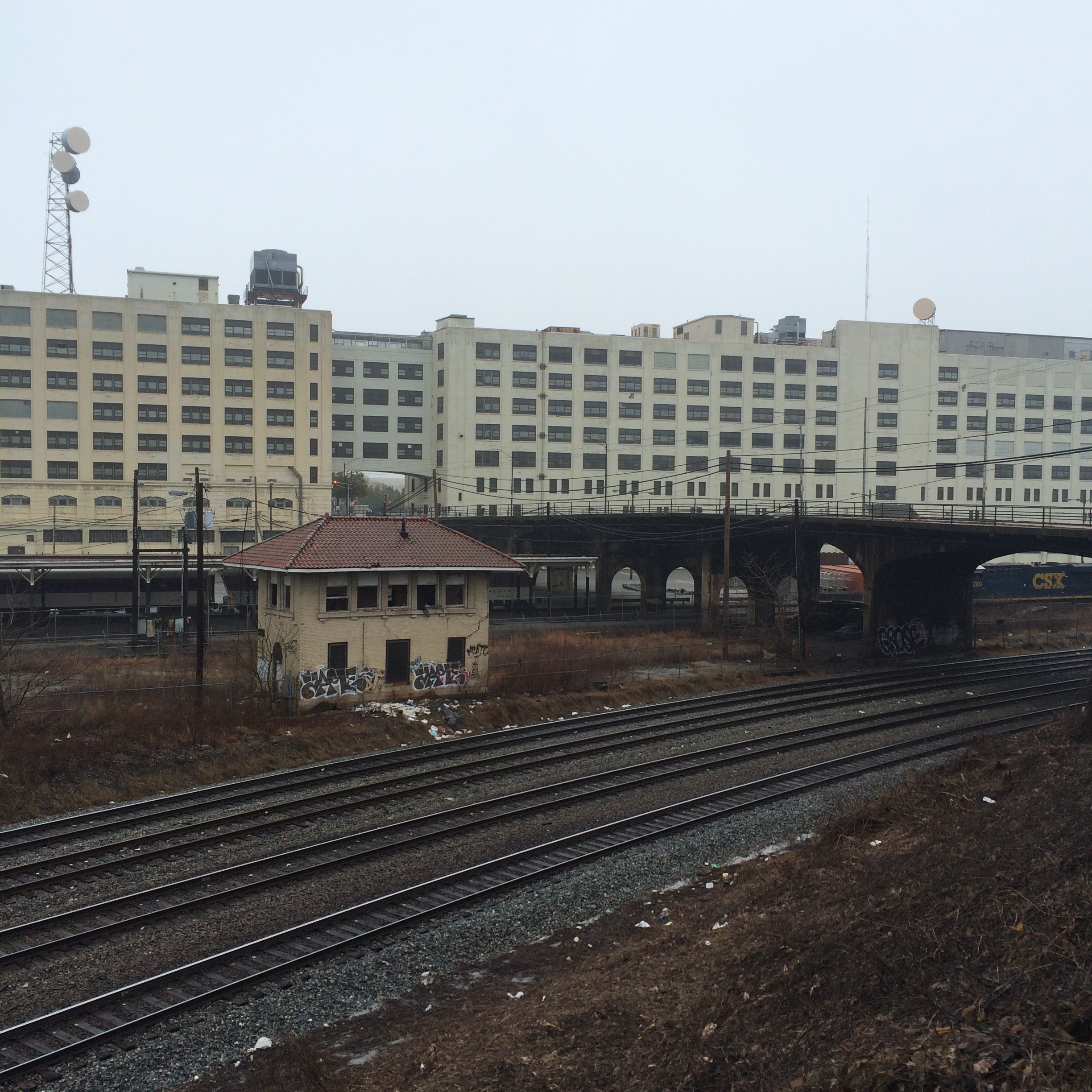
| 134.7 H | AUSTELL
East End district connects here. |
| 137.2 H | LOWE
Near Mableton |
| 140.0 H | NICKAJACK |
| 140.7 H | HBD-DED (Nickajack) |
| 143.1 H | JACKMAC
Visible from Buckner Rd. |
| Chattahoochee River | |
| BRIDGE (not in timetable)
Accessible via Parrot Avenue. |
|
| 145.5 H | BOLTON |
| 146.7 H | FIELDS |
| 146.8 H | NORTH INMAN |
| 148.0 H | Inman Yard |
| 149.0 H | ROCKDALE
Can be seen from Marietta Blvd overpass. |
Atlanta South District
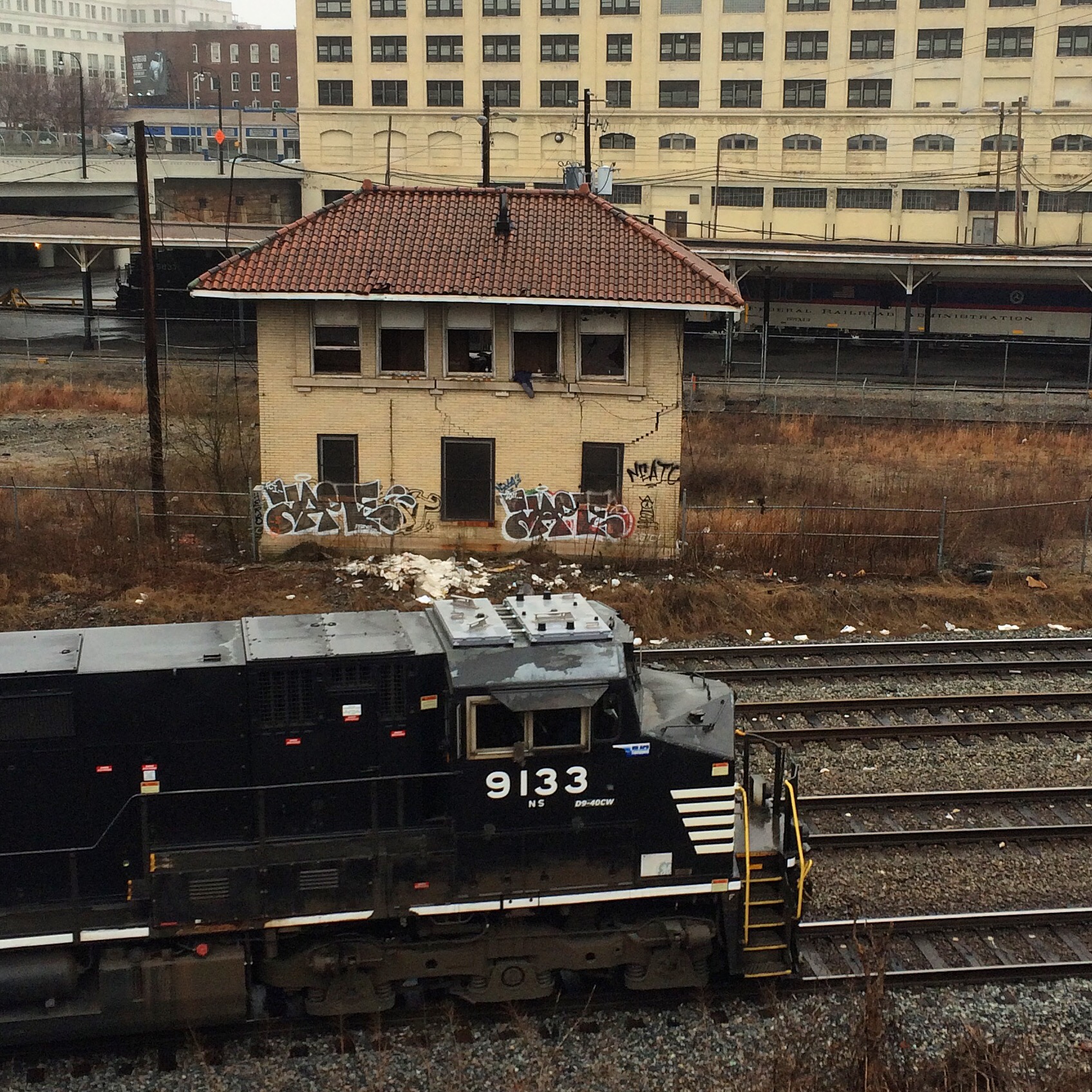
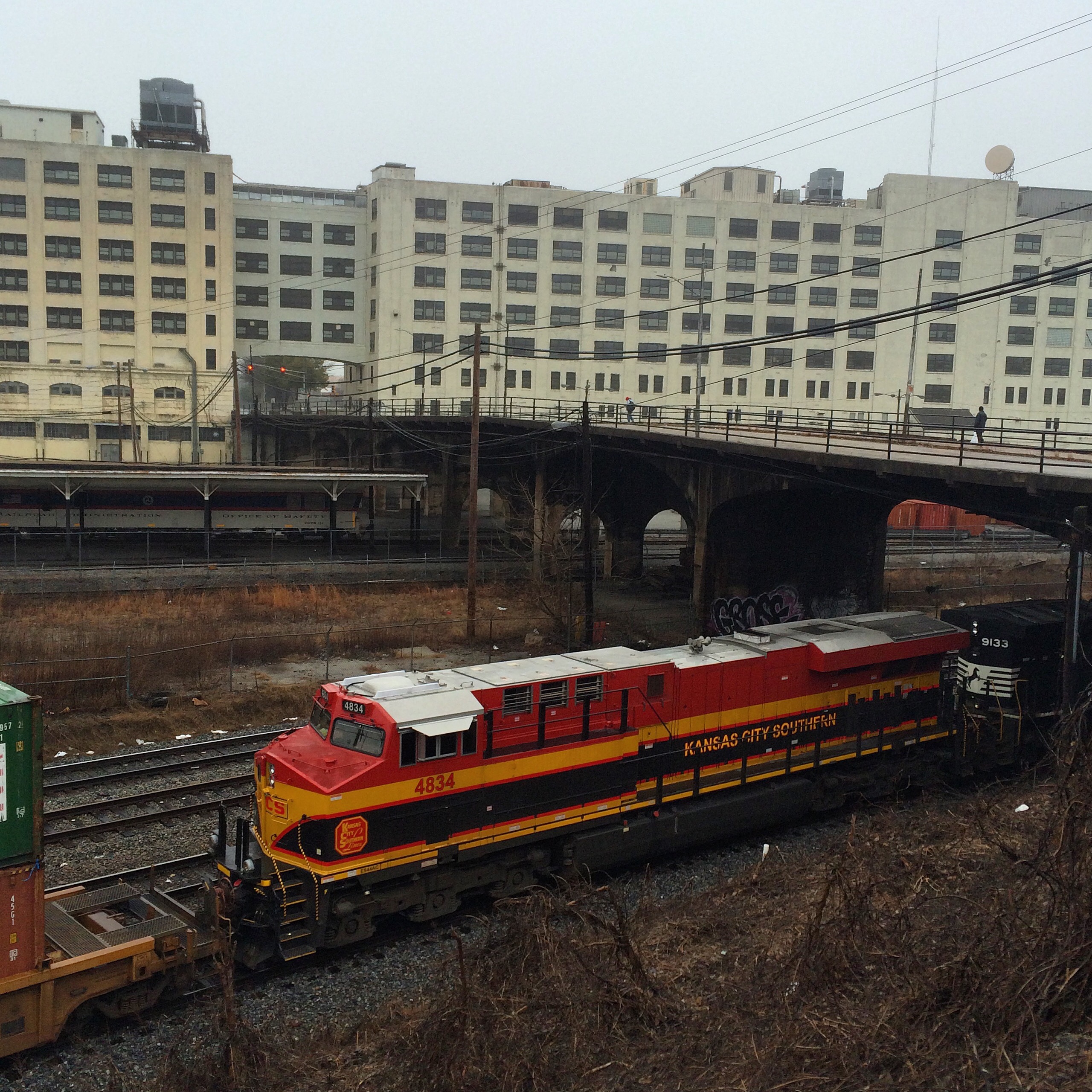
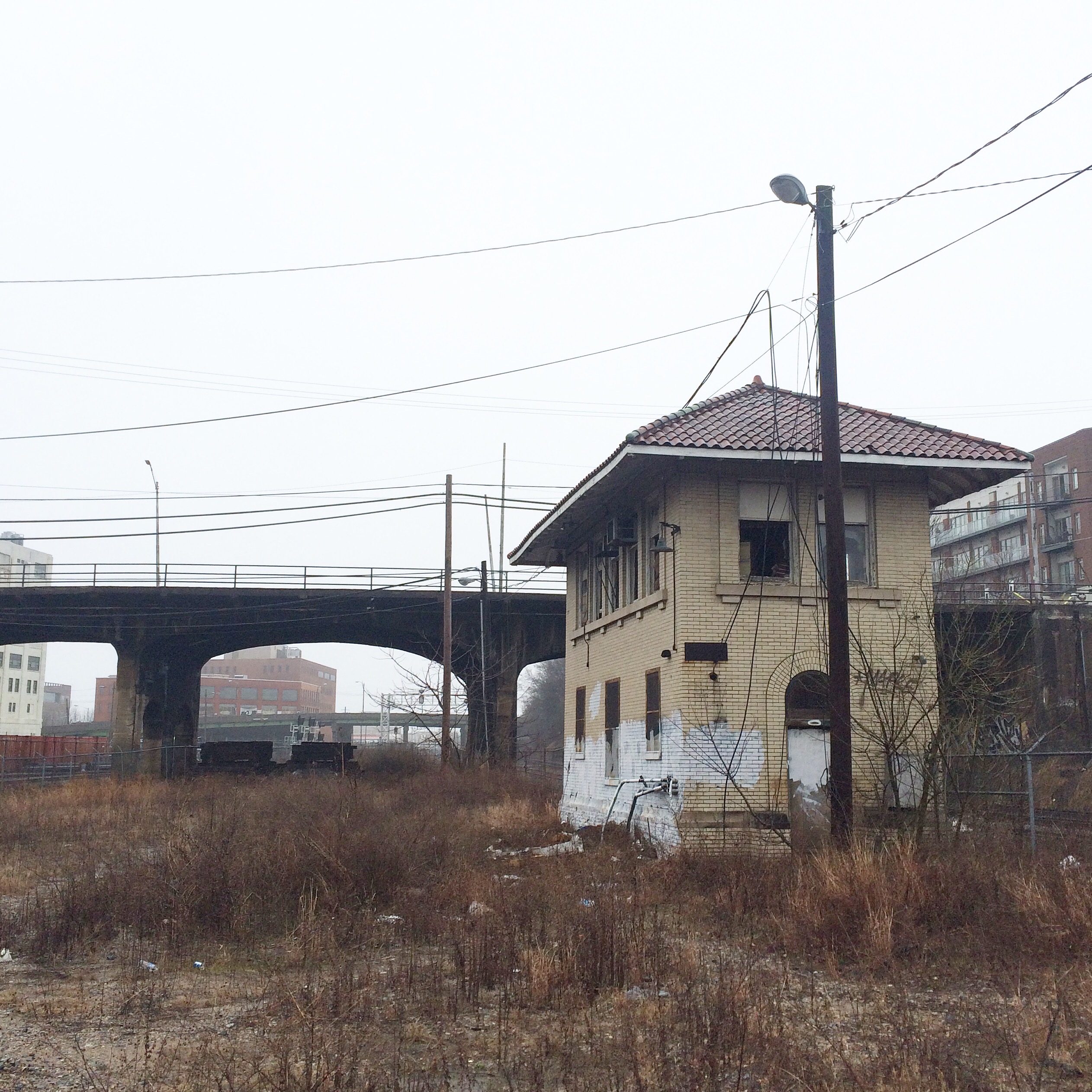
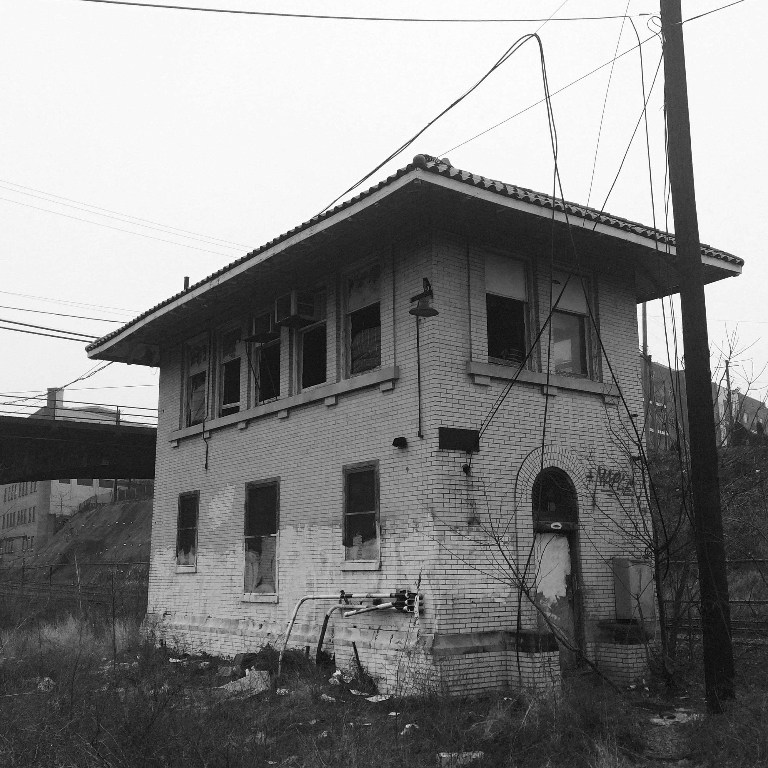
| 149.9 H | HOWELL
Behind Bim’s Liquor store/King Plow parking lot. See blog entry. |
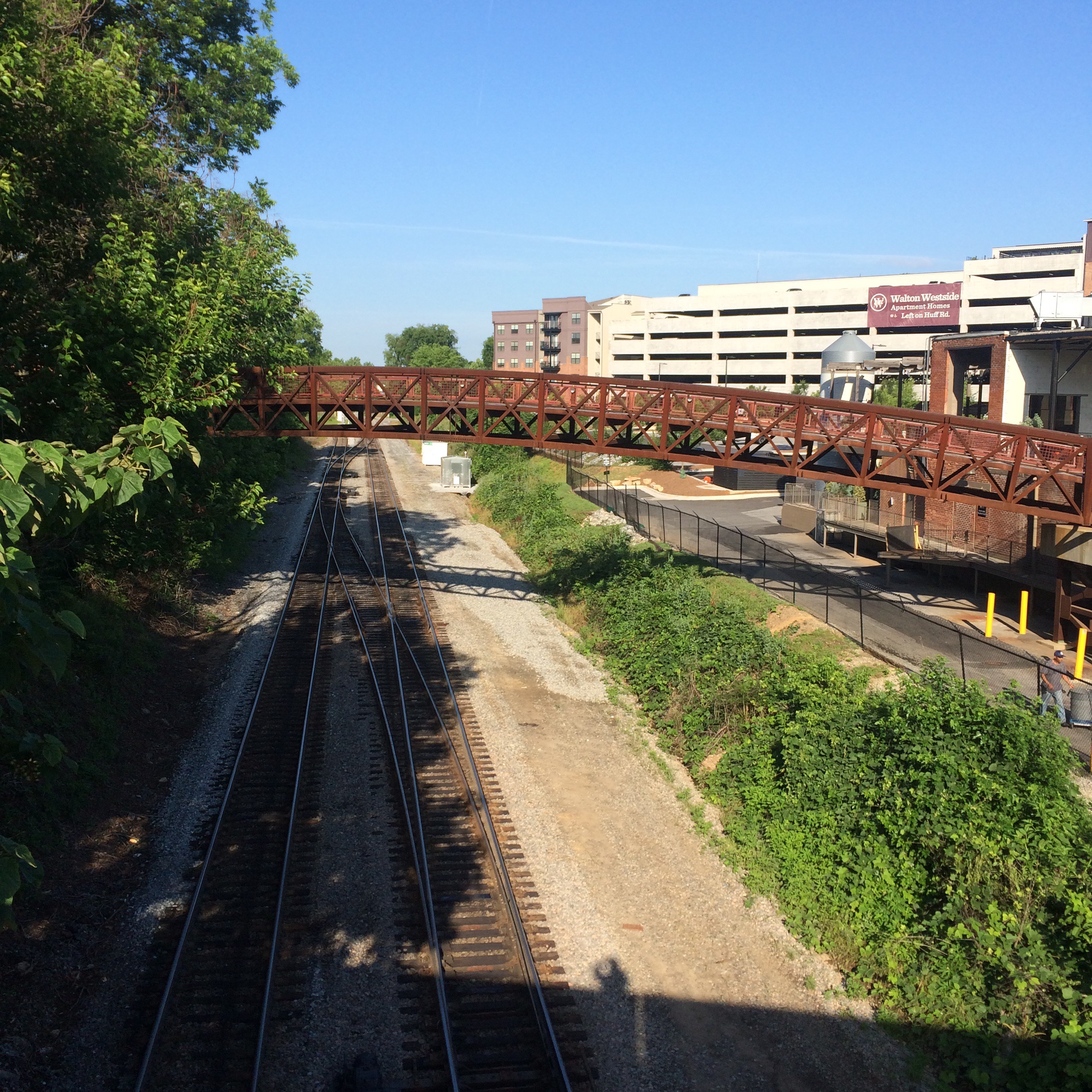
| 150.1 H | KING PLOW
Visible from Marietta Street overpass / parking lot at end of 10th street. |
| JEFFERSON STREET (not in timetable)
Street dead-ends at tracks. Frequent crew-change point. Stopped trains visible from Marietta St bridge. |
|
| GRINELL (not in timetable)
Between Northside Drive bridge and North Avenue tunnel. |
|
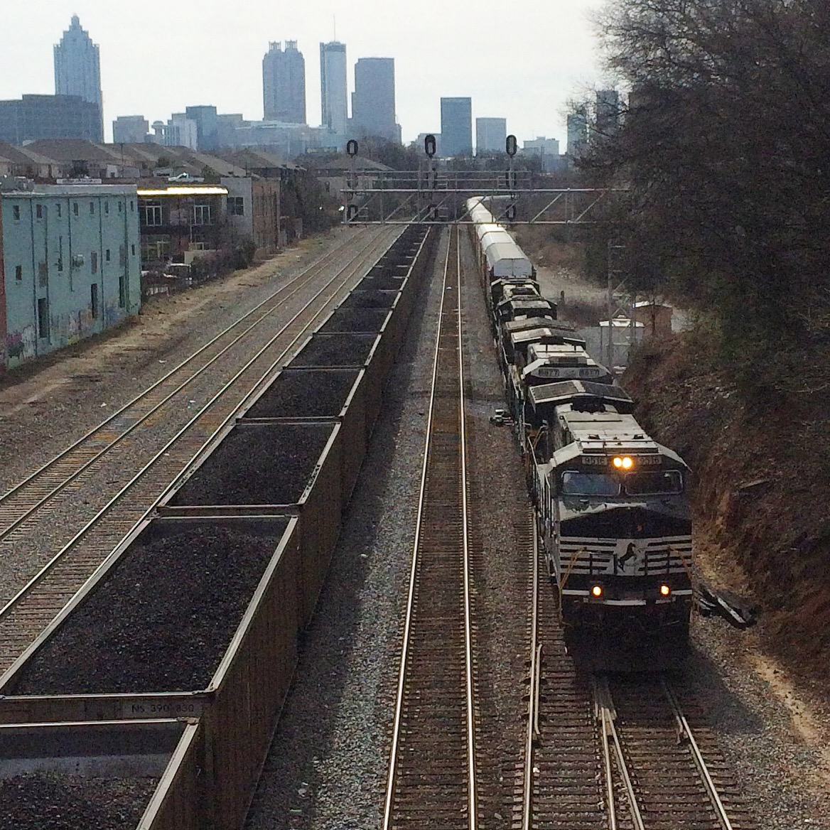
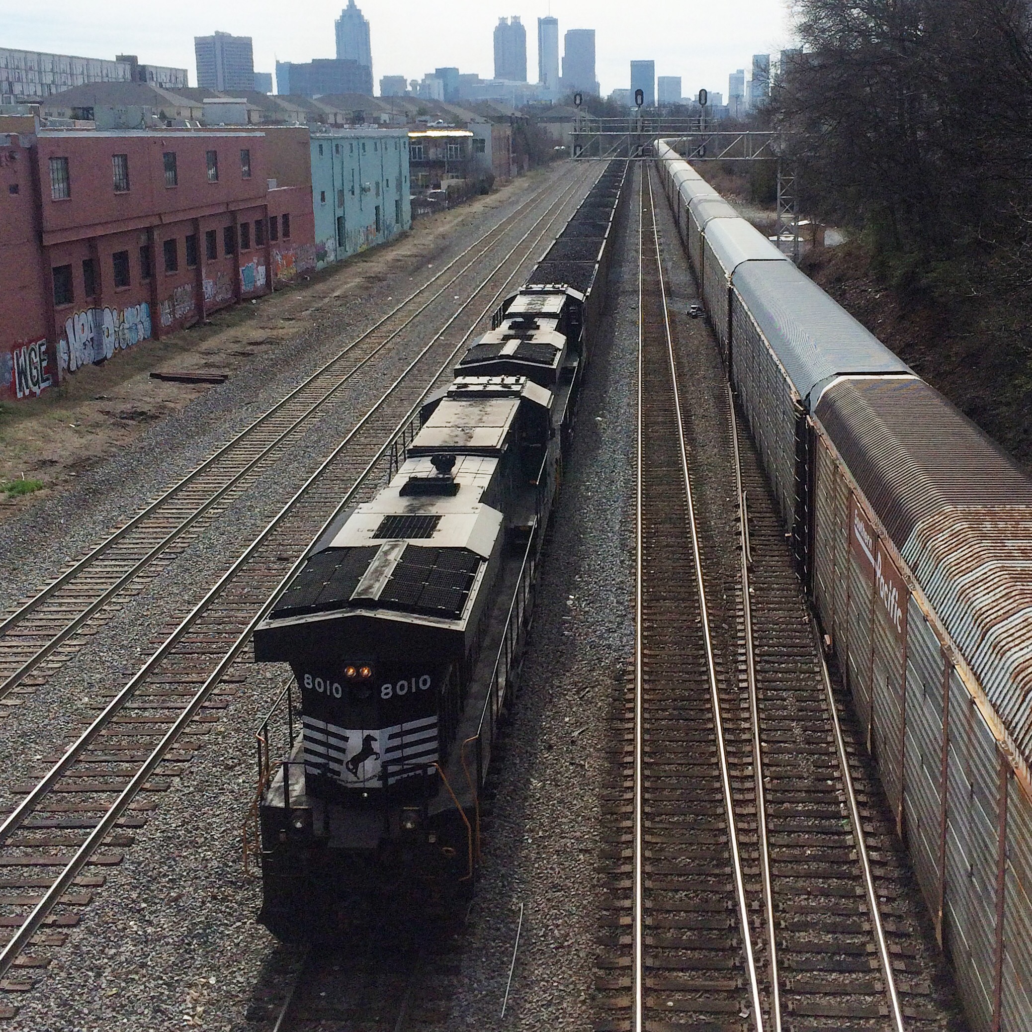
| 152.4 H | SPRING
Visible from Mitchell, Nelson, Peters Streets. See blog entry. |
| 153.? | CIRCLE (not in timetable)
Very new signal sign just south of Peters St. |
| 154.2 H | WELLS
Across McDaniel Street from South Yard |
| 154.6 H | SOUTH YARD
Nearly-abandoned yard on McDaniel St, home to Pegram Shops and the Walking Dead’s “Terminus”. |
| 155.4 H | HENDERSON
University Ave/Hank Aaron Drive |
| 158.8 H | CONSTITUTION
Fayetteville Rd. and Old Constitution Rd. |
| 158.8 H | HBD-DED |
| 162.5 H | NORTH CONLEY
Moreland Ave (US 23) and E. Conley Rd. |
| 164.5 H | PLESS |
| 165.7 H | HBD-DED (Ellenwood) |
| 171.5 H | STOCKBRIDGE |
| 173.7 H | TUNIS (Flippen) |
| 181.5 H | McDONOUGH |
| 183.5 H | GROVE |
| 187.4 H | HBD-DED-HWD (Locust Grove) |
| 193.0 H | JENKINSBURG |
| 195.0 H | BUNCH |
| 198.0 H | HBD-DED (Jackson) |
| 203.0 H | FLOVILLA |
| 205.2 H | SANDY |
| 208.0 H | HBD-DED (Cork) |
| 215.0 H | BERNER |
| 216.8 H | JULIETTE |
| 218.8 H | SCHERER |
| 222.5 H | HBD-DED (Dames Ferry) |
| 225.0 H | GRUBBS |
| 230.1 H | DAMES |
| 232.3 H | ARKWRIGHT |
| 233.7 H | HBD-DED-HCD |
| 239.1 H | NORTH MACON |
| 240.5 H | MACON JCT. |
| 242.0 H | BROSNAN YARD |
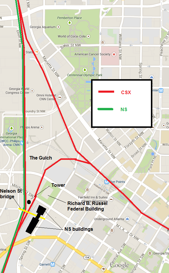
Griffin District
Ex-Central of Georgia. Shared with CSX to East Point.
| S 294.3 | SPRING |
| S 291.5 | OAKLAND JCT.
Murphy Ave, near the Cut Rate Box Company building. Old A&WP belt line connects here. |
| S 290.0 | TILLMAN |
| S 288.8 | INDUSTRY YARD
Most of yard can be seen from Harold Sheets Pkwy. |
| S 288.2 | EAST POINT
Near pedestrian bridge and MARTA. CSX leaves onto its own tracks. |
| S 286.4 | HAPEVILLE
Sylvan Rd. crossing. |
| S 283.7 | MOUNTAIN VIEW
Along Old Dixie Hwy. between I-75 and I-285. |
| S 282.2 | FOREST PARK
Main St. and Hale Rd, at south end of yard. |
| S 280.1 | LEE
Along Metcalf Rd. in Lake City. |
| S 277.8 | MORROW |
| S 274.7 | HBD (North Jonesboro) |
| S 273.4 | JONESBORO |
| S 251.0 | GRIFFIN |
| S 233.6 | BARNESVILLE |
| S 223.5 | COLLIER |
| S 221.1 | HBD |
| S 217.0 | FORSYTH |
| S 212.9 | SMARR |
| S 206.1 | HBD-DED (Bolingbrooke) |
| H 192.1 | EDGEWOOD |
| H 197.0 | RUTLAND JCT. |
Piedmont Division
Greenville District
| 484.1 | Greenville (Amtrak station) |
| 484.5 | SOUTH GREENVILLE |
| 486.5 | FALLIS |
| 489.2 | CROSSWELL |
| 492.5 | HBD (Lathem) |
| 493.6 | HAYWOOD |
| 498.5 | METLER |
| 504.1 | TRABER |
| 504.2 | HBD (Traber) |
| 508 | JOHNSON |
| 511.9 | ROWLAND |
| 513.7 | HBD (Clemson) |
| 514.2 | Clemson |
| 517 | KEOWEE |
| 519.6 | COURTENAY |
| 521.9 | HBD (Seneca) |
| 525.6 | CHENEY |
| 526.1 | HBD (Cheney) |
| 530.2 | JASON |
| 533.8 | HUNTER |
| 539.2 | HBD-HWD (Madison) |
| 542.1 | TUGALO |
| 545 | PARK |
| 547.3 | TOCCOA (Amtrak station) |
| 552 | AYERSVILLE |
| 552.4 | HBD (Ayersville) |
| 558 | MT. AIRY |
| 562 | BALDWIN |
| 564.1 | HBD (Alto) |
| 569.1 | YONAH |
| 572.5? | Downtown Lula. Branch line to Athens connects to main line. |
| 574 | CAGLE |
| 575.1 | HBD (Cagle) |
| 581.1 | RED LANE
North of White Sulpur Rd. crossing. |
| 584.6 | Gainesville (Amtrak station) |
| 585 | MIDLAND
Junction with CSX Gainesville Midland sub |
| 588 | CHICOPEE |
| 588.6 | HBD (Oakwood) |
| 592.3 | GRIF
Near HF Reed Industrial Park Conn. bridge. |
| 594.8 | ALLEN
Near Flowery Branch |
| 598.2 | HBD (Walters) |
| 599.8 | WALTERS
Downtown Buford near Train Master model train store |
| 605.2 | SHADOW BROOK |
| 611 | HBD (Duluth) |
| 612.7 | DULUTH |
| 615 | CAROLINA
Between North and South Berkley Lake Roads. |
| 619 | NORCROSS
North-facing visible from Rowan Street / Stephens Rd crossing (near RockTenn). |
| 619 | HBD (Norcross) |
| 621.4 | RAY
Visible from Oakcliff Rd. bridge and from Bankers Industrial Dr. |
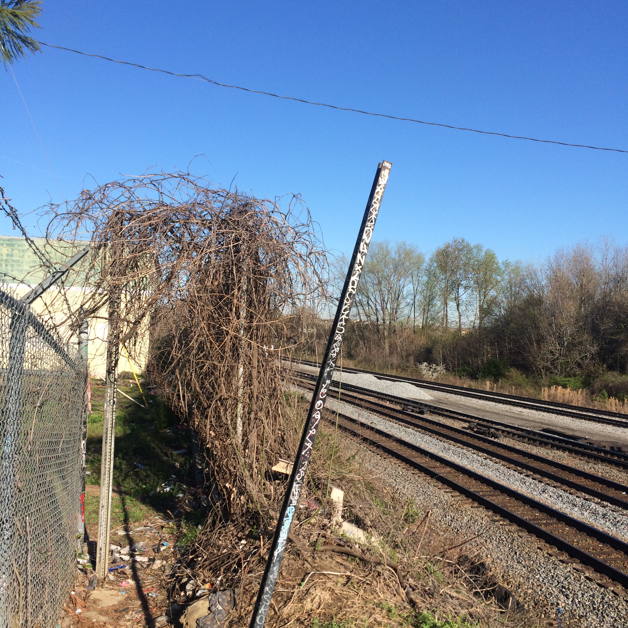
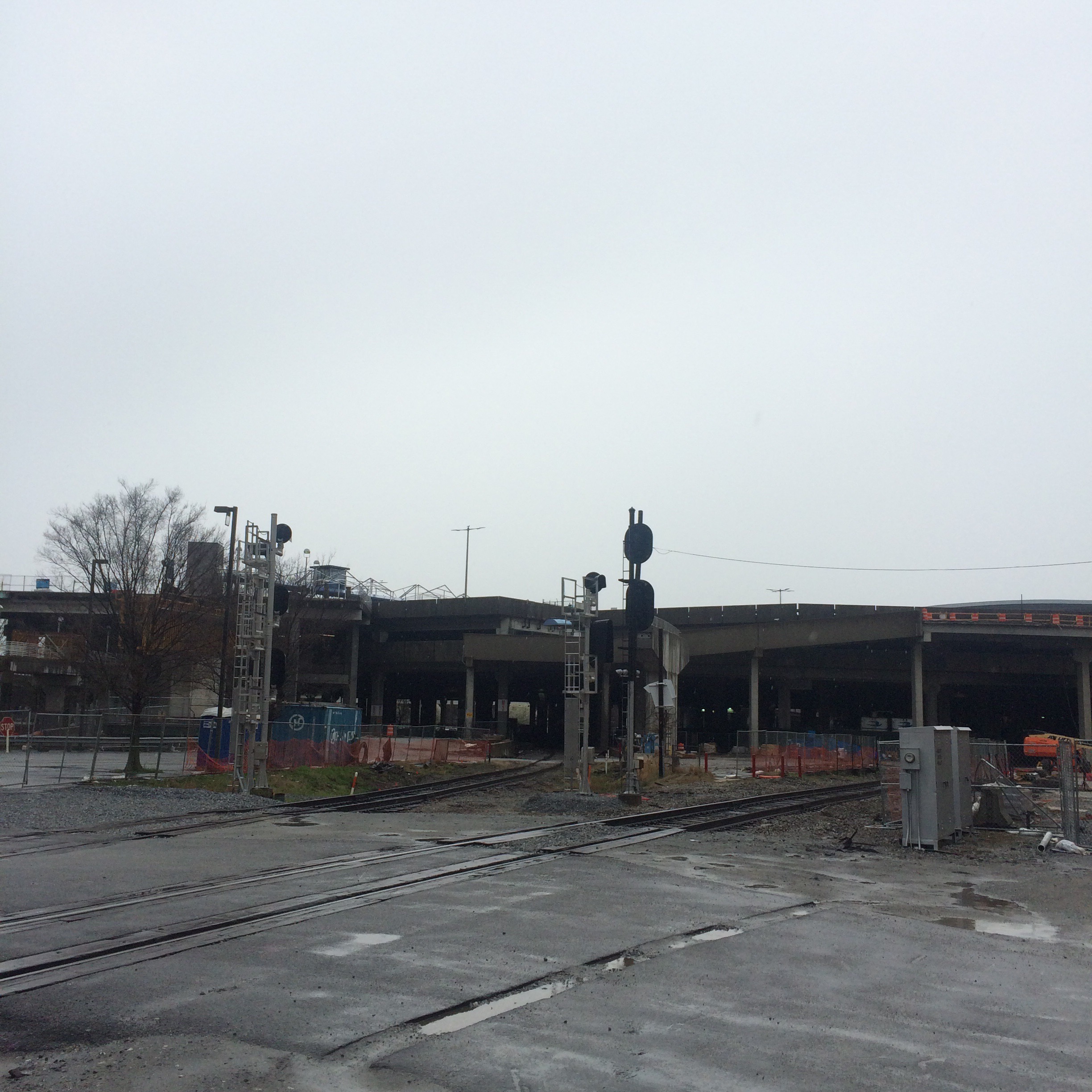
| 622.7 (?) | DORAVILLE (not in timetable)
Next to gravel truck parking lot on New Peachtree Rd, across from Marathon fuel terminal. |
| 624.5 | CHAMBLEE
Next to Peachtree St in downtown Chamblee |
| 626.3 | GOODWIN
Near Redding Rd |
| 626.6 | HBD (Goodwin) |
| 630.9 | FOREMOST
Near Piedmont Rd. |
| 632.5 | ARMOUR |
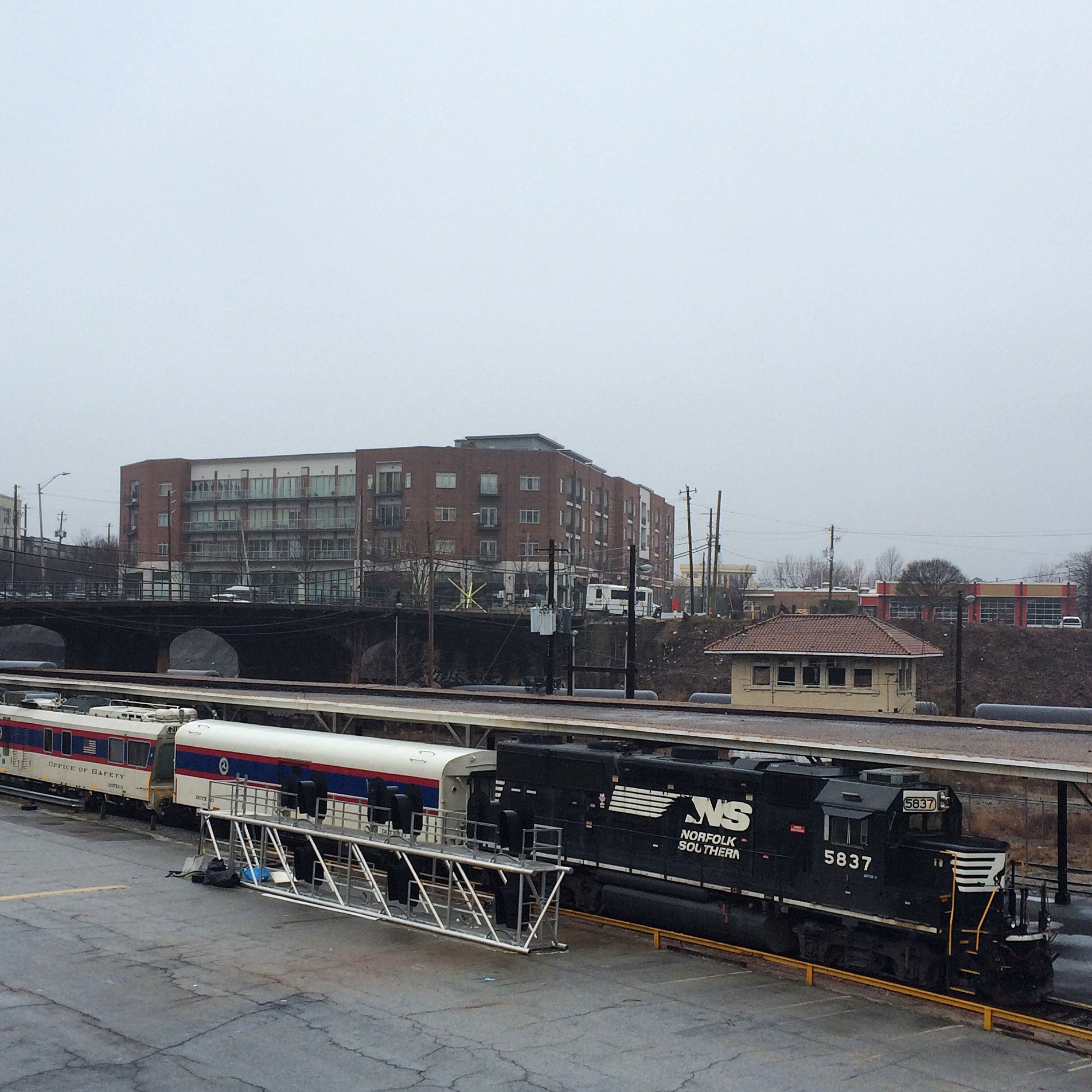
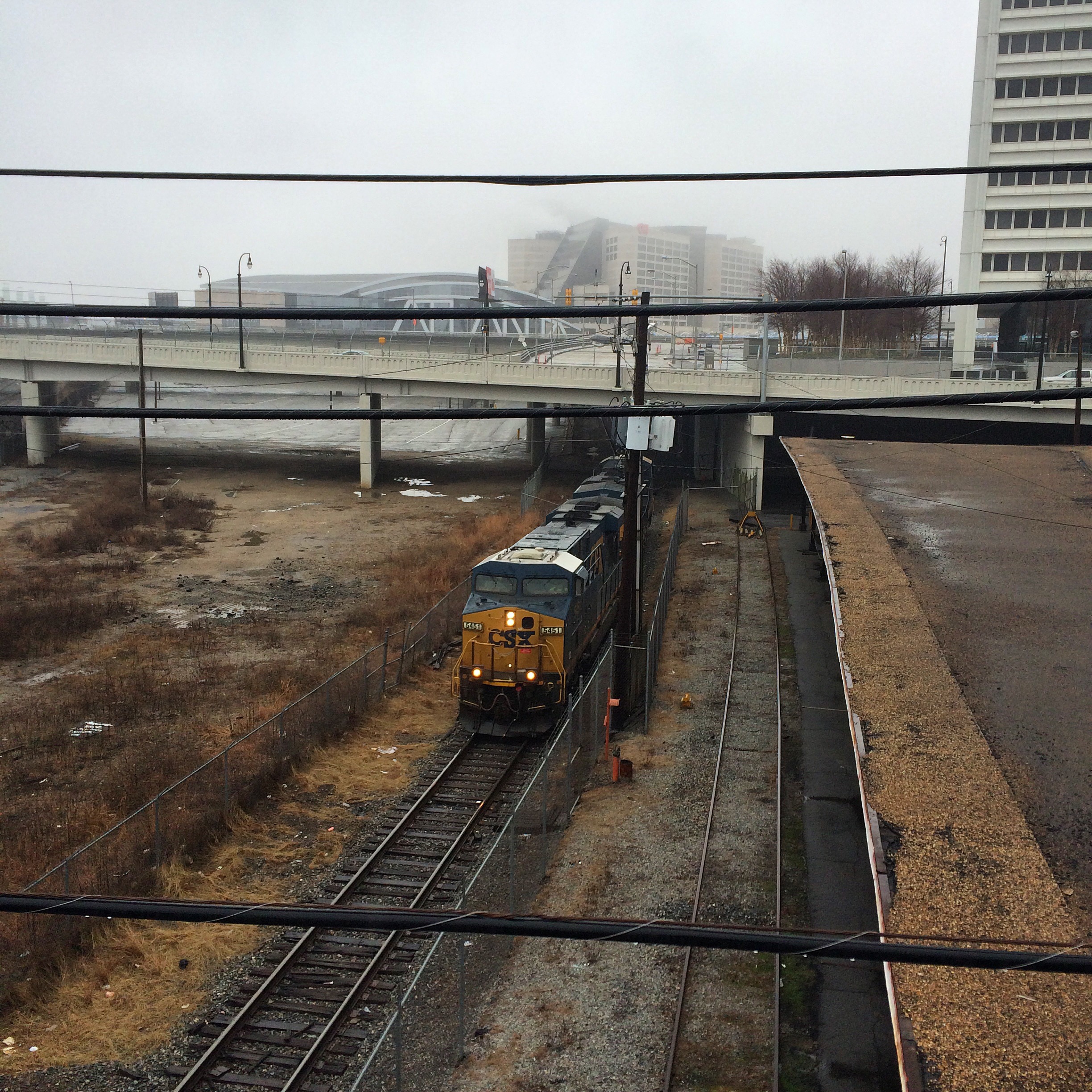
| 633.3 | ATLANTA (Amtrak station) |
| MECASLIN ST (not in timetable)
Grade crossing behind Atlantic Station Target, road is only access to Narjoe Lumber Co. |
|
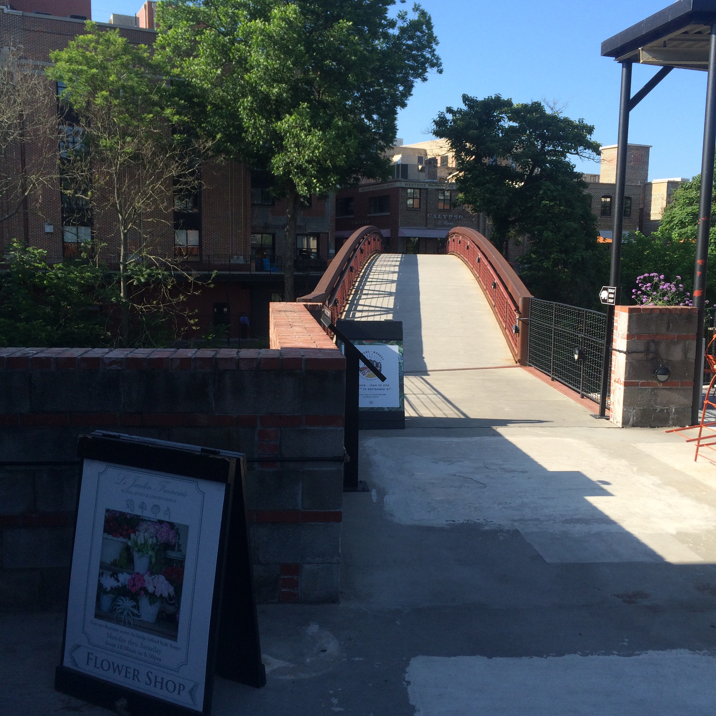
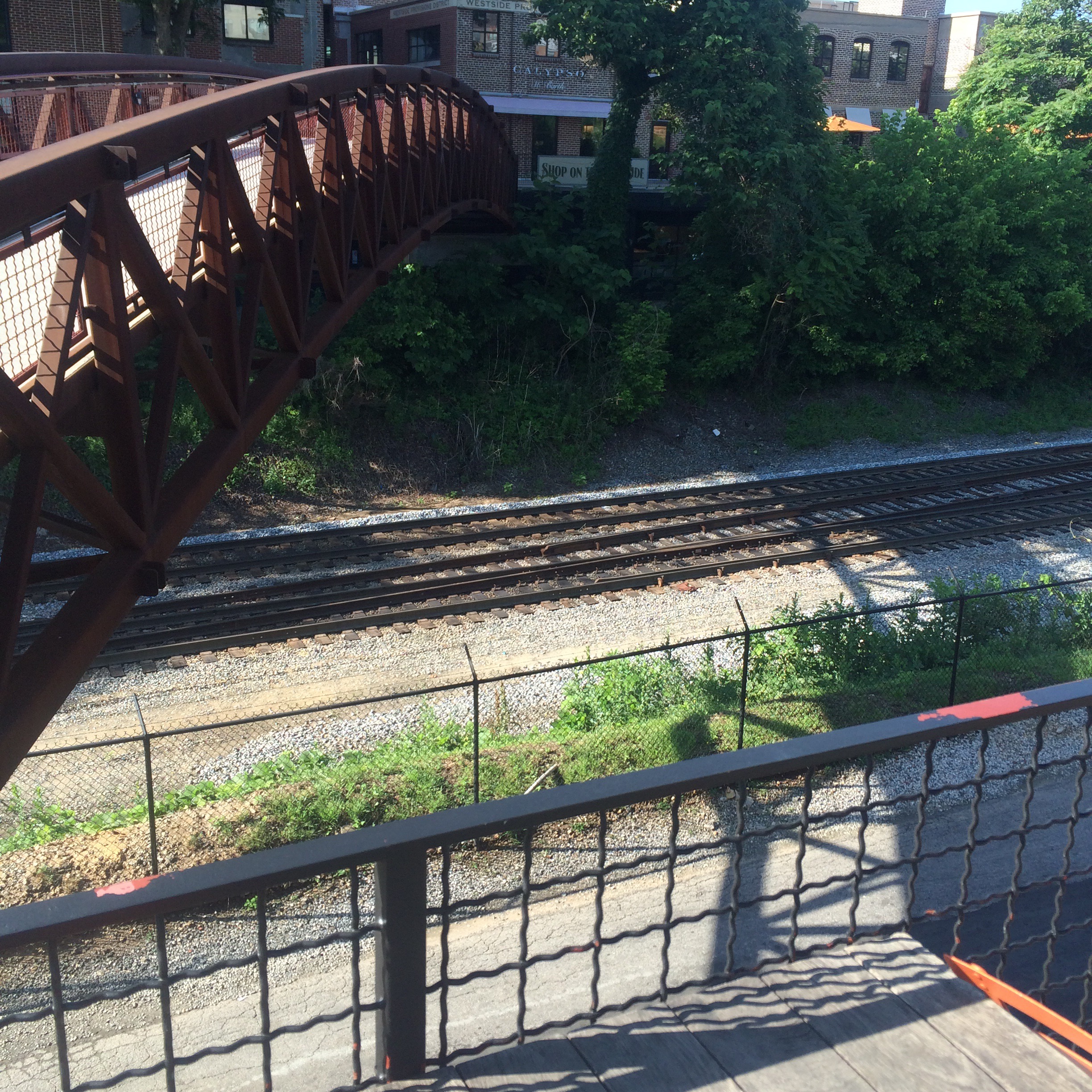
| 634.8 | BIRMONT
Visible from Westside Provisions District, and from end of Foster Street by Goat Farm arts center. |
| CSX | |
| 635 | HOWELL |
| 148.0 H | INMAN YARD |
CSX
Atlanta Division
Work in progress… CSX timetable not as easy to cut and paste from as NS!
A&WP Subdivision
Abbeville Subdivision
Atlanta Terminal Subdivision
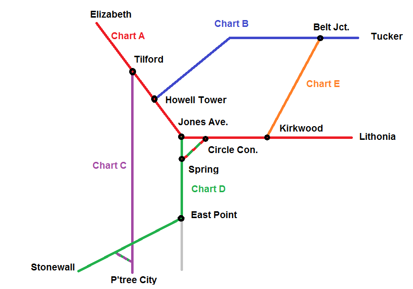
“Chart A”
| WA 22.4 | N ELIZABETH |
| WA 22.2 | ELIZABETH
GNRR/Patriot Rail connection. |
| WA 21.2 | SE EAST SIDING |
| WA 20.4 | MARIETTA DEPOT |
| WA 19.5 | BUTLER STREET |
| WA 17.6 | LOCKAIR |
| WA 15.0 | SMYRNA DEPOT |
| WA 13.1 | SMYRNA |
| WA 12.5 | I-285 |
| WA 11.2 | VININGS (HB-DED) |
| WA 7.9 | OVERMYER |
| WA 7.5 | JAC MAC LEAD |
| Chattahoochee River | |
|
WA 7.4 |
GILSTRAP |
|
WA 6.6 |
BOLTON |
|
WA 5.9 |
4700 |
|
WA 5.1 |
RAILPLANT |
|
WA 4.9 |
TILFORD
Near Marietta Street bridge. |
|
WA 4.7 |
PINE STREET |
|
WA 3.8 |
TOP OF SLIDE
Visible from Marietta Blvd bridge. |
|
WA 2.9 |
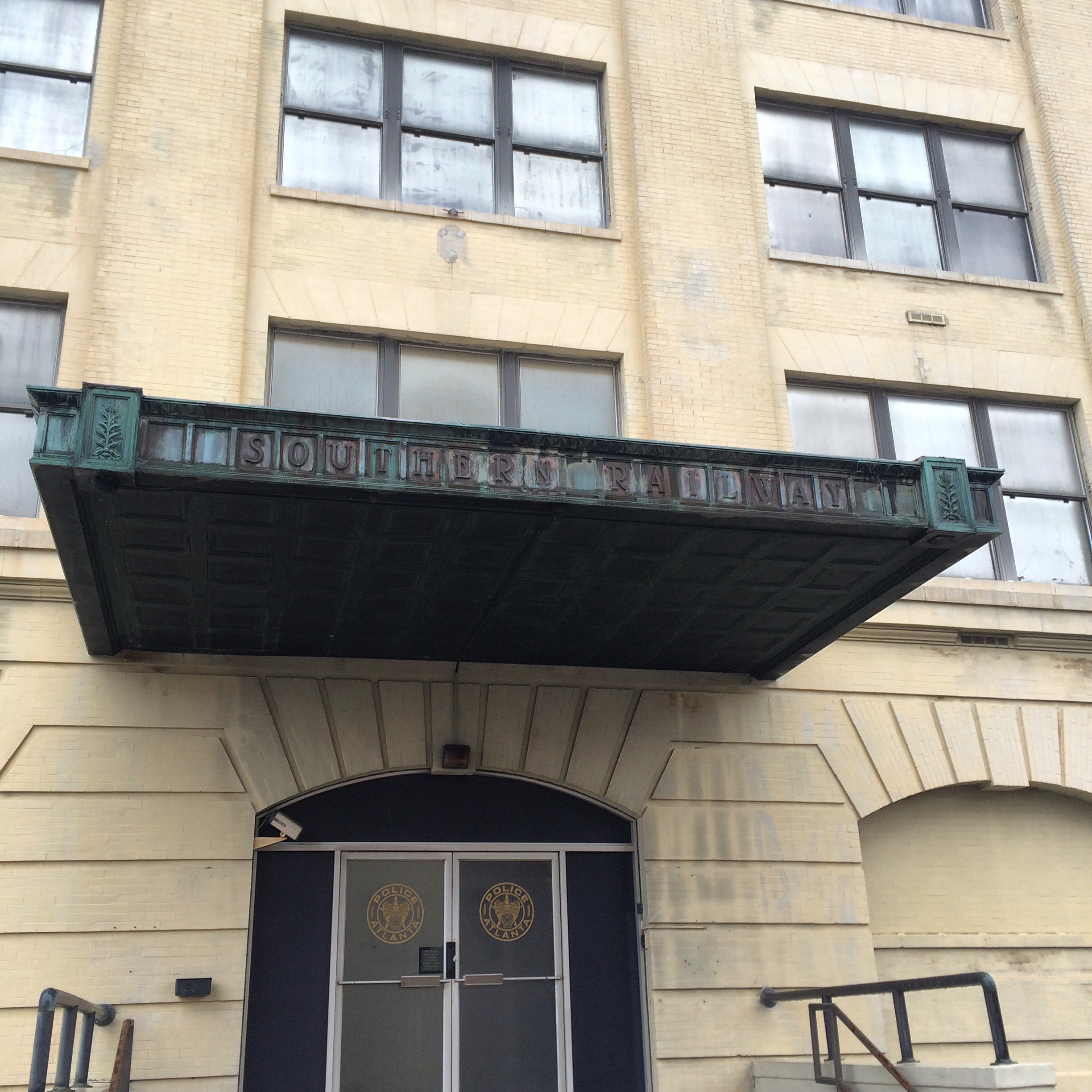
HOWELL TOWER
Behind Bim’s Liquor store/King Plow parking lot. |
| NS | |
|
WA 2.7 |
TENTH STREET
Street ends in parking lot at the tracks. |
| NS | |
|
WA 1.3 |
JONES AVENUE
The original name of Ivan Allen Jr Blvd. |
|
WA 0.8 |
THURMOND STREET |
|
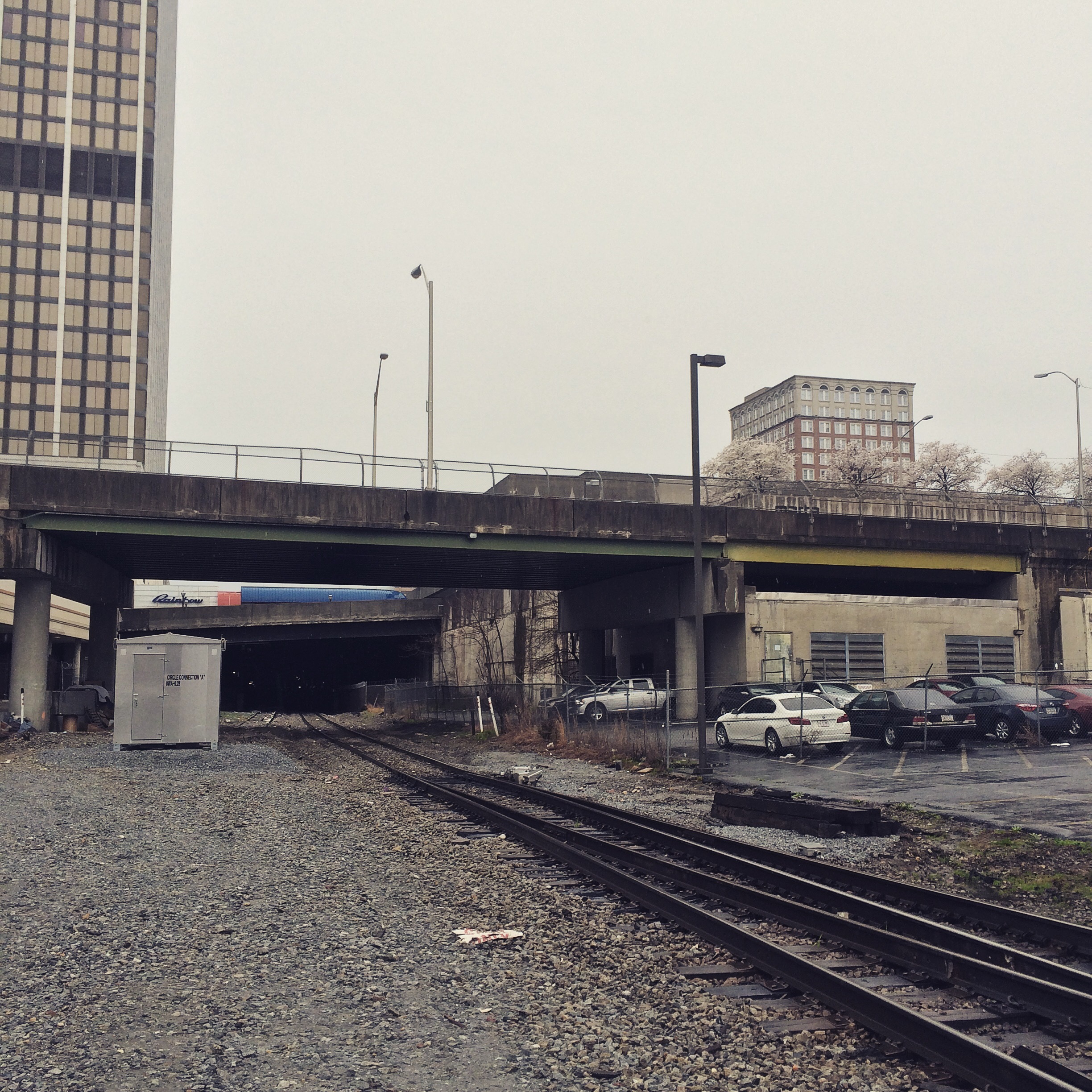
WA 0.0 |
CIRCLE CONNECTION
Where Fairlie Street dead-ends into a pay parking lot. This is the “zero milepost”, although the actual historic milepost marker is slightly to the east, in an underground building. |
|
YYG 170.0 |
BOULEVARD YARD |
|
YYH 169.5 |
HULSEY YARD |
|
YYG 168.5 |
HURT STREET |
|
YYG 168.1 |
LAFRANCE STREET |
|
YYG 167.2 |
PIE HOUSE |
|
YYG 166.8 |
HOWARD STREET |
|
YYG 165.9 |
KIRKWOOD
This is where Inman Park Belt (chart D) branches off. |
|
YYG 164.8 |
DECATUR |
|
YYG 162.5 |
SCOTTDALE |
|
YYG 162.4 |
DTC BLOCK SIGN |
|
YYG 157.7 |
PATILLO SPUR |
|
YYG 155.2 |
NE STONE MOUNTAIN |
|
YYG 154.5 |
DTC BLOCK SIGN |
|
YYG 154.4 |
SE STONE MOUNTAIN |
| YYG 152.9 | HB-DED |
|
YYG 149.0 |
LITHONIA |
“Chart B”
| SG 559.0 | TUCKER HOLDOUT |
| SG 561.0 | TUCKER |
| SG 563.5 | SE TUCKER |
| SG 567.5 | BELT JUNCTION
Where the Inman Park belt joins (chart E). |
| SG 567.9 | NE EMORY |
| SG 568.8 | SE EMORY |
| SG 570.9 | LENOX RD |
| MARTA | |
| SG 572.0 | MINA |
| NS | |
| SG 574.0 | EAST SWITCH |
| SG 574.7 | EAST WYE |
| SG 575.0 | HOWELLS YARD
Old SAL to Birmingham begins here. |
| SG 575.1 | SOUTH WYE |
| SG 575.3 | HUFF ROAD |
| TO TOP OF SLIDE, HOWELL TOWER |
“Chart C”
| WA 4.9/ANB 865.0 | TILFORD |
| WA 4.7 | PINE STREET |
| ANB 864.9 | T.V. |
| ANB 864.8 | SOUTH TILFORD |
| NORTH TUNNEL (UNDER CHART A) | |
| SOUTH TUNNEL (UNDER NS) | |
| ANB 862.8 | BELLWOOD LEAD
Near intersection of Jefferson St. and Marietta Blvd. Goes to Bellwood yard. |
| ANB 862.4 | SOUTH BELLWOOD
South of Joseph E. Boone, towards Andrews St. |
| ANB 861.8 | CHAPPELL ROAD |
| ANB 859.7 | GASCO
Where the tracks are running alongside I-20. |
| I-20 | |
| ANB 858.4 | STRATFORD
Along MLK blvd. |
| I-285 | |
| ANB 855.6 | FULCO JUNCTION
Near Cascade Rd. |
| ANB 853.9 | NE BEN HILL
Between Melvin Dr. and Campbelton Rd. |
| ANB 853.7 | BEN HILL |
| ANB 852.8 | SE BEN HILL
Along Daniel Rd. |
| ANB 848.0 | ACKERMAN
Near S. Fulton Pkwy |
| ANB 846.9 ??? | tunnel under A&WP tracks |
| ANB 846.1 | VAUGHN |
| ANB 845.0 | NE UNION CITY |
| ANB 844.0 | STONEWALL
MP 844 is next to the park in downtown Union City. |
| ANB 843.7 | SE UNION CITY |
| ANB 842.6 | DOGHOUSE
Nestle/Purina dog food factory. |
| ANB 836.9 | HANSON |
| ANB 835.6 | NE TYRONE |
| ANB 835.3 | TYRONE |
| ANB 834.8 | SE TYRONE |
| ANB 833.0 | ROCK SPUR |
| ANB 828.1 | NE PEACHTREE CITY |
| ANB 826.9 | SE PEACHTREE CITY |
“Chart D”
Shared with NS from Spring to East Point.
| WA 1.0 | JONES AVENUE |
| S 294.3 | SPRING (NS) |
| S 293.8 | PETERS ST (NS) |
| S 291.5 | OAKLAND JCT (NS) |
| XXC 5.2 | A&WP BELT LINE |
| S 290.0 | TILLMAN (NS) |
| S 288.8 | INDUSTRY YARD (NS) |
| XXB 6.4/S 228.2 | EAST POINT |
| XXB 8.4 | COLLEGE PK DEPOT |
| XXB 9.3 | NE COLLEGE PK STORAGE |
| XXB 10.0 | COLLEGE PK |
| XXB 10.8 | SE COLLEGE PK STORAGE |
| XXB 12.4 | NE RED OAK |
| XXB 13.4 | RED OAK |
| XXB 15.5 | SE RED OAK |
| XXB 15.5 | VAUGHN |
| XXB 16.2 | MIXON |
| XXB 16.4 | STONEWALL |
“Chart E”
| SGB 567.1 | BELT JUNCTION |
| SG 567.5 | |
| SGB 569.6 | EAST LAKE DRIVE |
| SGB 569.9 | |
| YYG 166.5 | KIRKWOOD |