This is the first time I’ve posted anything of my hometown on this blog since I restarted it on WordPress.
On a recent visit “home”, I went around Instagramming not the usual sights of the town (that is, boats and the water) but other aspects.
Schambeau’s
“S” logo on the sidewalk in front of the old Schambeau’s store. Schambeau’s, or Crum’s as the old folks called it (the propreitor was A. C. “Crum” Schambeau) was one of the most important businesses in town. They sold groceries, hardware, lumber, paint, you name it.
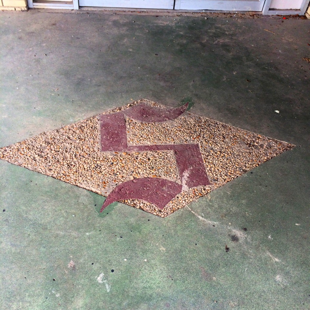
Schambeau’s was one of the two main sources in town (along with Modern Drug, not pictured but believe me it was not very modern at all) for comic books, an essential ingredient of late childhood and early adolescence in the 1980s as now.
If you had to go to the bathroom in Schambeau’s, you had to go back behind the meat department and up a set of stairs, past the office where Mr. Crum did his accounting on some kind of electromechanical monstrosity of a 1960s calculator, to a single unisex toilet with an oddly religious painting decorating the wall.
That isn’t remotely all there is to say about that place.
The Yellow House
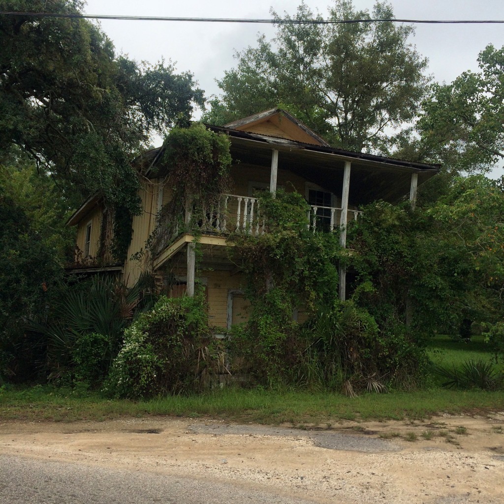
This next picture was a house around the Coden Belt road that, back in the 80s and early 90s, was (per my mother) a boarding house where all the known homosexuals in town lived. The landlord was another one of the Schambeau family. I assume the house reached this state of disrepair from Hurricane Katrina. According to my mother, this photo is of the wrong house, the correct one is the other (also yellow) house next door.
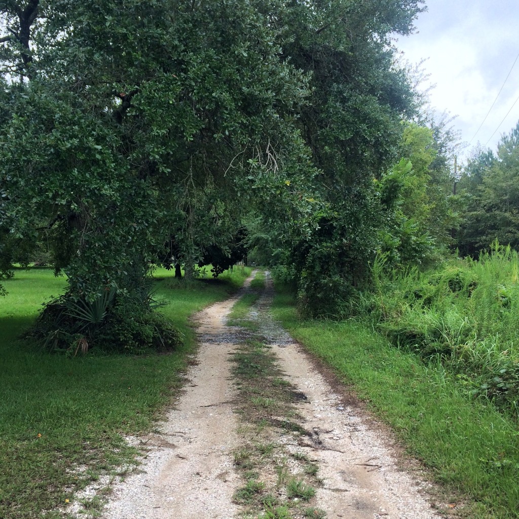
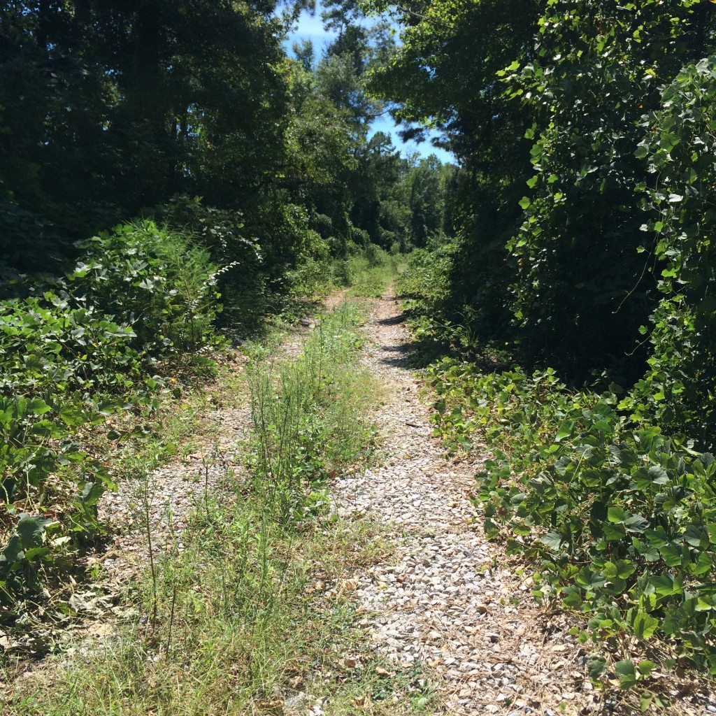
This is what the dirt lane beside that house looks like:
The Shell Fence
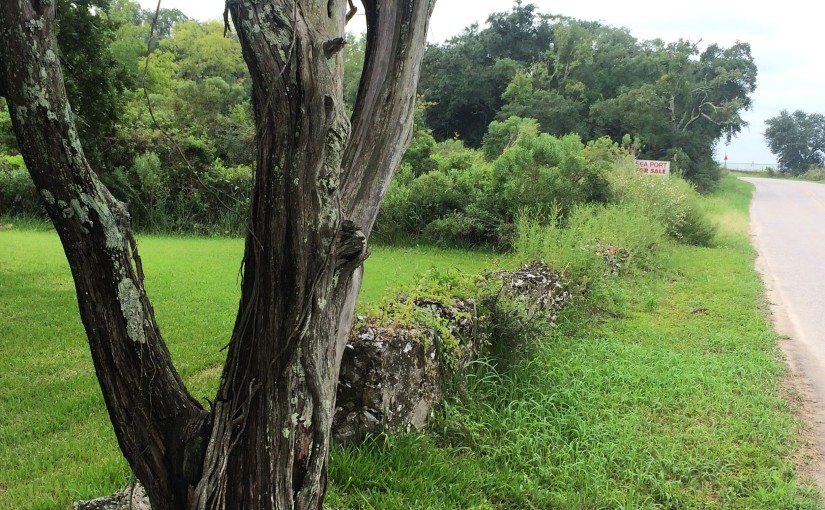
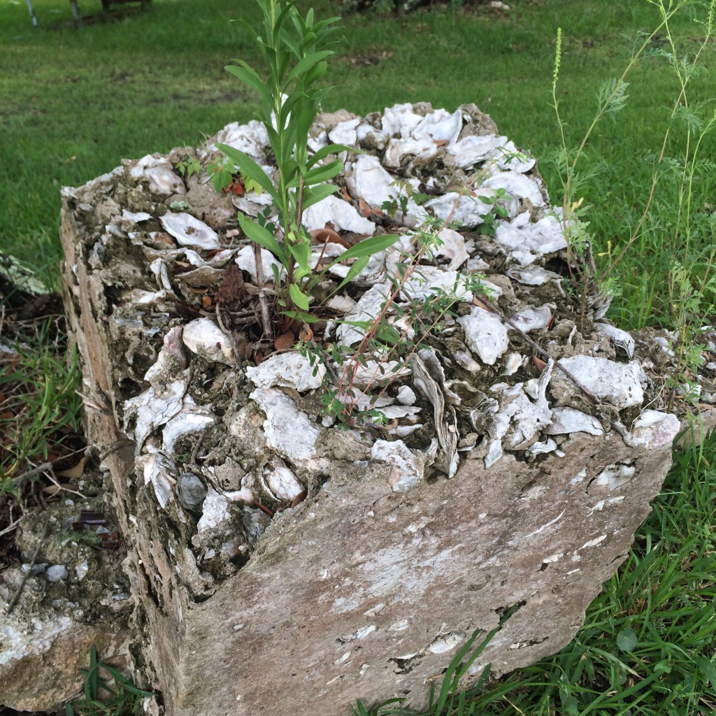
Just down the road a piece is the place with the oyster shell fence. This was, I am told, once a common local building material – there was once a “shell house” in town made entirely of it.
Coden Drive-In
The “Coden Drive-In”. You need to understand that “Coden” is pronounced something like “Code-Inn”, so the name of this place rhymed. The building got like this from Katrina but I don’t remember if it was in business right up until then or not.
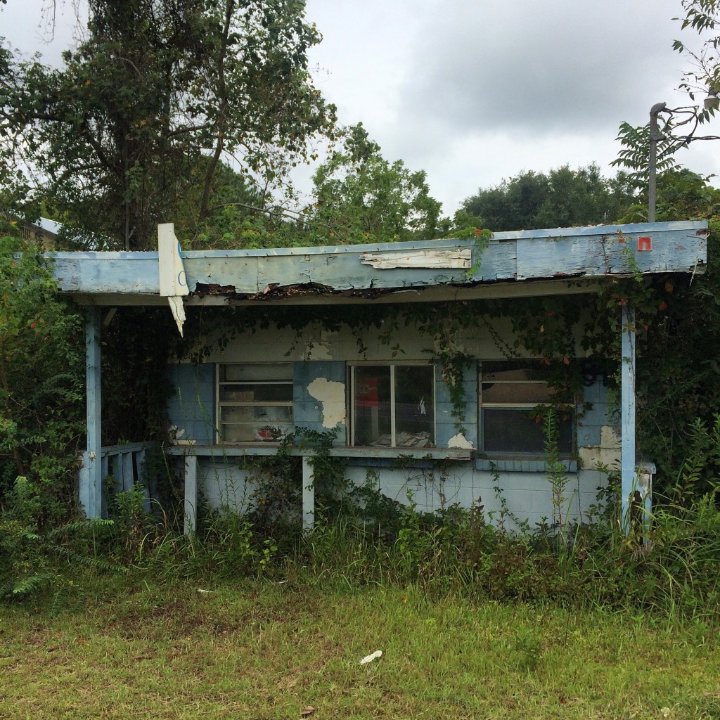
There wasn’t much to do in Bayou La Batre and Coden back in the late 70s and early 80s, so my family’s idea of a fun evening when I was about 5 years old was to come to this place and get ice cream cones, and then go driving around watching the sun set on the bay while we ate them.
The Catalina
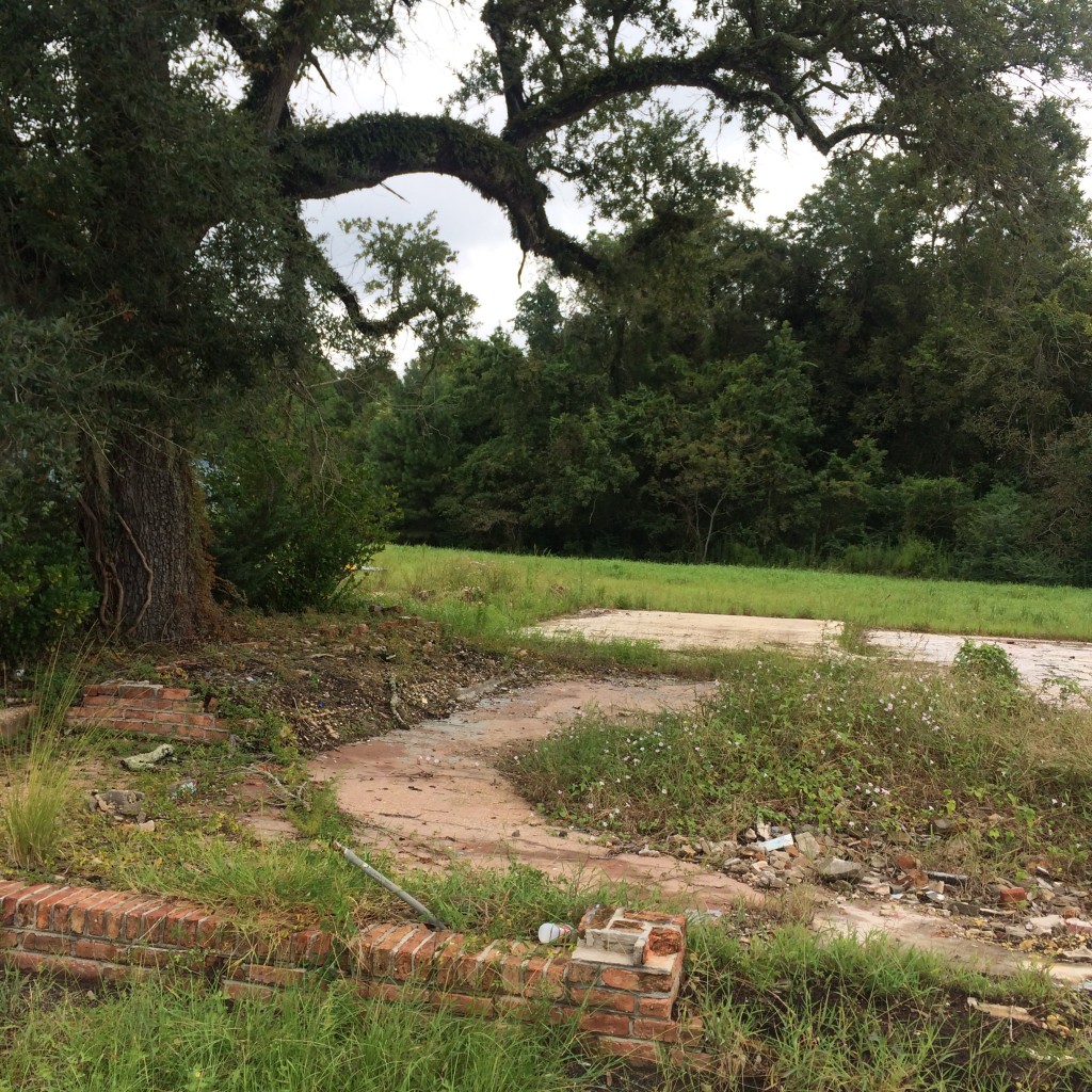
The ruins of the old location of the Catalina seafood restaurant, which everybody called “Ory’s”. The restaurant was closed for years after the hurricane but now is open in the old Schambeau’s building:
Royal Oaks
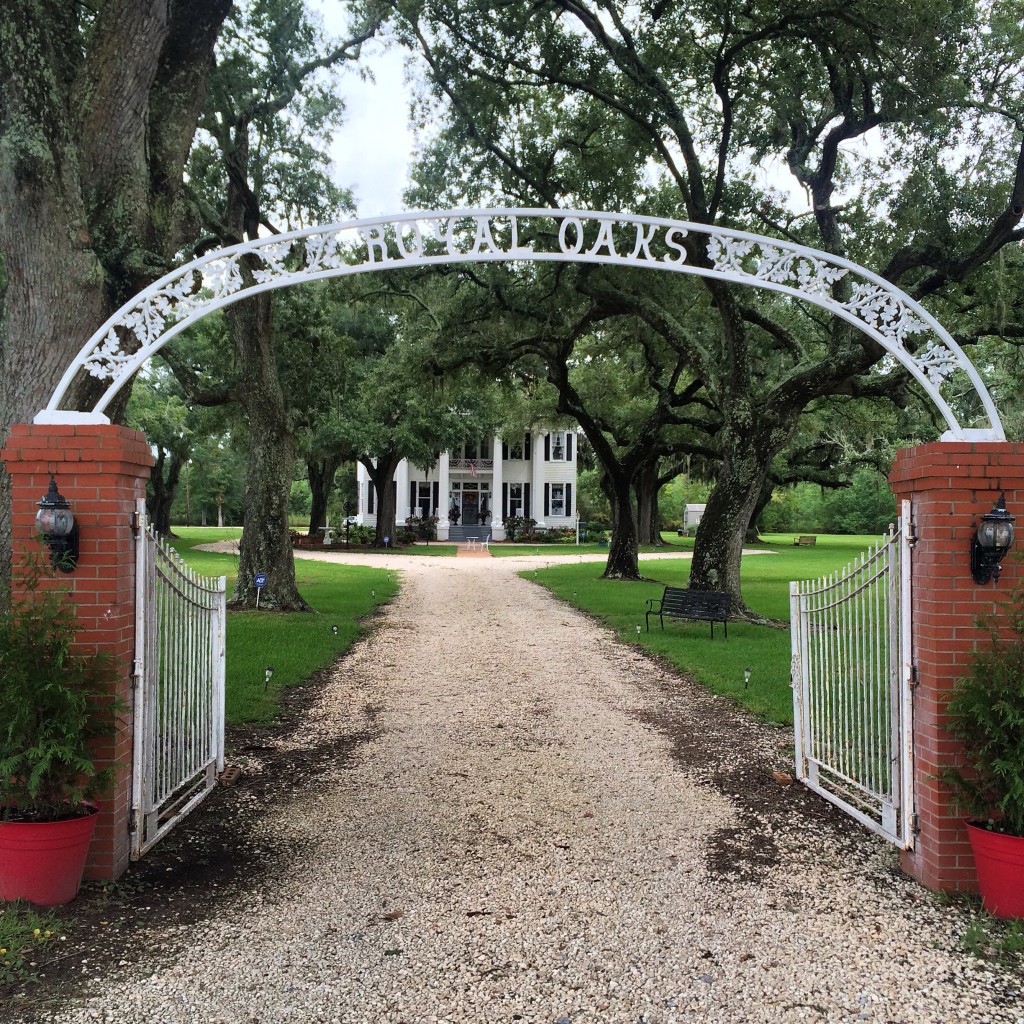
“Royal Oaks” is one of the few remaining homes from Coden’s days as a seaside resort in the l890s. This period of prosperity was ended by disastrous hurricanes in 1906 and 1916. They had no names then, just “the 1906 storm”.
Peter F. Alba School
And now, Alba. The school where I spent the blerst of my childhood. Now only a middle school, in my days Alba served kindergarten through 12th grade.
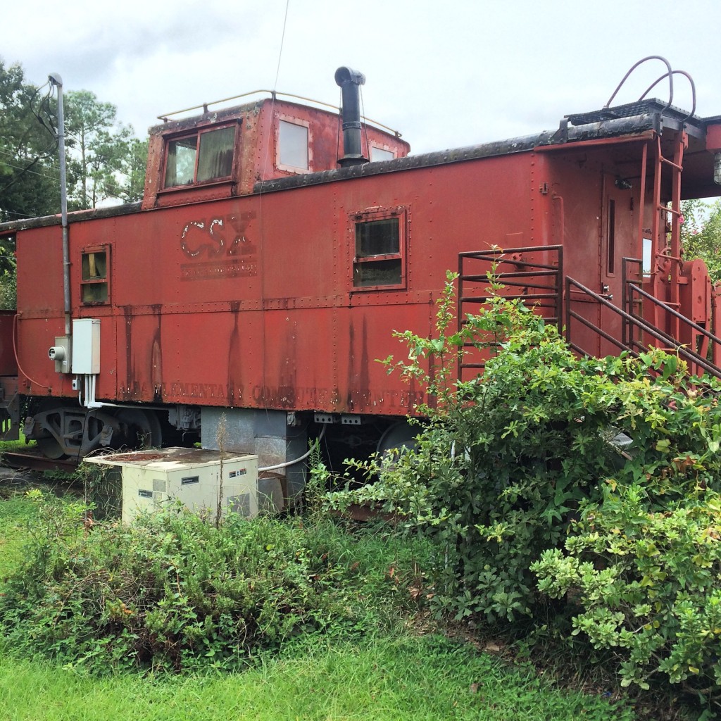
This caboose was installed when I was in high school. No predecessor of CSX ever ran to Bayou La Batre. (The only railroad in town, long since gone, was the Mobile and Bay Shore, a Mobile and Ohio subsidiary. If it had not been abandoned or sold, it would be part of Canadian National now.)
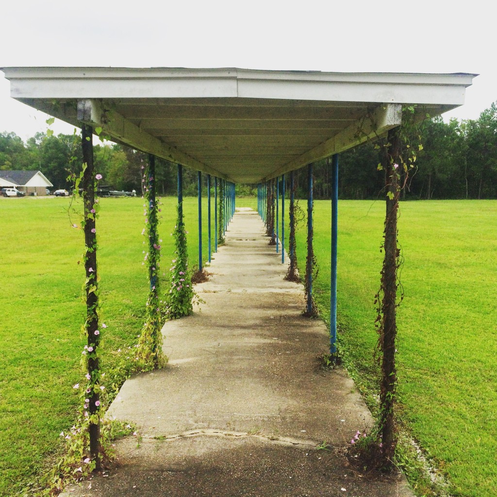
All of Alba’s “portables” – that was what they called a classroom trailer back then, a “portable” classroom – are gone. I don’t know if the hurricane got them, or if the school wasn’t crowded enough to need them anymore after the new schools opened and took most of the students. Now this was once a covered walkway that kept students out of the rain on our way to class, now it is just sitting in the middle of nowhere.
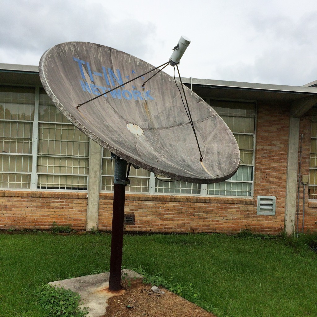
This was the satellite dish that we used to receive “Channel One” broadcoasts in the 90s:
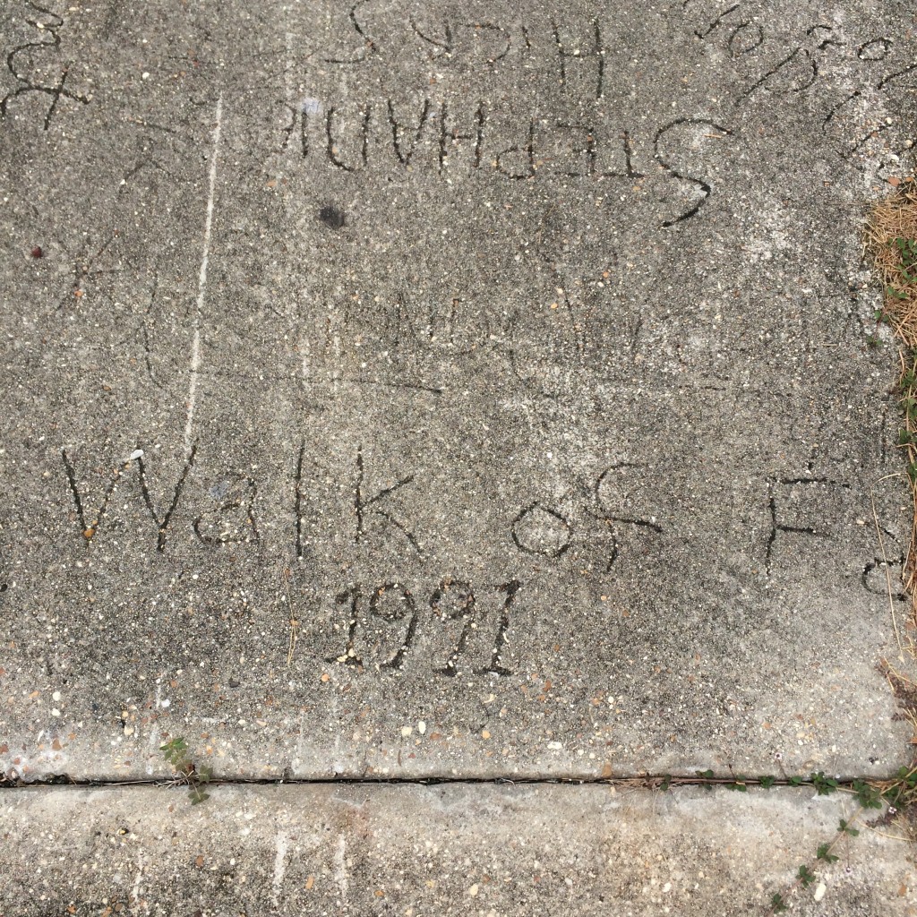
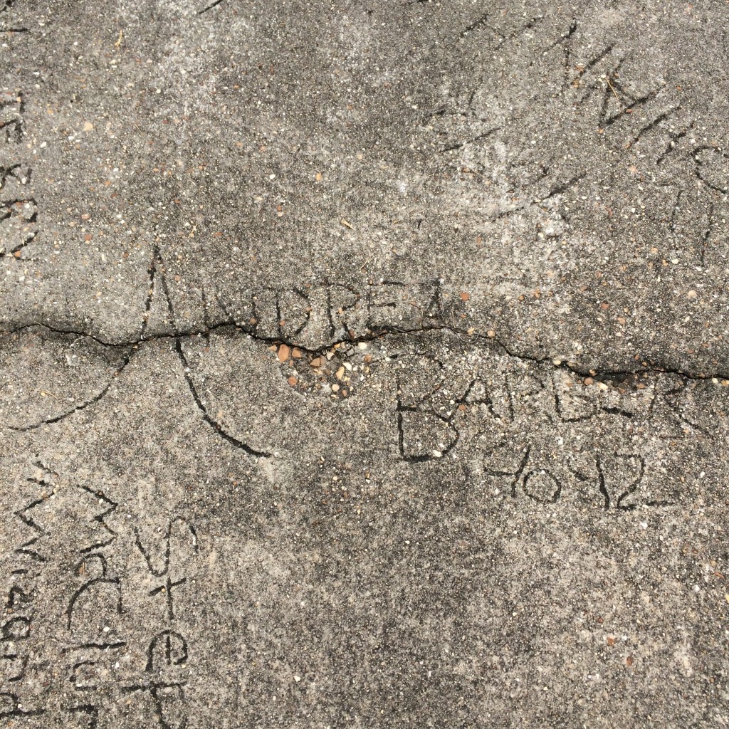
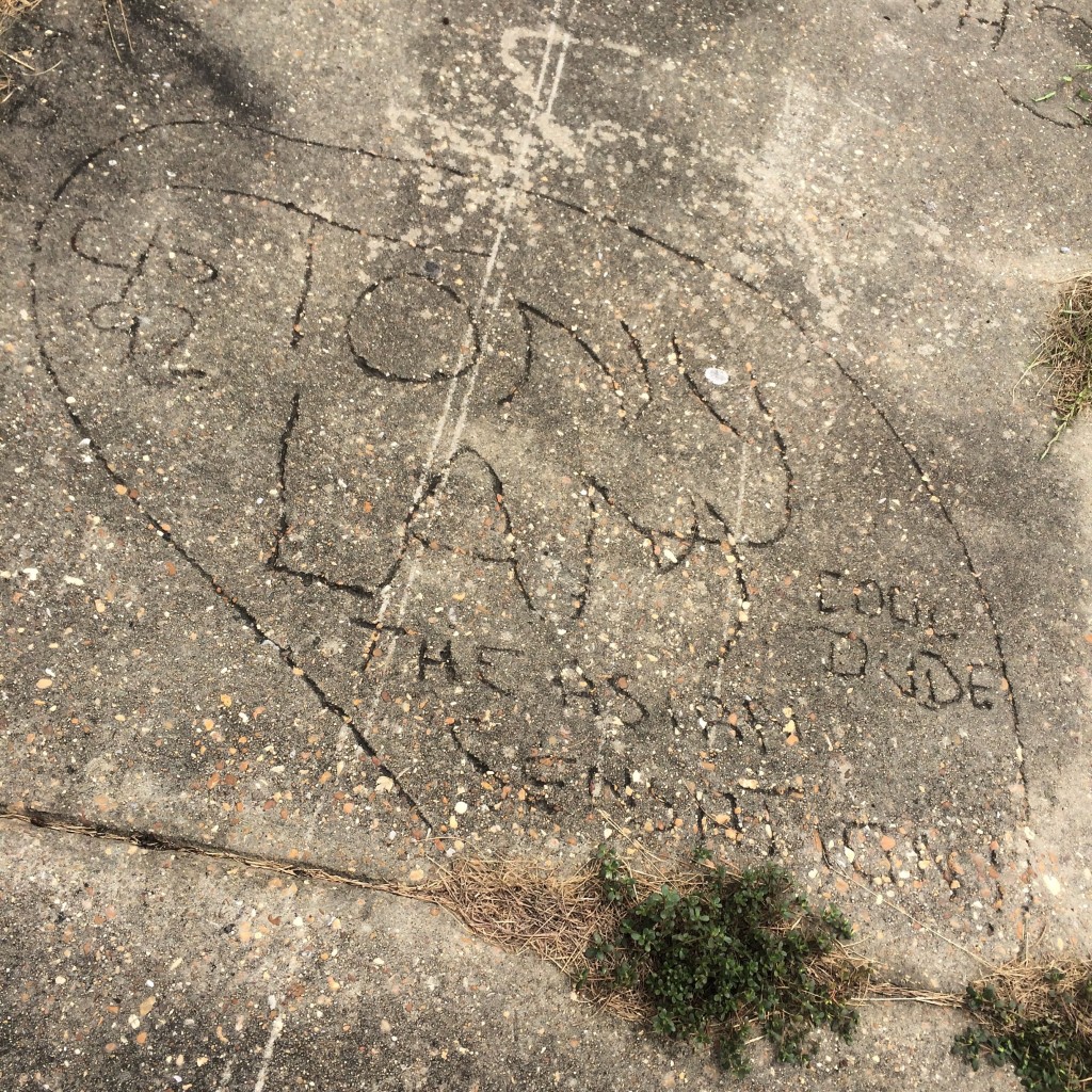
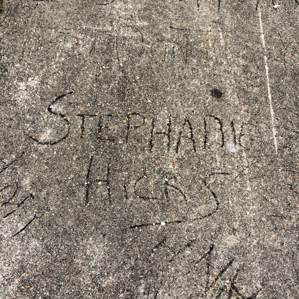
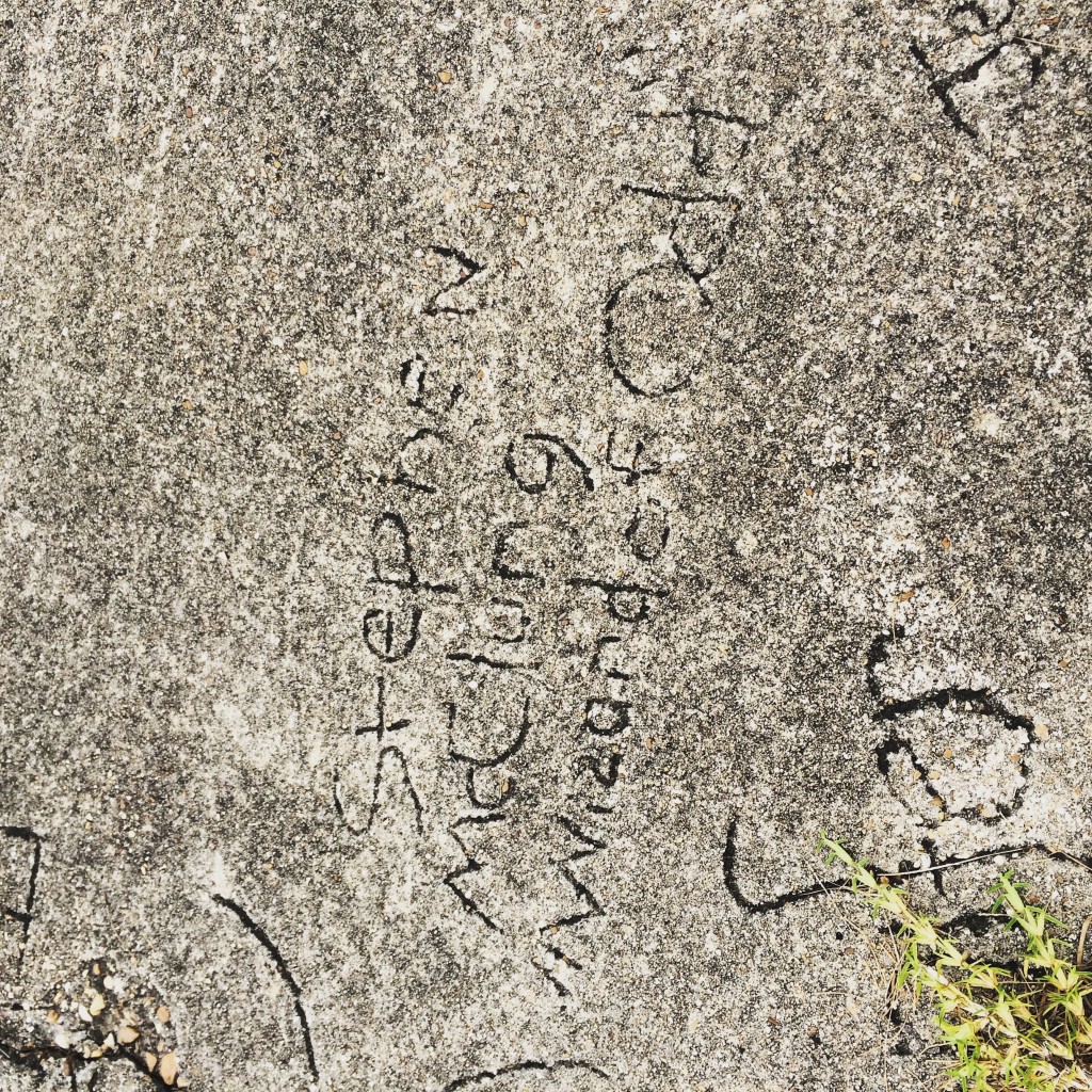
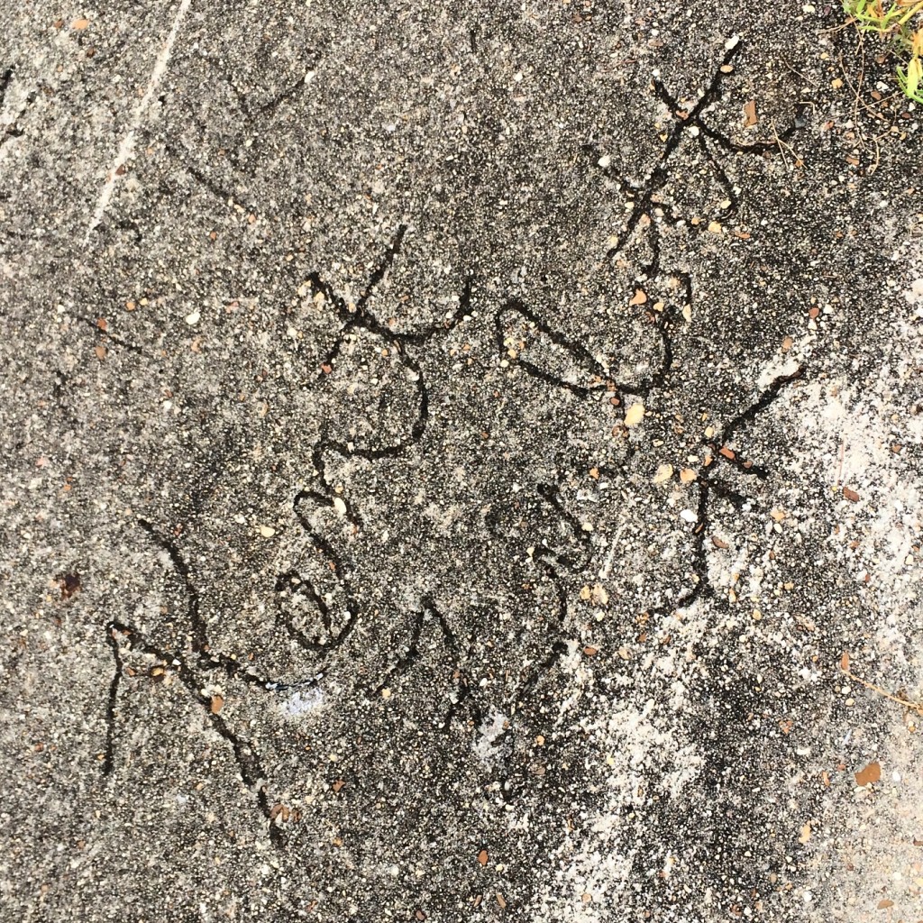
And now, the Walk of Fame of 1991. That year, the school put in a new sidewalk and allowed students to sign it. I looked and looked for my own name, but could not find it. I know almost all of the names as people I went to school with though.
