The Roswell Railroad

This post gathers the information I’ve been able to find about the Roswell Railroad, one of the almost-completely vanished and forgotten rail lines of the Atlanta area. This was branch of Southern Railway that operated between Chamblee and Roswell from 1881 to 1921.

According to RailGa.com:

The Roswell Railroad Company was incorporated in Georgia in 1879 as successor to the Atlanta & Roswell Railroad Company. It was controlled by the Atlanta & Charlotte Air-Line Railroad Company, which constructed the 10-mile, 3-foot gauge line and opened it for business on September 1, 1881. In the same year, the A&CAL was leased to the Richmond & Danville Railroad (which became Southern Railway in 1894).

(RailGa.com)

The town of Chamblee was originally called “Roswell Junction”.

However, feeling the name of the settlement was too similar to nearby Roswell, they randomly selected Chamblee from a list of petitioners for the new post office name.

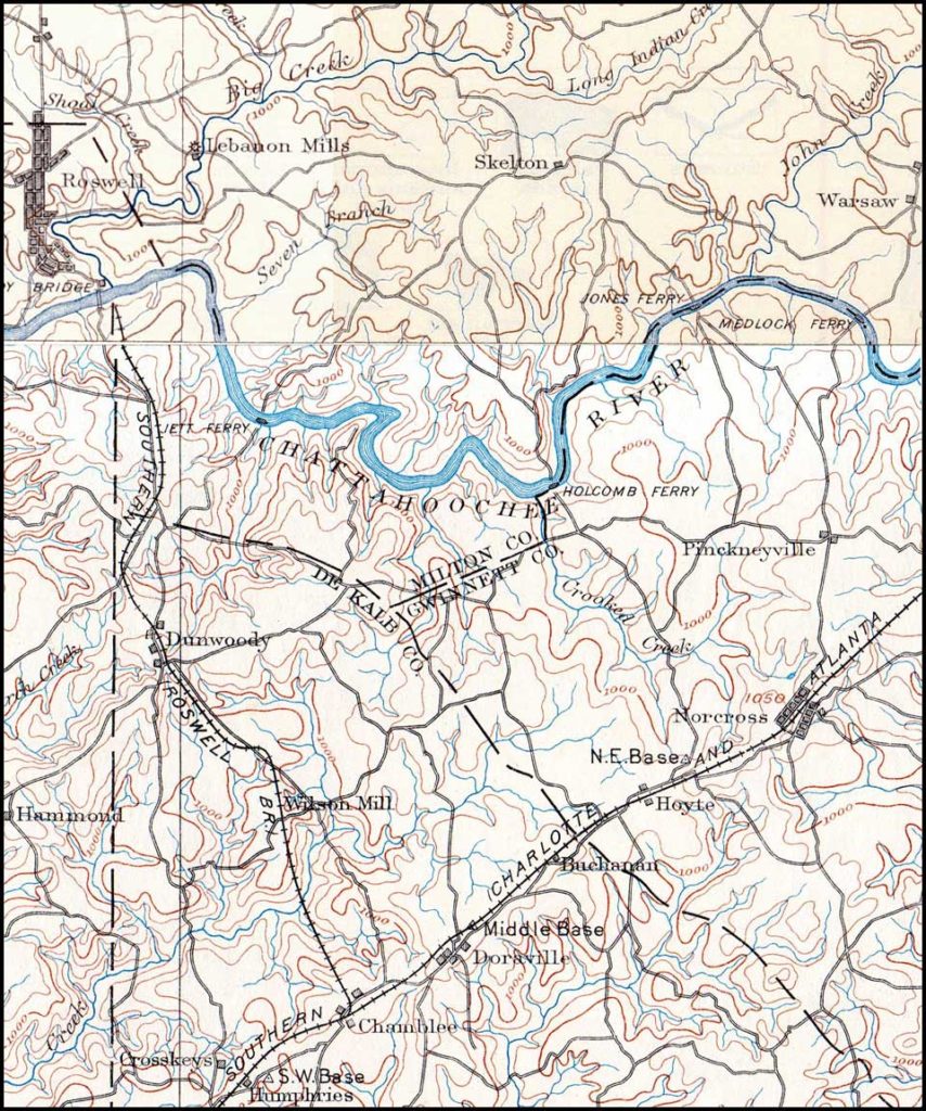
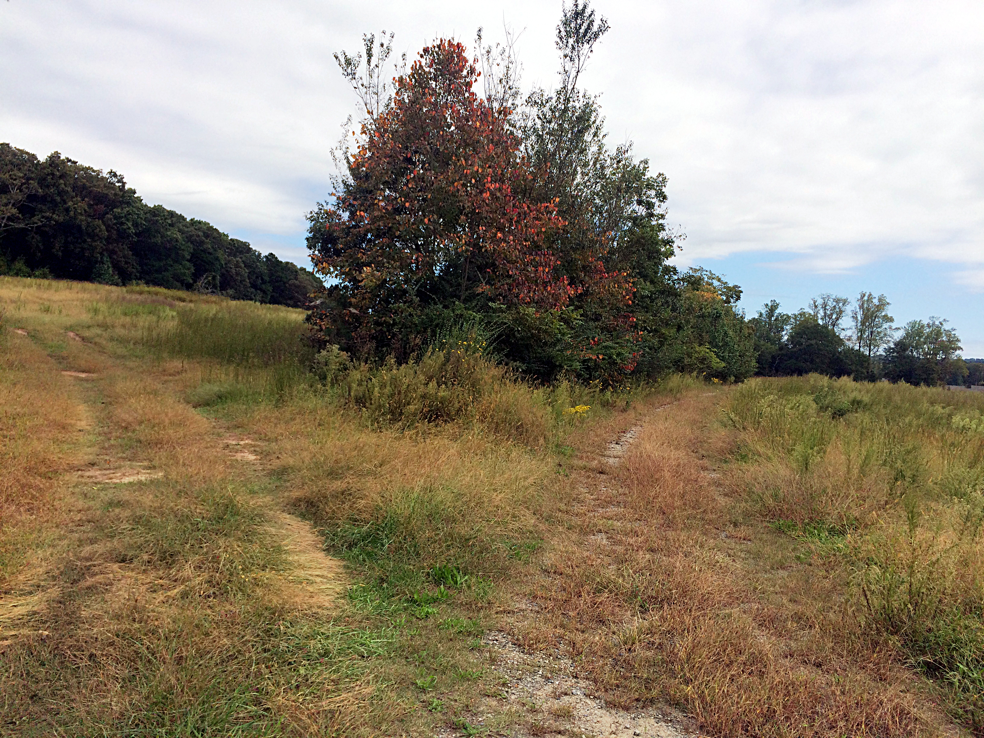
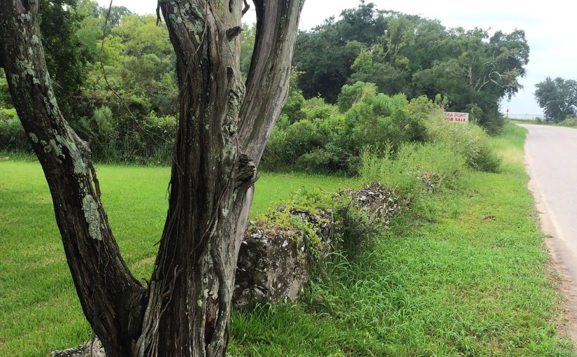
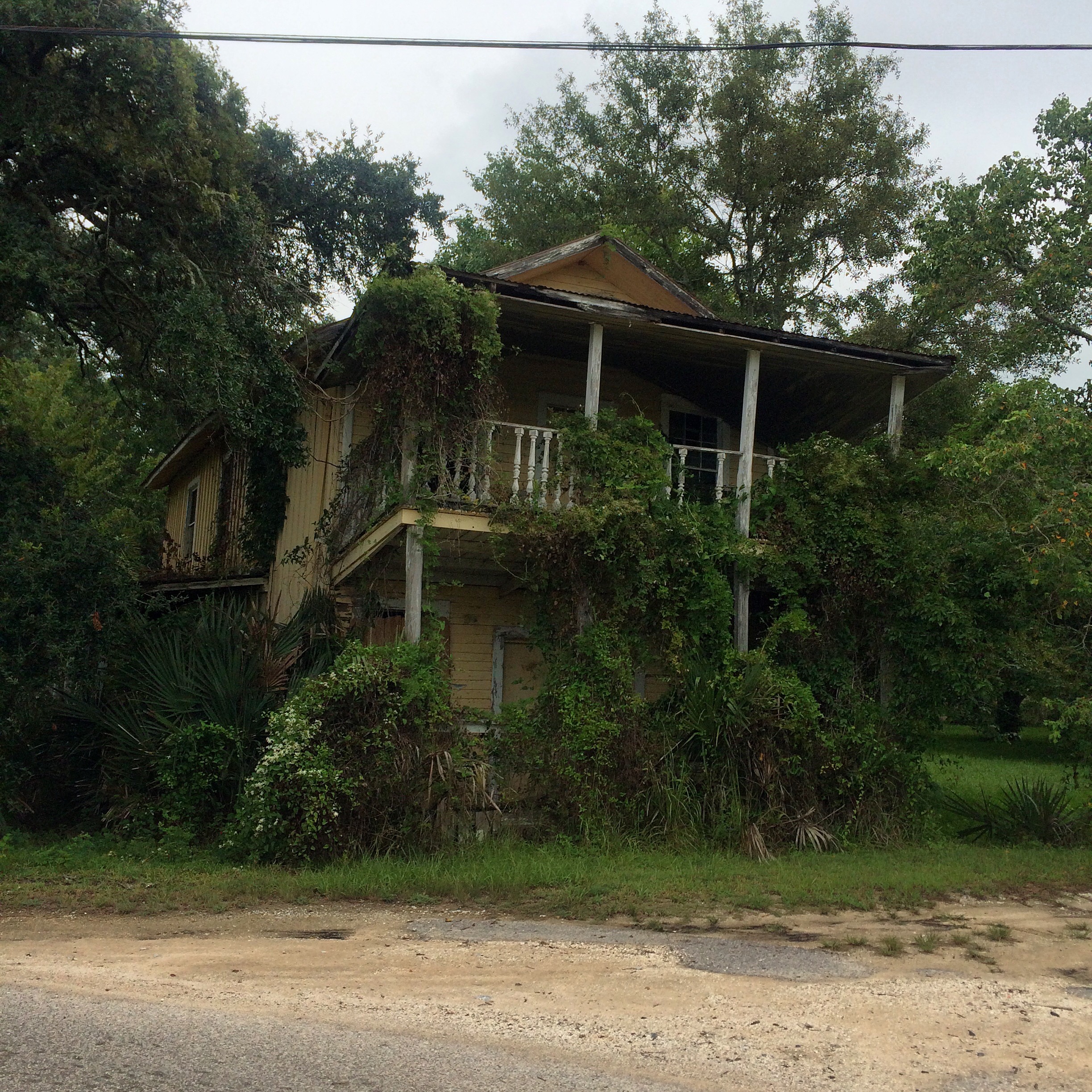
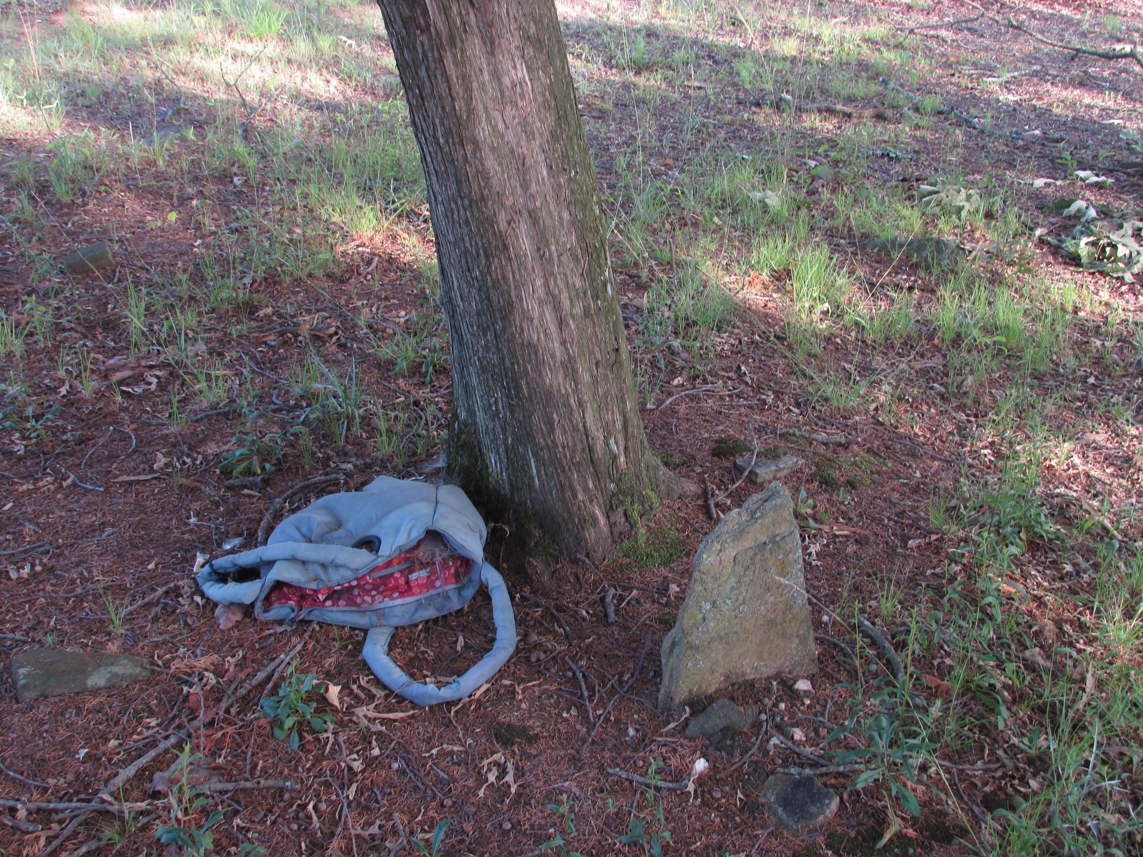
The railroad followed very roughly the present-day Chamblee-Dunwoody Road to the center of old-town Dunwoody, where the building located at 5518 Chamblee-Dunwoody Road was a section house.


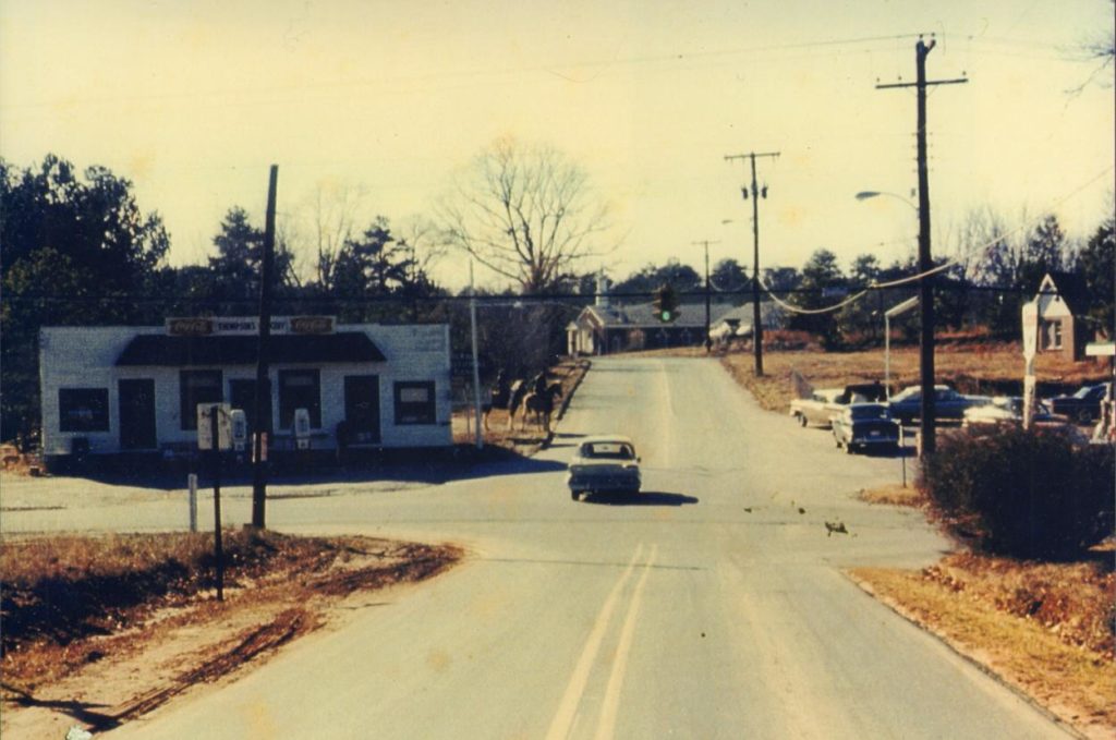
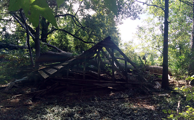
The original Dunwoody depot was later moved and used as “Thompson’s Store”, but this building no longer remains.

(from Narrow Gauge Discussion Forum)

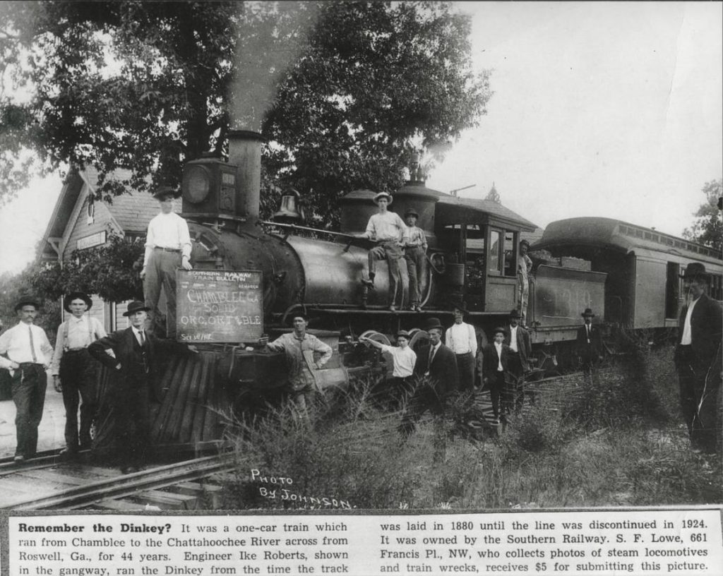
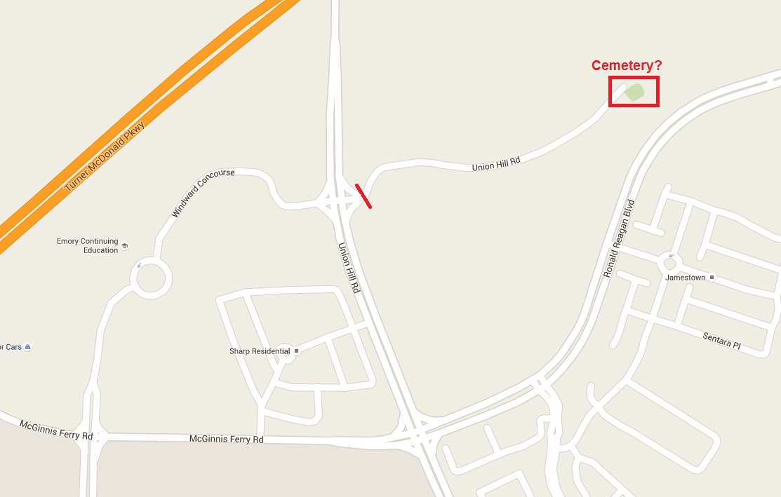
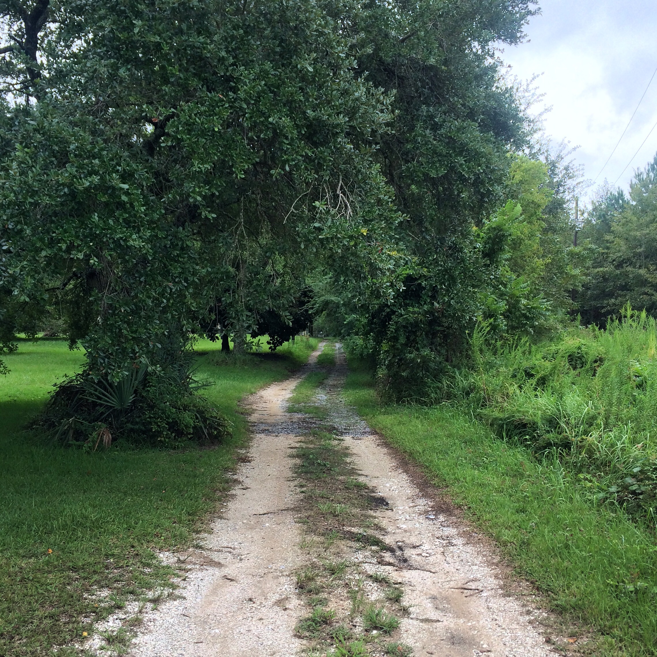
The line never actually reached Roswell, as the company was never able to build a bridge across the Chattahoochee. It ran along Roberts Drive and what is now Dunwoody Place, and ended near the present North River Tavern. This station was referred to as “Roswell” by the railroad. The engine house was “moved to by the river for use as a barn”.

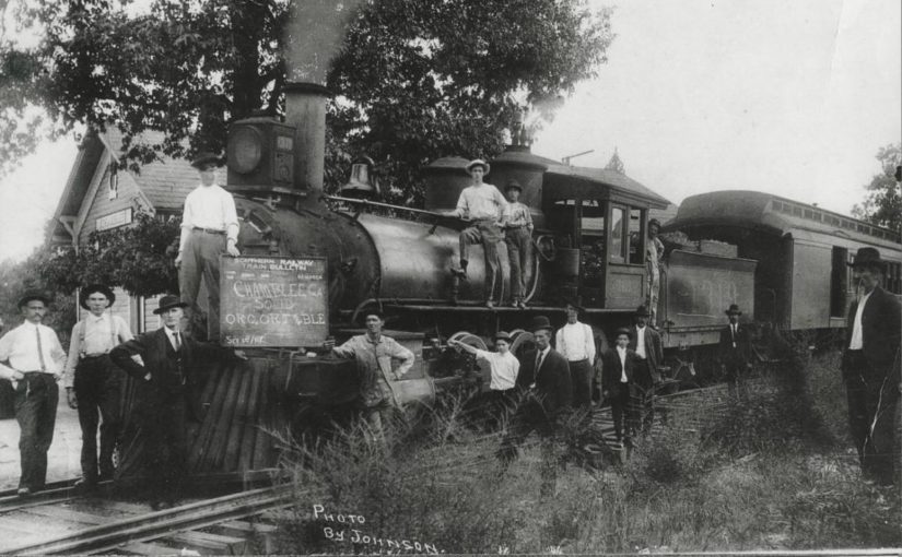
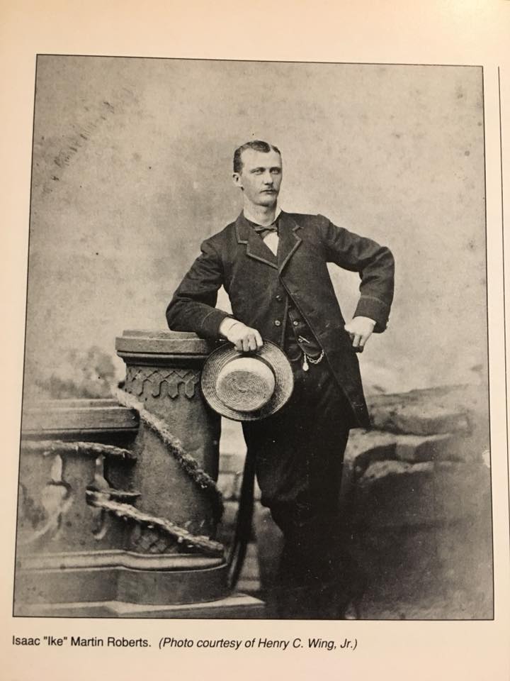
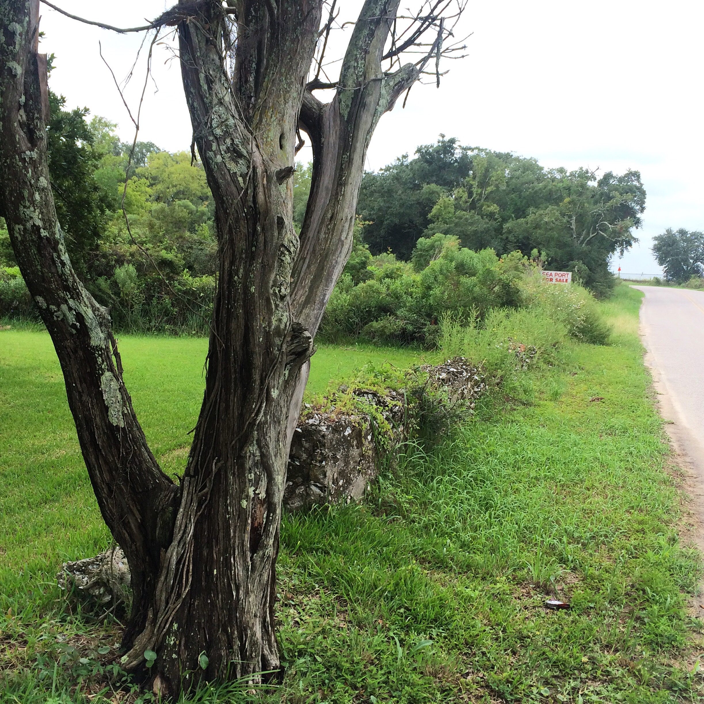
Roberts Drive is named after Isaac “Ike” Roberts, the “only engineer of the Roswell Railroad”, whose house still stands at 9725 Roberts Drive.

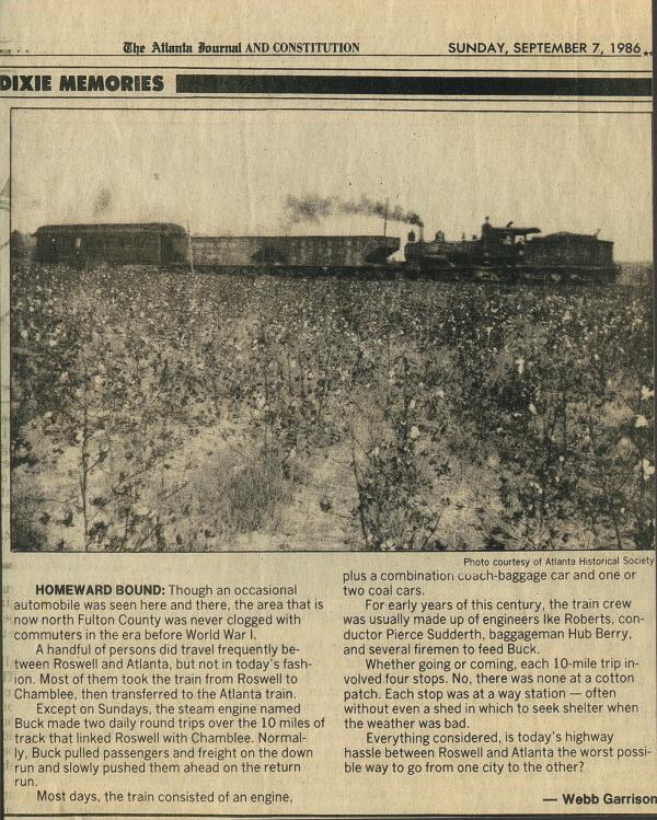
The final stop was Roswell Station, on the south bank of the Chattahoochee River, just east of the current Roswell Road. There was no means to turn the locomotive around, so it simply ran backwards on its return trip. The train was powered by 0-6-0-arranged Baldwin 1878 steam locomotive named “Buck.”

(from Historic Roswell Georgia)

There was also a branch to the current location of Morgan Falls Dam.

The railroad famously was used by Teddy Roosevelt when he visited Bulloch Hall in 1905.

Theodore Roosevelt, who had begun his presidency on reasonably good terms for a half-northerner president, had infuriated the South by inviting Booker T. Washington to dine in the White House. Consequently, he waited a few years until the episode blew over and finally visited Bulloch Hall for the first time while touring the South in 1905. He was thought to be the first sitting President of the United States to visit the South since the end of the American Civil War, however this is incorrect as William McKinley had visited the South earlier while celebrating the victory of the Spanish–American War.
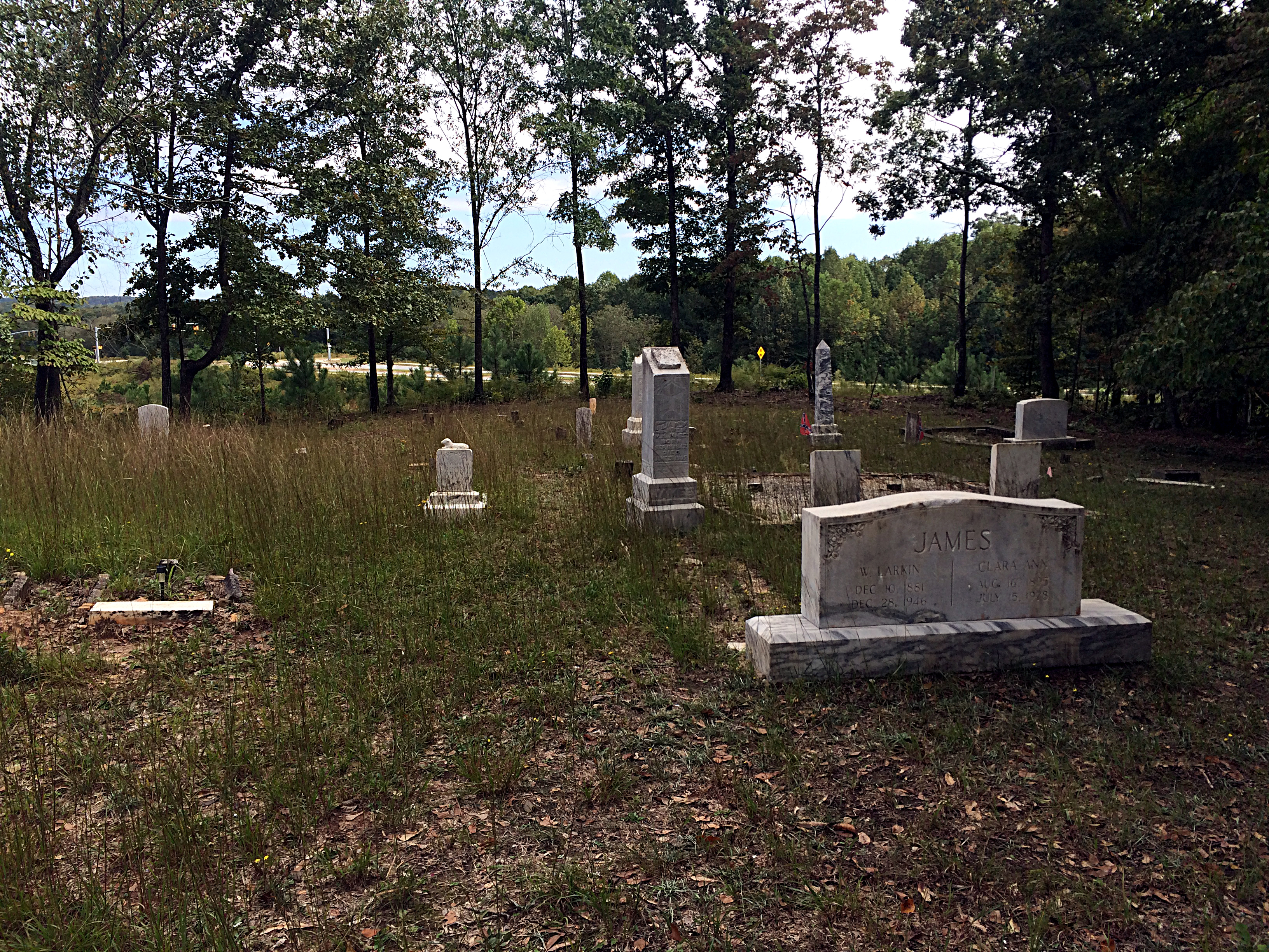
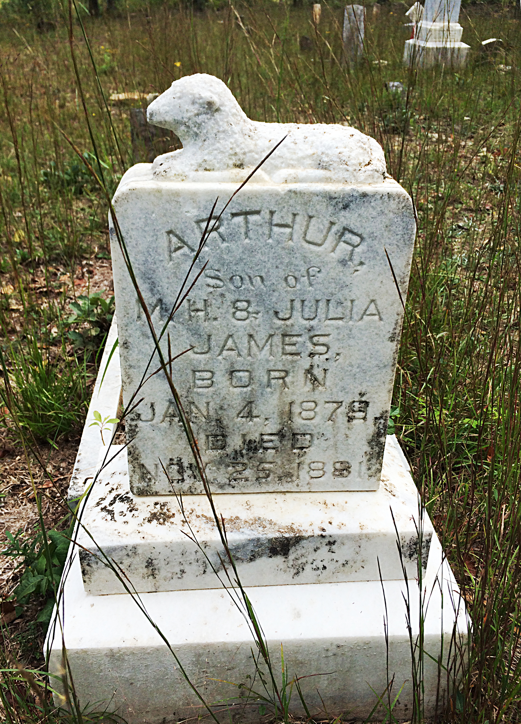
(from Narrow Gauge Discussion Forum)

Update:

It looks like I need to be paying a visit to the Roswell Visitors Center.

(from michaelhitt.com)

See also:

Atlanta area railroad mileposts

Here I reproduce information from the Norfolk Southern and CSX timetables. I have many times wished I had this to pull up on my iphone in a form other than the bulky PDFs this data is from.

Stations marked “not in timetable” represent signals that trains have been observed to call out (“Clear Doraville, NS 203 southbound”) over the scanner. NS generally does not list intermediate signals (between control points) in their timetables, but they may be shown on their track diagrams. Not sure about CSX.

Text in italics is additional commentary, not from timetable.

Norfolk Southern

First, a “British subway map” of these lines. Obviously not to scale.

ns_atl

Alabama Division

Source: http://www.multimodalways.org/docs/railroads/companies/NS/NS%20ETTs/NS%20AL%20Div%20ETT%20%231%208-4-2008.pdf

East End District

650 AUSTELL
652.9 LITHIA SPRINGS
655.2 BEN HILL
657.3 HBD-DED (Cracker)
658.7 Douglasville
663 HBD-DED (Winston)
664.6 WINSTON
666.6 CARROLL
668.2 BAGGETT
669.5 VILLA RICA
671.6 HBD-DED (Villa Rica)
675.5 TAYLOR
677.5 TEMPLE
680.6 HBD-DED (Morgan)
682.7 SEWELL
685 BREMEN
689 HBD-DED (Waco)
692.7 HUBBARD
695.2 TALLAPOOSA
697.9 HBD-DED (Tallapoosa)
699.9 GA/AL State Line
707.4 HBD-DED (Fruithurst)
708.4 FOSTER
710.4 EDWARDSVILLE
714.1 OWENS
716.3 HEFLIN
718.2 HBD-DED (Cleburne)
727.1 ARDREY
729.1 DEARMANVILLE
730.2 HBD-DED-HWD (Dearmanville)
733.4 LARDENT
735 ANNISTON (Amtrak station)
736.7 LETCHERS
741.6 HBD-DED (Bynum)
741.7 Coldwater Branch
743 BYNUM
746.4 GRAY
751.8 HBD-DED (Lincoln)
754.1 LINCOLN
756.1 EMBRY
758 COOSA
762.9 HBD-DED (Pell City)
767.8 HOLT
769.8 ROBERTS
771.6 HBD-DED (Cook Springs)
776.2 BROMPTON
778.1 COLEMAN
781.8 HBD-DED (Leeds)
781.9 LEEDS
782.7 CENTRAL
783.7 HENRY ELLEN
787.7 LOVICK
790.7 NORRIS JUNCTION (Norris Yard)
791.8 IRONDALE JUNCTION
798.1 32ND STREET
798.2 27TH STREET (Birmingham)

Georgia Division

Source: http://www.multimodalways.org/docs/railroads/companies/NS/NS%20ETTs/NS%20GA%20Div%20ETT%20%231%208-4-2008.pdf

Atlanta North District

240.0 A DeButts Yard (Chattanooga)
239.8 A WEBB
238.7 A PIERCE
238.2 A CITICO JCT.
237.3 A BROWN
236.6 A SPELL
236.0 A WILLIAMS
235.0 A JERSEY
230.6 A HBD-DED (Summit)
230.5 A SUMMIT
226.6 A/15.2 H OOLTEWAH
18.1 H HBD-DED (Collegedale)
21.7 H LONG
23.6 H GA/TN State Line
25.0 H HBD-DED (Cohutta)
27.0 H COHUTTA
31.5 H VARNELL
36.0 H WARING
36.2 H HBD-DED-HWD (Waring)
37.7 H NORTON
39.9 H N. DALTON
40.1 H HAIR
42.4 H WALNUT
45.1 H HBD-DED (Phelps)
45.2 H PHELPS
47.9 H FREEMAN
53.3 H DAVIS
55.3 H SUGAR VALLEY
58.2 H TALLEY
60.7 H HALL
55.4 H HBD-DED
66.2 H HBD-DED (Plainville)
67.8 H REEVES
69.6 H PINSON
75.1 H BERWIN
75.1 H HBD-DED
77.0 H Forrestville Yard
78.1 H FOX
81.2 H SMITH
83.9 H LINDALE
85.4 H HBD-DED (Silvercreek)
90.1 H BRICE
92.0 H GREEN
95.2 H HBD-DED (Seney)
98.5 H ARAGON
101.4 H OLLIE
102.0 H ROCKMART
105.7 H HBD-DED (Finch)
106.9 H FINCH
112.0 H ROGERS
114.5 H McPHERSON
118.2 H HBD-DED-HWD (Dallas)
121.4 H OAK
123.5 H HIRAM
125.4 H CLARK
128.2 H HBD-DED (Powder Springs)
130.3 H FOSS
131.3 H COWART
131.6 H SHIPP
132.8 H Whitaker Yard
132.9 H HBD-DED (Whitaker Yard)
133.0 H ENGLAND
134.7 H AUSTELL

East End district connects here.

137.2 H LOWE

Near Mableton

140.0 H NICKAJACK
140.7 H HBD-DED (Nickajack)
143.1 H JACKMAC

Visible from Buckner Rd.

Chattahoochee River
BRIDGE (not in timetable)

Accessible via Parrot Avenue.

145.5 H BOLTON
146.7 H FIELDS
146.8 H NORTH INMAN
148.0 H Inman Yard
149.0 H ROCKDALE

Can be seen from Marietta Blvd overpass.

Atlanta South District

149.9 H HOWELL

Behind Bim’s Liquor store/King Plow parking lot. See blog entry.

150.1 H KING PLOW

Visible from Marietta Street overpass / parking lot at end of 10th street.

JEFFERSON STREET (not in timetable)

Street dead-ends at tracks. Frequent crew-change point. Stopped trains visible from Marietta St bridge.

GRINELL (not in timetable)

Between Northside Drive bridge and North Avenue tunnel.

152.4 H SPRING

Visible from Mitchell, Nelson, Peters Streets. See blog entry.

153.? CIRCLE (not in timetable)

Very new signal sign just south of Peters St.

154.2 H WELLS

Across McDaniel Street from South Yard

154.6 H SOUTH YARD

Nearly-abandoned yard on McDaniel St, home to Pegram Shops and the Walking Dead’s “Terminus”.

155.4 H HENDERSON

University Ave/Hank Aaron Drive

158.8 H CONSTITUTION

Fayetteville Rd. and Old Constitution Rd.

158.8 H HBD-DED
162.5 H NORTH CONLEY

Moreland Ave (US 23) and E. Conley Rd.

164.5 H PLESS
165.7 H HBD-DED (Ellenwood)
171.5 H STOCKBRIDGE
173.7 H TUNIS (Flippen)
181.5 H McDONOUGH
183.5 H GROVE
187.4 H HBD-DED-HWD (Locust Grove)
193.0 H JENKINSBURG
195.0 H BUNCH
198.0 H HBD-DED (Jackson)
203.0 H FLOVILLA
205.2 H SANDY
208.0 H HBD-DED (Cork)
215.0 H BERNER
216.8 H JULIETTE
218.8 H SCHERER
222.5 H HBD-DED (Dames Ferry)
225.0 H GRUBBS
230.1 H DAMES
232.3 H ARKWRIGHT
233.7 H HBD-DED-HCD
239.1 H NORTH MACON
240.5 H MACON JCT.
242.0 H BROSNAN YARD

Griffin District

Ex-Central of Georgia. Shared with CSX to East Point.

S 294.3 SPRING
S 291.5 OAKLAND JCT.

Murphy Ave, near the Cut Rate Box Company building. Old A&WP belt line connects here.

S 290.0 TILLMAN
S 288.8 INDUSTRY YARD

Most of yard can be seen from Harold Sheets Pkwy.

S 288.2 EAST POINT

Near pedestrian bridge and MARTA. CSX leaves onto its own tracks.

S 286.4 HAPEVILLE

Sylvan Rd. crossing.

S 283.7 MOUNTAIN VIEW

Along Old Dixie Hwy. between I-75 and I-285.

S 282.2 FOREST PARK

Main St. and Hale Rd, at south end of yard.

S 280.1 LEE

Along Metcalf Rd. in Lake City.

S 277.8 MORROW
S 274.7 HBD (North Jonesboro)
S 273.4 JONESBORO
S 251.0 GRIFFIN
S 233.6 BARNESVILLE
S 223.5 COLLIER
S 221.1 HBD
S 217.0 FORSYTH
S 212.9 SMARR
S 206.1 HBD-DED (Bolingbrooke)
H 192.1 EDGEWOOD
H 197.0 RUTLAND JCT.

Piedmont Division

Source: http://www.multimodalways.org/docs/railroads/companies/NS/NS%20ETTs/NS%20Piedmont%20Div%20ETT%20%231%208-4-2008.pdf

Greenville District

484.1 Greenville (Amtrak station)
484.5 SOUTH GREENVILLE
486.5 FALLIS
489.2 CROSSWELL
492.5 HBD (Lathem)
493.6 HAYWOOD
498.5 METLER
504.1 TRABER
504.2 HBD (Traber)
508 JOHNSON
511.9 ROWLAND
513.7 HBD (Clemson)
514.2 Clemson
517 KEOWEE
519.6 COURTENAY
521.9 HBD (Seneca)
525.6 CHENEY
526.1 HBD (Cheney)
530.2 JASON
533.8 HUNTER
539.2 HBD-HWD (Madison)
542.1 TUGALO
545 PARK
547.3 TOCCOA (Amtrak station)
552 AYERSVILLE
552.4 HBD (Ayersville)
558 MT. AIRY
562 BALDWIN
564.1 HBD (Alto)
569.1 YONAH
572.5? Downtown Lula. Branch line to Athens connects to main line.
574 CAGLE
575.1 HBD (Cagle)
581.1 RED LANE

North of White Sulpur Rd. crossing.

584.6 Gainesville (Amtrak station)
585 MIDLAND

Junction with CSX Gainesville Midland sub

588 CHICOPEE
588.6 HBD (Oakwood)
592.3 GRIF

Near HF Reed Industrial Park Conn. bridge.

594.8 ALLEN

Near Flowery Branch

598.2 HBD (Walters)
599.8 WALTERS

Downtown Buford near Train Master model train store

605.2 SHADOW BROOK
611 HBD (Duluth)
612.7 DULUTH
615 CAROLINA

Between North and South Berkley Lake Roads.

619 NORCROSS

North-facing visible from Rowan Street / Stephens Rd crossing (near RockTenn).

619 HBD (Norcross)
621.4 RAY

Visible from Oakcliff Rd. bridge and from Bankers Industrial Dr.

622.7 (?) DORAVILLE (not in timetable)

Next to gravel truck parking lot on New Peachtree Rd, across from Marathon fuel terminal.

624.5 CHAMBLEE

Next to Peachtree St in downtown Chamblee

626.3 GOODWIN

Near Redding Rd

626.6 HBD (Goodwin)
630.9 FOREMOST

Near Piedmont Rd.

632.5 ARMOUR
633.3 ATLANTA (Amtrak station)
MECASLIN ST (not in timetable)

Grade crossing behind Atlantic Station Target, road is only access to Narjoe Lumber Co.

634.8 BIRMONT

Visible from Westside Provisions District, and from end of Foster Street by Goat Farm arts center.

CSX
635 HOWELL
148.0 H INMAN YARD

CSX

Atlanta Division

Source: http://www.multimodalways.org/docs/railroads/companies/CSX/CSX%20ETTs/CSX%20Atlanta%20Div%20ETT%20%233%201-1-2005.pdf

Work in progress… CSX timetable not as easy to cut and paste from as NS!

A&WP Subdivision

Abbeville Subdivision

Atlanta Terminal Subdivision

csx_atl_term

“Chart A”

WA 22.4 N ELIZABETH
WA 22.2 ELIZABETH

GNRR/Patriot Rail connection.

WA 21.2 SE EAST SIDING
WA 20.4 MARIETTA DEPOT
WA 19.5 BUTLER STREET
WA 17.6 LOCKAIR
WA 15.0 SMYRNA DEPOT
WA 13.1 SMYRNA
WA 12.5 I-285
WA 11.2 VININGS (HB-DED)
WA 7.9 OVERMYER
WA 7.5 JAC MAC LEAD
Chattahoochee River

WA 7.4

GILSTRAP

WA 6.6

BOLTON

WA 5.9

4700

WA 5.1

RAILPLANT

WA 4.9

TILFORD

Near Marietta Street bridge.

WA 4.7

PINE STREET

WA 3.8

TOP OF SLIDE

Visible from Marietta Blvd bridge.

WA 2.9

HOWELL TOWER

Behind Bim’s Liquor store/King Plow parking lot.

NS

WA 2.7

TENTH STREET

Street ends in parking lot at the tracks.

NS

WA 1.3

JONES AVENUE

The original name of Ivan Allen Jr Blvd.

WA 0.8

THURMOND STREET

WA 0.0

CIRCLE CONNECTION

Where Fairlie Street dead-ends into a pay parking lot. This is the “zero milepost”, although the actual historic milepost marker is slightly to the east, in an underground building.

YYG 170.0

BOULEVARD YARD

YYH 169.5

HULSEY YARD

YYG 168.5

HURT STREET

YYG 168.1

LAFRANCE STREET

YYG 167.2

PIE HOUSE

YYG 166.8

HOWARD STREET

YYG 165.9

KIRKWOOD

This is where Inman Park Belt (chart D) branches off.

YYG 164.8

DECATUR

YYG 162.5

SCOTTDALE

YYG 162.4

DTC BLOCK SIGN

YYG 157.7

PATILLO SPUR

YYG 155.2

NE STONE MOUNTAIN

YYG 154.5

DTC BLOCK SIGN

YYG 154.4

SE STONE MOUNTAIN
YYG 152.9 HB-DED

YYG 149.0

LITHONIA

“Chart B”

SG 559.0 TUCKER HOLDOUT
SG 561.0 TUCKER
SG 563.5 SE TUCKER
SG 567.5 BELT JUNCTION

Where the Inman Park belt joins (chart E).

SG 567.9 NE EMORY
SG 568.8 SE EMORY
SG 570.9 LENOX RD
MARTA
SG 572.0 MINA
NS
SG 574.0 EAST SWITCH
SG 574.7 EAST WYE
SG 575.0 HOWELLS YARD

Old SAL to Birmingham begins here.

SG 575.1 SOUTH WYE
SG 575.3 HUFF ROAD
TO TOP OF SLIDE, HOWELL TOWER

“Chart C”

WA 4.9/ANB 865.0 TILFORD
WA 4.7 PINE STREET
ANB 864.9 T.V.
ANB 864.8 SOUTH TILFORD
NORTH TUNNEL (UNDER CHART A)
SOUTH TUNNEL (UNDER NS)
ANB 862.8 BELLWOOD LEAD

Near intersection of Jefferson St. and Marietta Blvd. Goes to Bellwood yard.

ANB 862.4 SOUTH BELLWOOD

South of Joseph E. Boone, towards Andrews St.

ANB 861.8 CHAPPELL ROAD
ANB 859.7 GASCO

Where the tracks are running alongside I-20.

I-20
ANB 858.4 STRATFORD

Along MLK blvd.

I-285
ANB 855.6 FULCO JUNCTION

Near Cascade Rd.

ANB 853.9 NE BEN HILL

Between Melvin Dr. and Campbelton Rd.

ANB 853.7 BEN HILL
ANB 852.8 SE BEN HILL

Along Daniel Rd.

ANB 848.0 ACKERMAN

Near S. Fulton Pkwy

ANB 846.9 ??? tunnel under A&WP tracks
ANB 846.1 VAUGHN
ANB 845.0 NE UNION CITY
ANB 844.0 STONEWALL

MP 844 is next to the park in downtown Union City.

ANB 843.7 SE UNION CITY
ANB 842.6 DOGHOUSE

Nestle/Purina dog food factory.

ANB 836.9 HANSON
ANB 835.6 NE TYRONE
ANB 835.3 TYRONE
ANB 834.8 SE TYRONE
ANB 833.0 ROCK SPUR
ANB 828.1 NE PEACHTREE CITY
ANB 826.9 SE PEACHTREE CITY

“Chart D”

Shared with NS from Spring to East Point.

WA 1.0 JONES AVENUE
S 294.3 SPRING (NS)
S 293.8 PETERS ST (NS)
S 291.5 OAKLAND JCT (NS)
XXC 5.2 A&WP BELT LINE
S 290.0 TILLMAN (NS)
S 288.8 INDUSTRY YARD (NS)
XXB 6.4/S 228.2 EAST POINT
XXB 8.4 COLLEGE PK DEPOT
XXB 9.3 NE COLLEGE PK STORAGE
XXB 10.0 COLLEGE PK
XXB 10.8 SE COLLEGE PK STORAGE
XXB 12.4 NE RED OAK
XXB 13.4 RED OAK
XXB 15.5 SE RED OAK
XXB 15.5 VAUGHN
XXB 16.2 MIXON
XXB 16.4 STONEWALL

“Chart E”

SGB 567.1 BELT JUNCTION
SG 567.5
SGB 569.6 EAST LAKE DRIVE
SGB 569.9
YYG 166.5 KIRKWOOD

Etowah Subdivision

Georgia Subvision

Manchester Subdivision

W&A Subdivision

Eastern Continental Divide: North of Gainesville

Picking up where the last one left off, this gets you out of the burbs and into the woods. At the northern end, it gets you into the mountains, even.

The route through Gainesville is rather arbitrary and I’m not sure how close it follows the divide.

You are pretty much running parallel to US 23 (when you are not actually on US 23) all the way.

The early parts of this route are very close to Lake Lanier.

From Lula through Mt. Airy, you are running directly beside the Norfolk Southern main line.

I have only been as far north on this route as Alto, so I can’t really say what the remainder of it looks like.

The end point here looks to be about as far as you can follow the ECD on public roads. From here, the ECD turns westward and generally forms the Habersham/Rabun county border until meeting the Tennessee Valley Divide at Young Lick.  I don’t see any roads that directly follow this ridge, not even dirt Forest Service roads. From Young Lick, the ECD continues north on the Appalachian Trail. At that point, following the divide becomes more of a matter of hiking than driving.

ecd3-fixed

Google Maps Link

Start on Aviation Blvd, continue east from last time
Right on GA 60
Left on West Ridge Rd
Right on Athens St
Left on East Ridge Rd
Left on Old Cornelia Highway
Right on US 129
Left on White Sulphur Rd
Left to stay on White Sulphur Rd
Left on Cagle Rd
Right on GA 52
Sharp left on GA 51
Continue onto Main Street (Lula)
Continue onto Gainsville Highway
Continue onto Old Cornelia Highway
Continue onto Willingham Ave
Continue onto Main Street (Cornelia)
Right on Highland Ave
Left to stay on Highland Ave
Continue on Chenocetha Dr
Right on Wyly St
Continue on Dicks Hill Pkwy
Left on Rock Rd
Left on Antioch Church Rd
Right on US 23/US 441
Right on John Wood Rd
Left on Tom Born Rd
Right on Old Historic US 441
Left on The Orchard Rd
Right on Bear Gap Rd

Eastern Continental Divide: Duluth to Gainesville

Picking up where the previous route through Atlanta ended, this follows the ECD (within the limits of road placement) through the northeastern metro area. To be honest this is a rather boring drive through the suburbs. You can skip to the next post to pick it up where things get mildly interesting again.

The earlier part has some shenanigans with Old Peachtree Road, leaving it without turning and turning to stay on it at different points.

The segment on GA 20 is an area where no road follows the ECD. If you look close at a topo map you’ll see this section crosses a creek, not something you’ll see when following a ridge line.

The segment on GA 124 passes the site of Ft. Daniel, one of the original endpoints of the trail that became Peachtree Road.

The GA 13 portion mostly runs closely parallel to I-985.

Gainesville’s airport is an arbitrary stopping point dictated mainly by limitations on the number of route modifications that Google Maps allows you to make.

ecd2-fixed

(Aside: notice how close the divide is to Lake Lanier? The western edge of Lake Lanier’s drainage basin is also visible on this map, over near GA highway 9. The lake is really not very far at all from the boundaries of the area drained by it.)

Google Maps Link

Start at Old Peachtree Rd and I-985, go east
Left on Northbrook Pkwy
Continue on Old Peachtree Rd
Continue on Horizon Dr
Left on Old Peachtree Rd (yes, again)
Left on Rock Springs Rd
Right on GA 20
Left on Old Peachtree Rd
Left on GA 124/Braselton Hwy
Left on Hamilton Mill Rd
Right on Ridge Rd
Continue onto Hog Moutain Rd
Right on GA 13
Right on Industrial Blvd
Right on Aviation Blvd

Lynyrd Skynyrd’s recording studio is now an anonymous warehouse in Doraville

Per Wikipedia:

Studio One was a recording studio, located in the northern Atlanta, Georgia suburb of Doraville. The address was 3864 Oakcliff Industrial Court, Doraville Ga 30340. It is now occupied by a non related business and used as a warehouse.

Check out the list of albums recorded here, it includes not only four Lynyrd Skynyrd album but also probably the earliest recording featuring Ronnie James Dio on vocals.

In the 1970s and 1980s Doraville was a haven for blue-collar white Southerners, aka rednecks. This was gone by the early 2000s, as much of the original population was displaced by immigrants.

This is what the address on the wiki page looks like today. I almost have a hard time believing it. The red car in the center of the picture is parked next to the door of number 3864.

DSC_0273a

Howell Wye? More like Howell Weeds

One of the constant elements of southeastern railfanning is kudzu, sumac, honeysuckle, wisteria – you know, weeds. As summer turns to fall, we have one last chance to appreciate all that luscious green foliage.

Trains sneak out of the underbrush like wild animals.

DSC_0236a

In a few months this will all be gray and brown.

DSC_0210a

By the way, Pokeweed was traditionally used as a source of food in the South and in Appalachia even though it is toxic. I guess our ancestors would rather risk being poisoned by their food than not having any at all.

Sumac, visible in most of these shots, has some species that are used as flavorings (such as for tea), but I wouldn’t try it with this wild stuff.

Edit: this is probably Rhus glabra, smooth sumac. It is supposed to be edible, although it is not the same species cultivated for tea.

DSC_0203a

Kudzu leaves are edible as well but in the South you never know that the kudzu you pick wasn’t sprayed with something nasty in an unsuccessful attempt to kill it.

DSC_0250a

All these plants attract bees and wasps, which were buzzing around during these shots, although it was kind of hard to hear them over the trains.

Link: Flickr album with more of this

Union Hill Road: Cemetery, Ghost Roads, Skeleton Houses

Sometimes I use Ronald Reagan Blvd as an alternate to GA 400 between exits 11 and 12. This road goes through mostly vaporware developments – planned subdivisions, some of which don’t seem to have even started construction, others seem to have had some grading and nothing else. Lots of places where they put it in a turn off of the main road but it just dead-ends into a field. That sort of thing. This is literally where the streets have no name.

Recently I noticed, off to the west side of the road, what appeared to be a graveyard on a hill overlooking a construction zone. I decided to try to find it.

Now, on the map, it looks like you can get there via Union Hill Road:

unionhillrd

But, where I drew that red line across the road, that’s where you find this gate:

IMG_7965

So, clearly I’m not driving there. It was a nice day for a walk, though. You can  of see some traces (as in the next photo, on the right path) that this road was once paved, but the pavement is very much going back to nature. Maybe it will someday again be paved. I hope not.

IMG_7966

At the end of the road is another gate. This one has a “no trespassing” sign but the sign is facing the other way from where I came. I don’t know who they are trying to keep out from that direction.

IMG_7970

Beyond the gate is the cemetery:

IMG_7971

Most of the graves seem to belong to a James family, and on the topographical USGS map this is in fact marked as “James Cem”. The most recent date I saw was 1978, but they are mostly 19th century dates. Confederate flags are planted next to several that are Civil War era.

IMG_7974

IMG_7977

This graveyard clearly is still maintained, someone cuts the grass here and those flags look pretty new.

After this, I decided as a bonus to explore some nearby old houses back on the road.

This is all that’s visible from the street, and really gives no clue:

IMG_8009

The inside of this building has some graffiti, but even that is dated from 2001!

IMG_7999 IMG_8002

Dig this chair!

IMG_8004

The adjacent buildings here are nothing but frame. Only a little bit of siding remains, someone has removed the rest of it.

Now all the remains is the “bones”, facing out over the empty field.

IMG_7985

IMG_7987

IMG_7990

All those new neighborhoods being built nearby, some of those people in those houses must have kids. I hope those kids run around unsupervised in these fields and these woods and ruins, trespassing and risking injury. One can dream.

Flickr Album of these photos

Bayou La Batre and Coden

This is the first time I’ve posted anything of my hometown on this blog since I restarted it on WordPress.

On a recent visit “home”, I went around Instagramming not the usual sights of the town (that is, boats and the water) but other aspects.

Schambeau’s

“S” logo on the sidewalk in front of the old Schambeau’s store. Schambeau’s, or Crum’s as the old folks called it (the propreitor was A. C. “Crum” Schambeau) was one of the most important businesses in town. They sold groceries, hardware, lumber, paint, you name it.

IMG_7854.JPG
Schambeau’s was one of the two main sources in town (along with Modern Drug, not pictured but believe me it was not very modern at all) for comic books, an essential ingredient of late childhood and early adolescence in the 1980s as now.

If you had to go to the bathroom in Schambeau’s, you had to go back behind the meat department and up a set of stairs, past the office where Mr. Crum did his accounting on some kind of electromechanical monstrosity of a 1960s calculator, to a single unisex toilet with an oddly religious painting decorating the wall.

That isn’t remotely all there is to say about that place.

The Yellow House

This next picture was a house around the Coden Belt road that, back in the 80s and early 90s, was (per my mother) a boarding house where all the known homosexuals in town lived. The landlord was another one of the Schambeau family. I assume the house reached this state of disrepair from Hurricane Katrina. According to my mother, this photo is of the wrong house, the correct one is the other (also yellow) house next door.

IMG_7851.JPG

This is what the dirt lane beside that house looks like:

IMG_7852.JPG

The Shell Fence

Just down the road a piece is the place with the oyster shell fence. This was, I am told, once a common local building material – there was once a “shell house” in town made entirely of it.

IMG_7850.JPG

IMG_7805.JPG

IMG_7809.JPG

Coden Drive-In

The “Coden Drive-In”. You need to understand that “Coden” is pronounced something like “Code-Inn”, so the name of this place rhymed. The building got like this from Katrina but I don’t remember if it was in business right up until then or not.
IMG_7848.JPG

There wasn’t much to do in Bayou La Batre and Coden back in the late 70s and early 80s, so my family’s idea of a fun evening when I was about 5 years old was to come to this place and get ice cream cones, and then go driving around watching the sun set on the bay while we ate them.

The Catalina

The ruins of the old location of the Catalina seafood restaurant, which everybody called “Ory’s”. The restaurant was closed for years after the hurricane but now is open in the old Schambeau’s building:

IMG_7817.JPG

Royal Oaks

“Royal Oaks” is one of the few remaining homes from Coden’s days as a seaside resort in the l890s. This period of prosperity was ended by disastrous hurricanes in 1906 and 1916. They had no names then, just “the 1906 storm”.

IMG_7849.JPG

Peter F. Alba School

And now, Alba. The school where I spent the blerst of my childhood. Now only a middle school, in my days Alba served  kindergarten through 12th grade.

This caboose was installed when I was in high school. No predecessor of CSX ever ran to Bayou La Batre. (The only railroad in town, long since gone, was the Mobile and Bay Shore, a Mobile and Ohio subsidiary. If it had not been abandoned or sold, it would be part of Canadian National now.)

IMG_7847.JPG

All of Alba’s “portables” – that was what they called a classroom trailer back then, a “portable” classroom – are gone. I don’t know if the hurricane got them, or if the school wasn’t crowded enough to need them anymore after the new schools opened and took most of the students. Now this was once a covered walkway that kept students out of the rain on our way to class, now it is just sitting in the middle of nowhere.

IMG_7840.JPG

This was the satellite dish that we used to receive “Channel One” broadcoasts in the 90s:

IMG_7846.JPG

And now, the Walk of Fame of 1991. That year, the school put in a new sidewalk and allowed students to sign it. I looked and looked for my own name, but could not find it. I know almost all of the names as people I went to school with though.

IMG_7827.JPG

IMG_7830.JPG

IMG_7842.JPG

IMG_7844.JPG

IMG_7845.JPG

IMG_7843.JPG

That cemetery on Old Alabama Road

This was probably a lonely rural crossing of two dirt roads when the few local residents started to bury their dead here. Now it is jammed into a weird triangular lot surrounded by busy streets on all three sides. You may have driven past it.

I wonder at what period of history was Old Alabama Road actually the main way to get to Alabama.

Rainey is one of the names seen frequently here.

IMG_0562

Notice above, James A. Rainey appears to have outlived his wife by nearly 50 years. Long enough for tombstone design fashions to change quite a bit. Its fun to notice stuff like this. Did Mr. Rainey ever remarry? He was a very young widower, and he lived a long time afterwards. If he did remarry, I bet his second wife and their children are buried here too.

This grave of “2 infant daus. of Mrs. & Mrs. Bud Rainey, 1909” is surrounded by a type of moss that wasn’t growing anywhere else.

IMG_0609

Another common name is Garmon.

IMG_0592

IMG_0578

Most of the graves appear to be cared for, but a few are in tall grass and one headstone had fallen over off its base.

IMG_0582

IMG_0587

Some no longer have markings of any kind.

IMG_0570

IMG_0577


IMG_0600

Lastly, I have no idea if this that looks like a rock set up in the ground is a  primitive headstone for a very old grave, or just.. a rock. I also have no idea why someone left this bag next to it. I’m not sure I want to know.

IMG_0605


The first arbitrary award for train-watcher friendly architecture 

..goes to Westside Provisions District.

When they redeveloped this property – which happens to span both sides of the NS Piedmont division right at Birmont Junction (the northeast corner of the Howell Wye area) – back in the 2000s they could have hidden the tracks away. They had all kinds of ways in which they could have fucked it up.

But instead they put a camera-friendly pedestrian bridge over the tracks right in the middle of their shopping center.

And on both sides of the bridge, the tenants are restaurants with patio areas facing the tracks.