Those of you who remember me as a foamer in college would be surprised at this, but I’ve been quite lax in the train watching hobby for a while. The last time, until recently, that I regularly out with a scanner looking for trains was in the early 2000s when I worked in midtown. With basically no economic development west of the Connector back then to create traffic, I would use my lunch break to zip over to Inman and Tilford yards, Howell junction, the Marietta artery, sometimes all the way downtown. Or all the way west to the Chattahoochee.
I moved locations, I got busy with other stuff, I gave my last scanner away to some wacky college kids (ahem).
Only in 2014, when I started to make the trek to public outdoor shooting ranges (a subject for a different post) and subsequently started exploring the lesser known rural highways of Georgia did I feel the rails calling again.
So in 2015 I have purchased a new scanner and am refamiliarizing myself with where one can get close to the tracks. This is not always easy in a city that grows as rapidly as Atlanta.
Locations where you can get a good view of trains, with nearby parking, and without having to trespass (much) are not as common as one would like. So this is a series of posts describing places to see trains.
If anything below is incorrect, please someone point it out.
Before beginning, here is a general overview of the Atlanta area so I don’t have to write one myself.
Spring Street Norfolk Southern Building and surroundings
The former Southern Railway building (actually collection of interconnected buildings) downtown on Spring Street has been vacated since the mid-2000s, when Norfolk Southern moved their Atlanta offices to midtown on Peachtree Street. As far as I am aware it has not been sold and is still owned by the railroad, although one of the entrances I saw has the Atlanta police logo on it, I do not believe it is actually owned by the city.
The building has been used as a filming location for The Walking Dead. The bridge that crosses the tracks here is the bridge that Rick rode over on horseback in the first (or a very early) episode. The roof of one of the buildings was the setting for some important scenes early in the first season. I have not watched the show past the 2nd season so I do not know if they returned here or not. There is a nearby tour bus business called “Atlanta movie tours” that I think is focused on TWD fandom.
The nominal location for at least one NS building is “125 Spring Street Southwest, 30303“.
There are parking spaces in front of the building itself, but they bear prominent “you gonna get towed” signs. I am not sure how long you could get away with ignoring them. There is pay parking across Spring Street, but it is probably not worth it.
Nelson Street passes through the buildings, and crosses the railroad tracks behind on an elevated overpass. This overpass has been relegated to pedestrian only traffic, and when you walk on it you will immediately see why, the pavement is in bad shape and there are cracks that you can see through all the way down. You should probably be able to find free on-street parking on the other side of the bridge.. unless there is a major event going on at Phillips Arena or the Georgia Dome, in which case you are just screwed for parking and you should go watch trains someplace else.
A good location to plug into Apple/Google mapping apps to get directions to a street you might actually be able park on is Smoke Ring BBQ, at 309 Nelson St SW, 30313.
Three MARTA stations are nearby, as seen on the map. The Garnett Station formerly announced “Norfolk Southern” was one of the destinations at that stop.
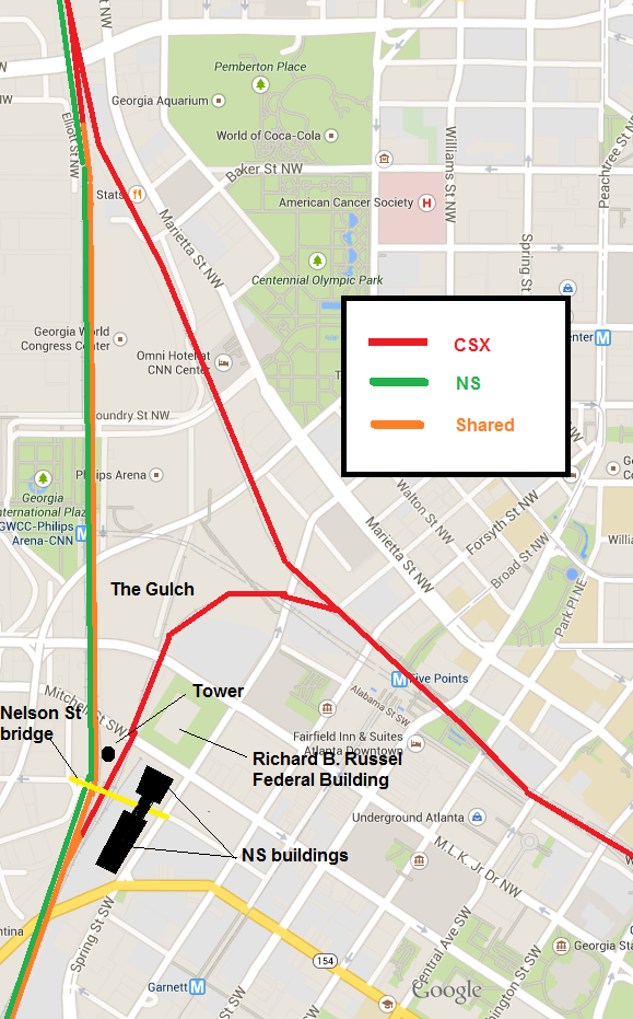
Both NS and CSX trains pass by here. This location is marked as “Spring” in both the NS and CSX employee timetables. Atlanta is too complex to have a single bottleneck point for all trains, but this spot sees a lot of them. Here is a sloppily annotated and somewhat inaccurate map that I made showing the major rail lines in the immediate vicinity:
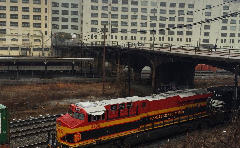
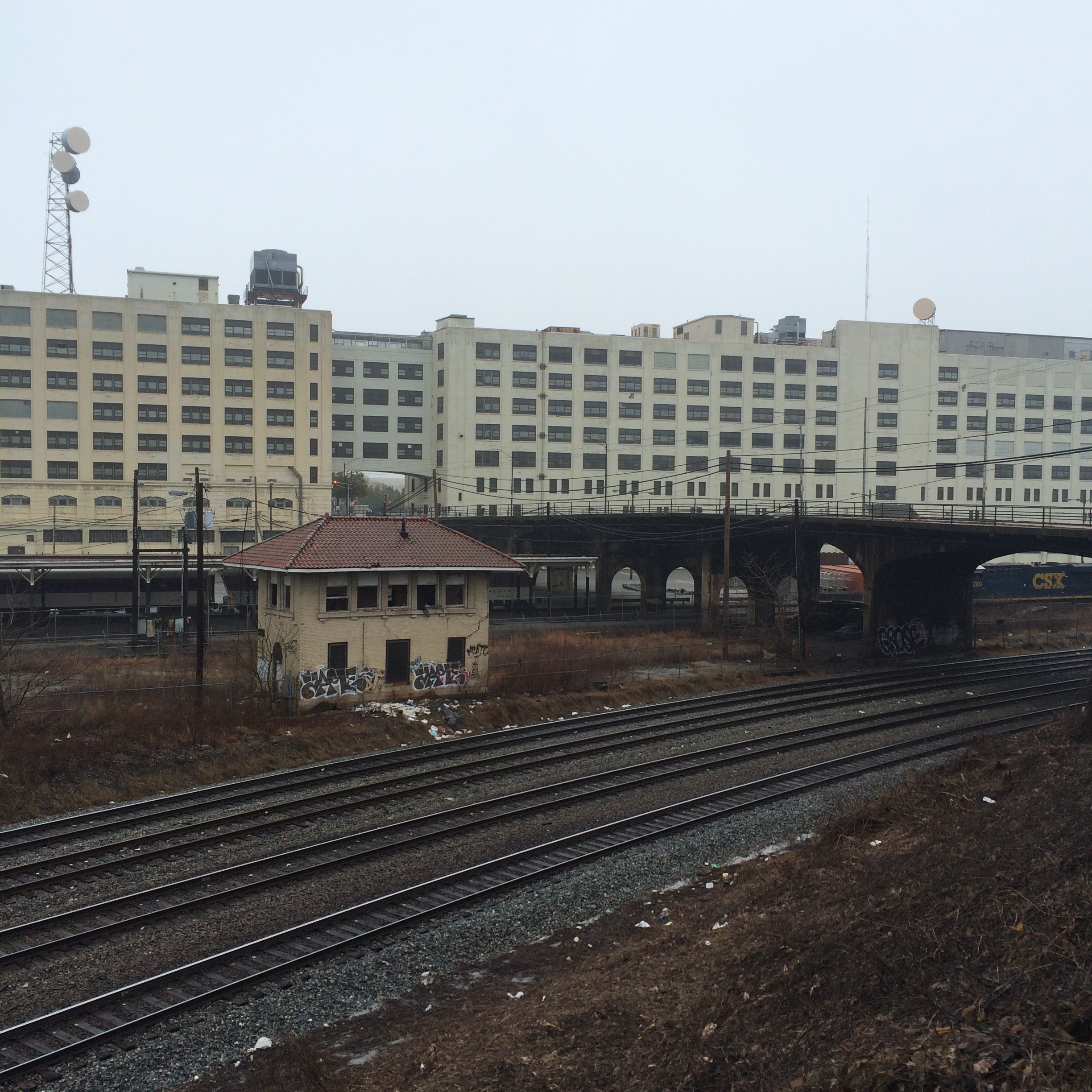
The first photo here is a view of the “back” of the building from across the railroad tracks. The bridge shown is the pedestrian Nelson Street.
The area between is the southernmost extremity of Atlanta’s infamous Railroad Gulch. The portion shown here may be the only part of the gulch that is not paved, the rest being mostly parking lots. (There will be a post in the near future focusing on the gulch and Underground Atlanta area from a rail perspective)
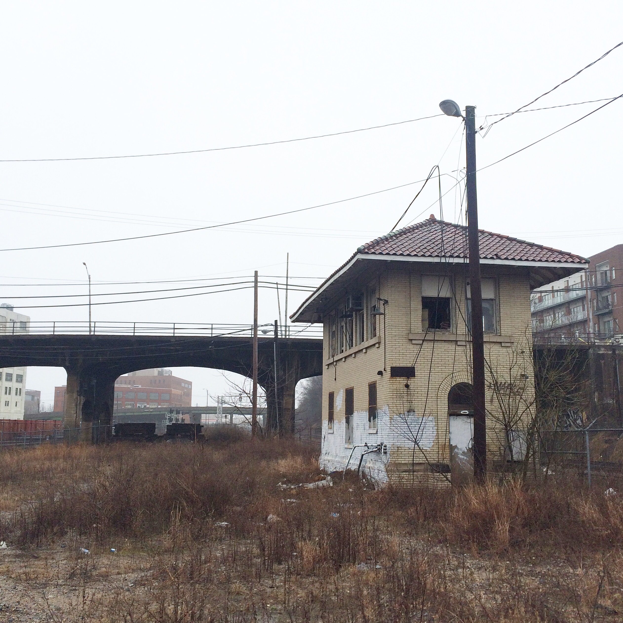
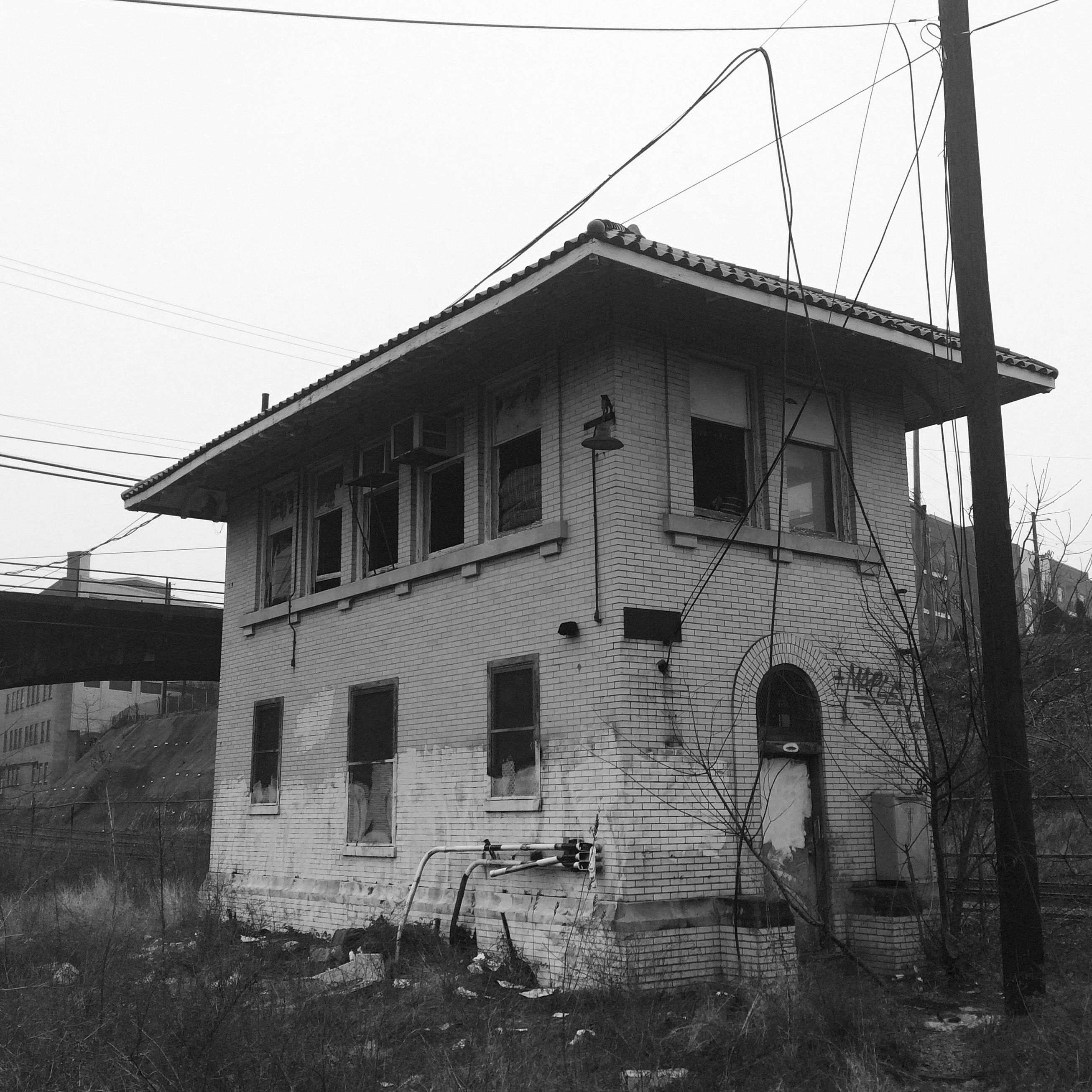
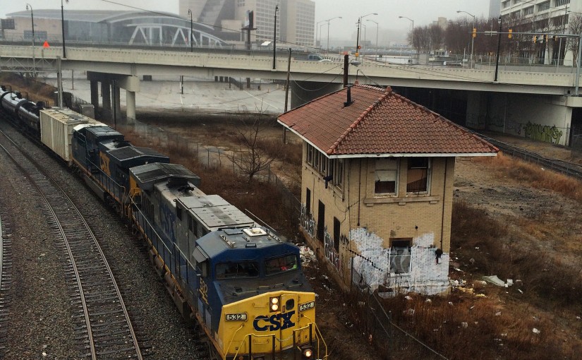
The small building down in the gulch next to the tracks is the Spring Interlocking Tower. This is one of very few remaining such towers anywhere, and almost certainly the only one in the metro area.
I think the two tracks nearest the camera here are Norfolk Southern and two beyond are used by both NS and CSX (I believe owned by NS).
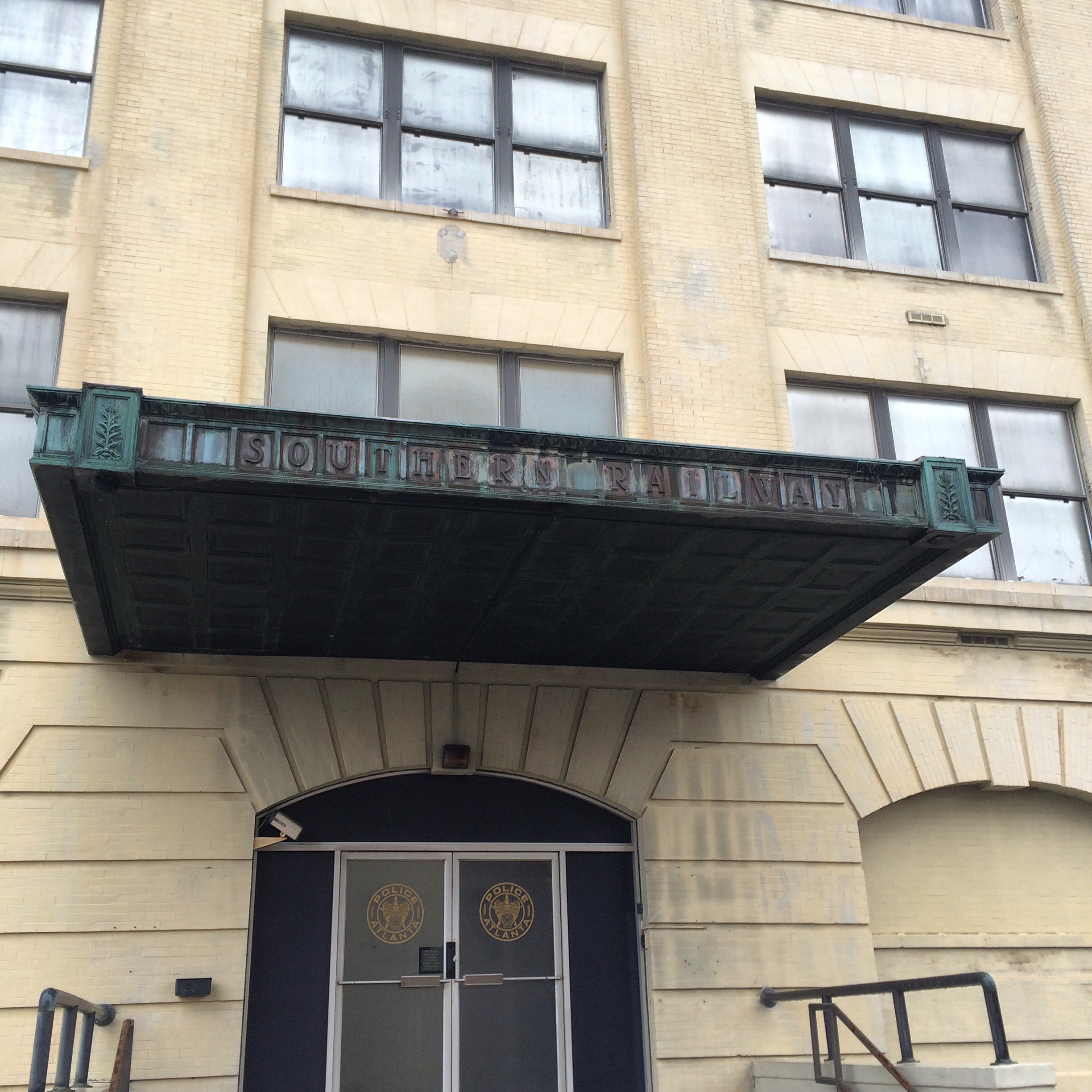
This is the front entrance to 125 Spring Street, showing both the “Southern Railway” name and the aforementioned “Atlanta Police”.
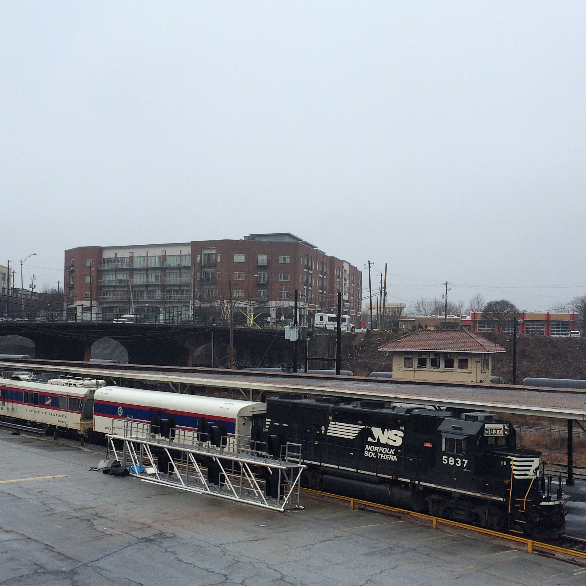
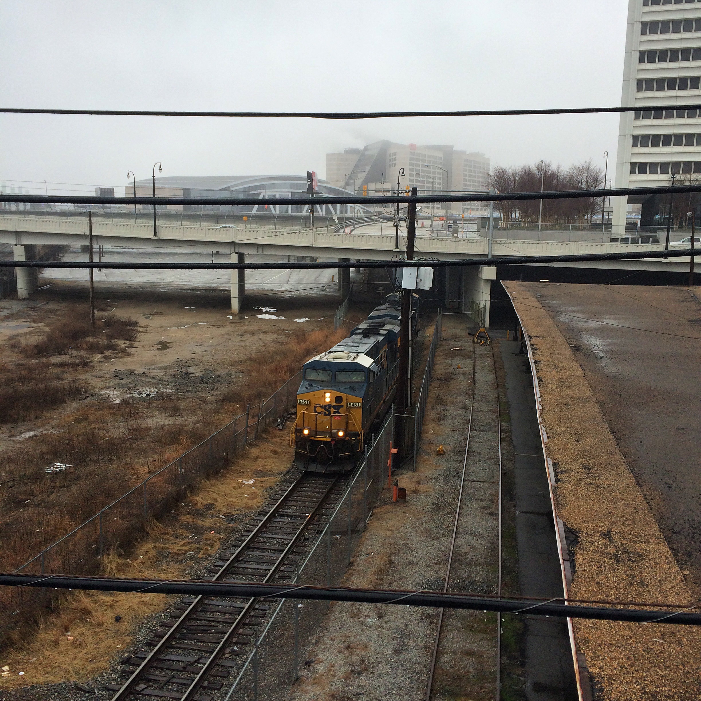
This is taken from the Mitchell Street bridge which runs just north of the complex, which unlike Nelson is open to vehicular traffic. This train was idling here the entire time I was there. The cars are from the Federal Railway Agency.
The structure behind the train that looks like a passenger platform is exactly that, a reminder of the long-demolished Terminal Station. Here, not the current Amtrak station on Peachtree, is where Southern operated its intercity passenger trains.
This was a CSX power move of two locos that came down from the direction of Hulsey Yard (the bridge it is emerging from under is Mitchell Street) and then sat idling the rest of the time I was there.
The tall white building on the right is the Richard B. Russell Federal Building. In the parking deck under it there are spaces marked “FBI Parking Only”, and a scary number of vehicles labelled with various other three-letter government agencies.
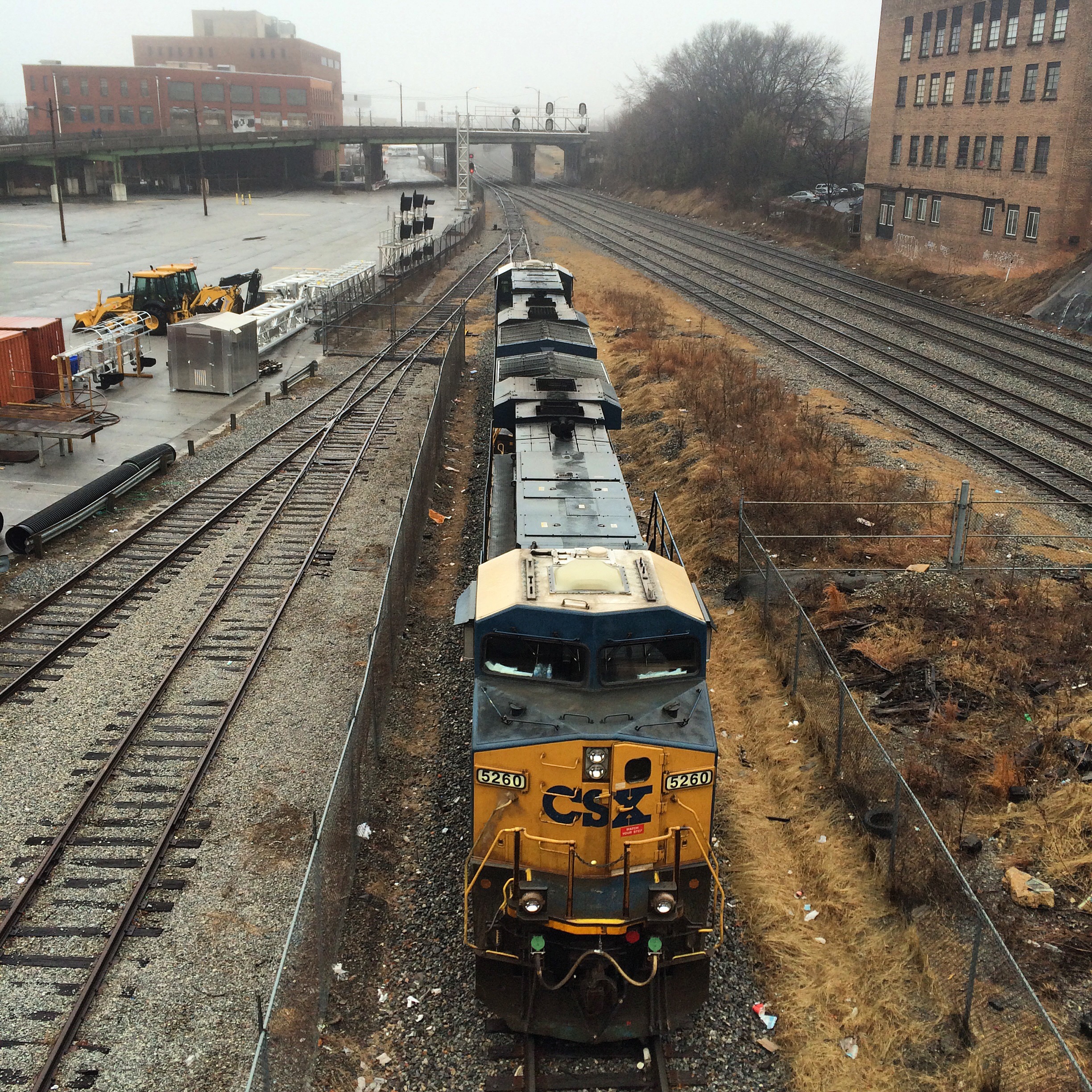
These photos show a soundbound CSX train as it passes under the Nelson Street bridge. The first is looking north, the second looking south. Note the two locos sitting to the right in the 2nd photo.
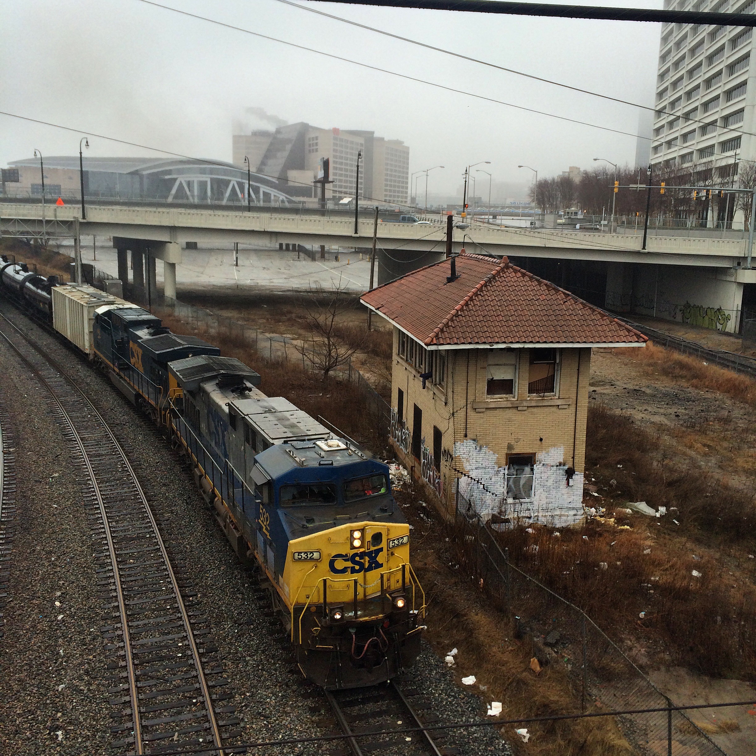
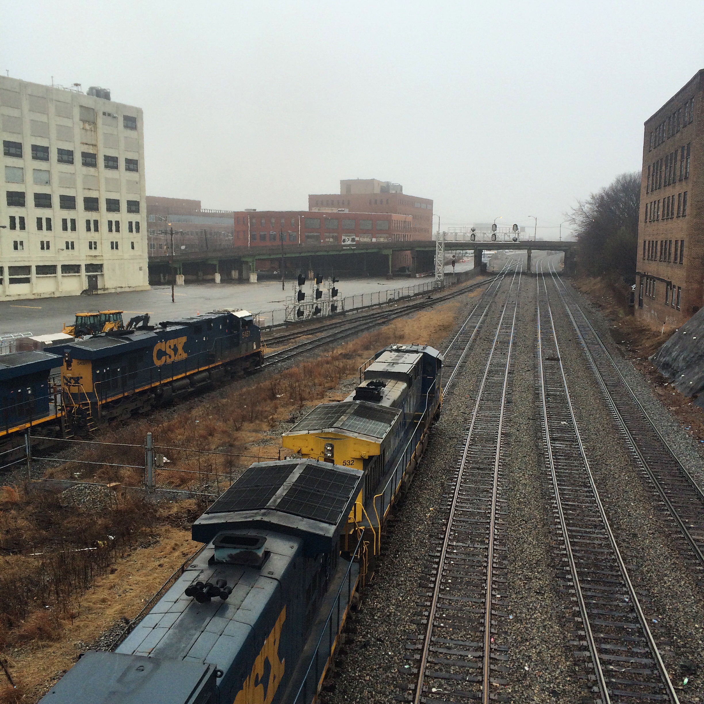
This is an NS train, seen from the other side of the gulch.
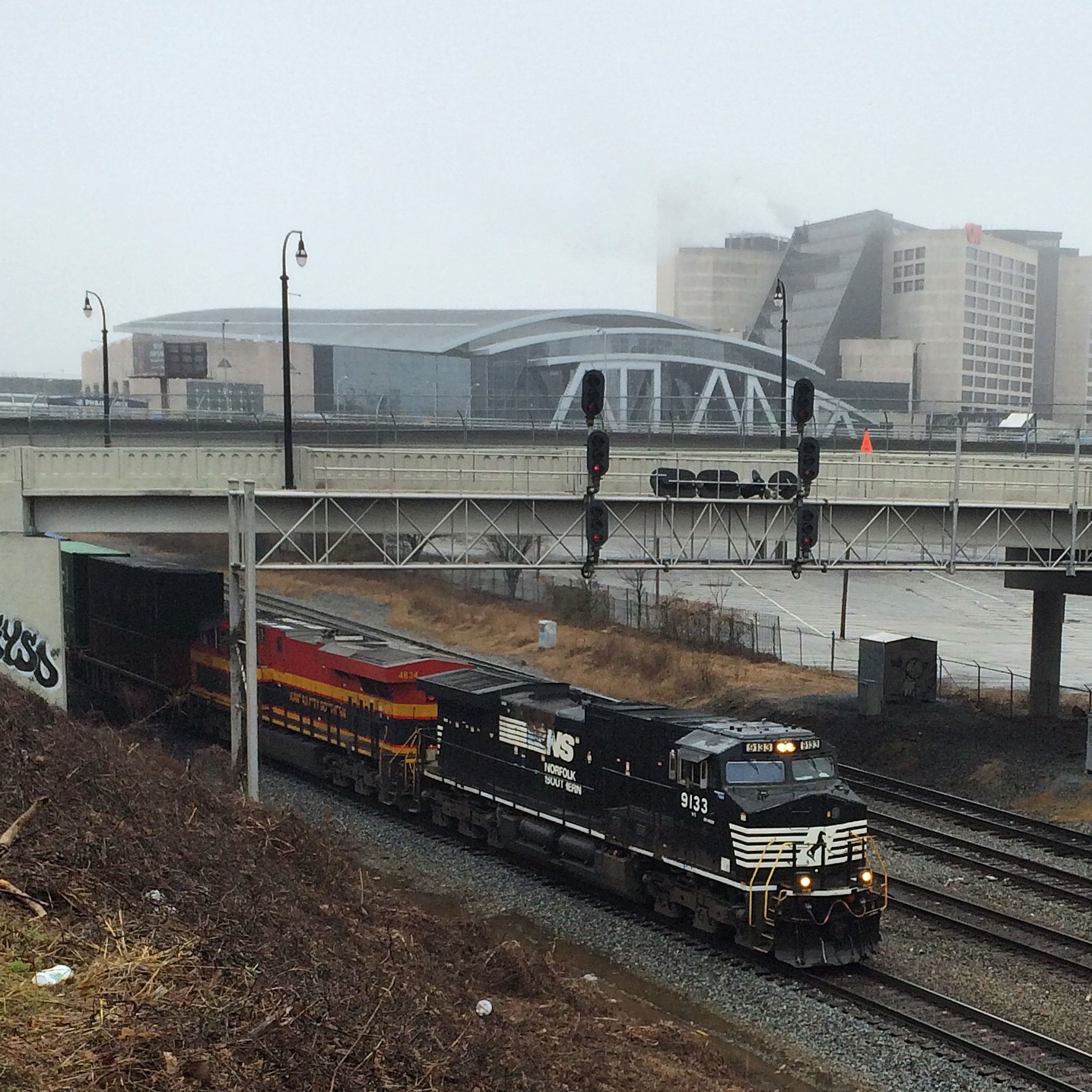
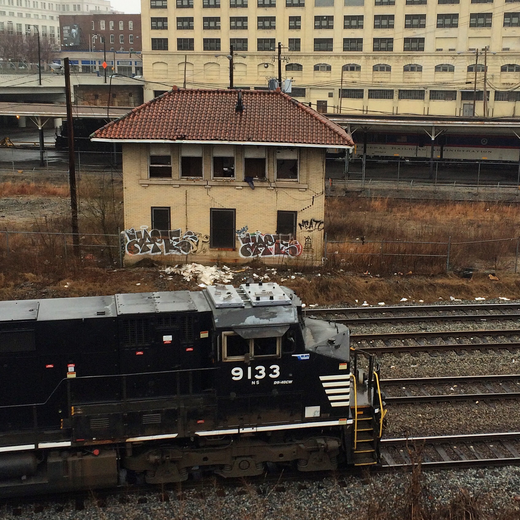
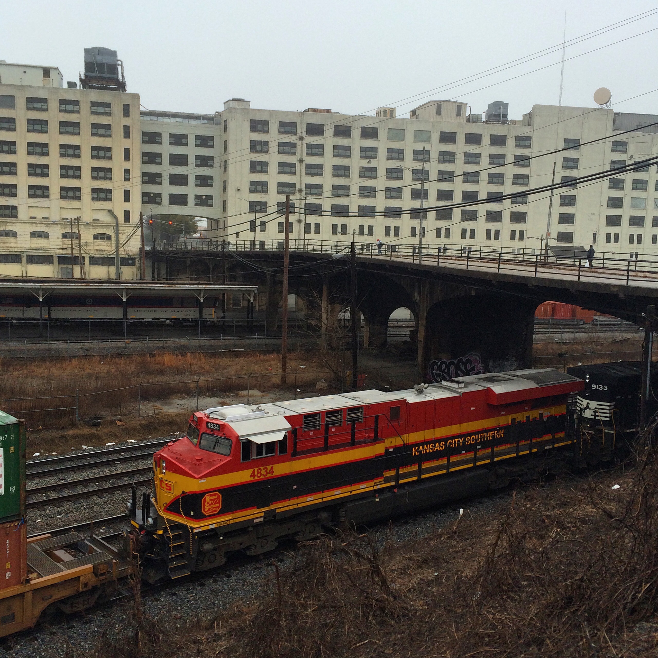
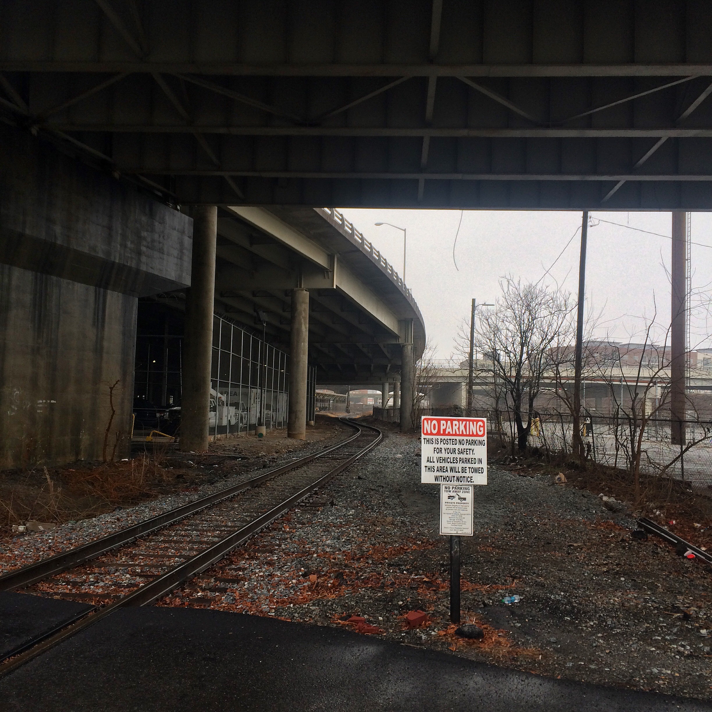
These next photos are taken down in the gulch. I was able to get down there by driving through the Phillips Arena parking lot. The first photo shows the crossing of a CSX line (the same line that the two locomotives were on) that is inside the parking area, which I found notable because of the lack of “railroad crossing” signs (even the normal “private railroad crossing” usually seen). The other two are of the tower.
