Atlanta Railfan Locations: Top o’ the Slide 

When I get to the bottom I go back to the top of the slide
Where I stop and I turn and I go for a ride

Till I get to the bottom and I see you again

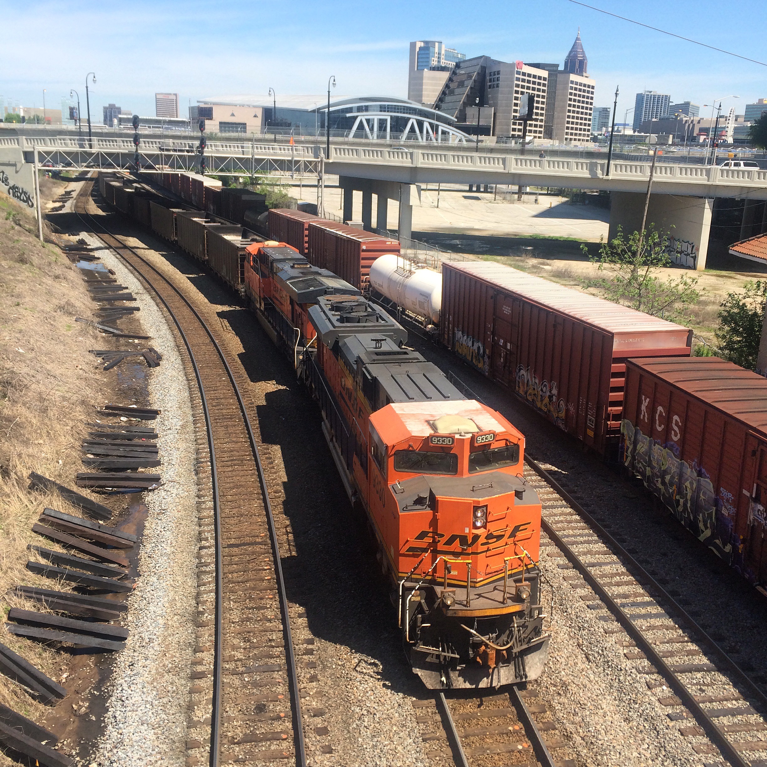
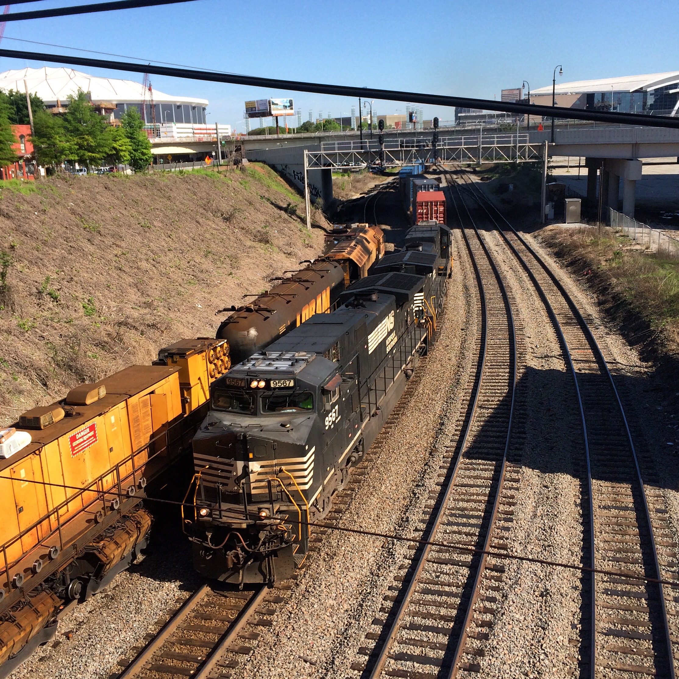
The “top of the slide” is the CSX timetable name for the signal and control point at the south-eastern end of Tilford Yard. It is shortly west of “Howell Tower”. (Scare quotes because there is no actual tower there..)

I am not certain if “slide” refers to the Tilford Yard hump itself or to the corkscrew-ish loop that connects the main with the line that tunnels under it.

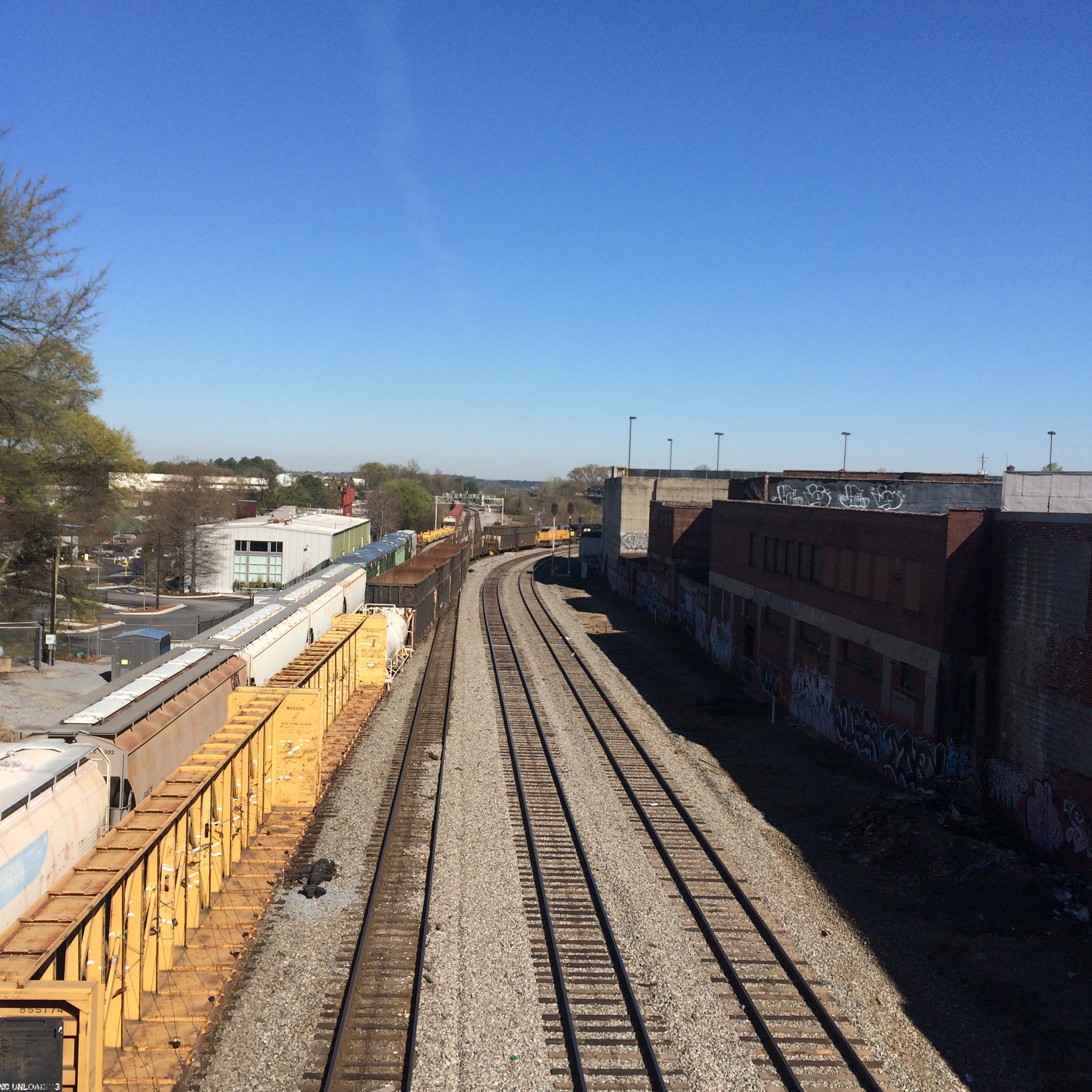
This location is clearly visible from the Marietta Boulevard bridge. NOTE: Marietta Boulvard is a separate from (but related to)  Marietta Road and Marieeta Street. Be aware this is a very busy bridge, and getting from one side of it to the other will put your jaywalking skills to a Frogger worthy test.

Your best bet for parking is probably on Huff Road. You might also find some on Marietta Street. There is no parking on the Marietta Blvd bridge itself.

The bridge also crosses the south-eastern extremity of NS Inman Yard. This is the northernmost bridge that crosses both railroads in a single span. 

You don’t see most of either yard from this bridge, especially not Tilford, so it should mainly be considered a location for seeing through trains as opposed to yard operations.

It is probably the best place from which to observe CSX trains going from Tilford to the Abbeville Sub and vice versa.

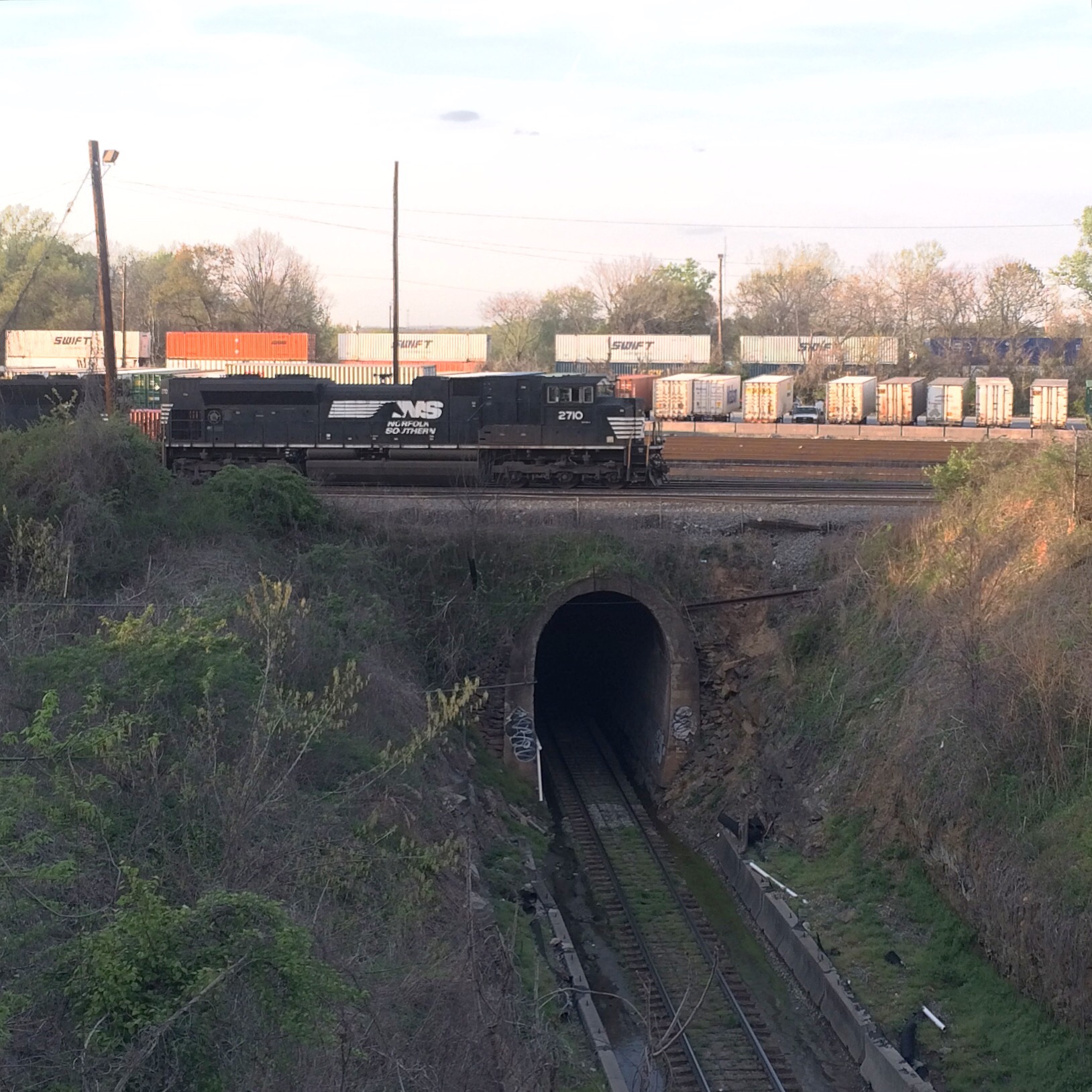
You will also be able to see, somewhat in the distance, trains coming into Tilford off the Manchester line. These trains tunnel under both NS and CSX.

The NS control points you can see from up on the bridge are Rockdale to the west and Howell Wye to the east. Rockdale is pretty much located on top of the tunnel.

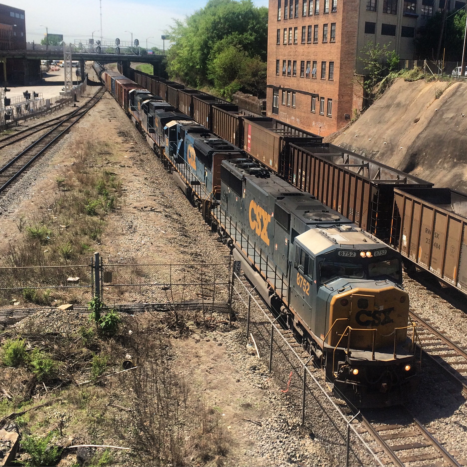
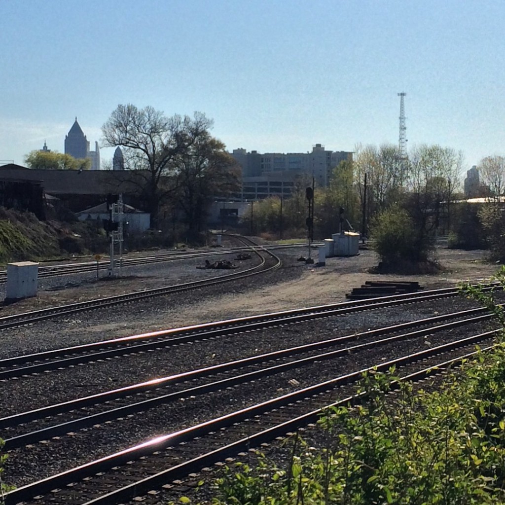
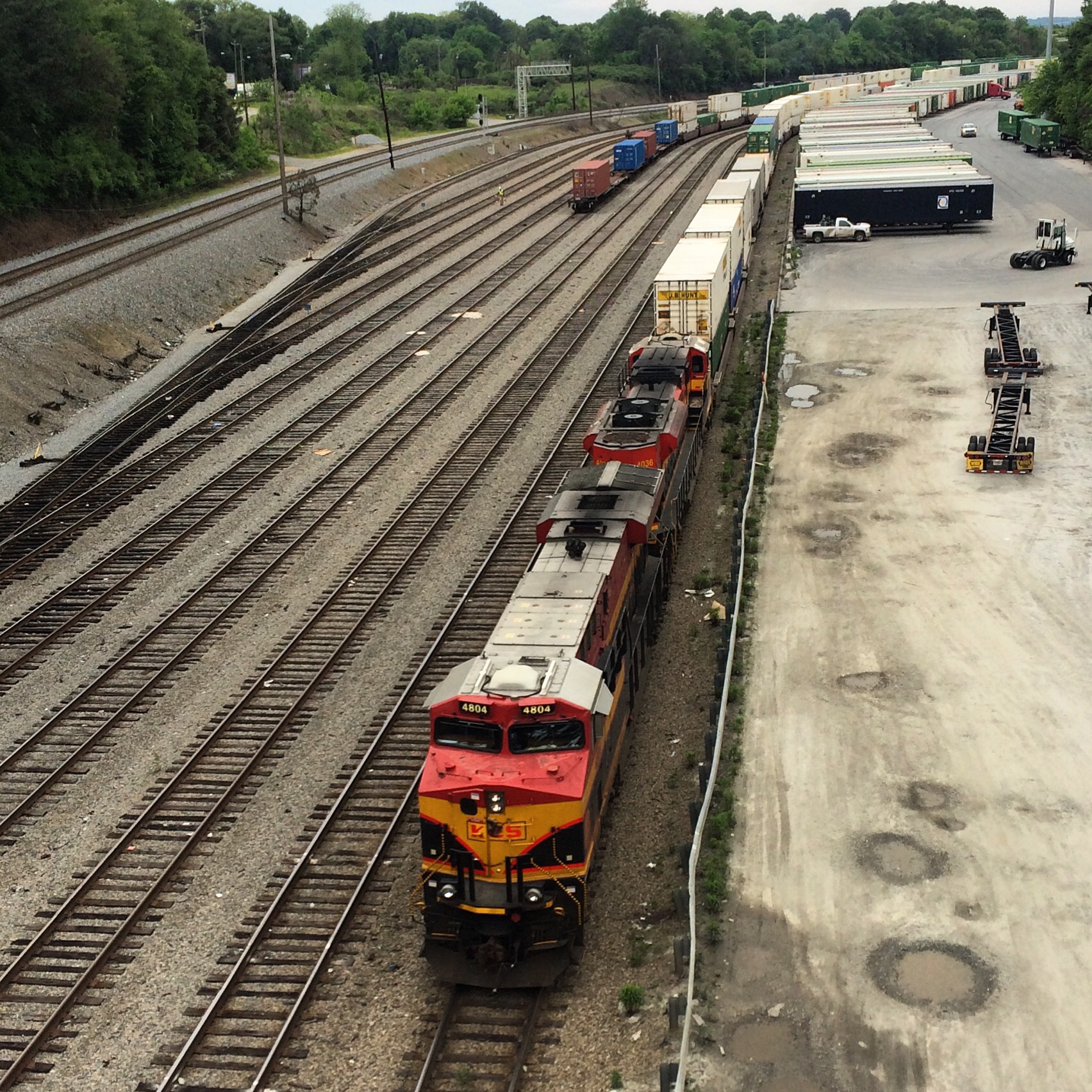
CSX looking at the “top of the slide” signal:
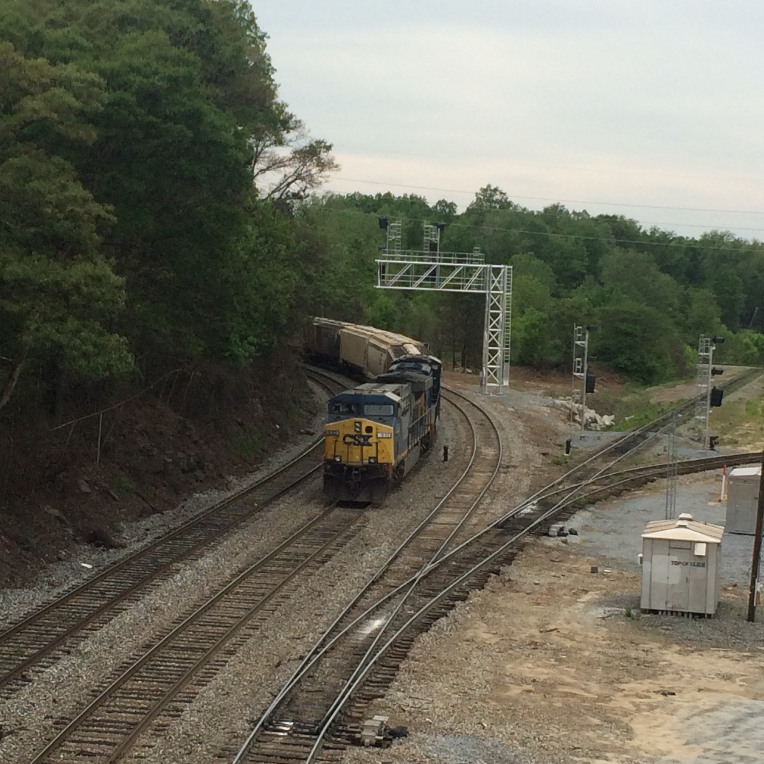


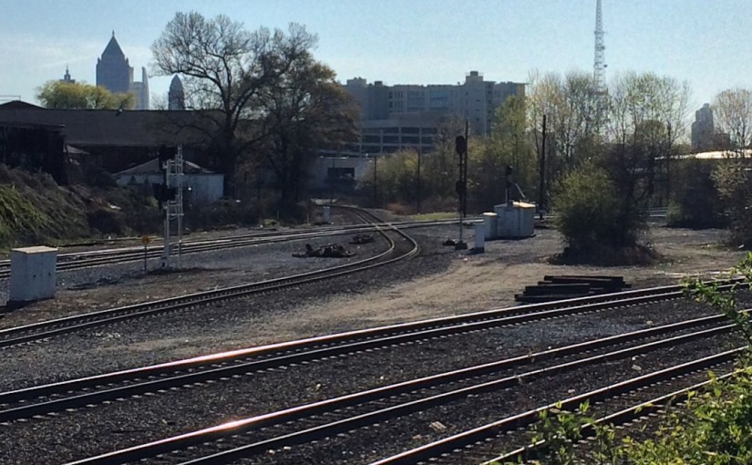
CSX looking towards Howell Tower:
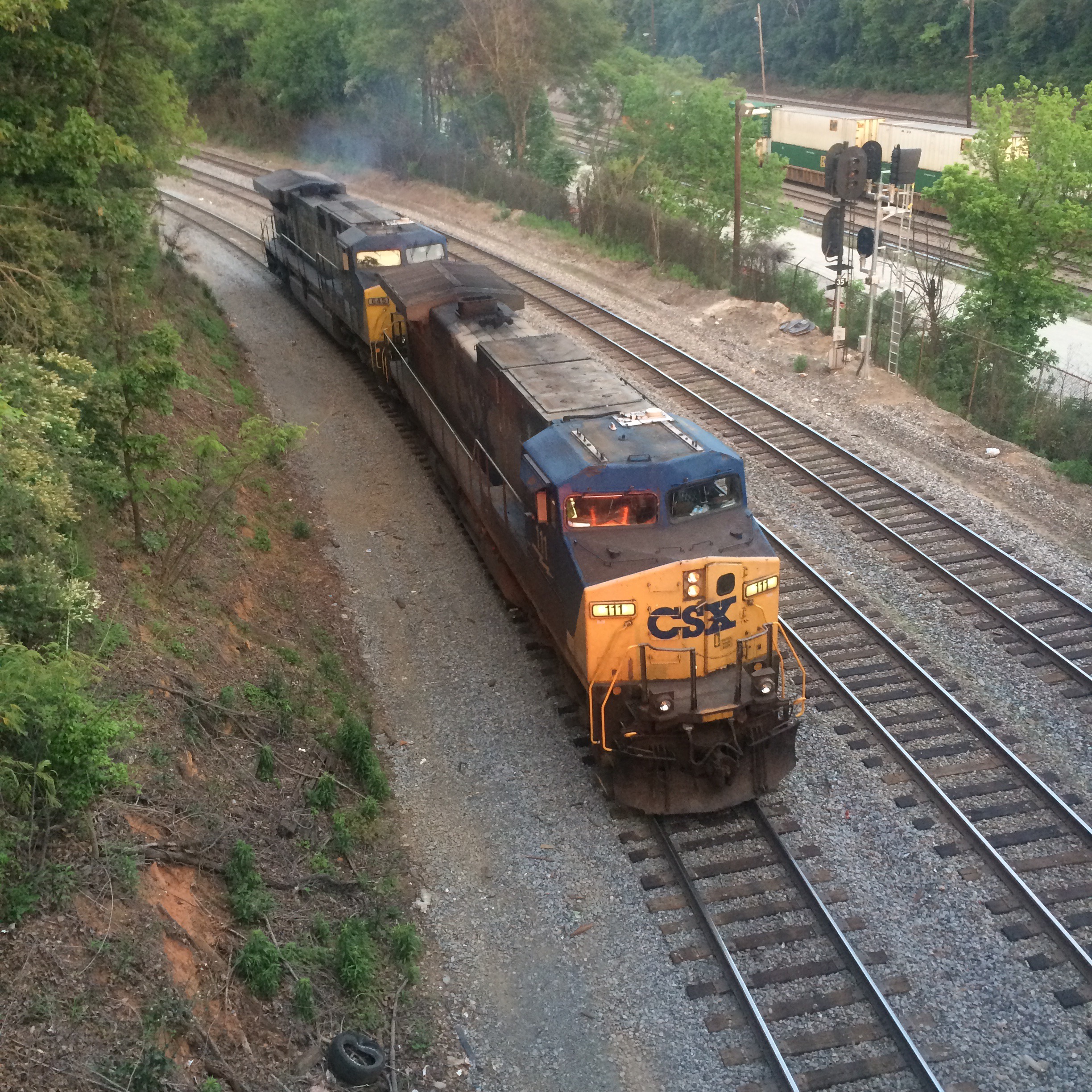


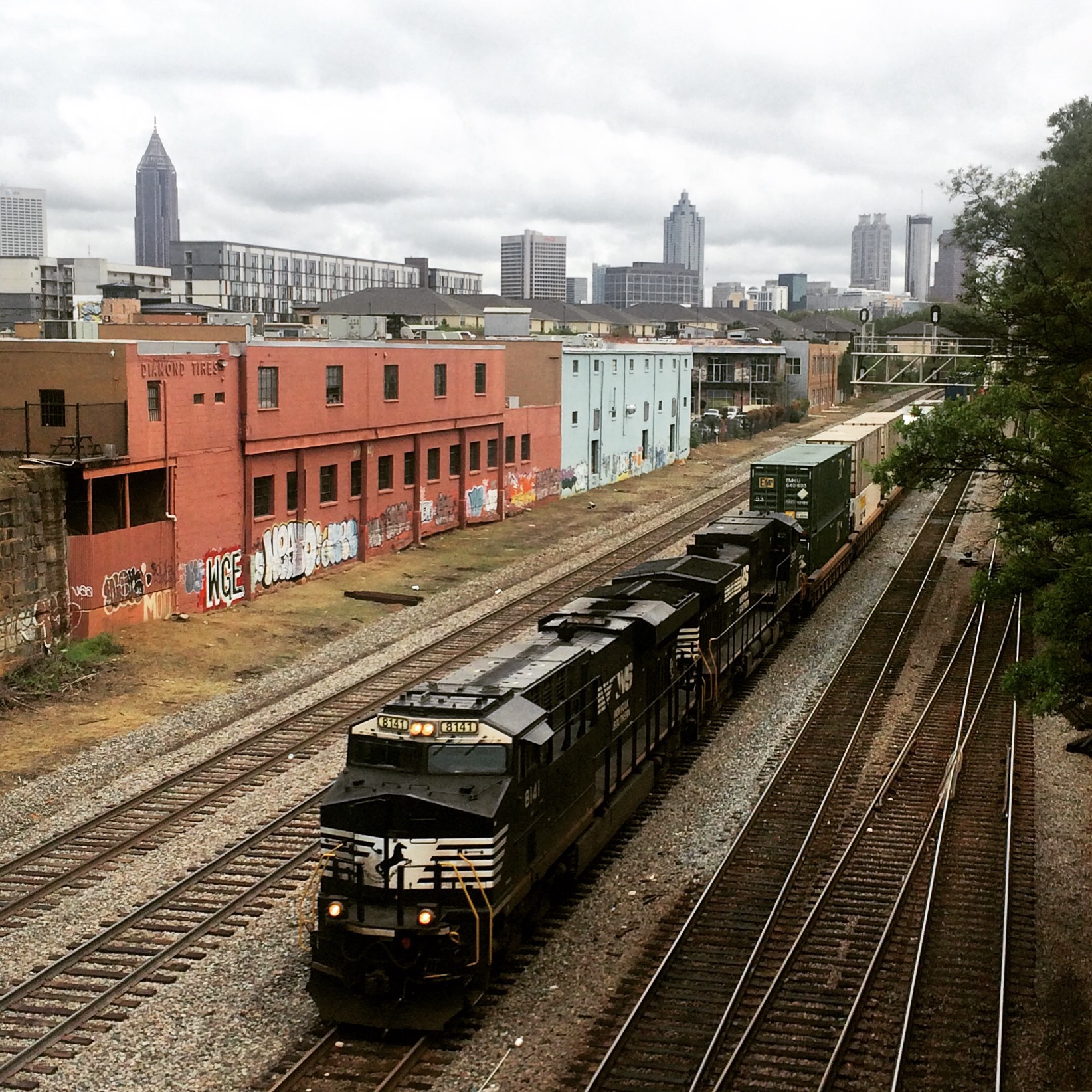
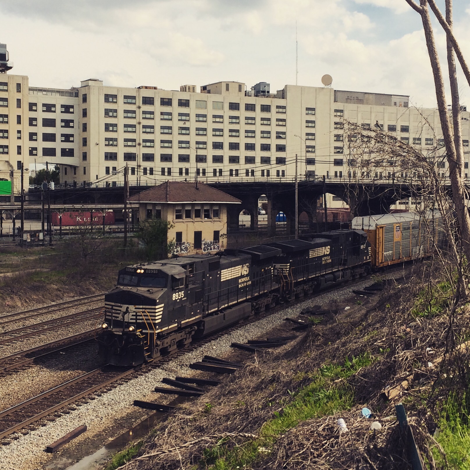
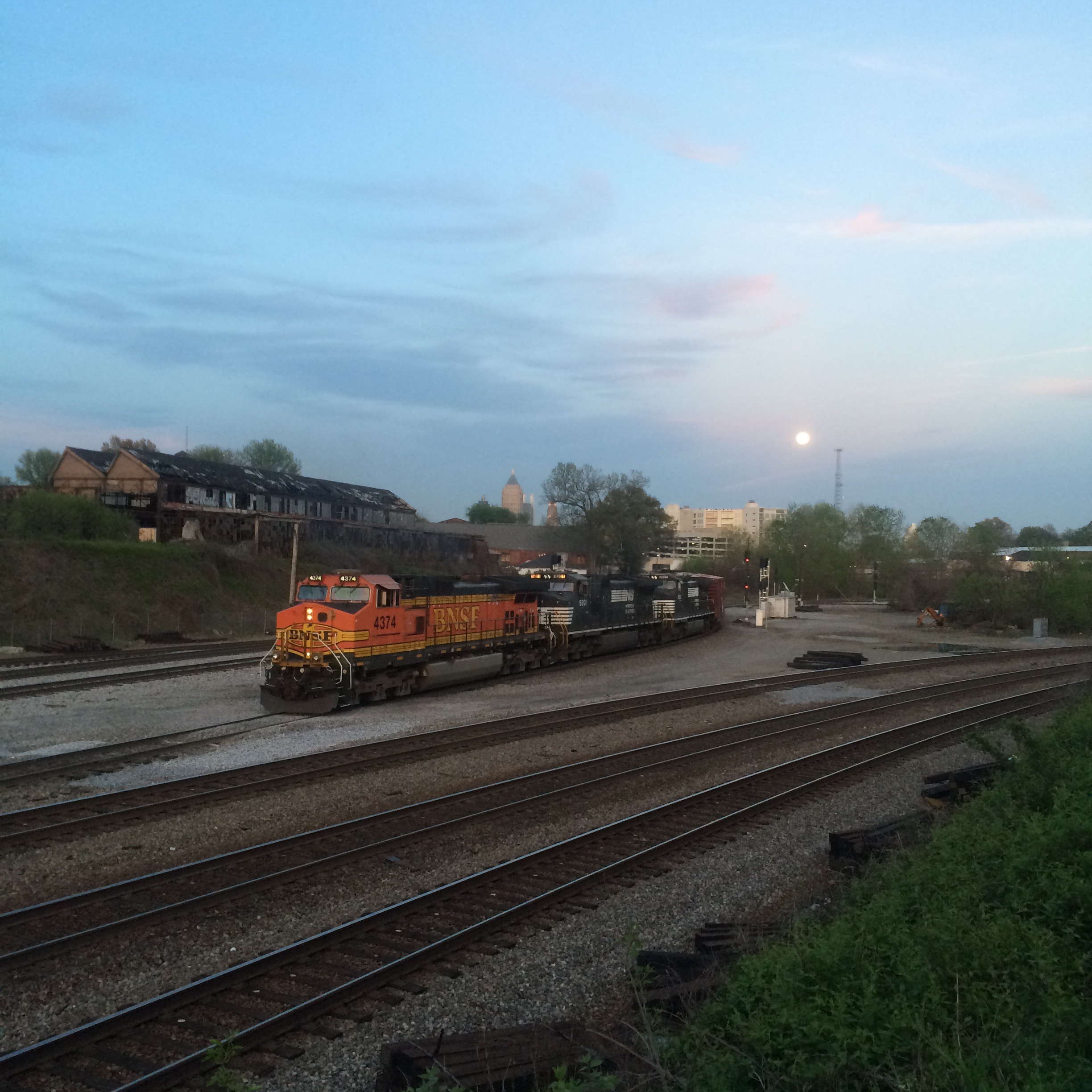
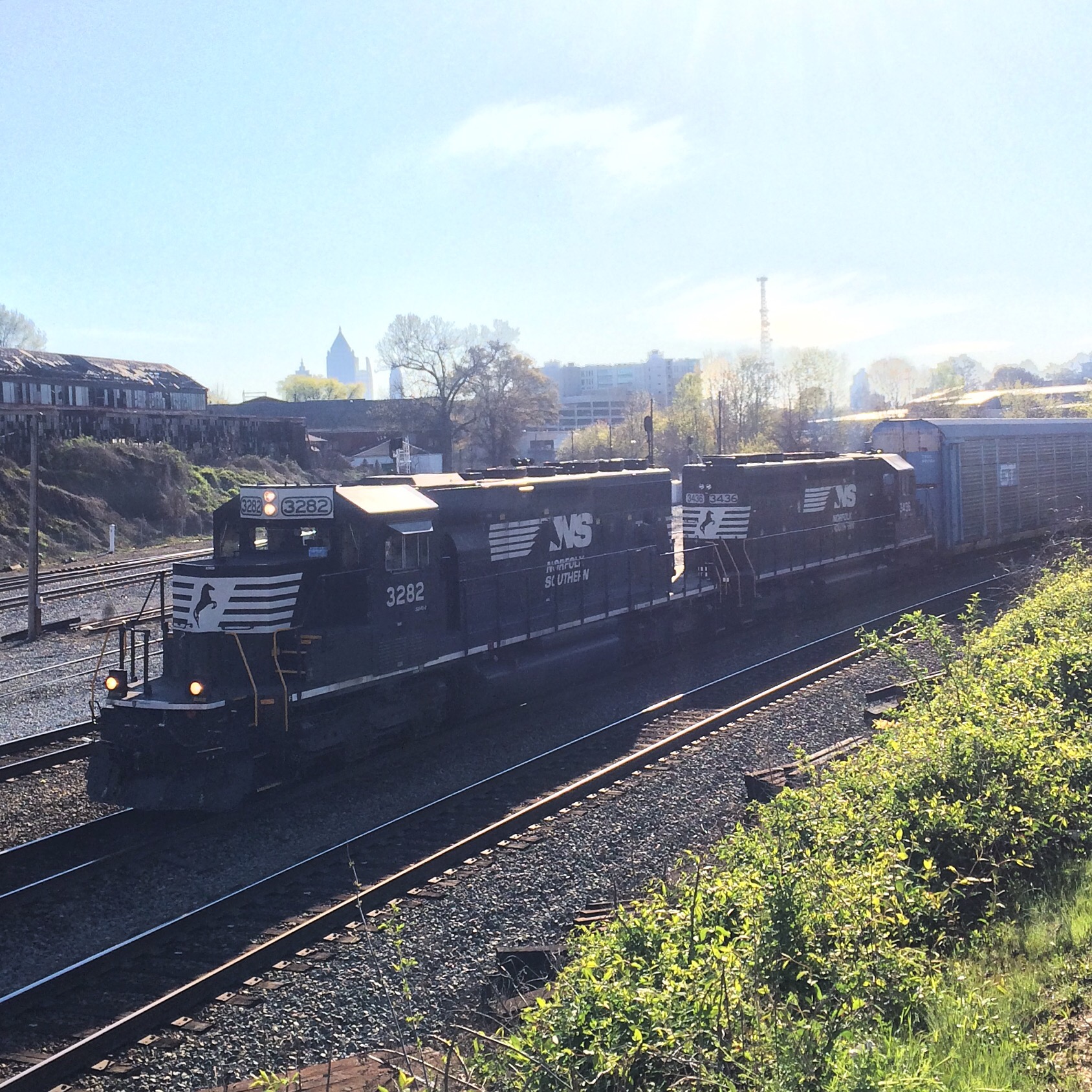
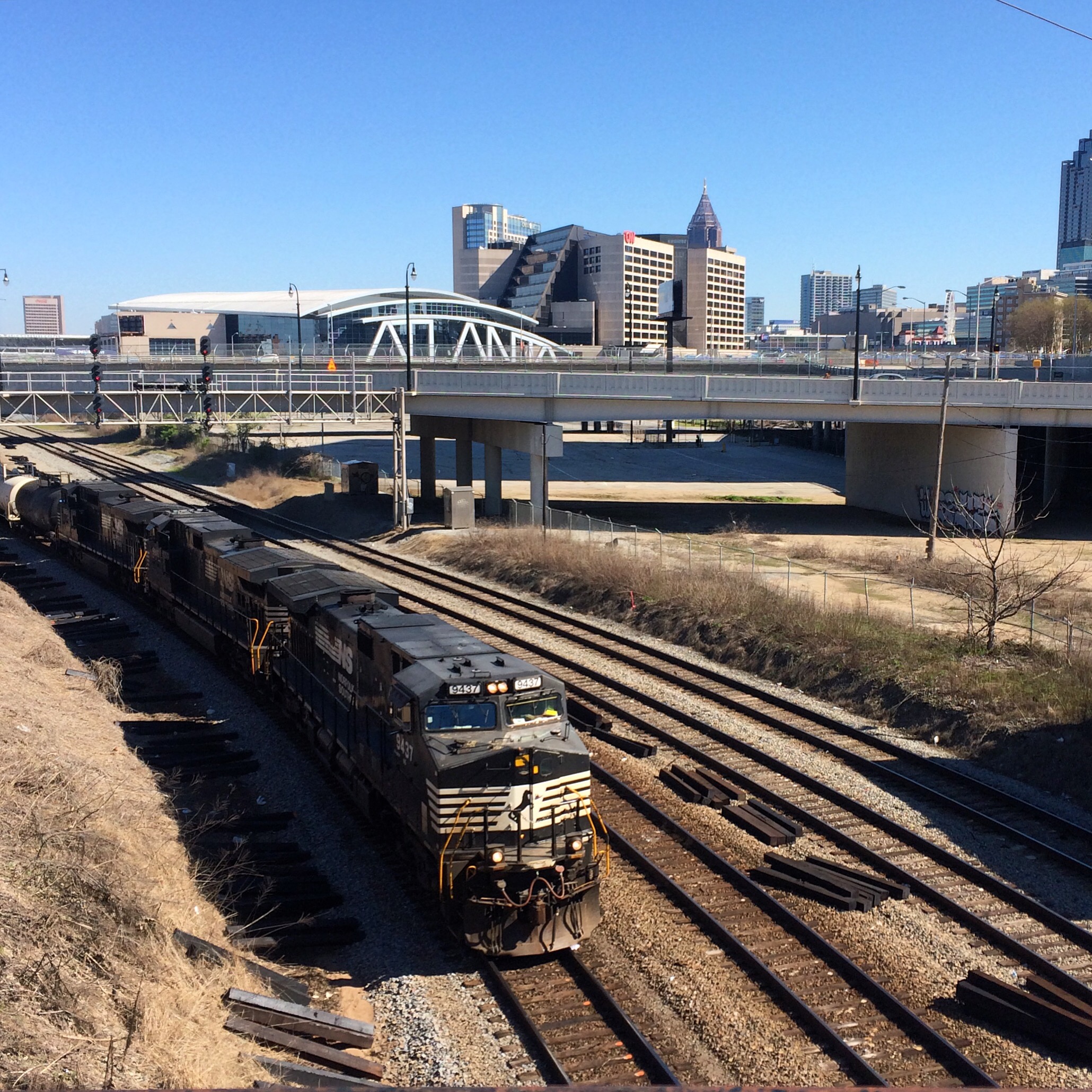
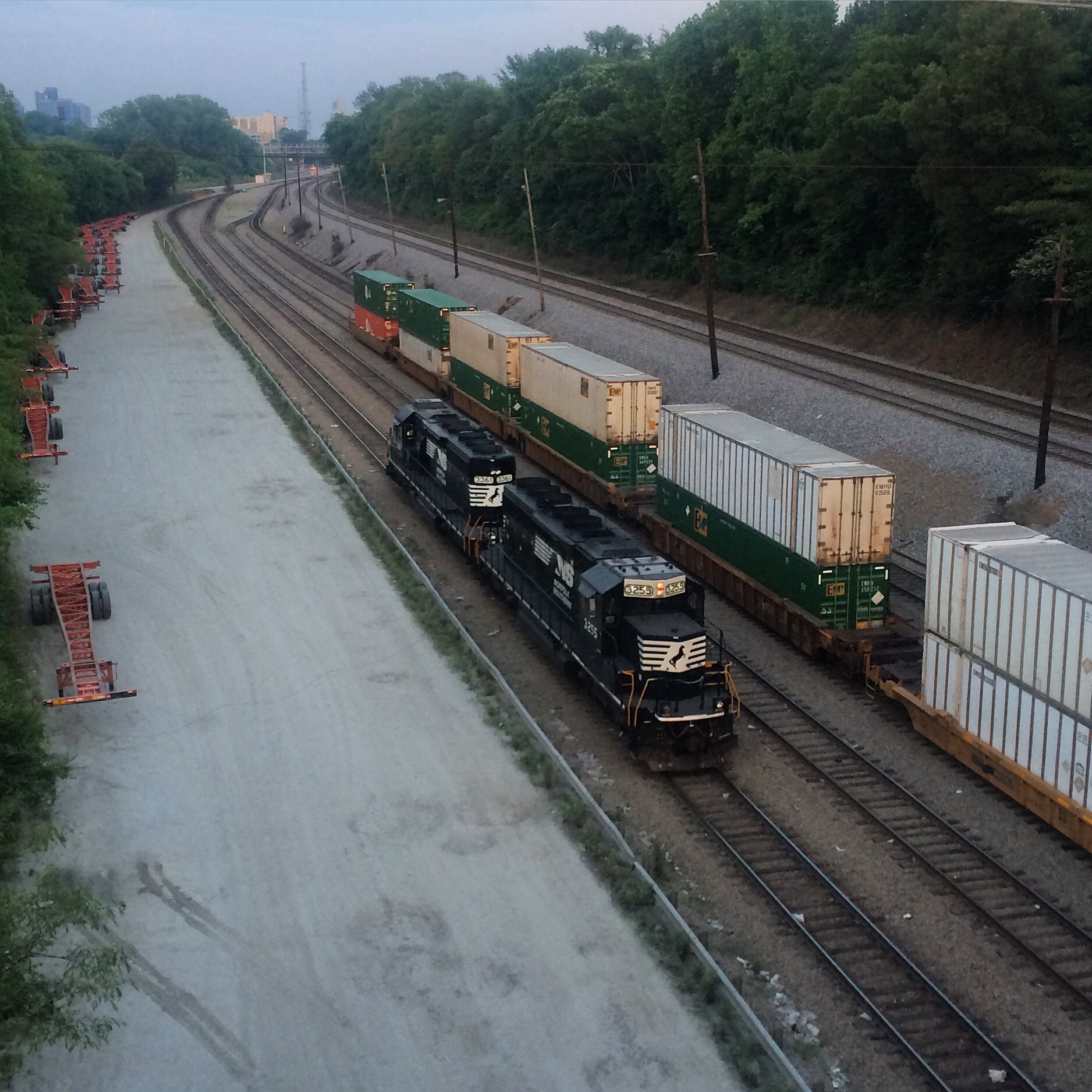
NS looking towards Inman Yard and the Rockdale signal. The train in the first photo is on the main line, the train in the second is on yard tracks.
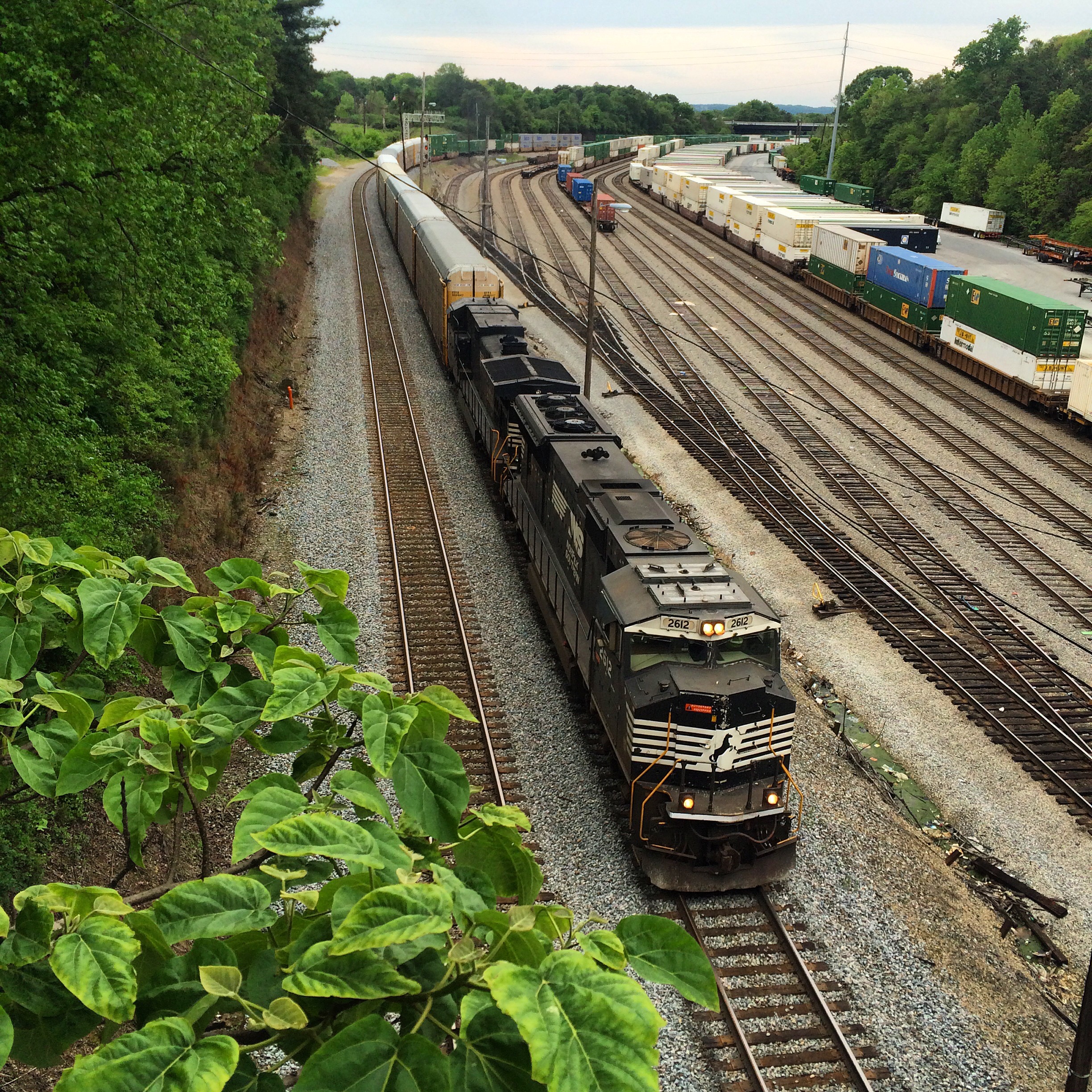


NS looking toward Howell Wye:


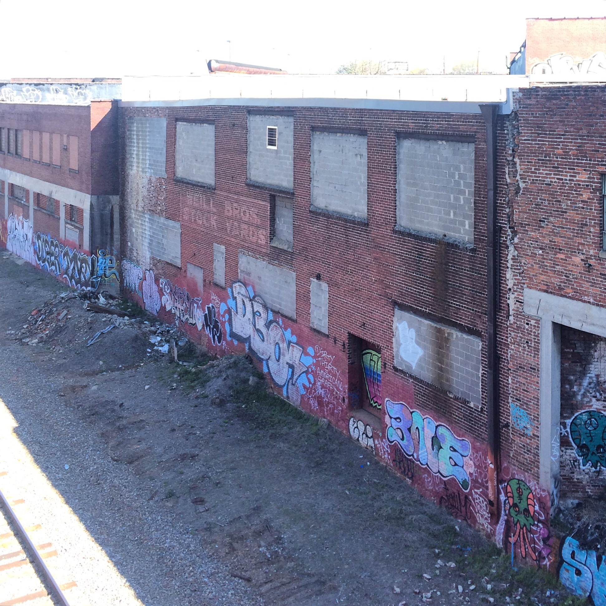
A side view showing the CSX tunnel under the NS. This is taken from Marietta Road:


Atlanta Railfan Locations: Spring, South

This is very close to the first location discussed in this series of posts, and could be considered more or less the same location on the railroad.

South of the Peters Street overpass, the tracks exit the Gulch and emerge into the south side of Atlanta as a street-level line with occasional grade crossings (there are very few public grade crossings north of the gulch and inside 285).

The Railside Dog Park is a convenient location to access the tracks at this point. Located almost in the shadow of the Peters St. bridge (on sunny days you will wish it actually was in the shadow!) at the end of dead-end Castleberry St.  Outside of the dog fence you can walk up and down the tracks for some length.

(This dog park is unrelated to the CSX timetable station known as “Doghouse”. That refers to a Purina dog food factory)

Located across the tracks is Gourmet Foods International. It’s not as nice as the dog park, being a gravel parking lot with frequent coming and going of semi trailers.

There is no fence for the tracks here, and neigbhorfood residents and assorted vagrants cross the tracks on foot very frequently. So if you decide to just cross the tracks to get a different angle instead of going all the way up over the bridge, it’s not like you’re remotely the first to do so. It’s still trespassing of course.

This is just north of where the NS ex-Southern main line goes under the line shared by NS (ex-Central of Georgia) and CSX (West Point Route) and diverges off. That means it is the southernmost place to see the trains from all three of those lines. The actual crossover is near McDaniel Street.

The Central is the original railroad here, being the Civil War era Macon and Western.

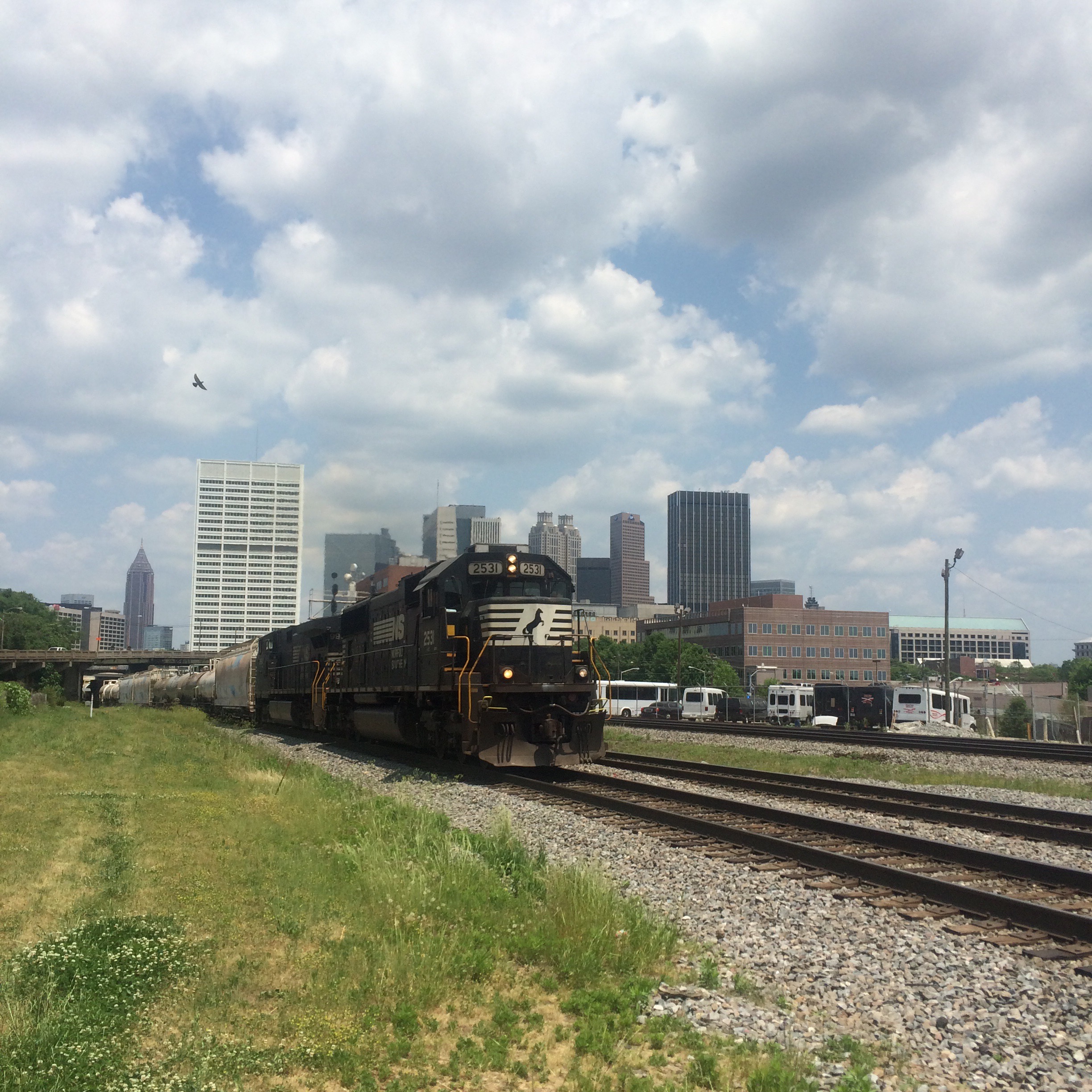
The view north (of southbound trains) has pretty much the whole Atlanta skyline behind it.

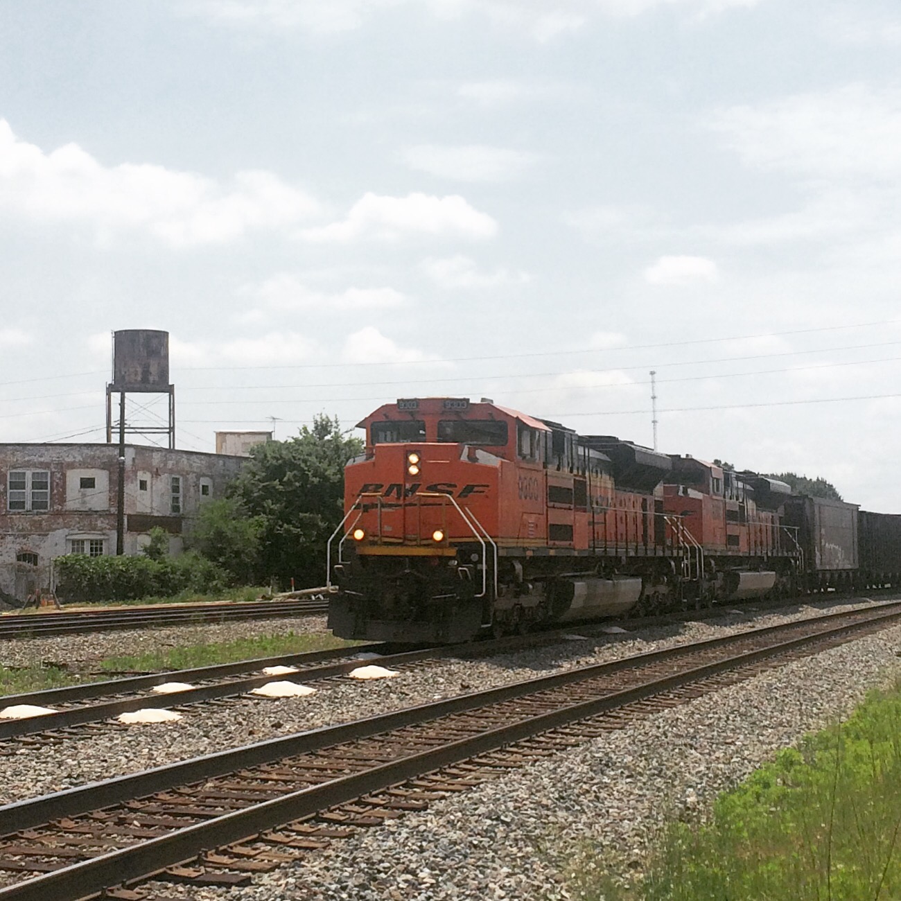
The view south is less impressive but at least there’s this cool old water tower (seen from the dog park side):

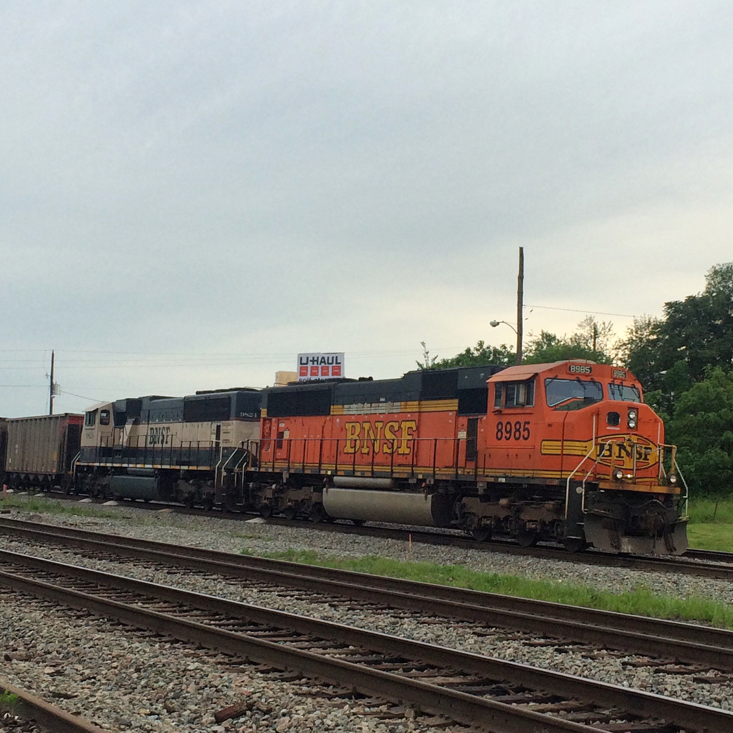
From the other side, we heard you liek U-haul..

In Defense of Urban Trainwatching

You may wonder why bother with going to the downtown and industrial areas of a major city, with the attendant parking problems, traffic, chance of getting in trouble  for trespassing, slummy neighborhoods, vagrants everywhere.. There’s plenty of other places to go railfanning.

Why? More. Trains.

When you can watch more than one main line, you see twice the trains. At least. And with a few small-town exceptions like Folkston, most of the places where major rail lines come together are in the cores of cities. Often these rail junctions are the cores of our cities.

So, yeah, it’s about volume, volume, volume.


Atlanta Railfan Locations: Spilling the Beans on Howell

I actually hesitated to get to specific about where I was sitting when watching trains here for a while, because I’m still not entirely sure if you are supposed to be there or not. Whatever. Only my friends read this blog (and probably not even most of them), and I’ve already admitted to creeping around on property that was closed off due to “terrorism” threats..

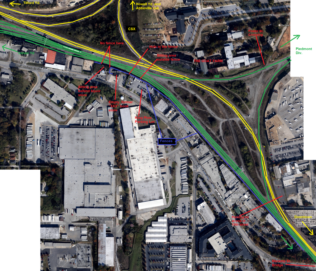
First, a map. To find this area on Google maps, use these directions. Click on this image here to expand this map.

Now, this map shows several ways you can observe trains in this area, which I will explain here in no particular order.

  • Marietta Street Bridge – you will need to park somewhere near the bridge, and walk to it. There are times when such parking will be difficult to find. It provides an overhead view of both railroads’ lines headed downtown.
  • Foster Street – the street crosses the NS tracks and ends. There’s not a clear indication of where the street technically ends and where the railroads’ access roads begin. The crossing of NS is marked with a crossbuck as seen on all public road crossings. I’m fairly certain once you get to the CSX tracks, it’s railroad property. The area in between, seems like it would have to be either NS or CSX property. I have sat parked here without being run off, but YMMV.
  • 10th Street – there is a parking lot at the end of the street that never has any vehicles parked in it. There are “no parking/tow away” signs, but it seems to be fine for sitting in or near the car and observing trains. You are right next to the CSX. I have no idea whose parking lot this is. There is a chainlink fence between the parking lot and the tracks, but the gate is normally open and used by the railroads.
  • King Plow Parking Lot – this provides a view of the area where the two railroads’ wyes are closest to each other. There is a guard tower in this lot and a sign saying it is for King Plow use only, but I have never been messed with while parking here and sitting in the car to watch trains. You will be watching trains through a fence though. From here you can see the NS basically right across the fence, and CSX a little ways beyond that.
  • Bim’s Liqour Store – they clearly understand that their customers want to sit out behind the store by the tracks, because there is a picnic table back there and everything.  So if you are not the kind of person who is bothered by the idea of hanging out at a liquor store, this is a good place to watch trains. Buy something from the store since you are on their property after all.
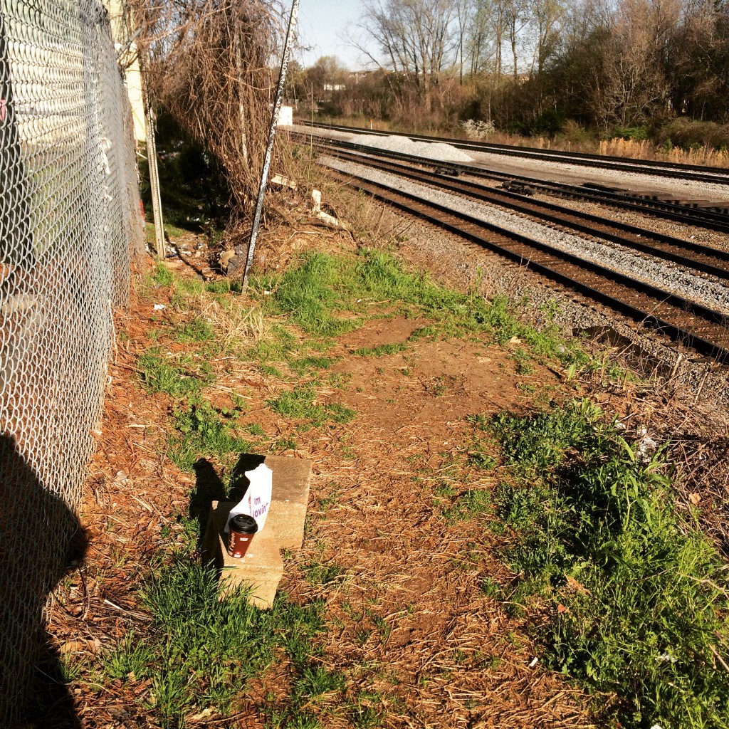
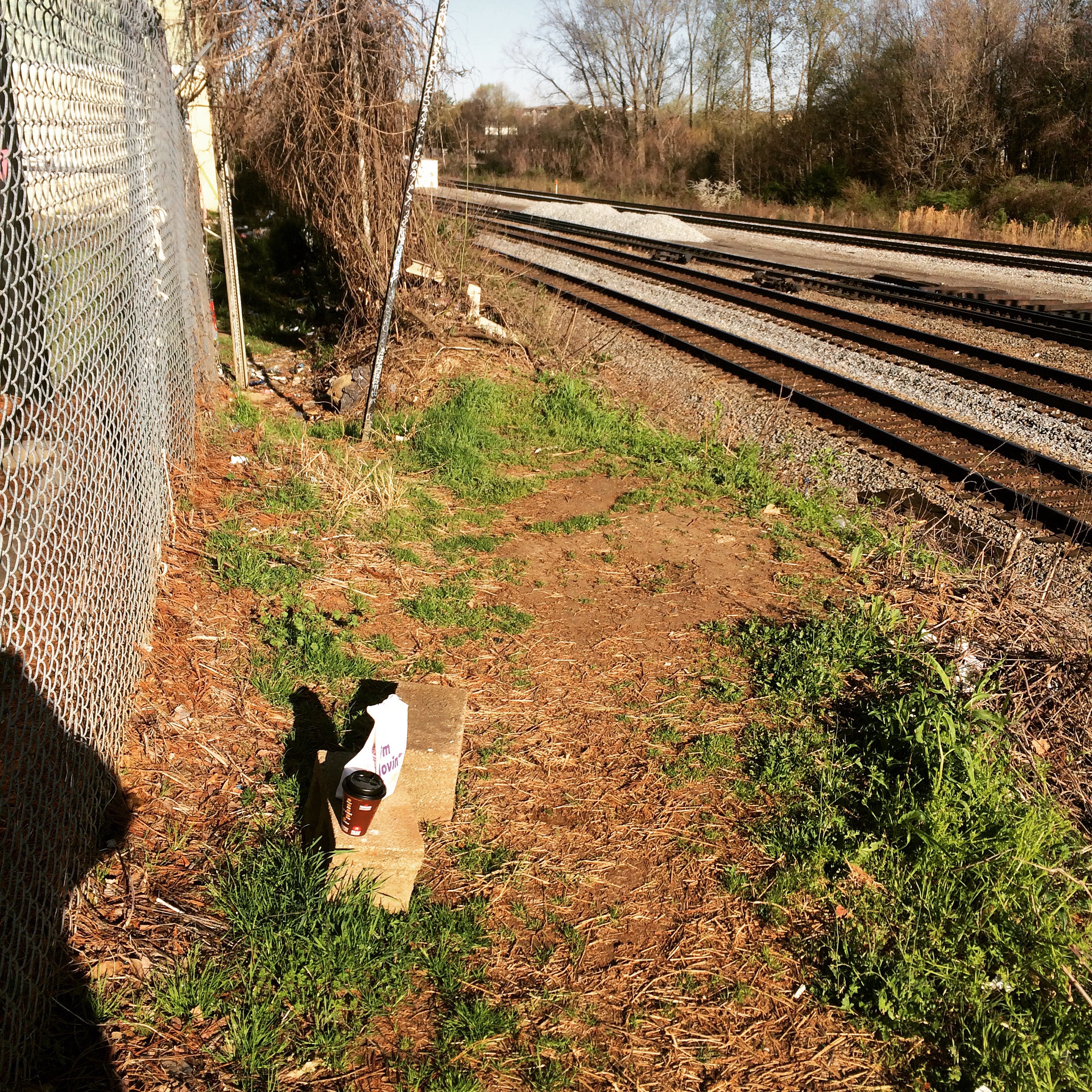
  • Ye Olde Hole in the Fence – this is “it”. This provides basically the same view as the King Plow Parking lot, only you are now on the track side of the fence. The legality of this is… uncertain, but railfans go back there all the time just judging by the amount of photos and videos you see taken from back there. To get here, walk to the northeast corner of the parking lot of the vacant building to the east of Bim’s, which I believe was once a porn shop. There is a break in the fence right at the corner, that you can go through and make your way along a dirt path worn between the tracks and the fence. There is no picnic table, but there are some cinder blocks that can be used for sitting. I suggest bringing your own portable chair.

Now, some photos.

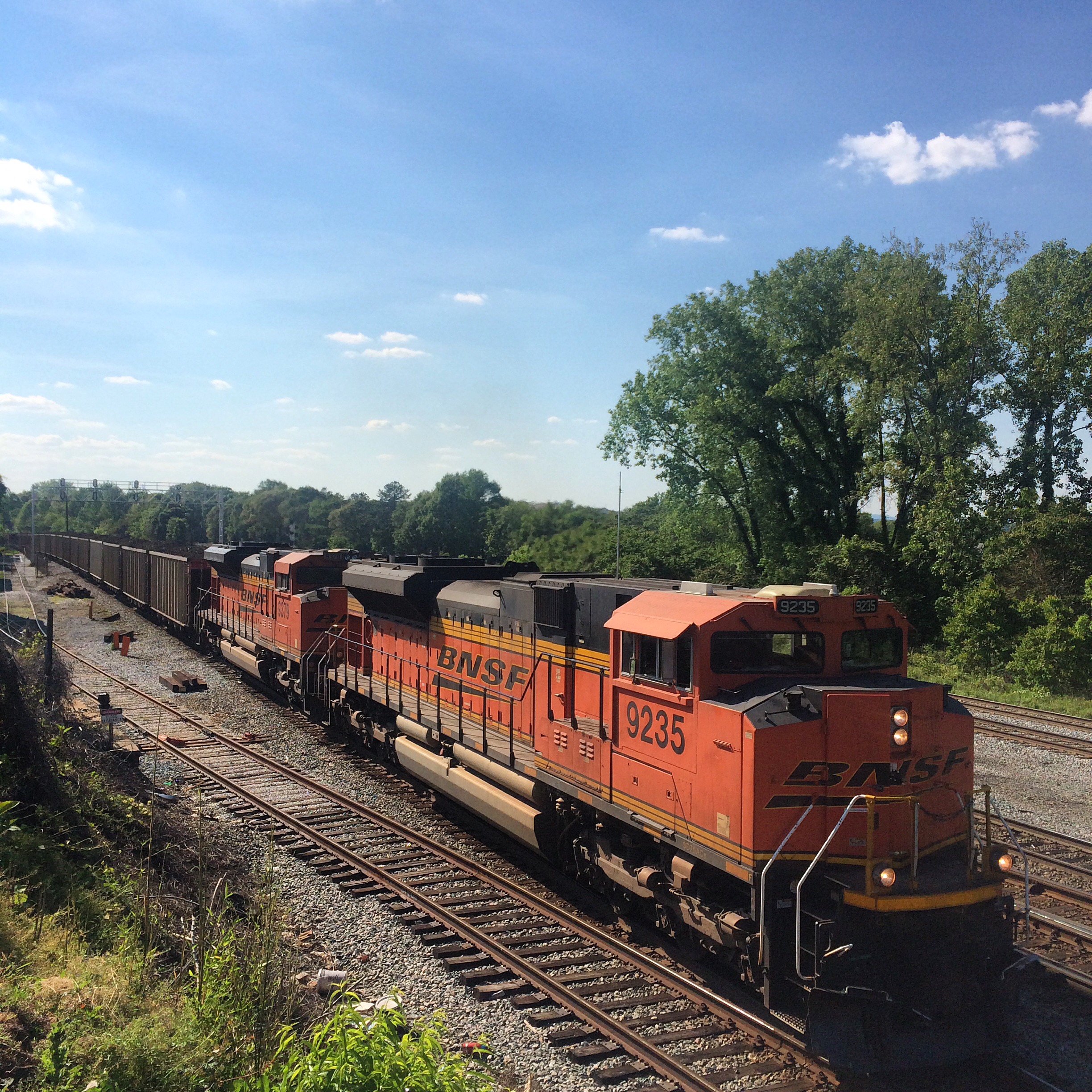
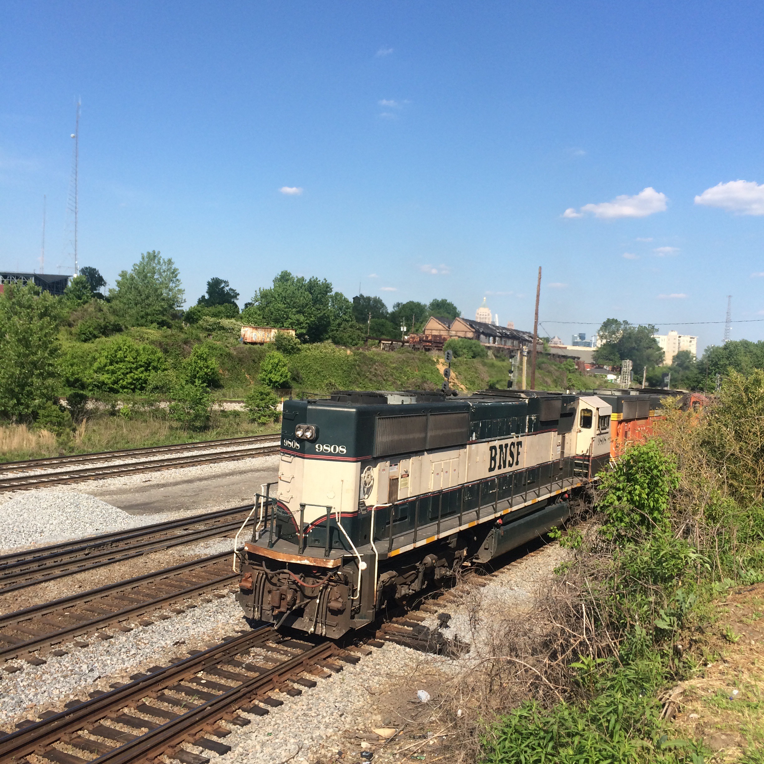
BNSF run-powered coal train on NS, I think train 734 or maybe 732, seen from the area behind the liquor store:

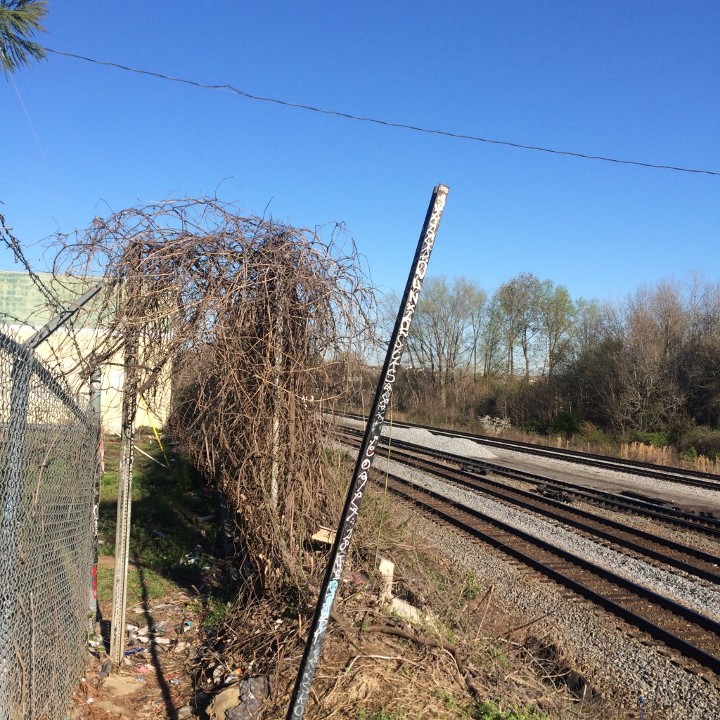
Now, about that hole in the fence. Recyled from an earlier post, this is what the hole itself looks like from the “beyond the fence” side:

IMG_5929.JPG

These are the cinder blocks mentioned:

IMG_5937.JPG

From back there you can clearly see one of the diamonds where the NS crosses the CSX main line:

IMG_5942.JPG

Here’s a pic of a train going through that diamond:

Forgotten and forbidden trails and parks of northwest Atlanta

Fort Peachtree

On Sunday I decided to visit the recently (2014) reopened Fort Peachtree park at the mouth of Peachtree Creek on the Chattahoochee. (Google maps link)

This park had been closed since sometime after 9/11/01 (or maybe even the 1996 Olympics) due to the threat posed by terrorists to the Atlanta River Intake, where the city draws water from the river. It is also very close to the R. M. Clayton sewage treatment plant and to Georgia Power’s “Plant McDonough” coal burning power plant.

There had once been at the Fort Peachtree park a recreation of the War of 1812 fort. This was built for the 1976 US Bicentennial. I have no idea if it still exists, as wherever it was is still not accessible.

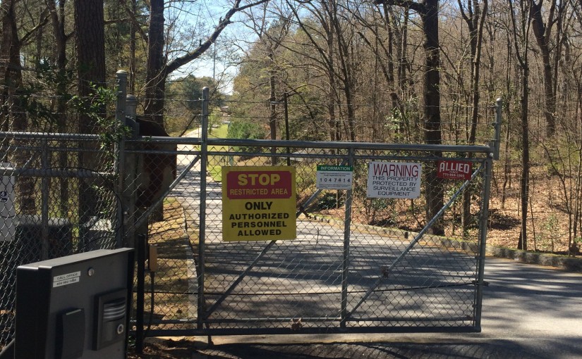
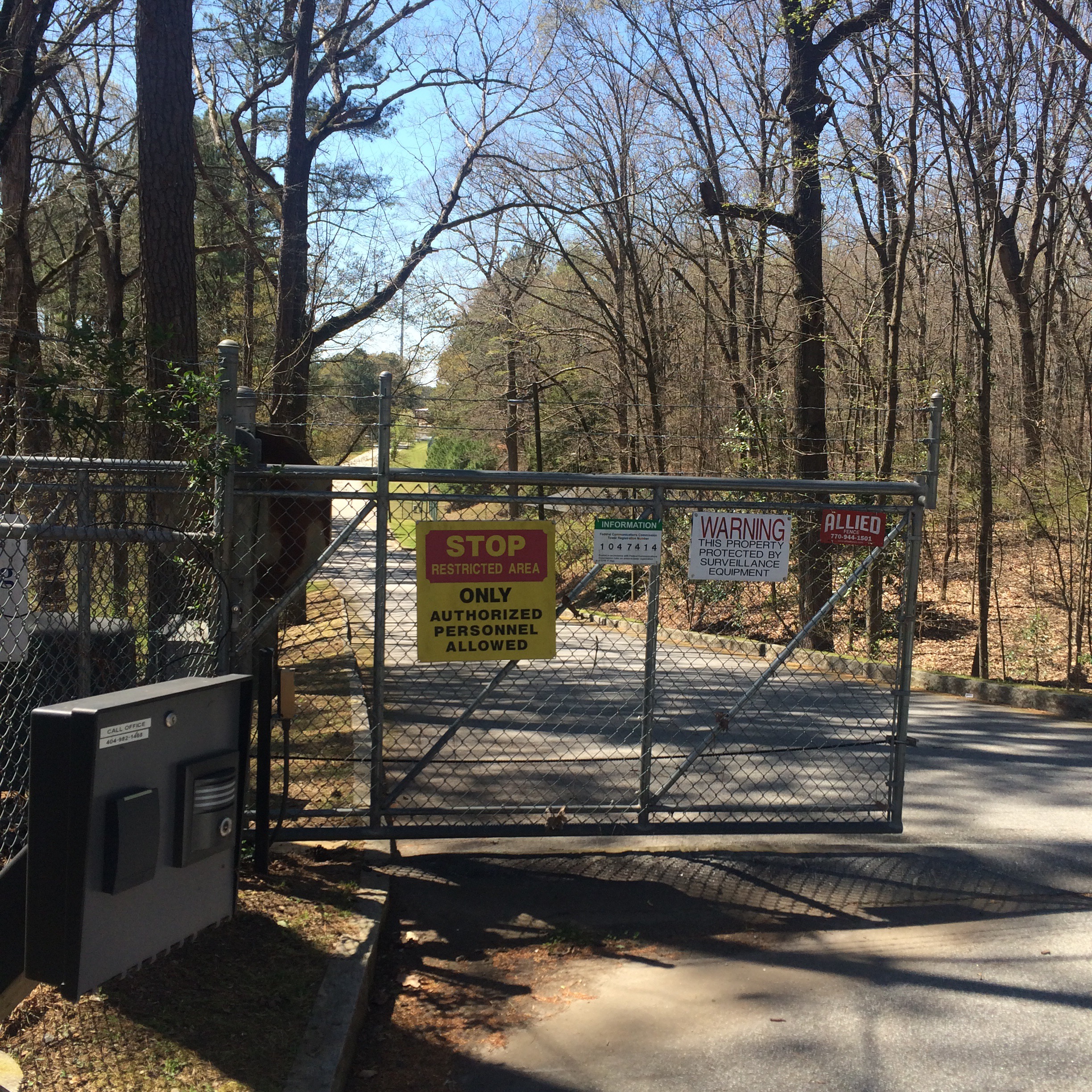
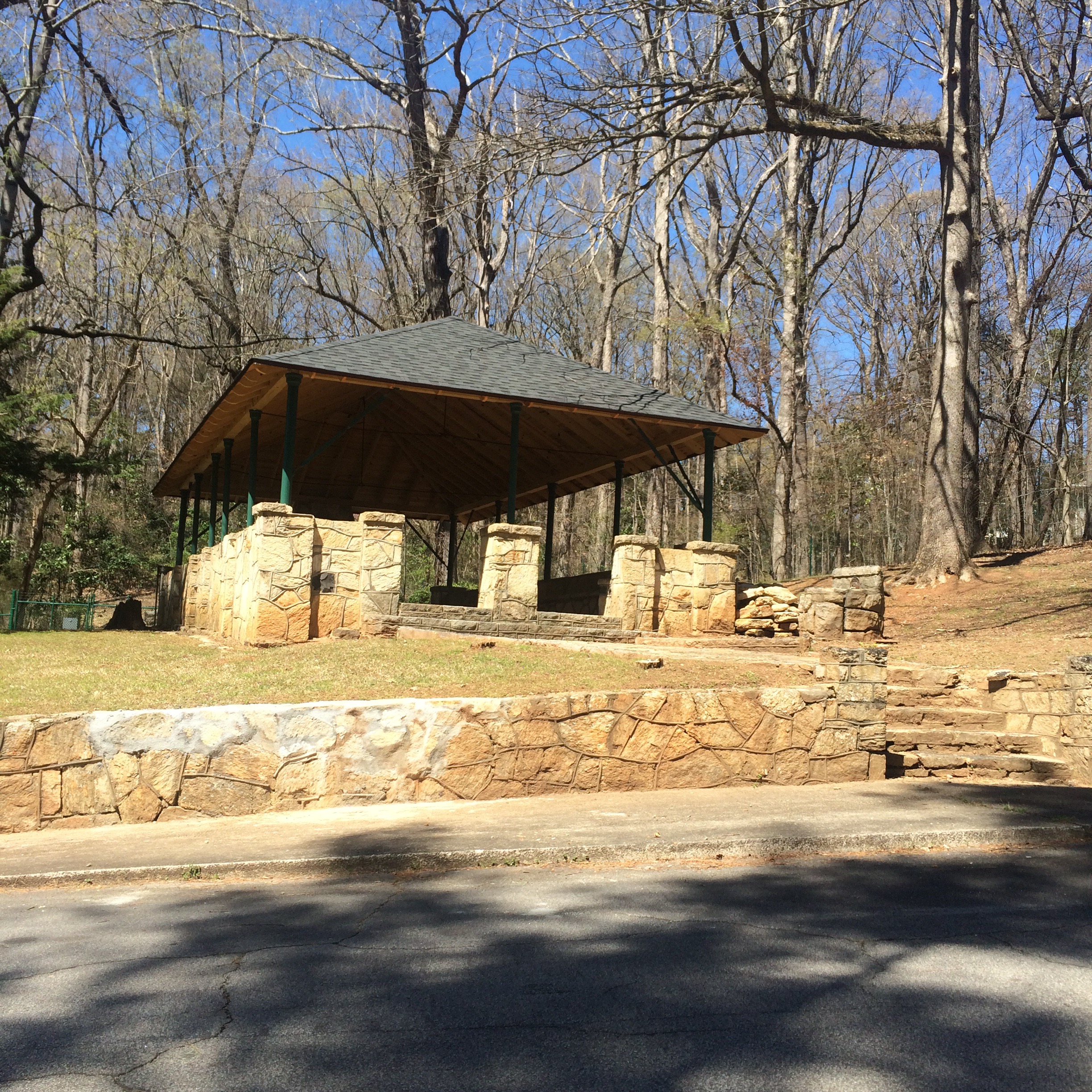
What is accessible is the ability to drive through a scary looking “authorized personnel only!” gate on Ridgeview Road which now sits open from 8am to 8pm, and park next to small picnic pavilion and follow a trail down to the river.

You can stand at the mouth of the creek and try to imagine the Indian village of Standing Peachtree, but it’s not easy. The area is now dominated by chain link fences, “no trespassing” signs, and concrete industrial structures. The smell of sewage is inescapable.

On the other side of Peachtree Creek I noticed some men fishing in the Chattahoochee and could not see a way to get to where they were. There is no bridge over the creek downstream of Ridgeview Road. I tried calling to them but they did not hear.

Chattahoochee Trailway

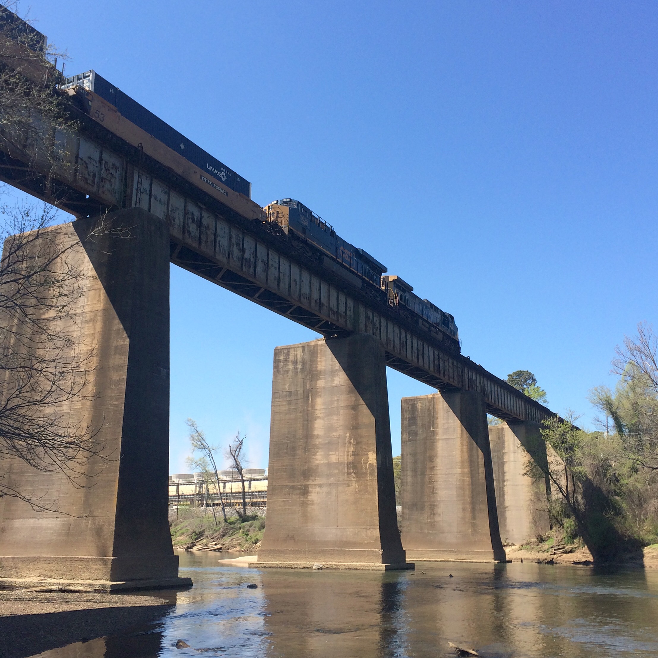
After leaving the park, I went and stood on the sidewalk of the Marietta Blvd/South Atlanta Rd bridge, looking at the river and the nearby rail bridges. Directly below me on the Fulton County side of the river I could see a concrete path, and lo and behold a worn footpath down the riverbank from the road to it. I hopped over the guardrail (it’s there to stop cars not people right?!) and scrambled down the bank.

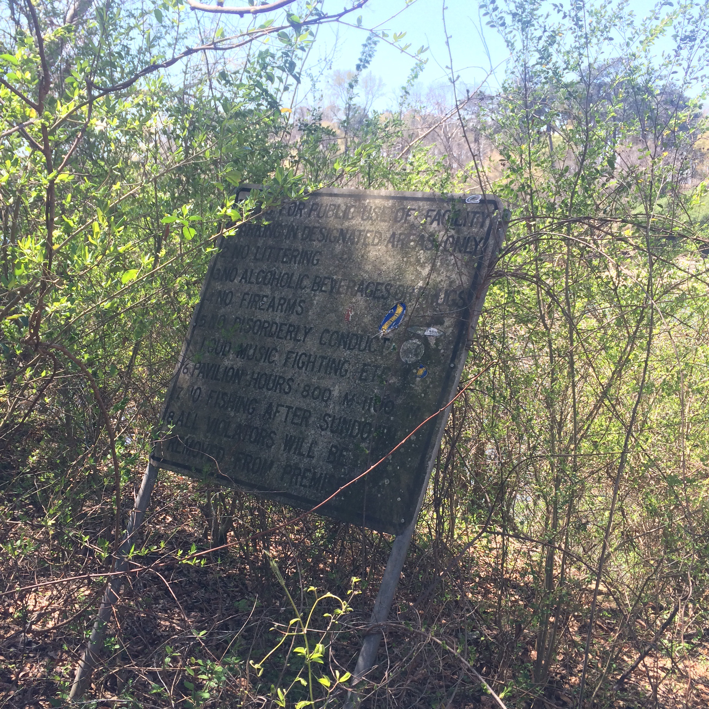
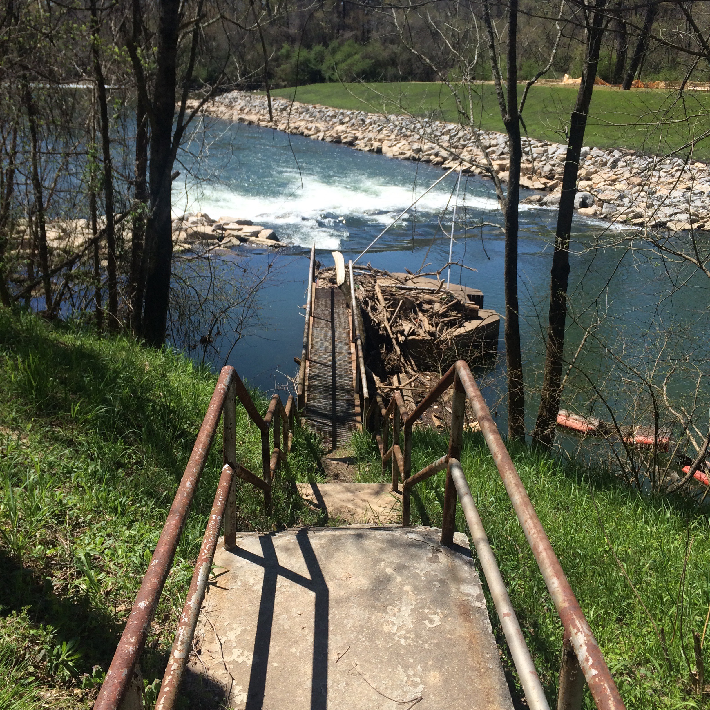
What I found was a bike trail that I had memories of seeing around 2000, and which had also (I have since confirmed directly with the PATH foundation) been closed because of “terrorism”. Remaining signage called it the “Chattahoochee Trailway”. There is almost nothing about this trail on the Internet. Not on the PATH website, no newspaper articles about its closure, it is almost like it never existed.

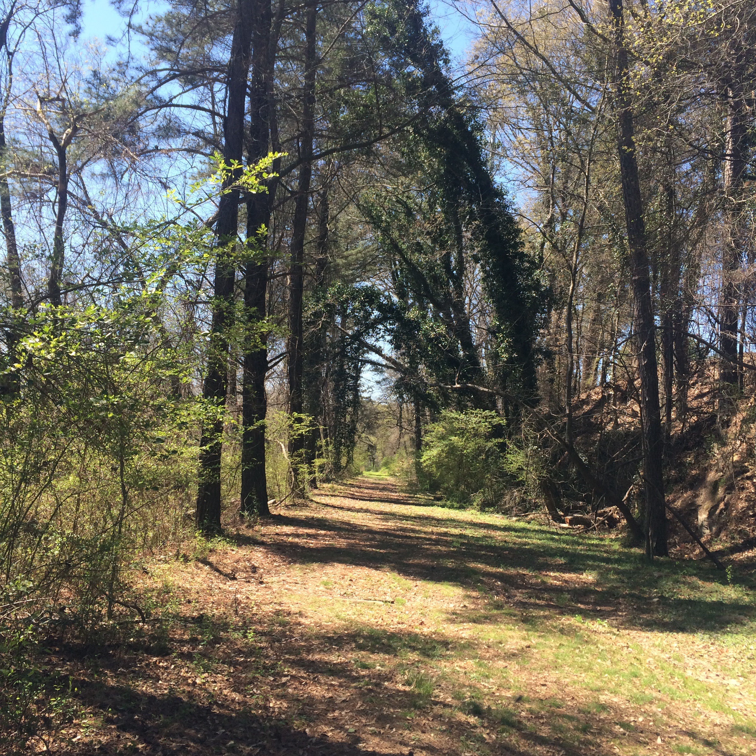
The other end of the trail was where it had once been accessible from Marietta Road, only this part of Marietta road was no longer drivable, being gated off much further from the river. The old barriers to keep motor vehicles off the trail remained.

Now it was possible to walk around this stuff and follow the road further downriver. I decided to go ahead, since I probably could not get in any worse trouble than I was already in. Don’t try this at home kids, and all that jazz.

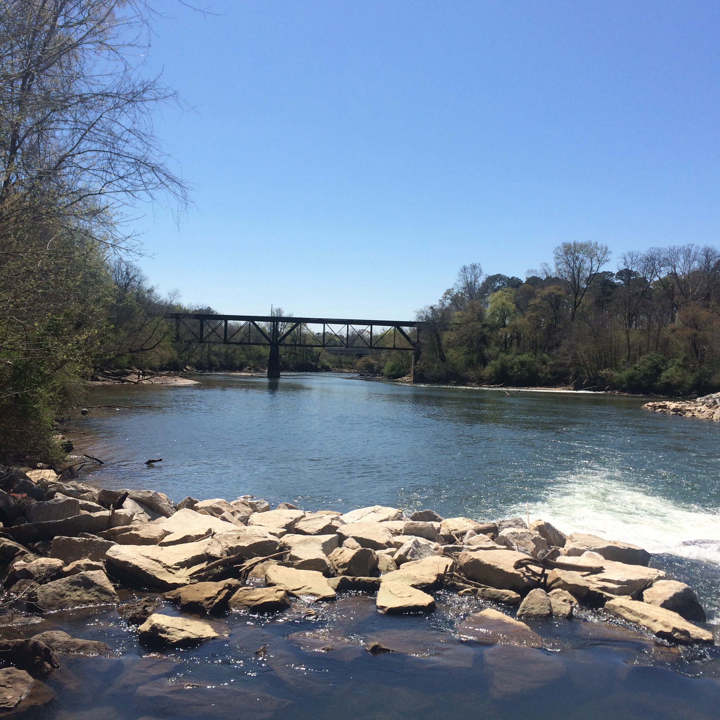
It lead to a view of the CSX railroad bridge, with Plant McDonough visible across the the river, that cannot be had any other way.

Returning to the trail, I followed it back under the road bridge to the old Seaboard Air Line rail bridge, and in doing so I met the men I had seen earlier fishing. They seemed concerned that I had “caught” them, as if I was someone who was supposed to be here.


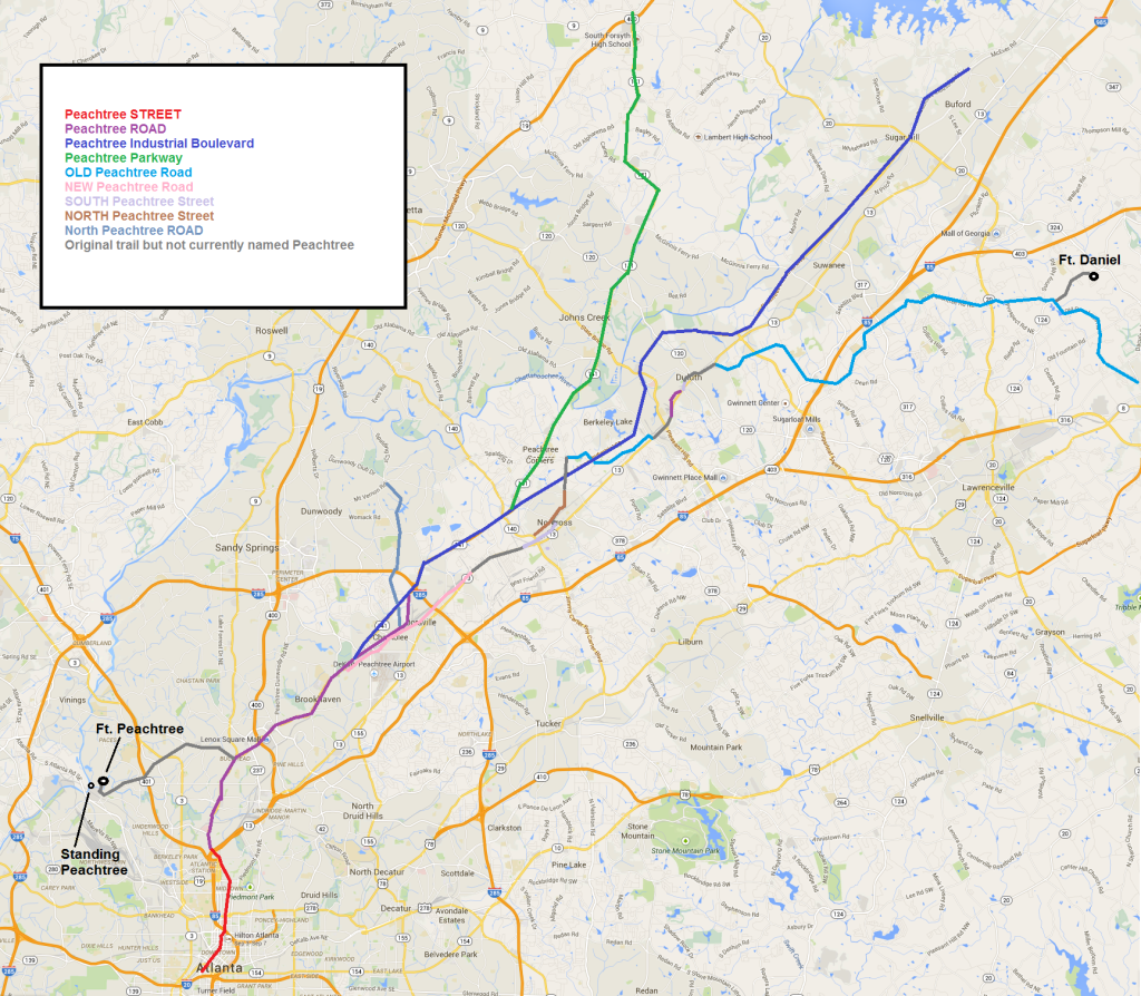
Map of SOME roads called “Peachtree”

Not shown: West Peachtree Street, Peachtree Battle Avenue, Peachtree Corners Circle, and a million more. Boundary between Peachtree Street and Peachtree road is guesswork and probably wrong. The city makes no real distinction between them. The boundary has something to do with where the city limits were and/or where the pavement gave way to dirt, at some arbitary time in the past.

I think this might be the only map like this around; I would not have bothered to make it if I could have found one.

For Non-Atlanta people, when someone says “Peachtree” with no other qualifier, they mean Peachtree Street or Peachtree Road from downtown northward to the point where Peachtree Industrial Boulevard begins. Anything else requires more information to differentiate what you mean. (Those are also the only Peachtrees that are considered important, at least by people who live ITP. The others are just curiously named extensions)

Don’t get worked up about the blocky lines or inexactness. I made this thing in MS Paint for crying out loud.

Notice that from Norcross to the northeast, the older roads tend to follow the Eastern Continental Divide.

This is my source for information about the original Peachtree trail.

Mystery of the north Atlanta drive-in movie theaters.. SOLVED

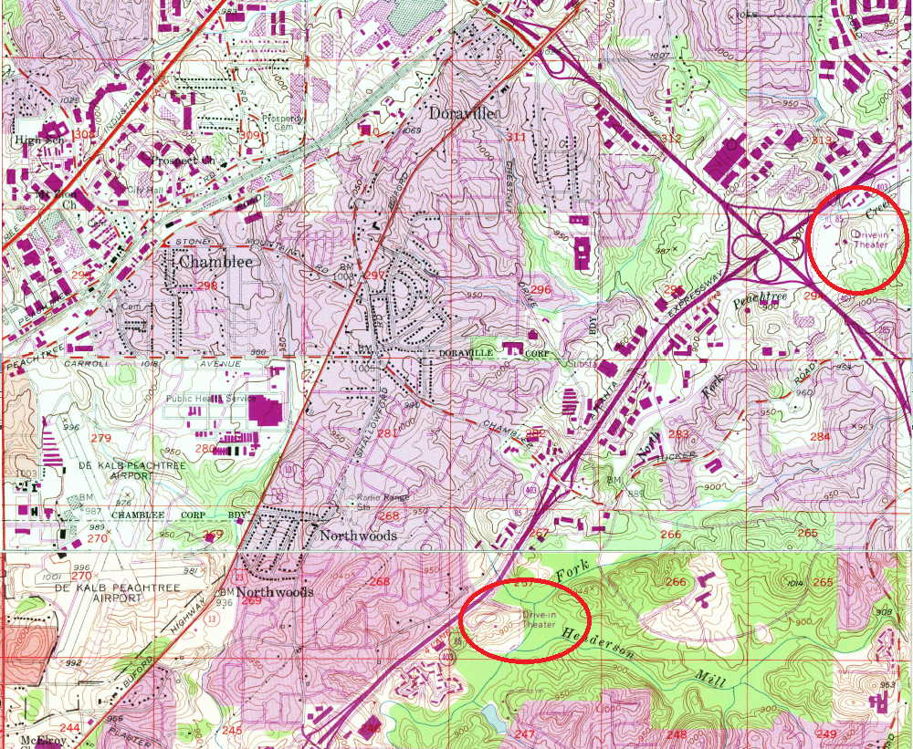
So in the past I’ve had people tell me that the AMC movie theater on I-85 used to be a drive-in. But I’ve had other people tell me that the drive-in was at the current location of the Atlanta Silverbacks soccer park.

Thanks to the 1950s topo maps you can download from the GPS, it turns out they were both right. On the 1954 maps of “Northeast Atlanta” and “Chamblee” quadrant maps, there are two drive-in movie theaters, actually pretty close to each other. Competition must have been fierce.

drivein

Also.. checkout proto-Spaghetti Junction!

Driving Tour of the Eastern Continental Divide in Atlanta

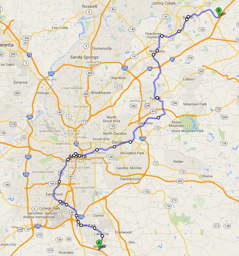
ecd_driving

This is about as good as I can do, the part in downtown Atlanta is particularly sloppy because the ECD actually runs through the Gulch.

Click For Google Map

To future-proof it against changes in the Google Maps site, this is the text:

Start at I-75 exit 223
Head north on Jonesboro Rd
Turn right onto N Lake Dr
Turn left onto Forest Pkwy
Turn right onto Jonesboro Rd
Turn left at the 1st cross street onto Courtney Dr
Slight left onto Main St
Turn left onto Hale Rd
Turn right onto Central Ave
Continue onto Old Dixie Hwy
Continue onto Porsche Ave
Continue onto S Central Ave
Turn left onto Irene Kidd Pkwy
Turn right onto GA-14 N/US-29 N/Main St
Continue to follow GA-14 N/US-29 N
Continue straight onto Peters St SW
Peters St SW turns slightly right and becomes Trinity Ave SW
Turn left onto Forsyth St SW
Turn right onto Marietta St NW
Continue onto Decatur St SE
Continue onto DeKalb Ave NE
Continue onto W Howard Ave
Turn right onto N McDonough St
Turn left at the 1st cross street onto GA-10 E/US-278 E/E College Ave
Continue to follow GA-10 E/US-278 E
Turn left onto N Clarendon Ave
Slight right at Wells St
Slight right onto E Ponce De Leon Ave
Turn left onto Mountain Industrial Blvd
Turn left onto Hugh Howell Rd
Turn right onto GA-236 W/GA-8 E/US-29 N
Turn left onto Lavista Rd
Slight right onto Chamblee Tucker Rd
Continue straight onto Tucker Norcross Rd
Turn right to stay on Tucker Norcross Rd
Continue onto S Norcross Tucker Rd
Turn left onto Jimmy Carter Blvd
Turn right onto S Peachtree St
Slight left to stay on S Peachtree St
Turn left onto Park Dr
Turn right onto N Peachtree St
N Peachtree St turns slightly left and becomes Medlock Bridge Rd NW
Turn right onto S Old Peachtree Rd
Continue onto Industrial Park Dr NW
Turn right onto N Berkeley Lake Rd NW
Turn left onto GA-13 N/US-23 N
Turn left onto S Peachtree St
Turn left onto Hardy Industrial Blvd
Turn right onto Hill St NW
Turn right onto Abbotts Bridge Rd
Turn left onto Main St
Turn right onto Brock St
Turn right onto Old Peachtree Rd NW
End at I-85 exit 109

“53.9 mi, 1 hour 54 mins”


Eastern Continental Divide GPS Maps

As far as we can determine, there is no map of this dividing line in existence as of 2003. This being the case, it was decided to research the Divide in Georgia.

via Eastern Continental Divide GPS Maps.

Back in 2012 I used the information at this page to make a set a turn-by-turn directions for following the ECD through Atlanta as close as possible on current roads.

Unfortunately changes in the Google maps algorithm means that the “permalink” I saved no longer works. I will attempt to recreate it in a less-fragile format.