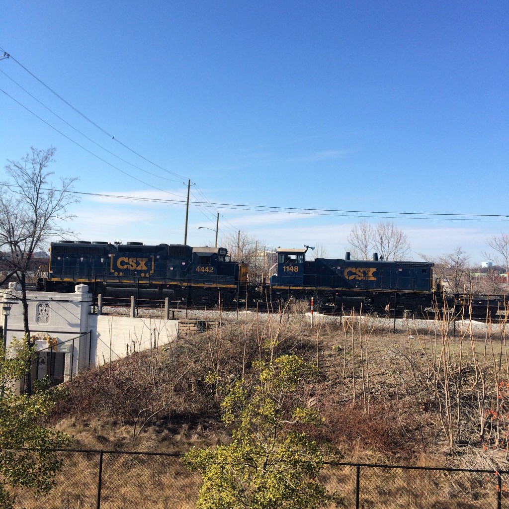
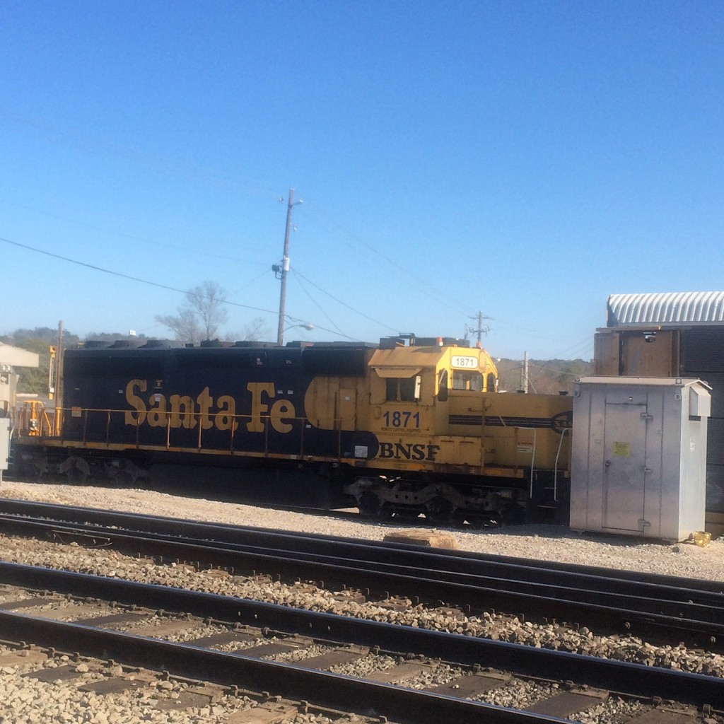
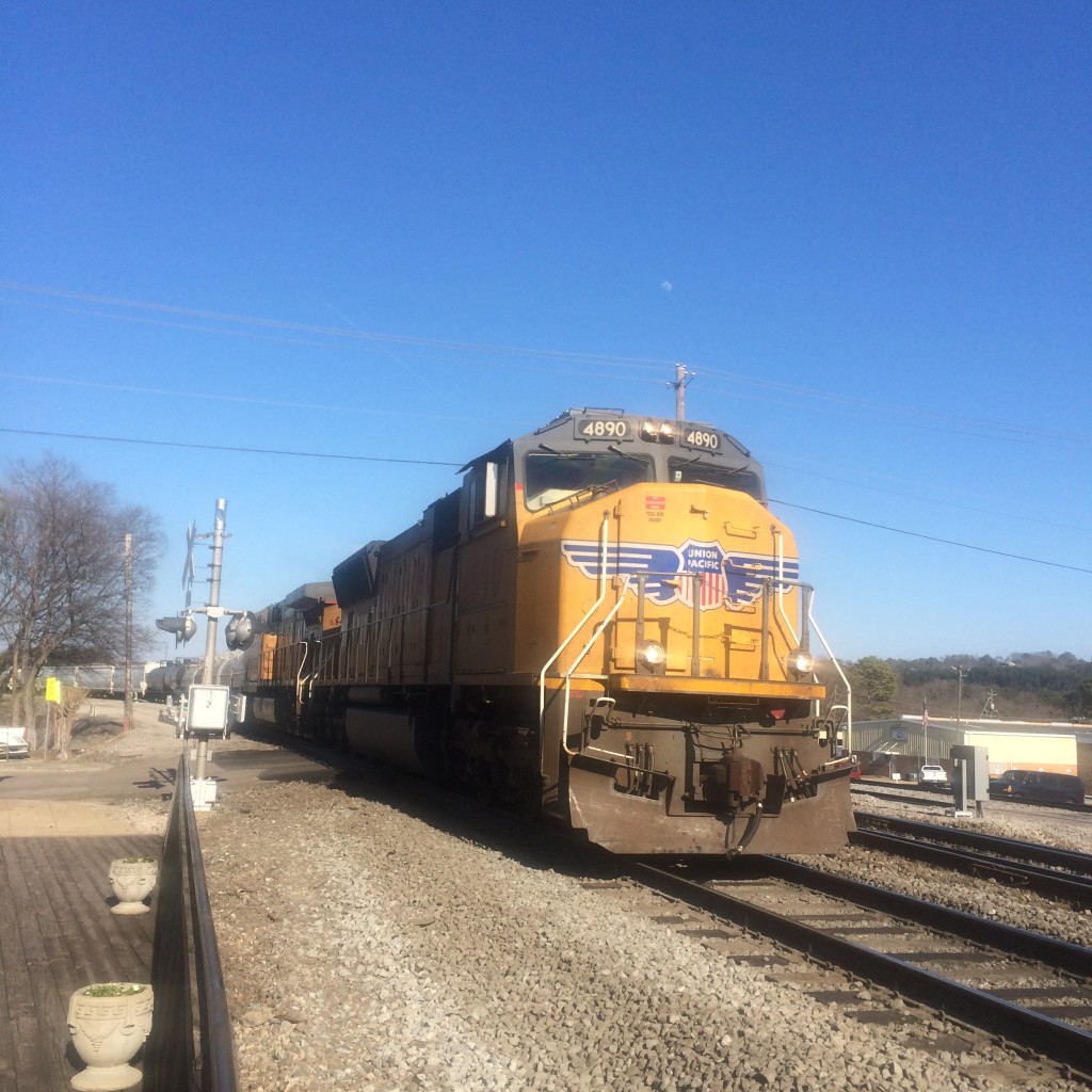
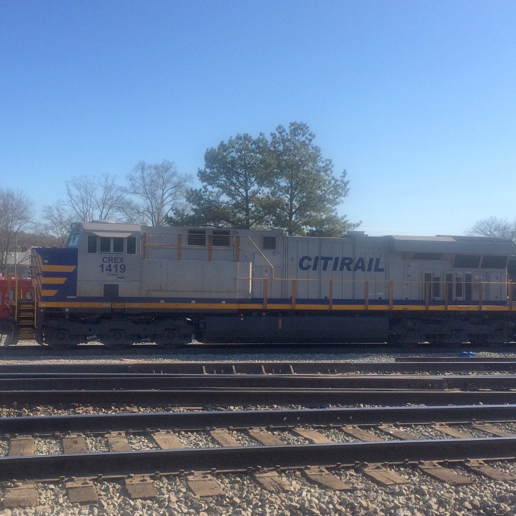
Downtown Birmingham is not only better-preserved than downtown Atlanta, it is also much easier to watch trains. It’s almost like they let a railfan design the place.
Viaducts
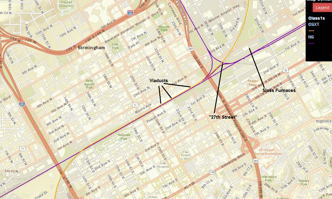
Birmingham has its own equivalent of Atlanta’s “gulch”, sort of. NS and CSX run right beside each other through the very center of town. Both railroads are double-track, and there are additional sidings and such, so a fairly wide path through downtown is devoted to rail.
Birmingham’s downtown street grid is (as in Atlanta) grade-separated from the railroads, except that in Birmingham many of the surface streets go under the tracks rather than uniformly over. The freeways and a few surface roads go over the tracks on viaducts that provide a good view of the trains below.
Birmingham has not built any structures completely over the top of the tracks, as Atlanta has. Therefore the view from the viaducts relatively unobstructed.
The bridges on 22nd street and Richard Arrington Blvd (which occupies the place of “21st” street in the grid) have curbside parking spaces on the bridge, so you can pull your car over right in the middle and stand next to it waiting for trains to come by.
You shouldn’t have to wait long, because these viaducts span main lines of both NS and CSX. (Birmingham’s other Class 1, BNSF, is a topic for another day)
The 24th street viaduct provides no such parking, and the sidewalk is only on one side of the road, so it is not as good as the others.
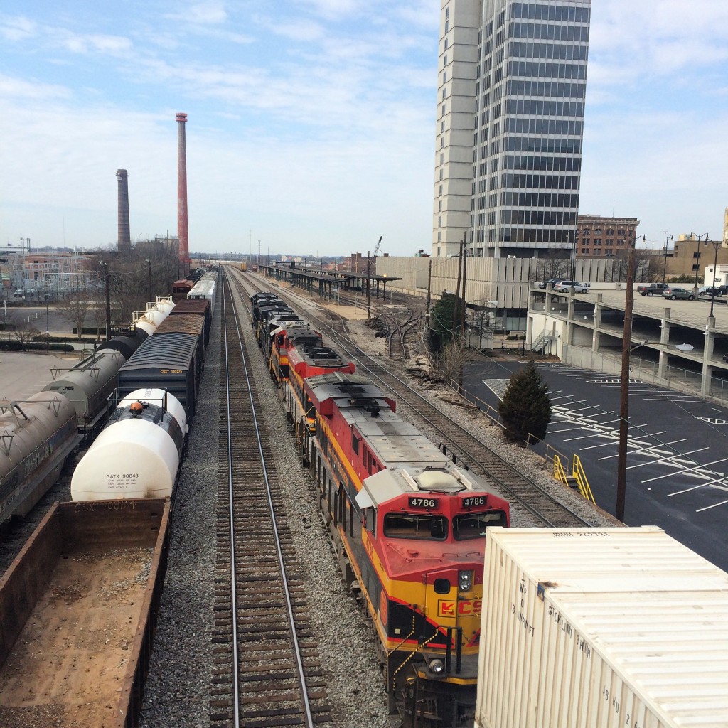
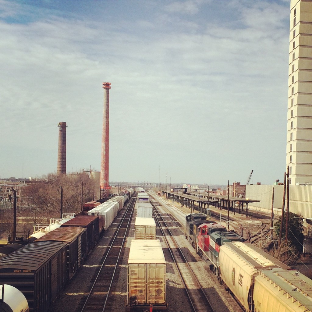
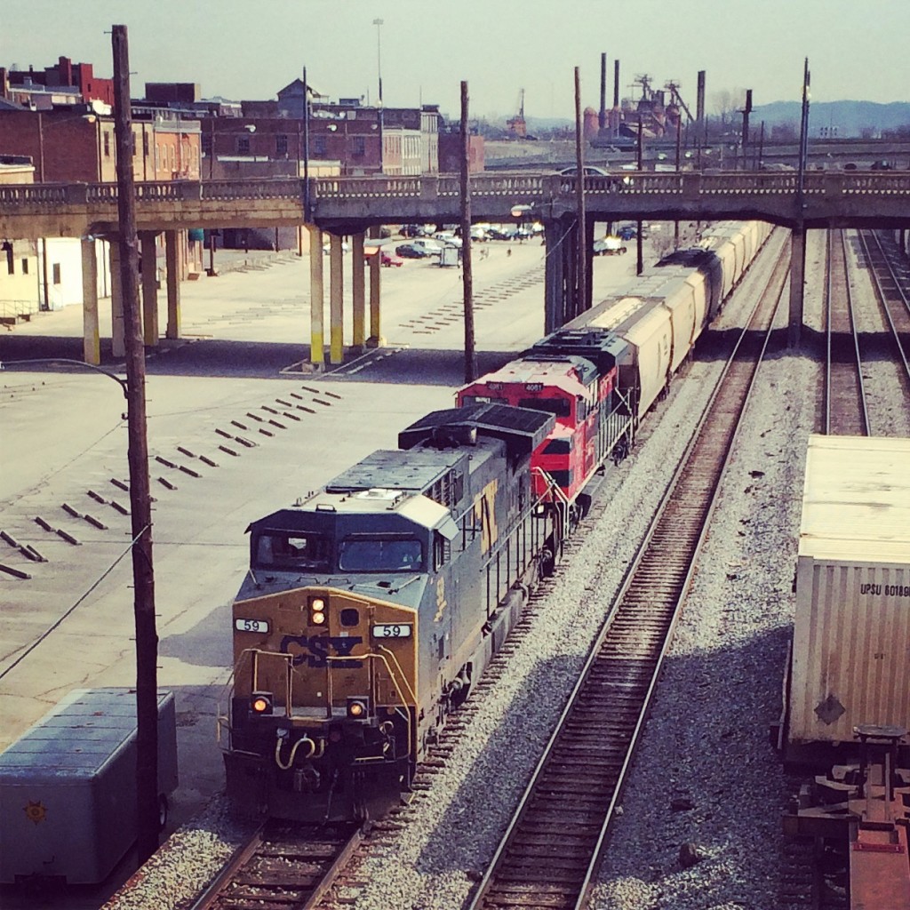
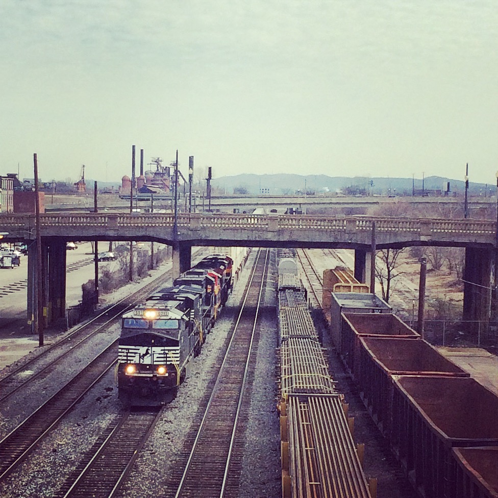
This is a view looking southwest from the Arrington Avenue viaduct. To the right of the tracks in the distance you can see the platforms of the Amtrak station. These two photos show two trains that went by in rapid succession, you can see the end of the first train still in the second picture.
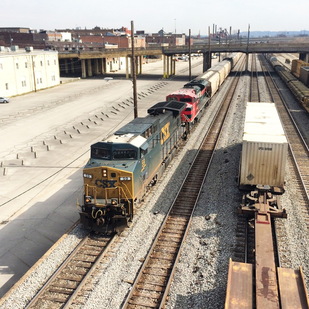
This is looking northeast from the same place (and same train). Mountains loom ominously on the horizon.
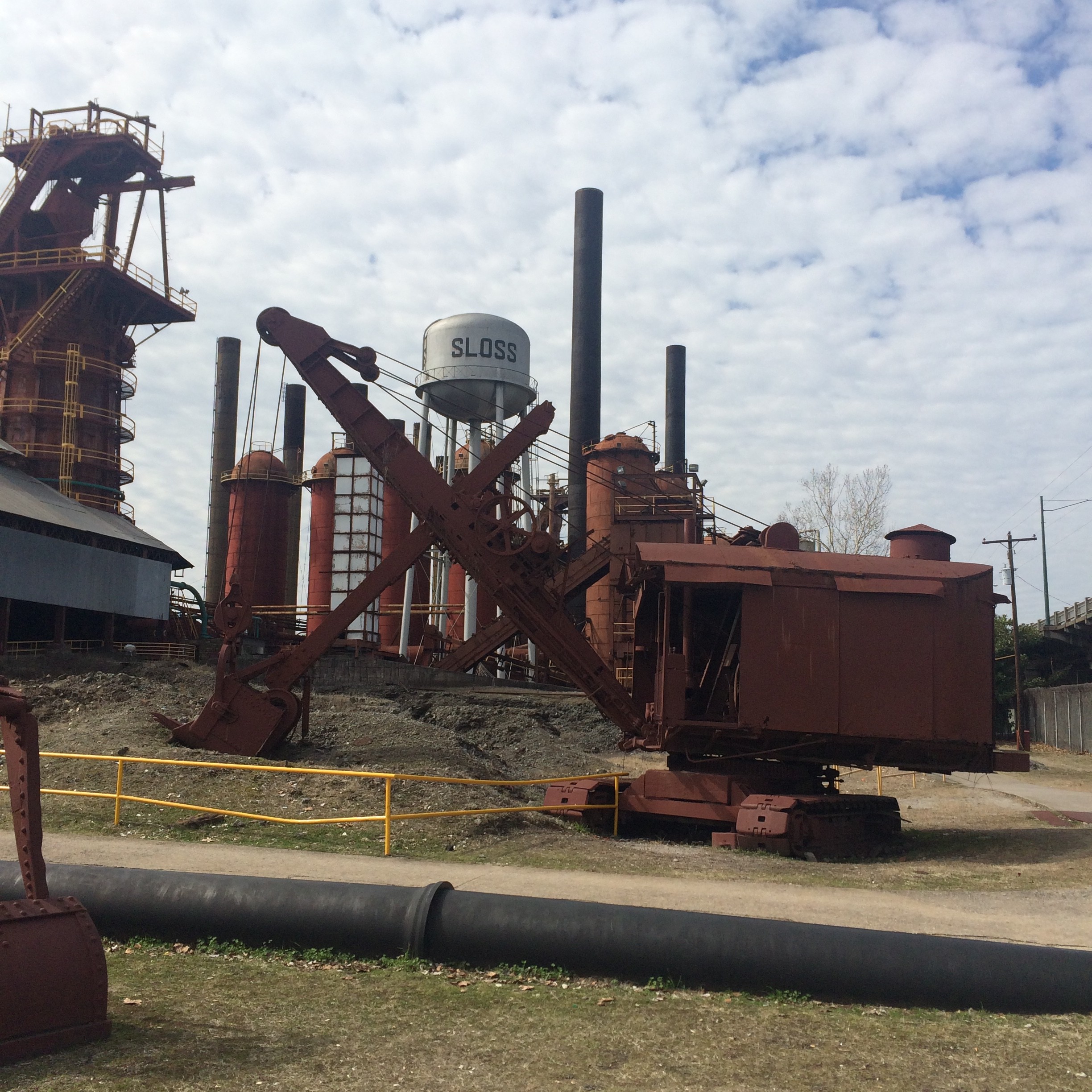
Some blatantly “instagrammed” pictures of the same trains. You can see the Sloss Furnaces pretty clearly in the background of these.
Sloss Furnaces
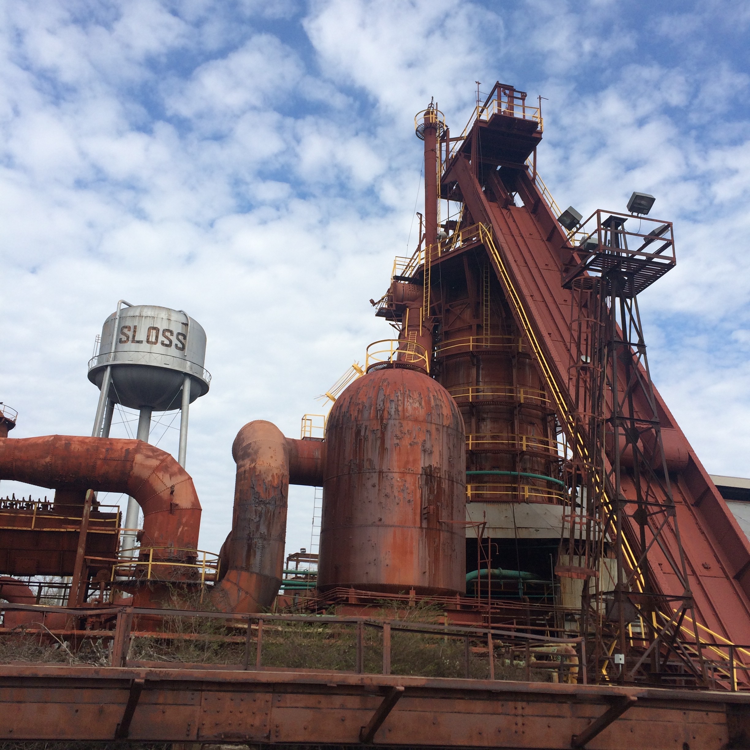
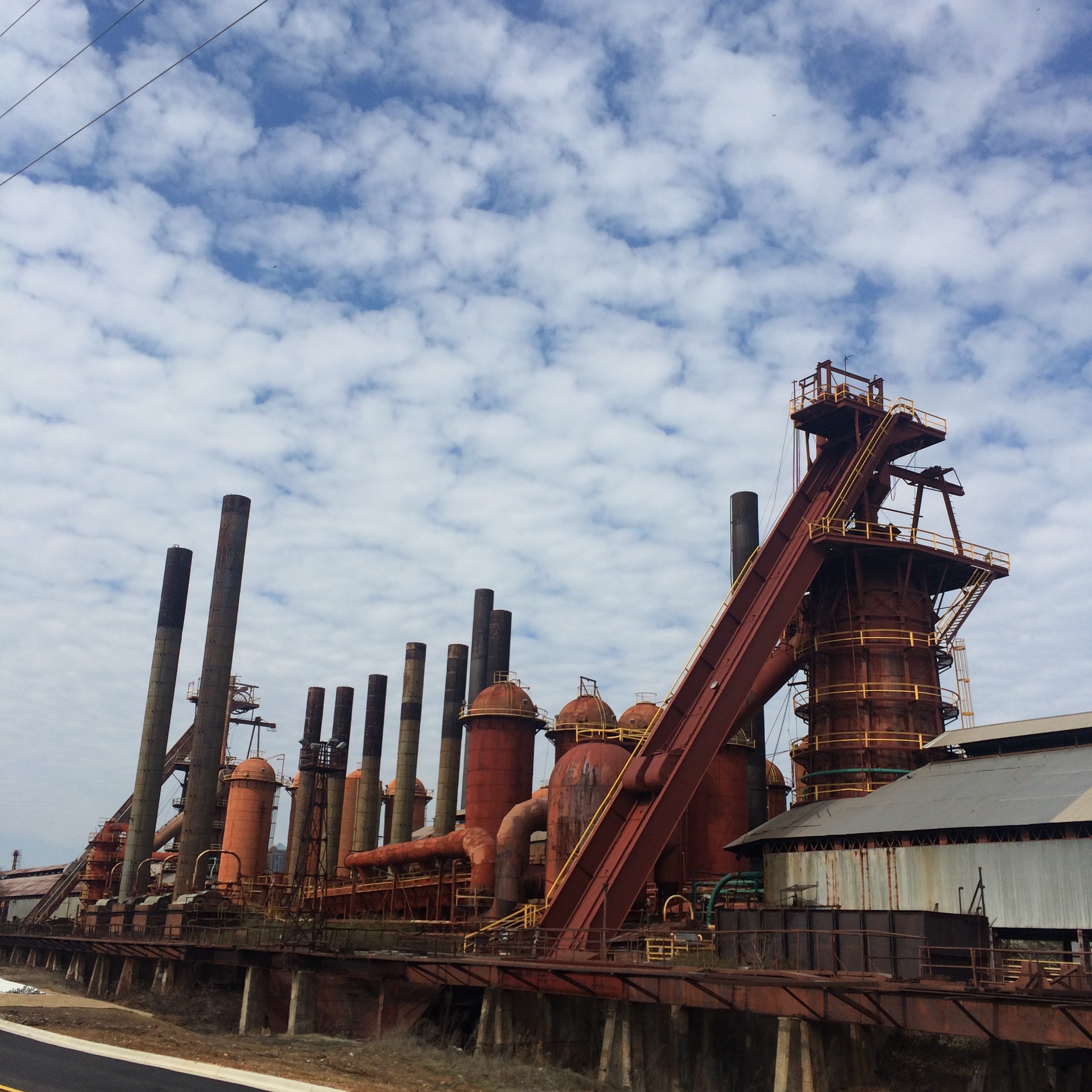
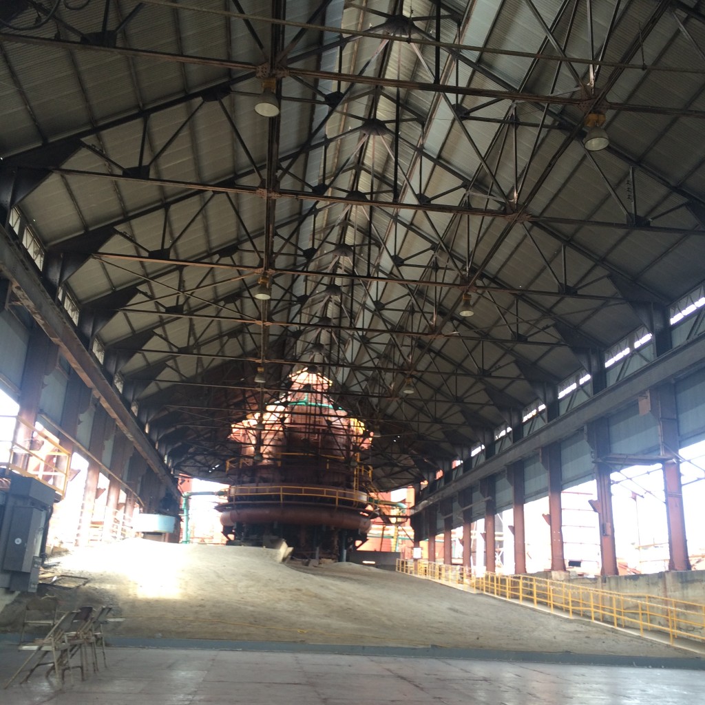
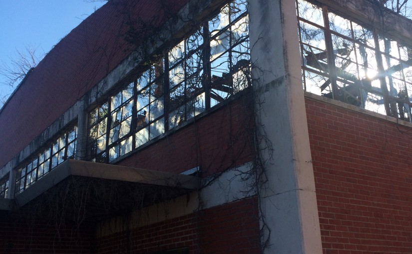
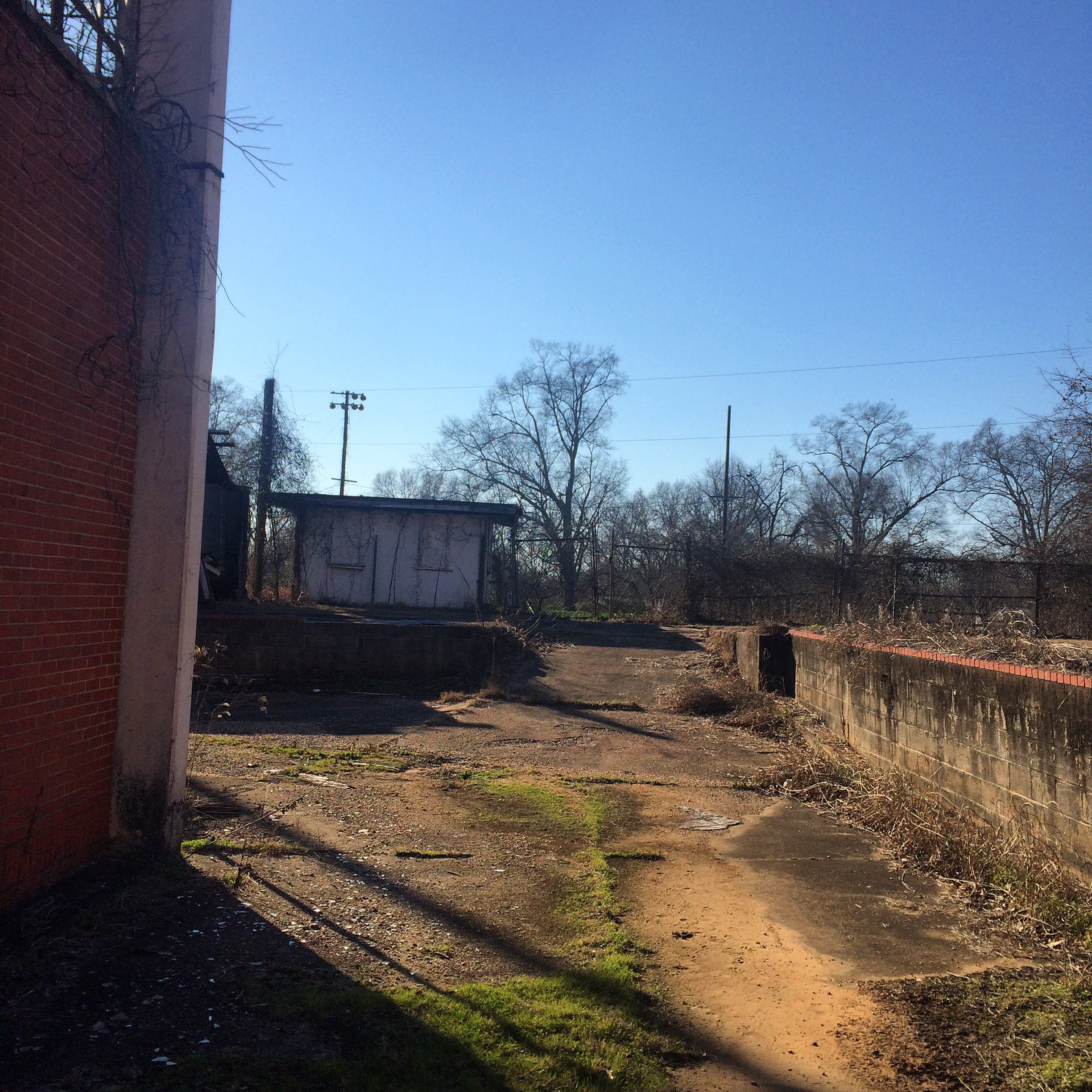
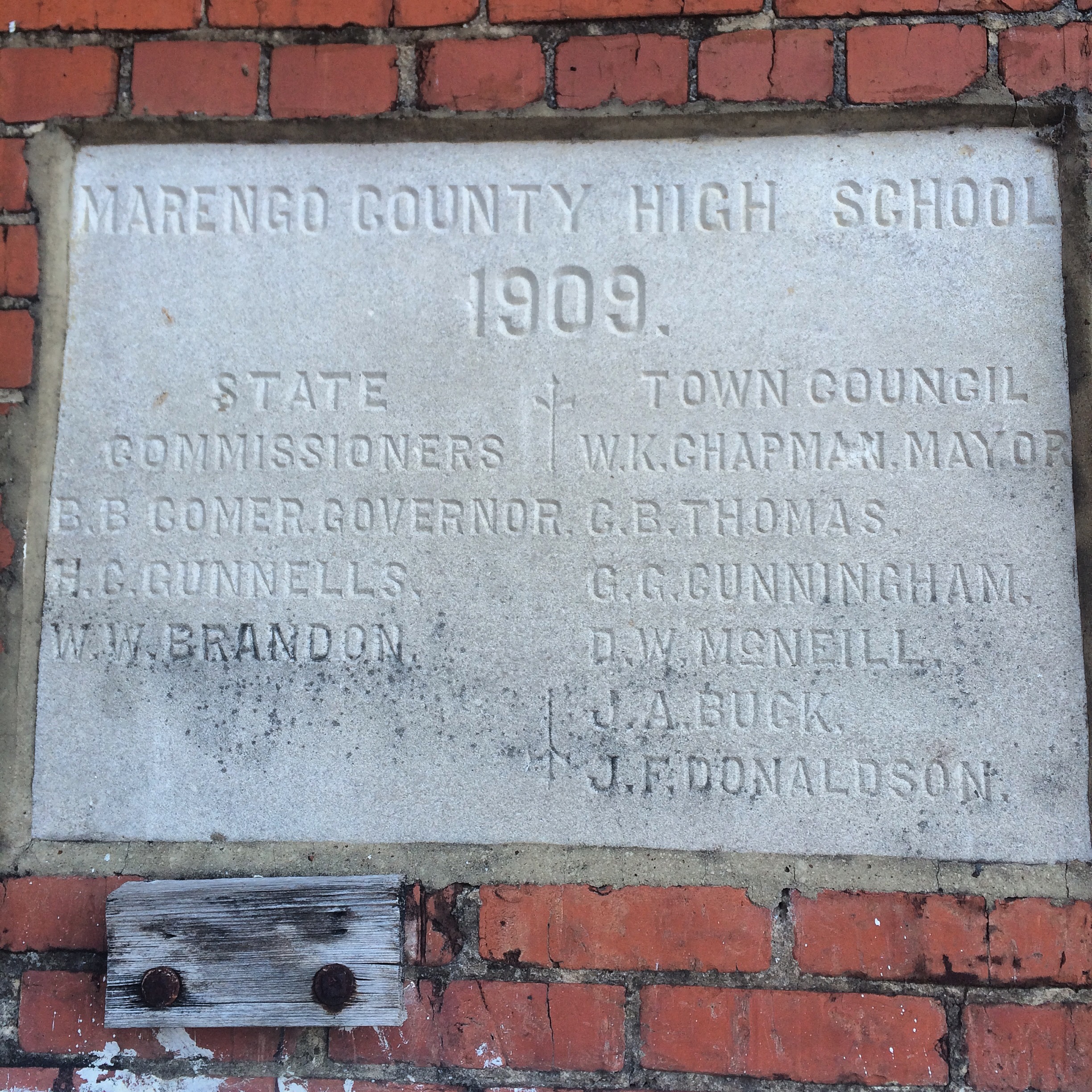
Speaking of which, before getting back to the rail pictures, let’s throw in a few of the Sloss site itself. If you don’t look at these and say “I want to go to there“, then I don’t really understand how you like trains either.
27th Street Interlocking
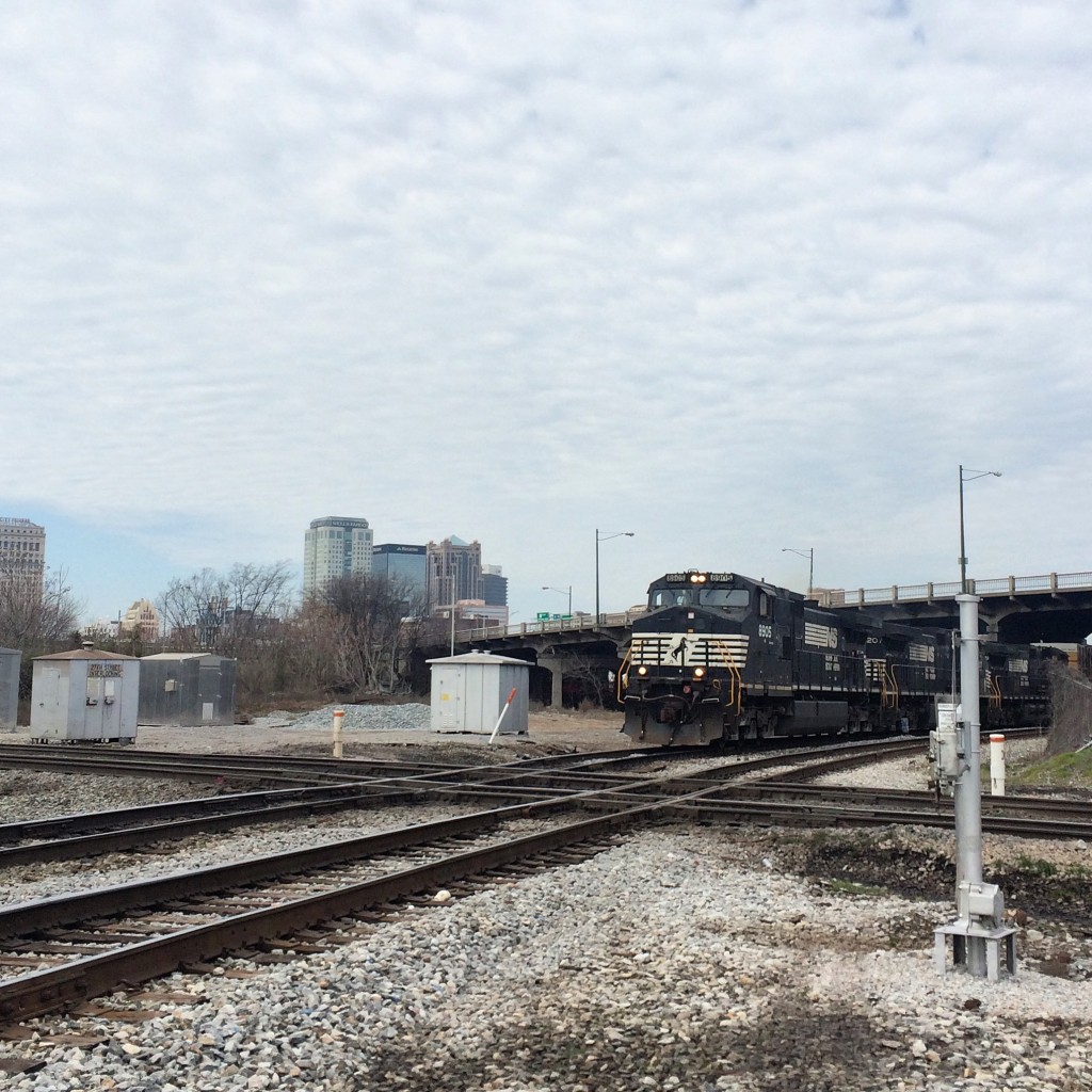
As shown on the map above, this is a major intersection of NS and CSX lines. In spite of its name, it not directly viewable from 27th Street. I got a good view of it from the extreme western end of the Sloss property.
The shortline Alabama and Tennessee River also comes into play here, but I saw no sign of their trains.
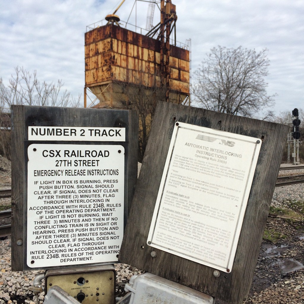
“Emergency release instructions” for both roads :
An NS train is about to cross the double CSX tracks, with the downtown skyline in the background.
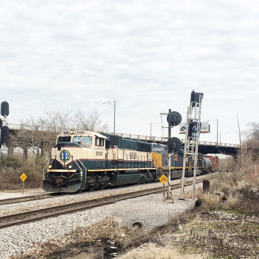
A train approaches on the CSX with a BNSF unit in the lead:
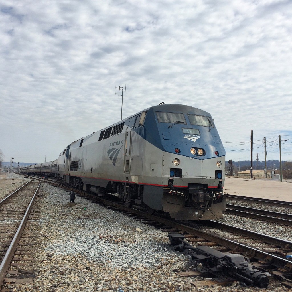
The Crescent train 19:
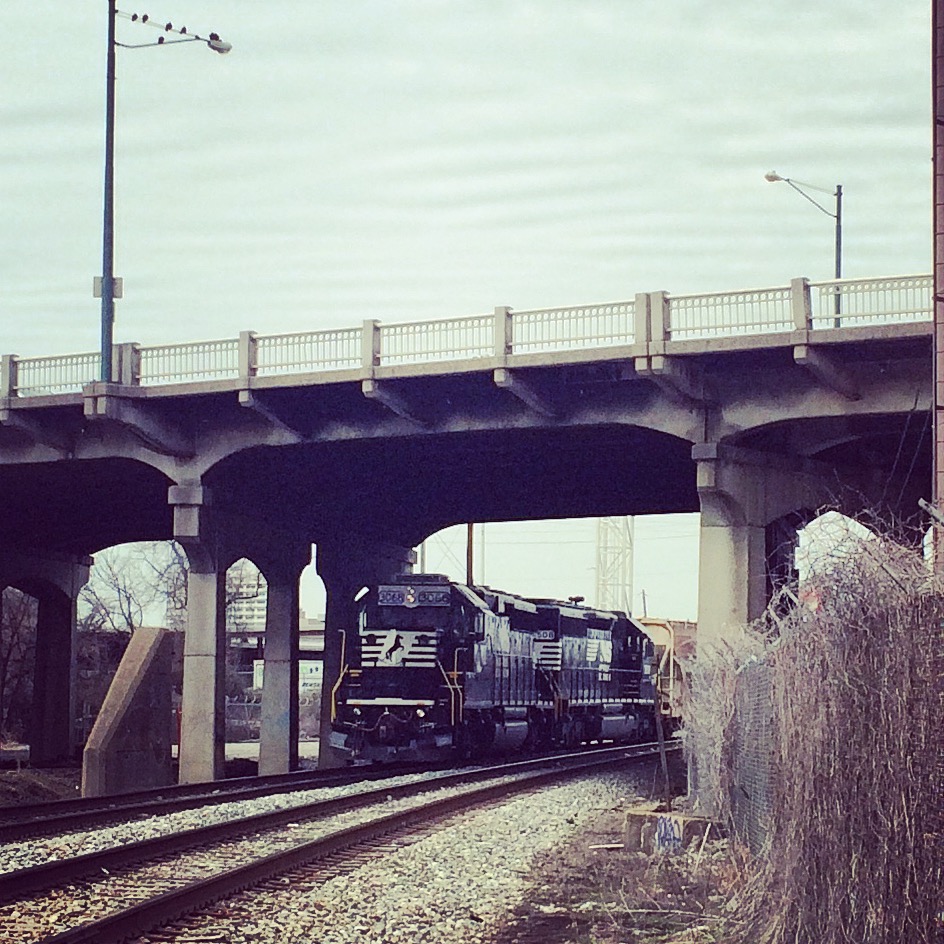
Anoether NS train waits under the 1st Avenue North viaduct before proceeding. The viaduct itself might have provided a good overhead view of all this stuff, had I managed to find a place to park near its approach.
Railroad Park
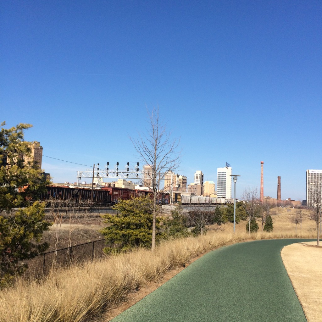
At the other end (southwest) of the downtown corridor shared by NS and CSX, lies Railroad Park. It is a nice park, but I think if you are really out just to see trains rather, then you will get a better view from the viaducts.
Easy Livin’ in Irondale
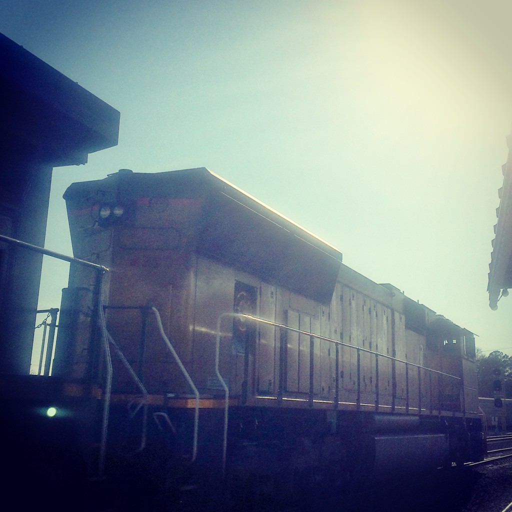
These last were not taken in downtown Birmingham at all, but out in the suburb of Irondale where the NS tracks enter Norris Yard. Here these is a covered wooden platform beside the tracks with benches and picnic tables, so you can just sit in the shade and relax as the trains roll by.
I did drive around Norris as much as possible without entering obvious NS property, but I didn’t really feel like stopping anywhere to take pictures, so these are all taken from the platform. The sun was pretty low by this point, as can be seen in these pictures.
