More links to map resources

Historical and general reference

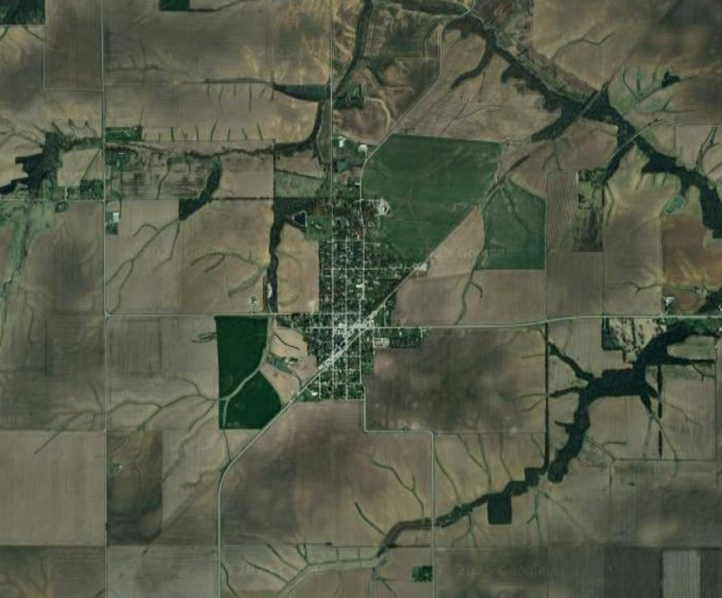
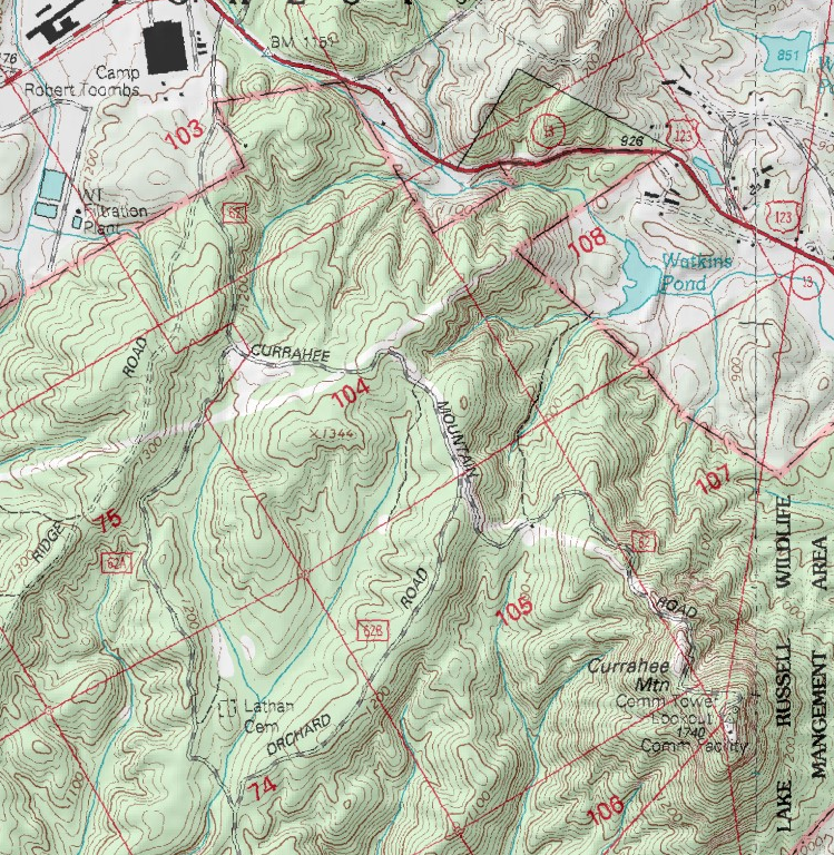
  • USGS TopoView – entry point for all current and historical topographic maps published the US government; can download maps or display them overlayed within the main viewer

Railroads

Outdoors, off-roading, etc.

  • U.S. Forest Service – Interactive Visitor Map – shows national forest locations, forest service roads, trails; indicates if roads are paved, dirt, 4wd-only.
  • Forest Service Roads – Chattahoochee-Oconee National Forest – color coded by road status (open, seasonal, temporarily closed, permanently closed)
  • Georgia Wildlife Resources Division – Interactive Map – shows state Wildlife Management Area locations, hunting, fishing, camping, shooting ranges, roads. I have learned not to trust these maps to be up to date about road closures!
  • MyTopo – Online Maps – these are older USGS topo maps overlayed with some such as forest service road numbers. In spite of some maps being outdated, the simple interface makes for a quick reference.
  • Georgia DOT Maps – Index to county road maps, which are basically the only maps online that actually show the paved or dirt status of all roads outside of national/state forests! Reasonably up to date. Unfortunate interface requires downloading individual county maps one by one.
  • Trails Off-Road Map – detailed trail guides for individual roads, including photos, videos, reviews. Requires sign-up with email address, facebook, etc. Some features (including to view all trails on the map at the same time) require paid membership.
  • Georgia Trails/Offroad Registry – user contributed map, publicly editable; not sure how up to date
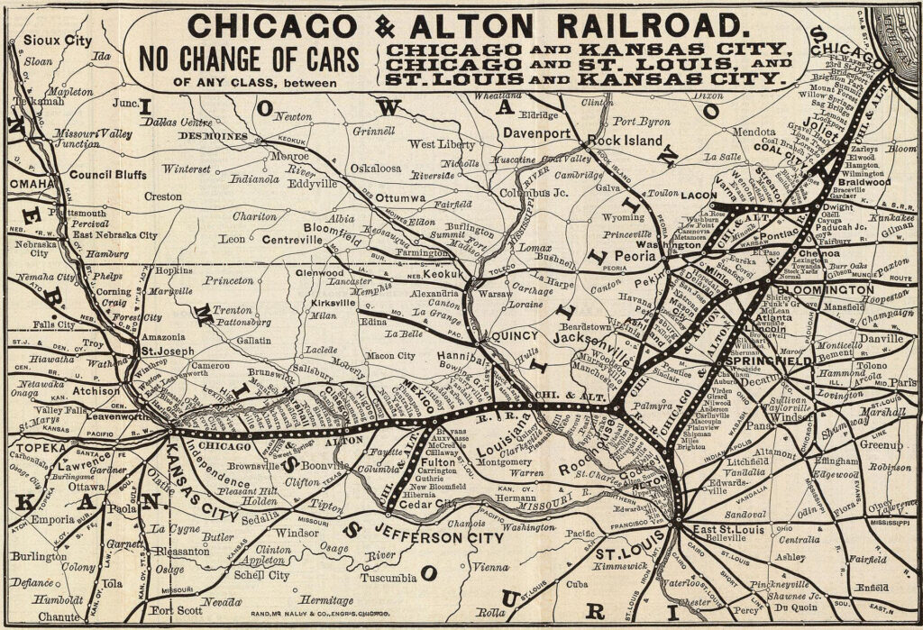
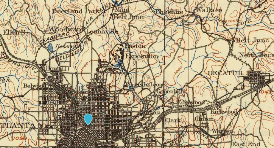
Example historical map (1895) in TopoView
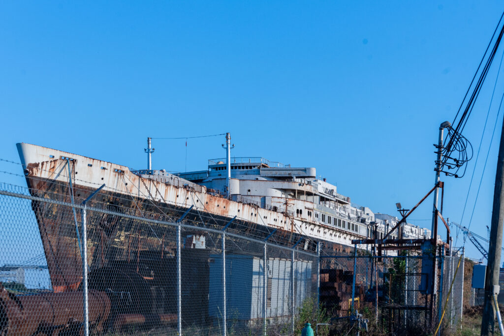
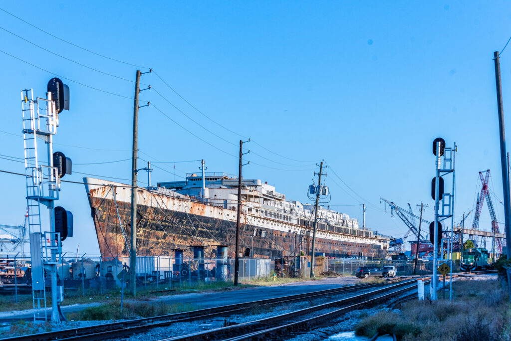
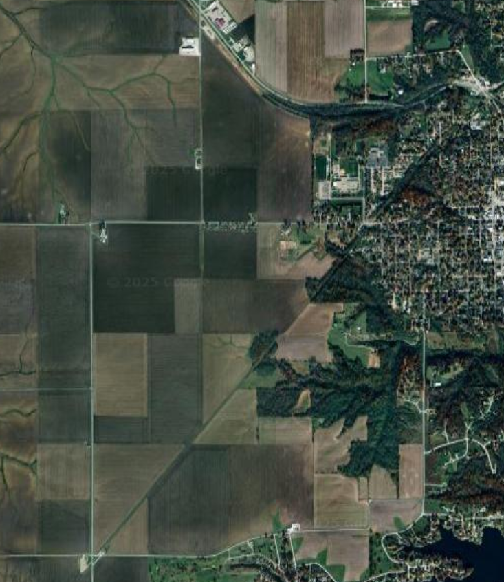
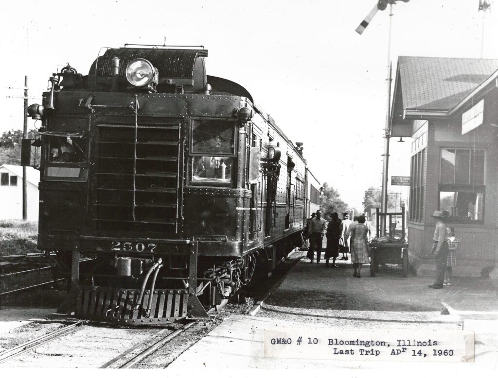
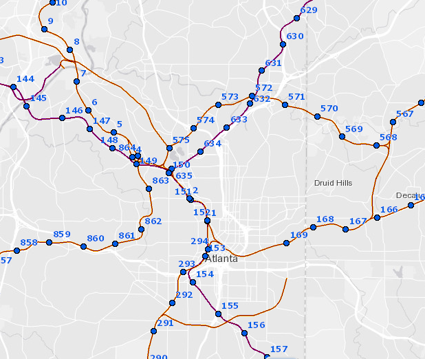
Example of Fed. Railroad Admin map
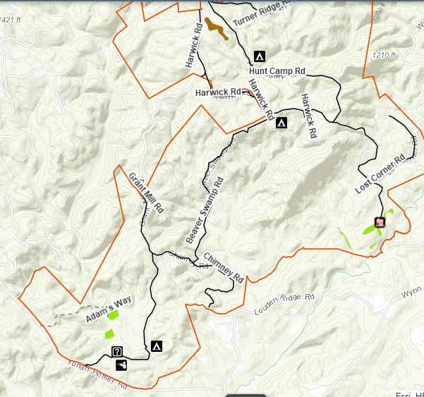
Example US Forest Service Map
Example GA Dept. of Natural Resources Map
Example MyTopo map
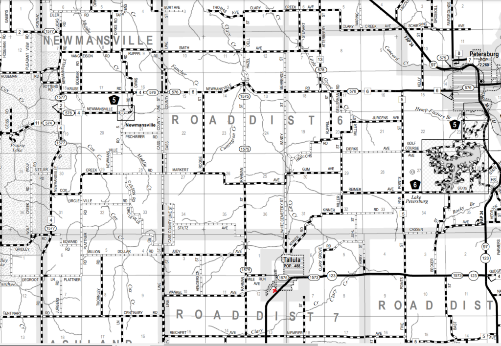
example of GA DOT maps

Eastern Continental Divide: North of Gainesville

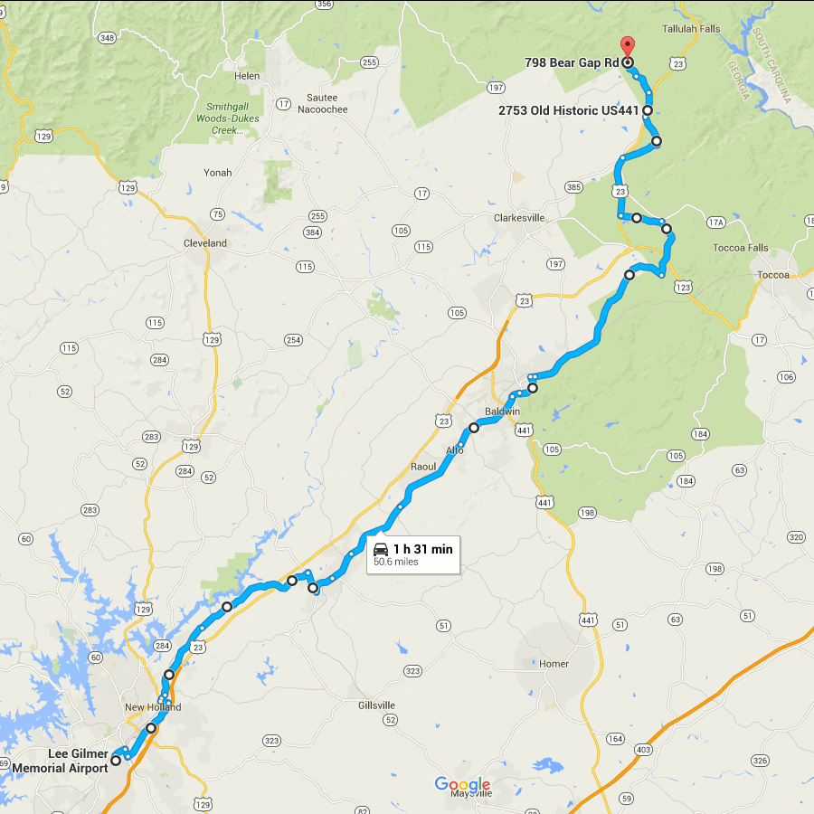
Picking up where the last one left off, this gets you out of the burbs and into the woods. At the northern end, it gets you into the mountains, even.

The route through Gainesville is rather arbitrary and I’m not sure how close it follows the divide.

You are pretty much running parallel to US 23 (when you are not actually on US 23) all the way.

The early parts of this route are very close to Lake Lanier.

From Lula through Mt. Airy, you are running directly beside the Norfolk Southern main line.

I have only been as far north on this route as Alto, so I can’t really say what the remainder of it looks like.

The end point here looks to be about as far as you can follow the ECD on public roads. From here, the ECD turns westward and generally forms the Habersham/Rabun county border until meeting the Tennessee Valley Divide at Young Lick.  I don’t see any roads that directly follow this ridge, not even dirt Forest Service roads. From Young Lick, the ECD continues north on the Appalachian Trail. At that point, following the divide becomes more of a matter of hiking than driving.

ecd3-fixed

Google Maps Link

Start on Aviation Blvd, continue east from last time
Right on GA 60
Left on West Ridge Rd
Right on Athens St
Left on East Ridge Rd
Left on Old Cornelia Highway
Right on US 129
Left on White Sulphur Rd
Left to stay on White Sulphur Rd
Left on Cagle Rd
Right on GA 52
Sharp left on GA 51
Continue onto Main Street (Lula)
Continue onto Gainsville Highway
Continue onto Old Cornelia Highway
Continue onto Willingham Ave
Continue onto Main Street (Cornelia)
Right on Highland Ave
Left to stay on Highland Ave
Continue on Chenocetha Dr
Right on Wyly St
Continue on Dicks Hill Pkwy
Left on Rock Rd
Left on Antioch Church Rd
Right on US 23/US 441
Right on John Wood Rd
Left on Tom Born Rd
Right on Old Historic US 441
Left on The Orchard Rd
Right on Bear Gap Rd

Eastern Continental Divide: Duluth to Gainesville

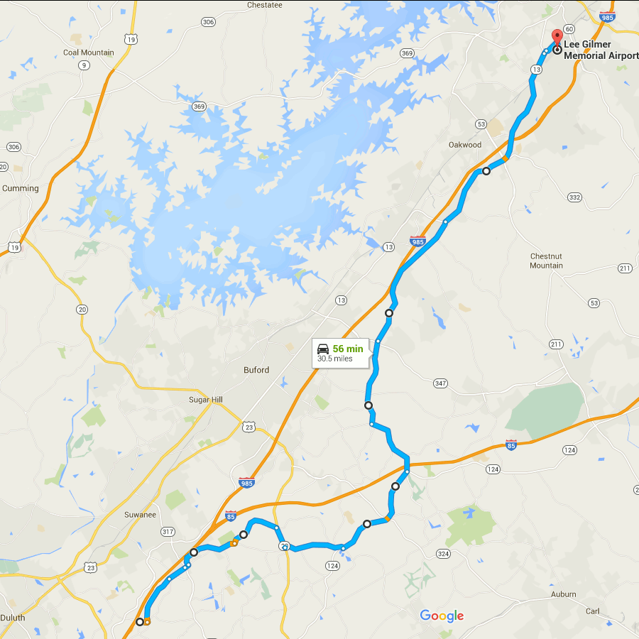
Picking up where the previous route through Atlanta ended, this follows the ECD (within the limits of road placement) through the northeastern metro area. To be honest this is a rather boring drive through the suburbs. You can skip to the next post to pick it up where things get mildly interesting again.

The earlier part has some shenanigans with Old Peachtree Road, leaving it without turning and turning to stay on it at different points.

The segment on GA 20 is an area where no road follows the ECD. If you look close at a topo map you’ll see this section crosses a creek, not something you’ll see when following a ridge line.

The segment on GA 124 passes the site of Ft. Daniel, one of the original endpoints of the trail that became Peachtree Road.

The GA 13 portion mostly runs closely parallel to I-985.

Gainesville’s airport is an arbitrary stopping point dictated mainly by limitations on the number of route modifications that Google Maps allows you to make.

ecd2-fixed

(Aside: notice how close the divide is to Lake Lanier? The western edge of Lake Lanier’s drainage basin is also visible on this map, over near GA highway 9. The lake is really not very far at all from the boundaries of the area drained by it.)

Google Maps Link

Start at Old Peachtree Rd and I-985, go east
Left on Northbrook Pkwy
Continue on Old Peachtree Rd
Continue on Horizon Dr
Left on Old Peachtree Rd (yes, again)
Left on Rock Springs Rd
Right on GA 20
Left on Old Peachtree Rd
Left on GA 124/Braselton Hwy
Left on Hamilton Mill Rd
Right on Ridge Rd
Continue onto Hog Moutain Rd
Right on GA 13
Right on Industrial Blvd
Right on Aviation Blvd

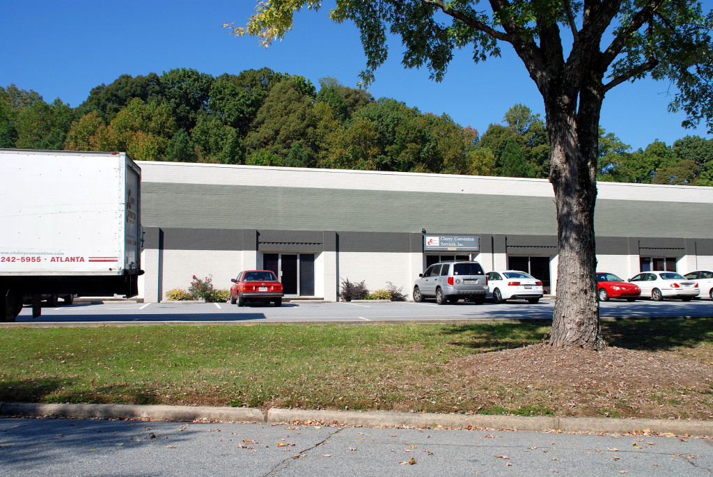
Lynyrd Skynyrd’s recording studio is now an anonymous warehouse in Doraville

Per Wikipedia:

Studio One was a recording studio, located in the northern Atlanta, Georgia suburb of Doraville. The address was 3864 Oakcliff Industrial Court, Doraville Ga 30340. It is now occupied by a non related business and used as a warehouse.

Check out the list of albums recorded here, it includes not only four Lynyrd Skynyrd album but also probably the earliest recording featuring Ronnie James Dio on vocals.

In the 1970s and 1980s Doraville was a haven for blue-collar white Southerners, aka rednecks. This was gone by the early 2000s, as much of the original population was displaced by immigrants.

This is what the address on the wiki page looks like today. I almost have a hard time believing it. The red car in the center of the picture is parked next to the door of number 3864.

DSC_0273a

Union Hill Road: Cemetery, Ghost Roads, Skeleton Houses

Sometimes I use Ronald Reagan Blvd as an alternate to GA 400 between exits 11 and 12. This road goes through mostly vaporware developments – planned subdivisions, some of which don’t seem to have even started construction, others seem to have had some grading and nothing else. Lots of places where they put it in a turn off of the main road but it just dead-ends into a field. That sort of thing. This is literally where the streets have no name.

Recently I noticed, off to the west side of the road, what appeared to be a graveyard on a hill overlooking a construction zone. I decided to try to find it.

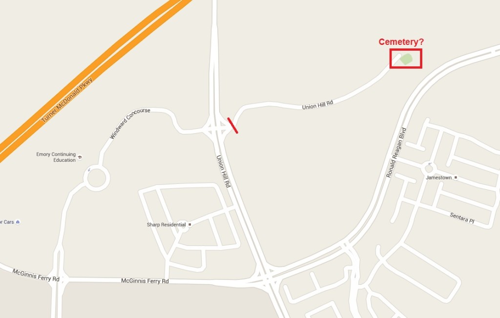
Now, on the map, it looks like you can get there via Union Hill Road:

unionhillrd

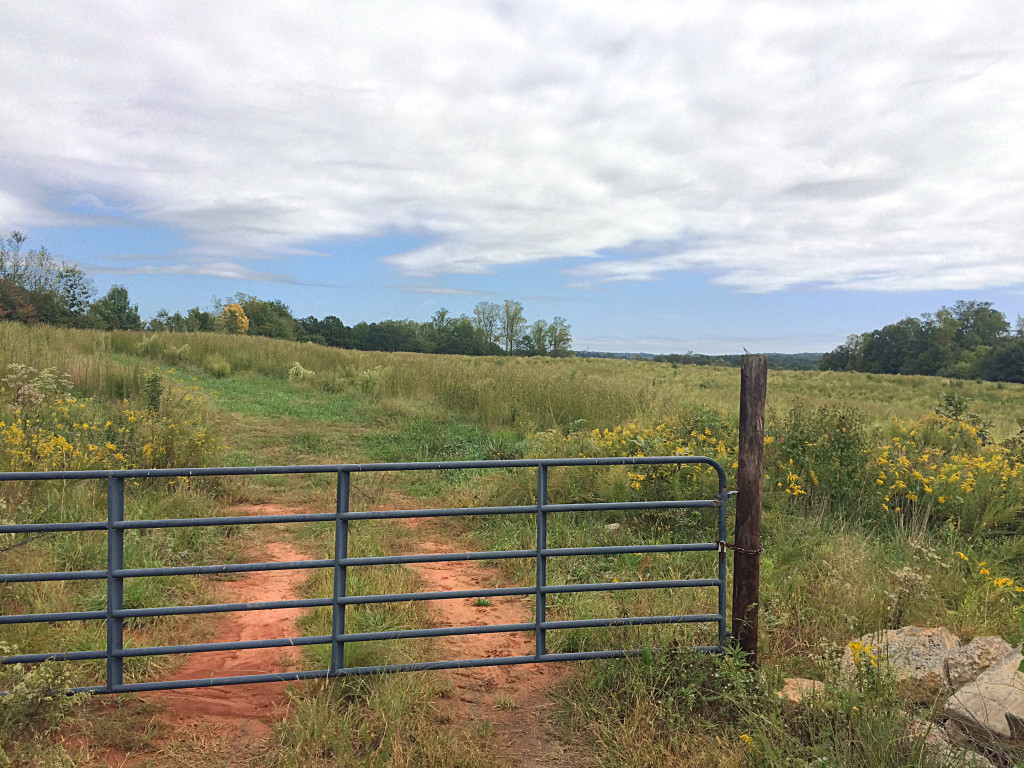
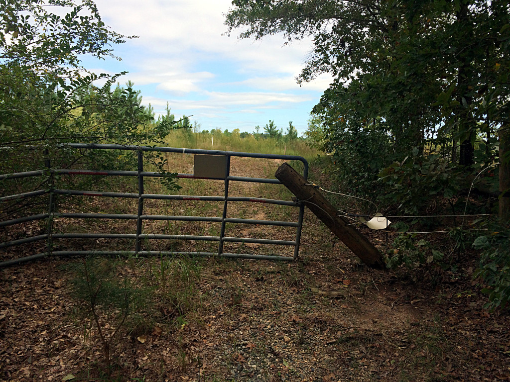
But, where I drew that red line across the road, that’s where you find this gate:

IMG_7965

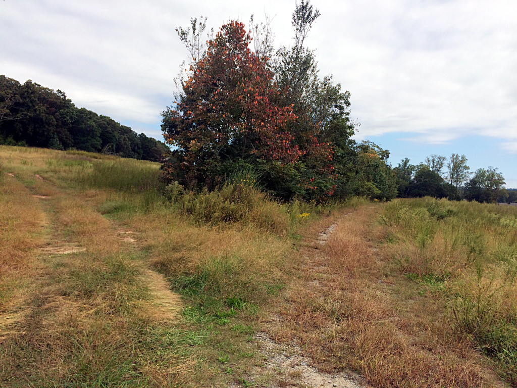
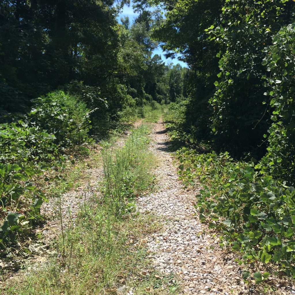
So, clearly I’m not driving there. It was a nice day for a walk, though. You can  of see some traces (as in the next photo, on the right path) that this road was once paved, but the pavement is very much going back to nature. Maybe it will someday again be paved. I hope not.

IMG_7966

At the end of the road is another gate. This one has a “no trespassing” sign but the sign is facing the other way from where I came. I don’t know who they are trying to keep out from that direction.

IMG_7970

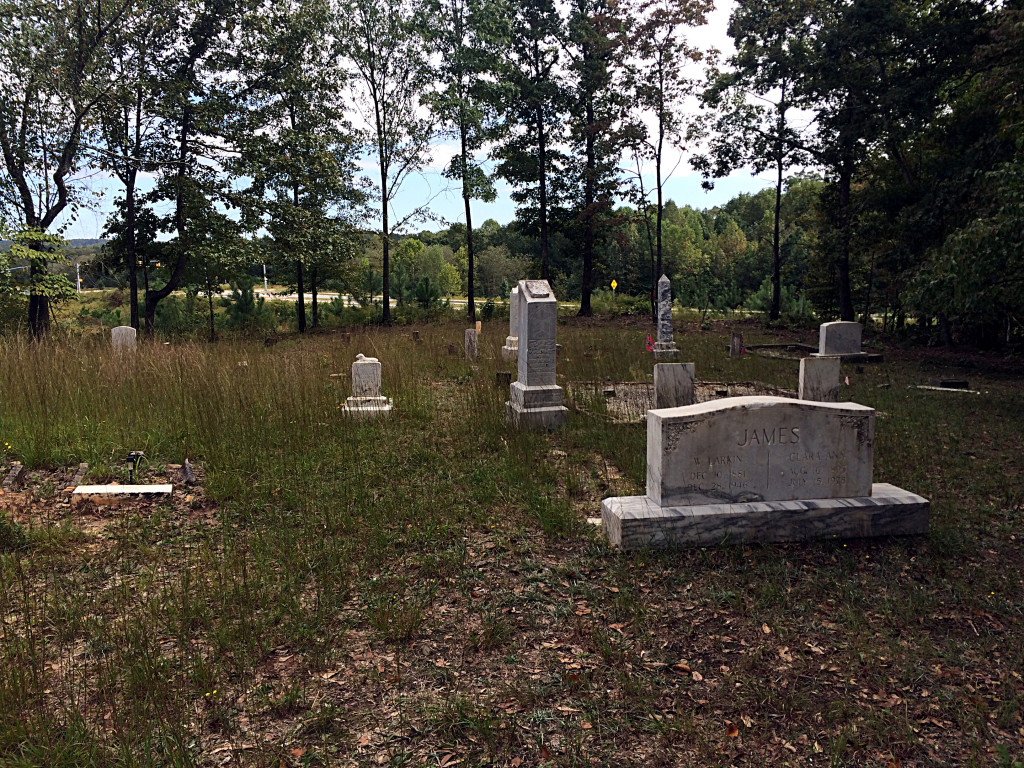
Beyond the gate is the cemetery:

IMG_7971

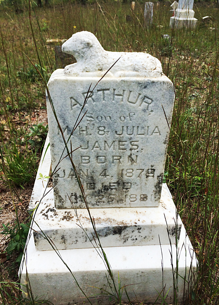
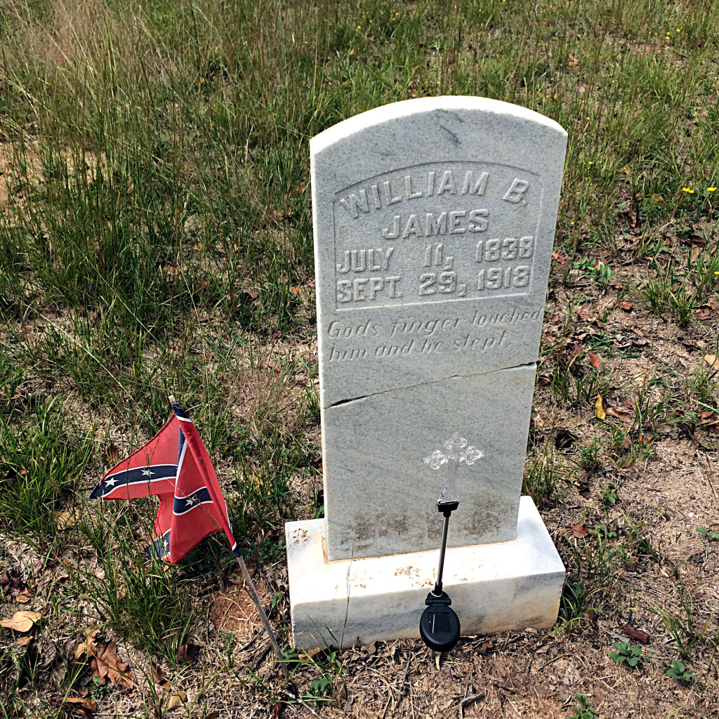
Most of the graves seem to belong to a James family, and on the topographical USGS map this is in fact marked as “James Cem”. The most recent date I saw was 1978, but they are mostly 19th century dates. Confederate flags are planted next to several that are Civil War era.

IMG_7974

IMG_7977

This graveyard clearly is still maintained, someone cuts the grass here and those flags look pretty new.

After this, I decided as a bonus to explore some nearby old houses back on the road.

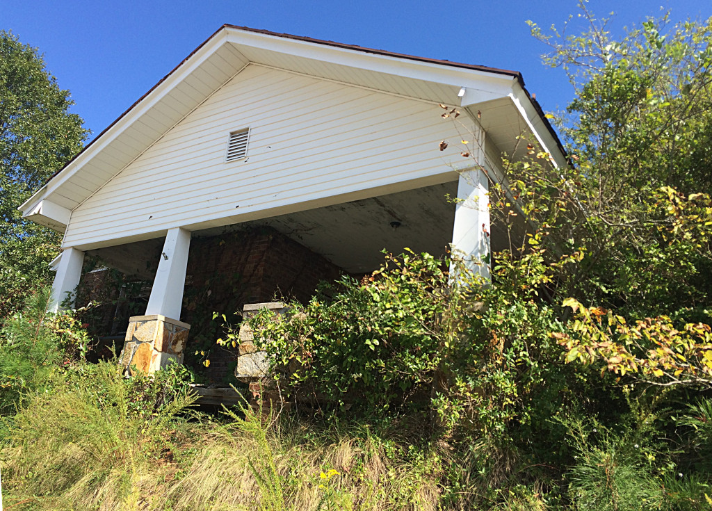
This is all that’s visible from the street, and really gives no clue:

IMG_8009

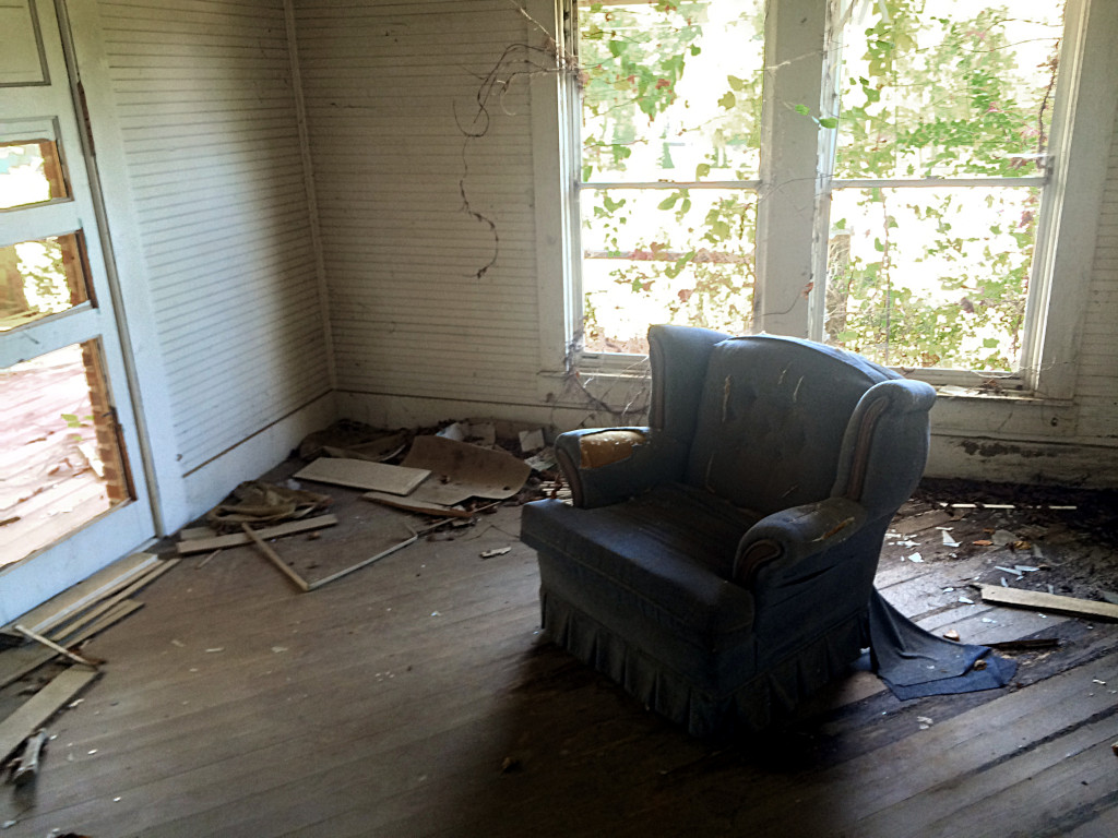
The inside of this building has some graffiti, but even that is dated from 2001!

IMG_7999 IMG_8002

Dig this chair!

IMG_8004

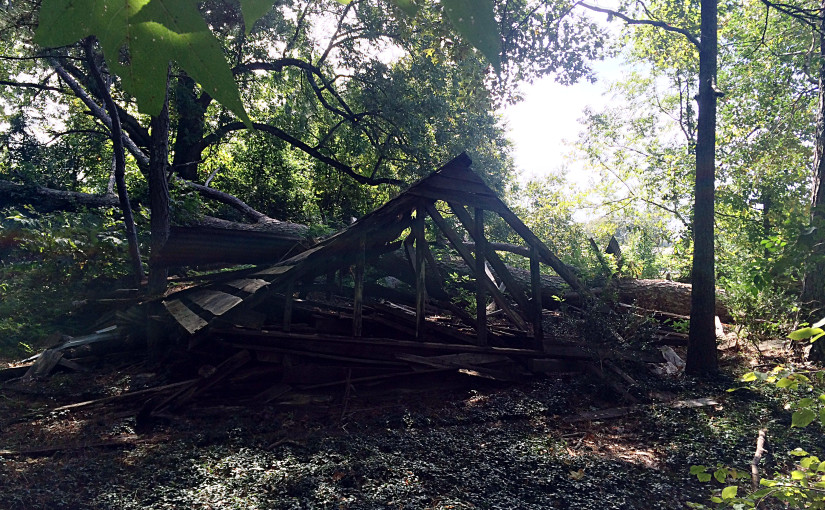
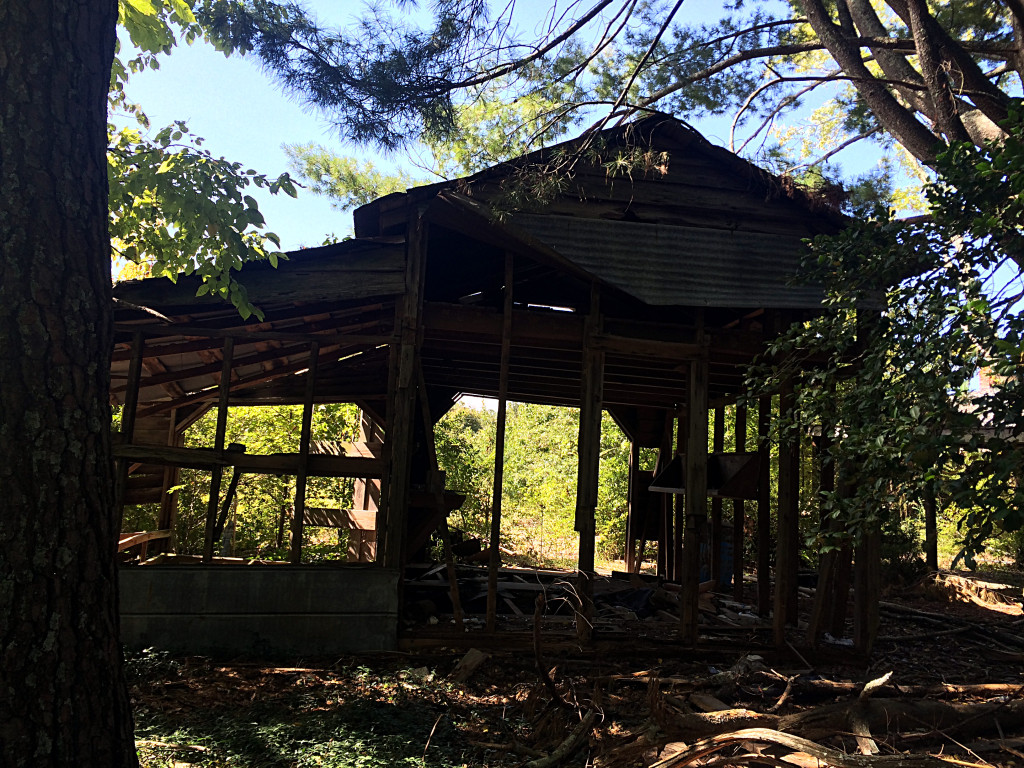
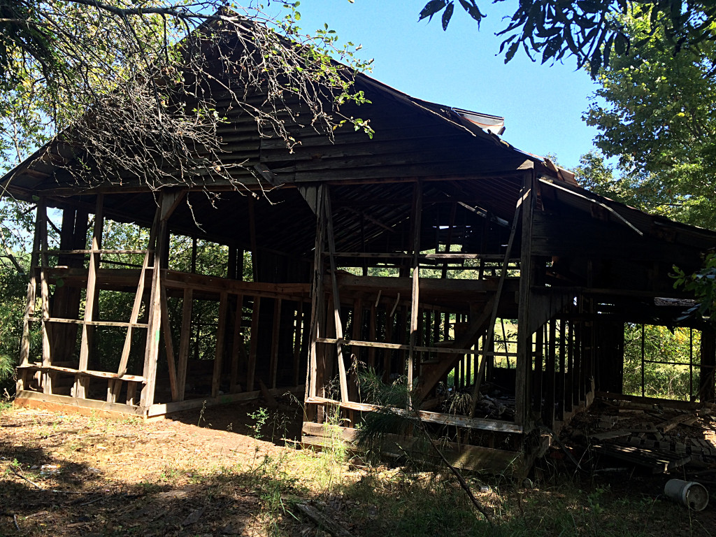
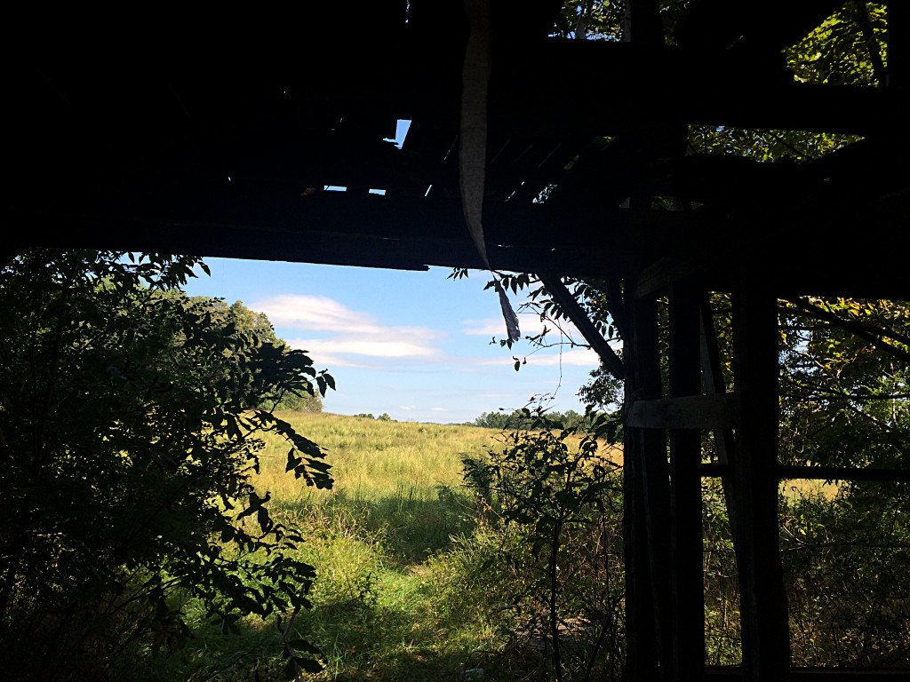
The adjacent buildings here are nothing but frame. Only a little bit of siding remains, someone has removed the rest of it.

Now all the remains is the “bones”, facing out over the empty field.

IMG_7985

IMG_7987

IMG_7990

All those new neighborhoods being built nearby, some of those people in those houses must have kids. I hope those kids run around unsupervised in these fields and these woods and ruins, trespassing and risking injury. One can dream.

Flickr Album of these photos

Bayou La Batre and Coden

This is the first time I’ve posted anything of my hometown on this blog since I restarted it on WordPress.

On a recent visit “home”, I went around Instagramming not the usual sights of the town (that is, boats and the water) but other aspects.

Schambeau’s

“S” logo on the sidewalk in front of the old Schambeau’s store. Schambeau’s, or Crum’s as the old folks called it (the propreitor was A. C. “Crum” Schambeau) was one of the most important businesses in town. They sold groceries, hardware, lumber, paint, you name it.
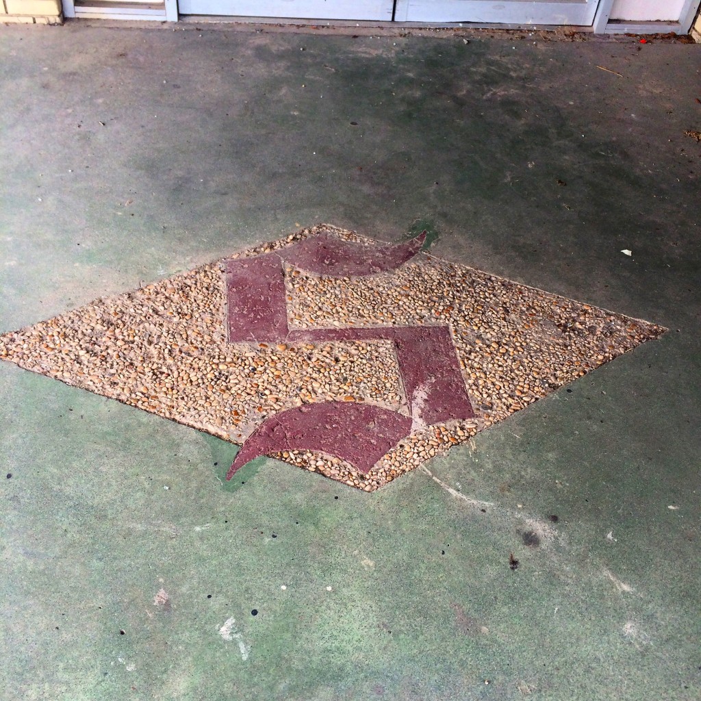
IMG_7854.JPG
Schambeau’s was one of the two main sources in town (along with Modern Drug, not pictured but believe me it was not very modern at all) for comic books, an essential ingredient of late childhood and early adolescence in the 1980s as now.

If you had to go to the bathroom in Schambeau’s, you had to go back behind the meat department and up a set of stairs, past the office where Mr. Crum did his accounting on some kind of electromechanical monstrosity of a 1960s calculator, to a single unisex toilet with an oddly religious painting decorating the wall.

That isn’t remotely all there is to say about that place.

The Yellow House

This next picture was a house around the Coden Belt road that, back in the 80s and early 90s, was (per my mother) a boarding house where all the known homosexuals in town lived. The landlord was another one of the Schambeau family. I assume the house reached this state of disrepair from Hurricane Katrina. According to my mother, this photo is of the wrong house, the correct one is the other (also yellow) house next door.
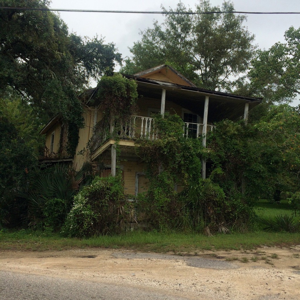
IMG_7851.JPG

This is what the dirt lane beside that house looks like:
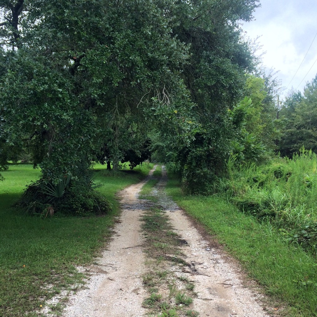
IMG_7852.JPG

The Shell Fence

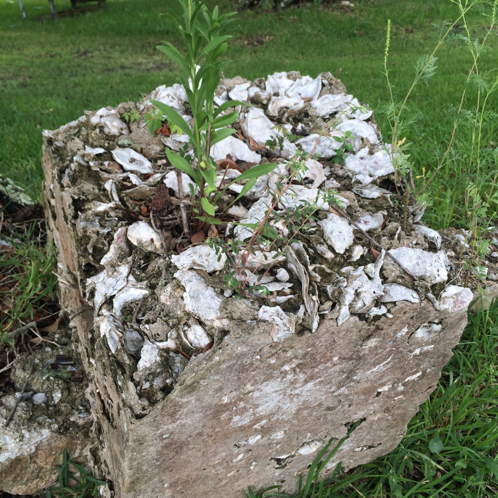
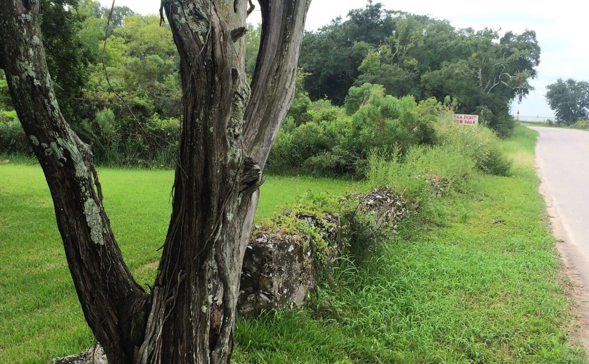
Just down the road a piece is the place with the oyster shell fence. This was, I am told, once a common local building material – there was once a “shell house” in town made entirely of it.

IMG_7850.JPG

IMG_7805.JPG

IMG_7809.JPG

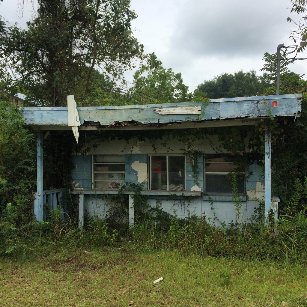
Coden Drive-In

The “Coden Drive-In”. You need to understand that “Coden” is pronounced something like “Code-Inn”, so the name of this place rhymed. The building got like this from Katrina but I don’t remember if it was in business right up until then or not.
IMG_7848.JPG

There wasn’t much to do in Bayou La Batre and Coden back in the late 70s and early 80s, so my family’s idea of a fun evening when I was about 5 years old was to come to this place and get ice cream cones, and then go driving around watching the sun set on the bay while we ate them.

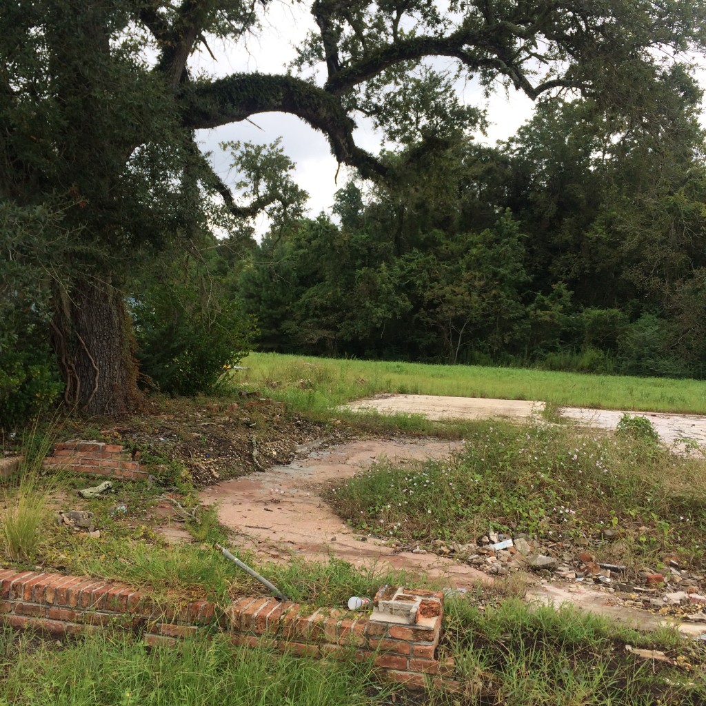
The Catalina

The ruins of the old location of the Catalina seafood restaurant, which everybody called “Ory’s”. The restaurant was closed for years after the hurricane but now is open in the old Schambeau’s building:
IMG_7817.JPG

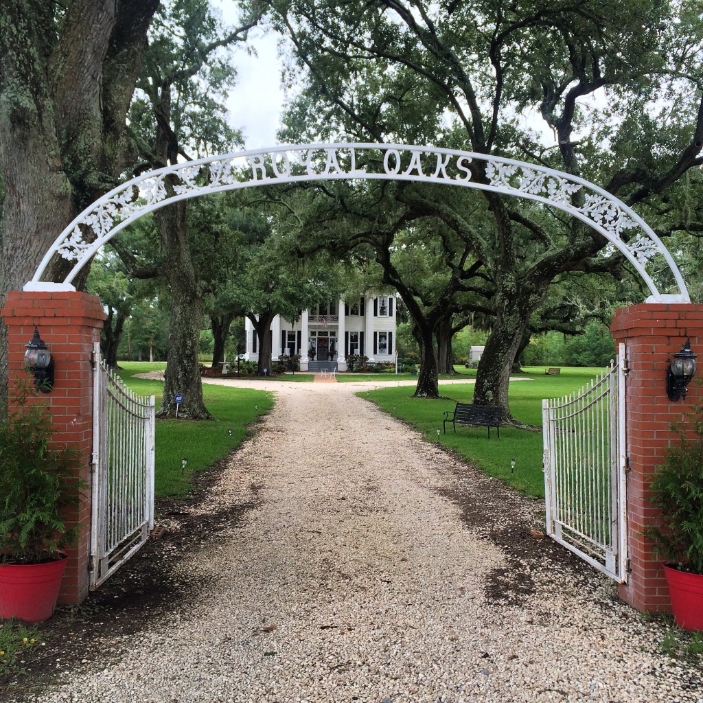
Royal Oaks

“Royal Oaks” is one of the few remaining homes from Coden’s days as a seaside resort in the l890s. This period of prosperity was ended by disastrous hurricanes in 1906 and 1916. They had no names then, just “the 1906 storm”.
IMG_7849.JPG

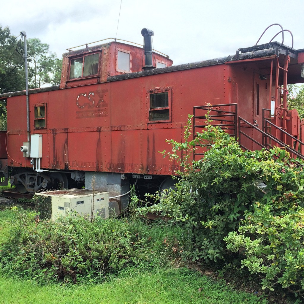
Peter F. Alba School

And now, Alba. The school where I spent the blerst of my childhood. Now only a middle school, in my days Alba served  kindergarten through 12th grade.

This caboose was installed when I was in high school. No predecessor of CSX ever ran to Bayou La Batre. (The only railroad in town, long since gone, was the Mobile and Bay Shore, a Mobile and Ohio subsidiary. If it had not been abandoned or sold, it would be part of Canadian National now.)
IMG_7847.JPG

All of Alba’s “portables” – that was what they called a classroom trailer back then, a “portable” classroom – are gone. I don’t know if the hurricane got them, or if the school wasn’t crowded enough to need them anymore after the new schools opened and took most of the students. Now this was once a covered walkway that kept students out of the rain on our way to class, now it is just sitting in the middle of nowhere.
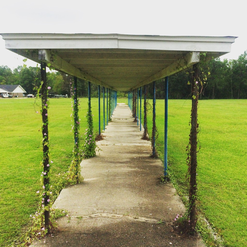
IMG_7840.JPG

This was the satellite dish that we used to receive “Channel One” broadcoasts in the 90s:
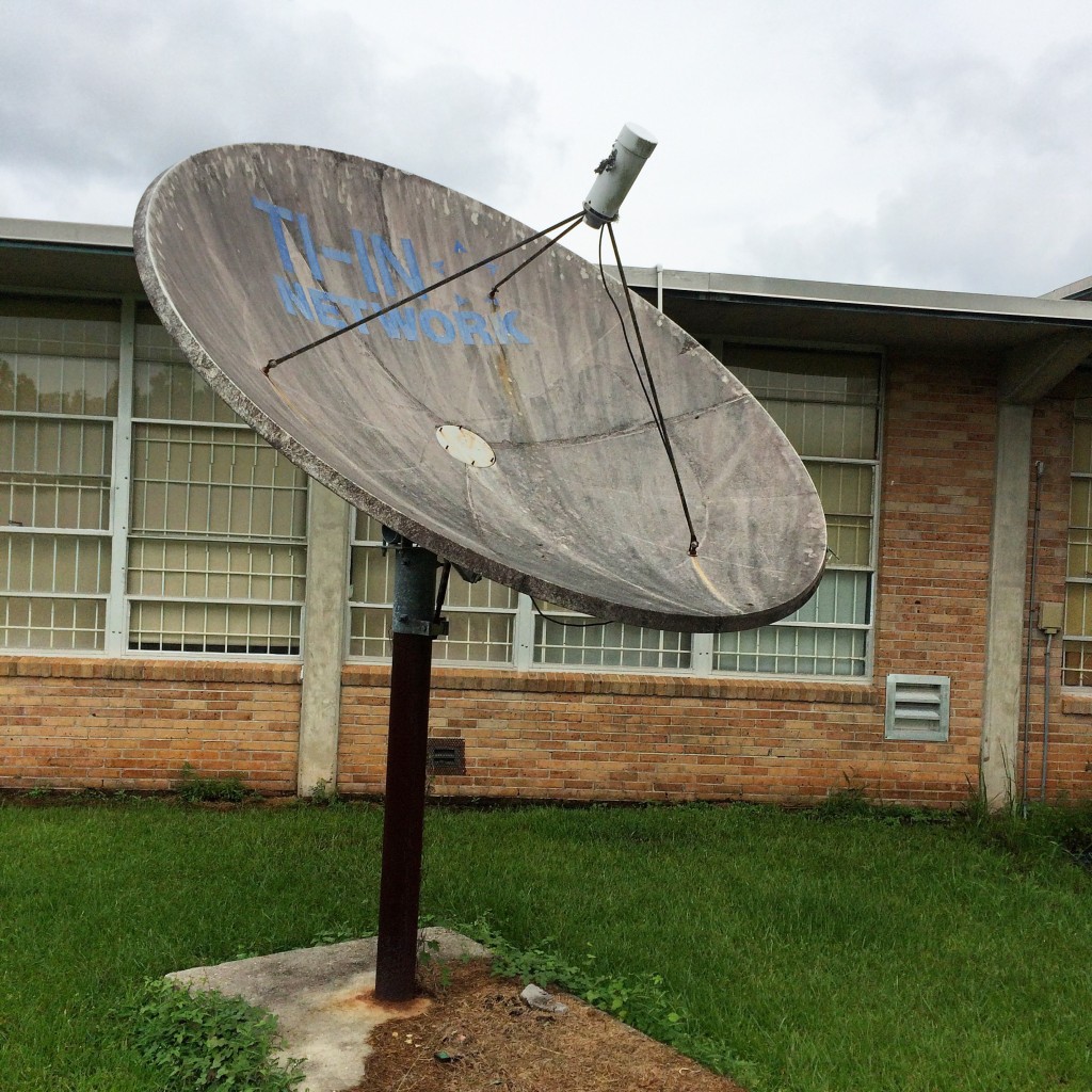
IMG_7846.JPG

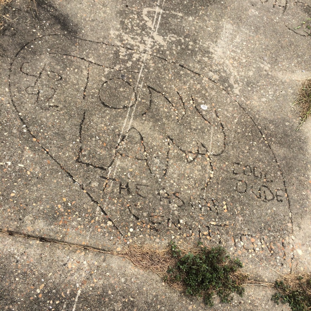
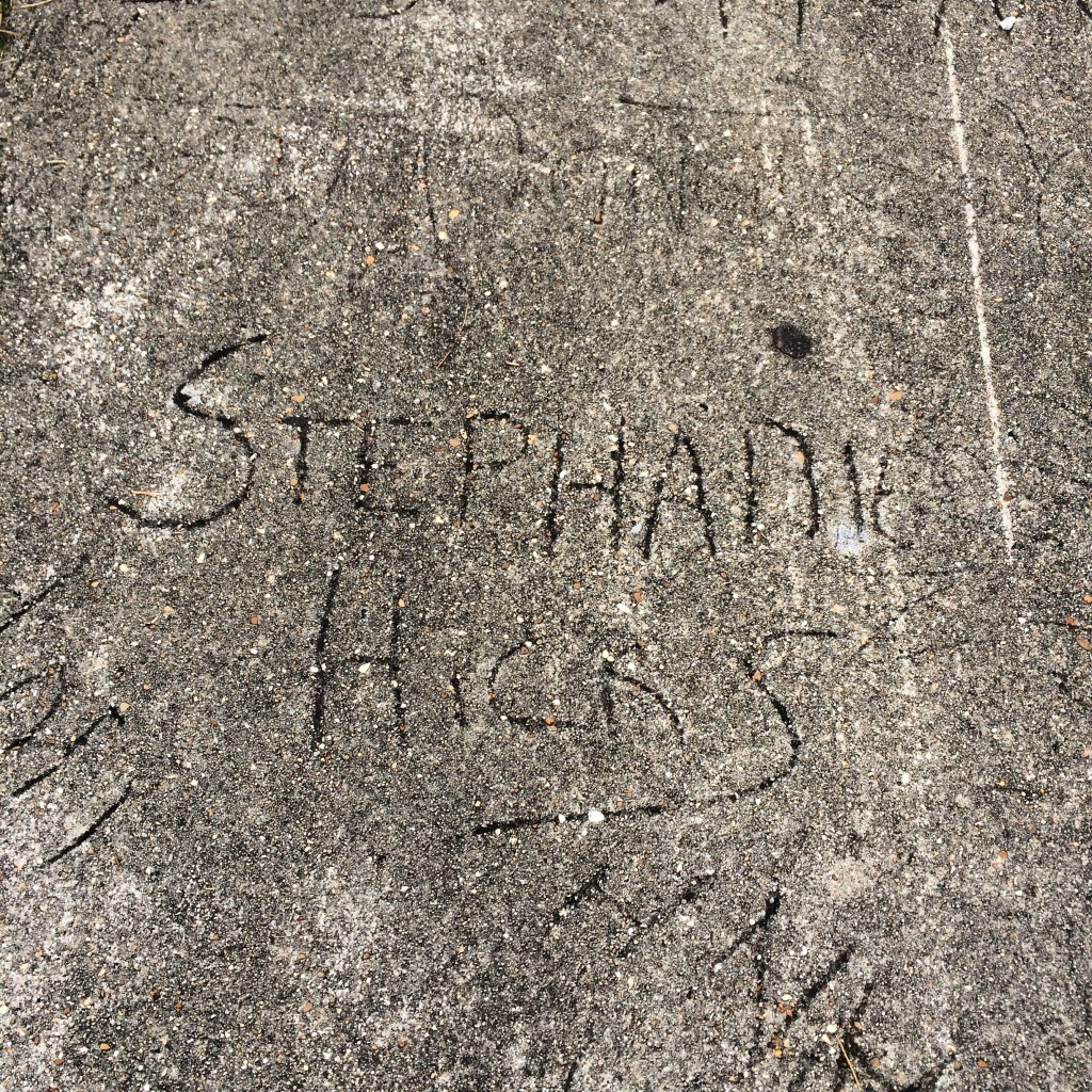
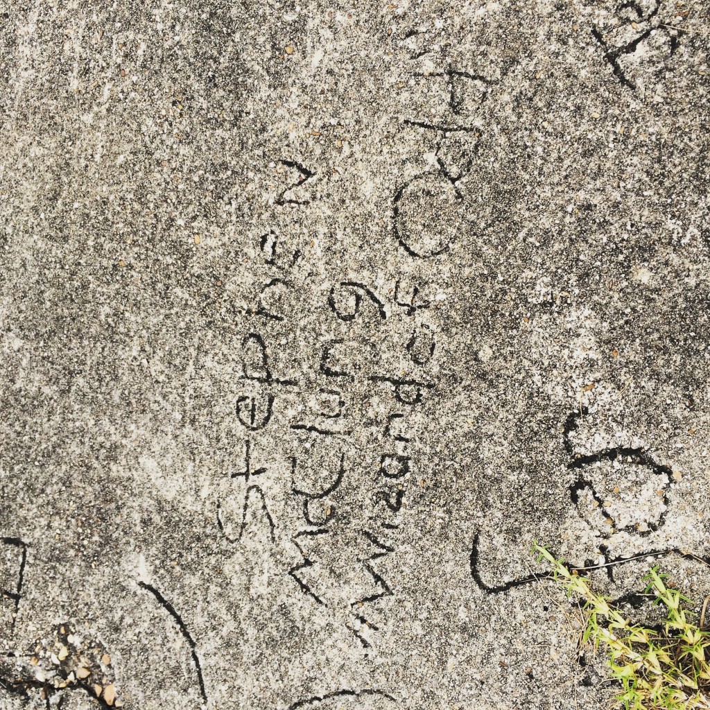
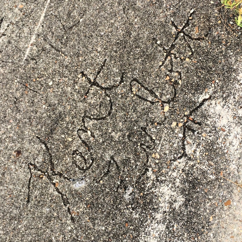
And now, the Walk of Fame of 1991. That year, the school put in a new sidewalk and allowed students to sign it. I looked and looked for my own name, but could not find it. I know almost all of the names as people I went to school with though.
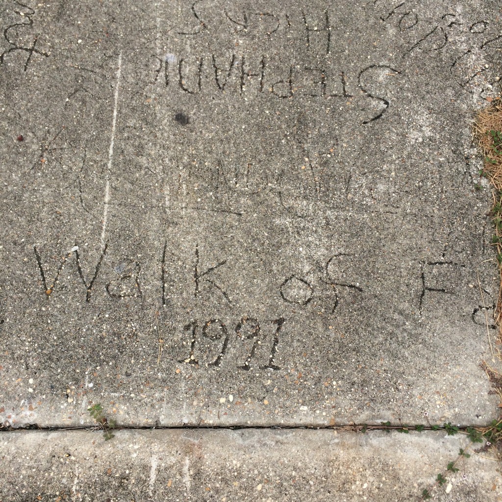
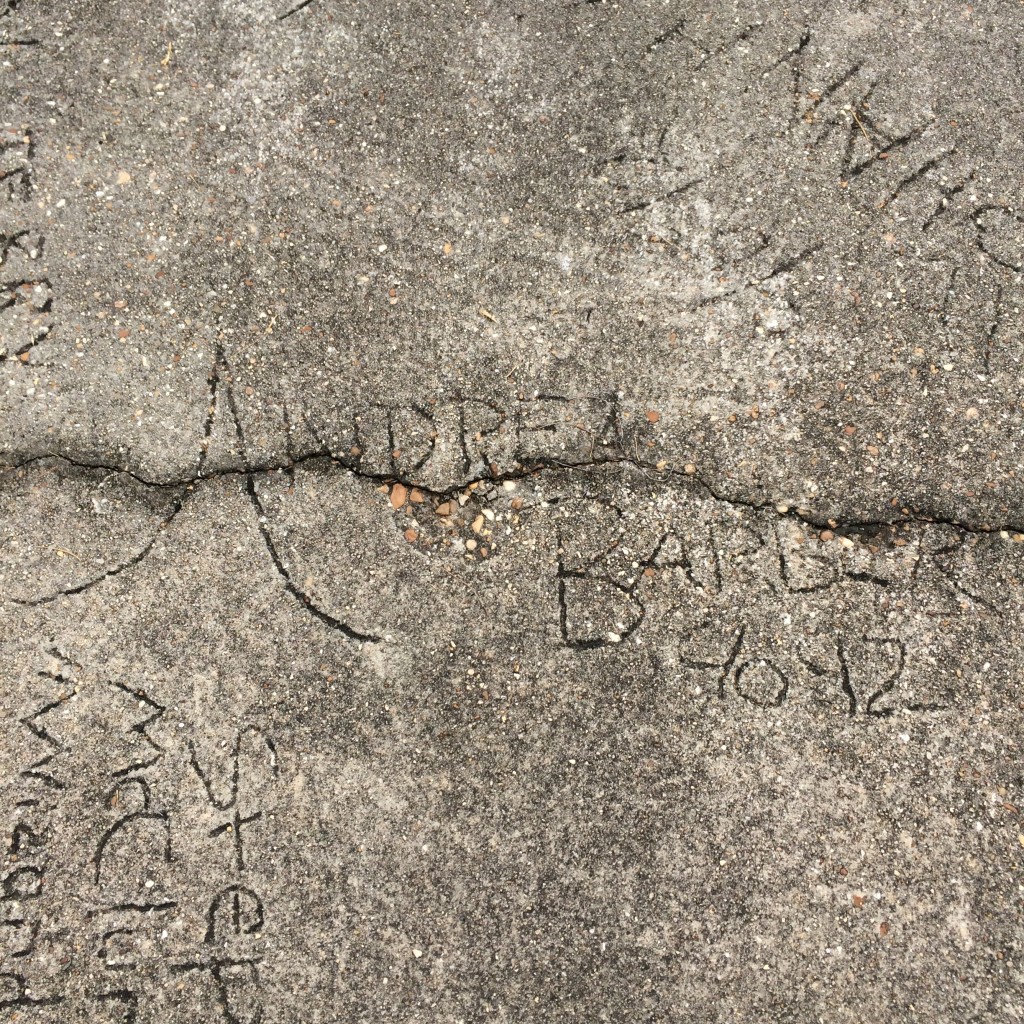
IMG_7827.JPG

IMG_7830.JPG

IMG_7842.JPG

IMG_7844.JPG

IMG_7845.JPG

IMG_7843.JPG

Tunnel Springs, Alabama

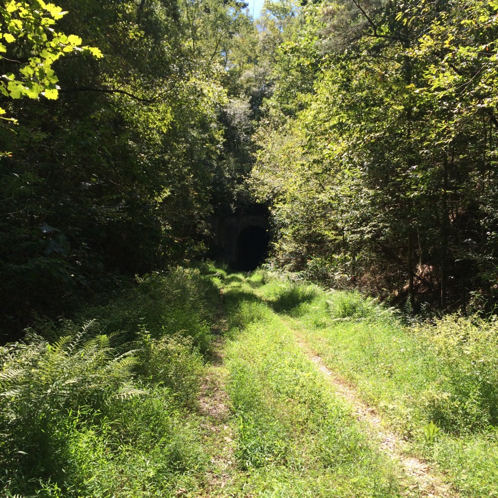
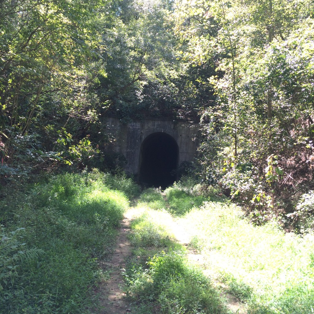
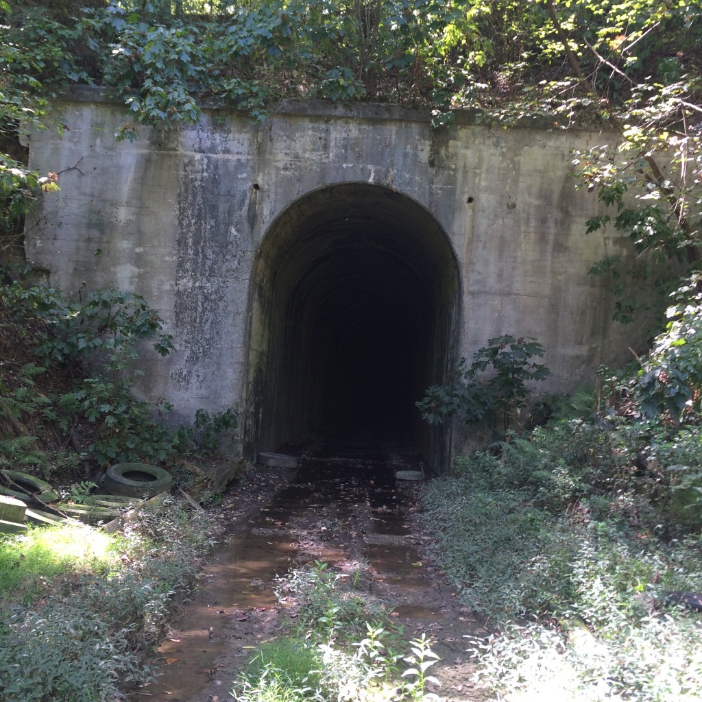
Near the town of Tunnel Springs in southwest Alabama is a feature normally reserved for more mountainous areas: a railroad tunnel, abandoned for years, and relatively easy to find.
The tunnel is located up the abandoned line past the north end of what is now the Alabama Railroad. Wikipedia gives us the date of construction of the tunnel as 1899:

The route of the Alabama Railroad was originally constructed over several years (between 1880–1901) as the Pensacola & Selma Railroad and quickly became a part of the Louisville & Nashville Railroad network. The original line proceeded north from Corduroy, Alabama to Selma, Alabama. That portion of the line was abandoned by the Seaboard System prior to the merger with CSX in 1986. There was also a L&N branch that went to Camden from a junction just northeast of Corduroy that was abandoned prior to the merger into the Seaboard System in 1986. The remainder of the line north of Peterman, Alabama was abandoned approximately 1994 to include an 800+ foot tunnel built in 1899 located at Tunnel Springs, Alabama.

This should not be confused with the similarly-named and situated Alabama and Gulf Coast Railway, the former Frisco line only a few miles to the west.

As I’m always looking for things to do on that long stretch of Nowhere, Al, between Mobile and Montgomery, I decided to go find it. After looking at some topo maps, I got a pretty good idea of where it was.

This link in Google Maps gets you to a location where a trail that used to be the tracks crosses the road:

https://www.google.com/maps/place/31%C2%B040’19.7%22N+87%C2%B013’21.4%22W/@31.672144,-87.222623,18z/data=!4m2!3m1!1s0x0:0x0

From there, I walked south along the railroad. There were no ties or rails left on this part of the railroad, making a smooth walk.

IMG_7867.JPG

Obviously by the ruts in the ground, people drive off-road here a lot, so if you have a 4×4 you could just drive right to the tunnel.

Getting close to the tunnel:

IMG_7869.JPG

Nearing the tunnel entrance, the trail gets pretty muddy. You have been warned.

IMG_7872.JPG

This picture, you can kind of see how much water is right in front of the tunnel.

IMG_7874.JPG

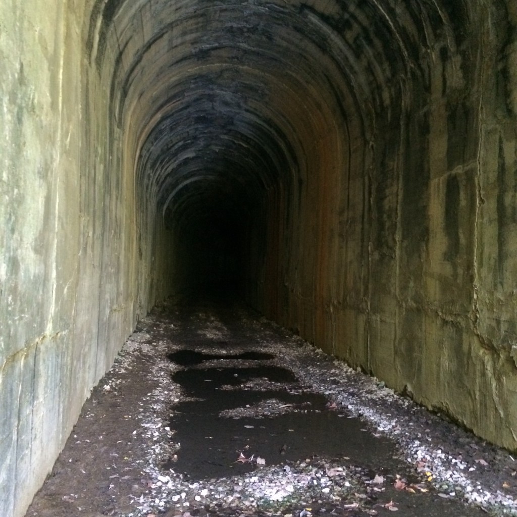
It’s actually drier inside the tunnel itself.


IMG_7876.JPG

I walked far enough to see daylight from the other end, and then turned around.

The ceiling is home to a large number of bats. The sound of them chirping is quite loud, and the whole place smells like guano.


Sargent, Georgia

“Never go in there again!” – a longtime Newnan resident after being shown these pictures and recognizing the location.

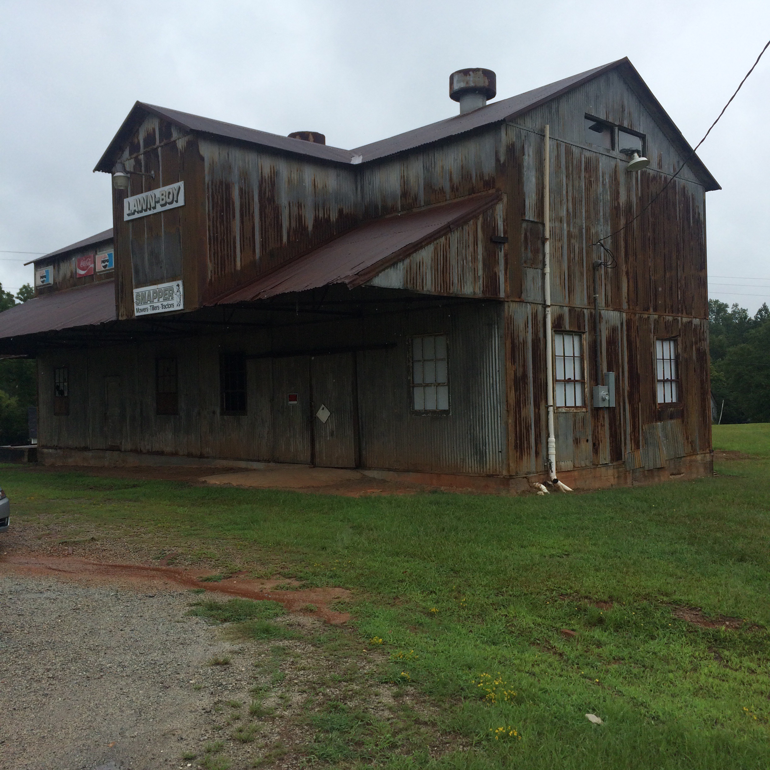
 This old place looks to be some kind of workshop. I did not mess around it other than peek in the window.  

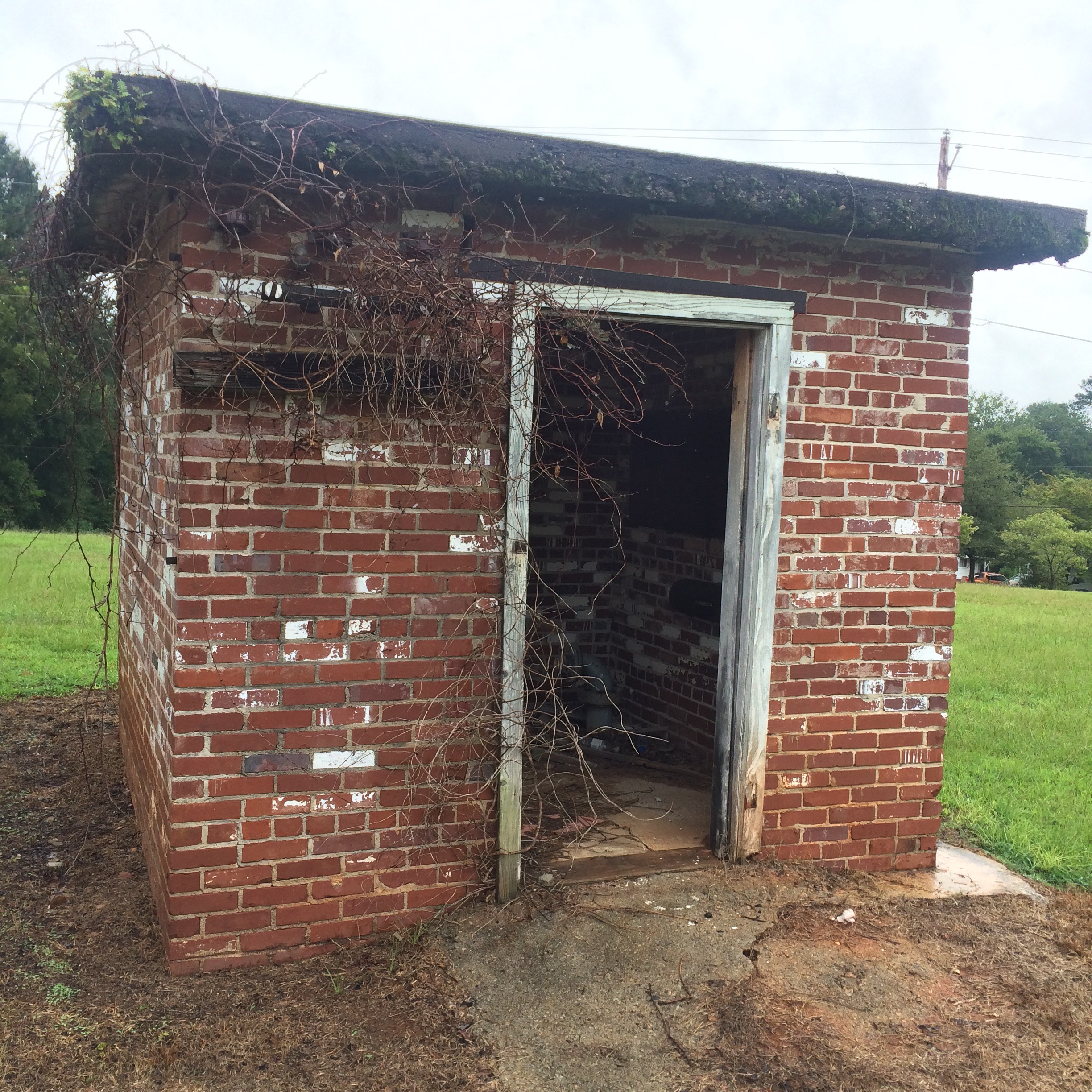
I’m guessing this was a pump house.  Looks about the size of the pump house at my Nana’s old place anyway.  

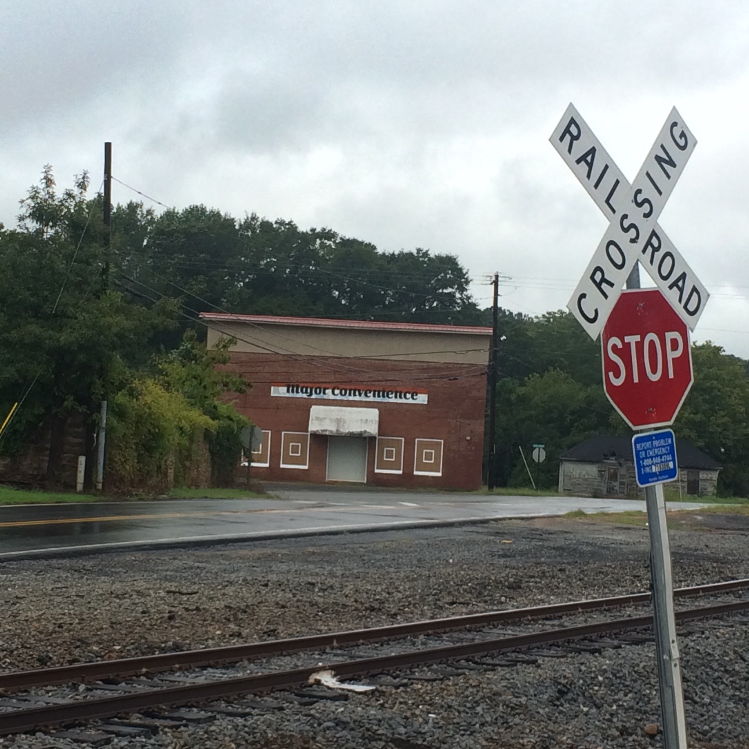
All this stuff is right by the NS railroad but I didn’t see any trains.


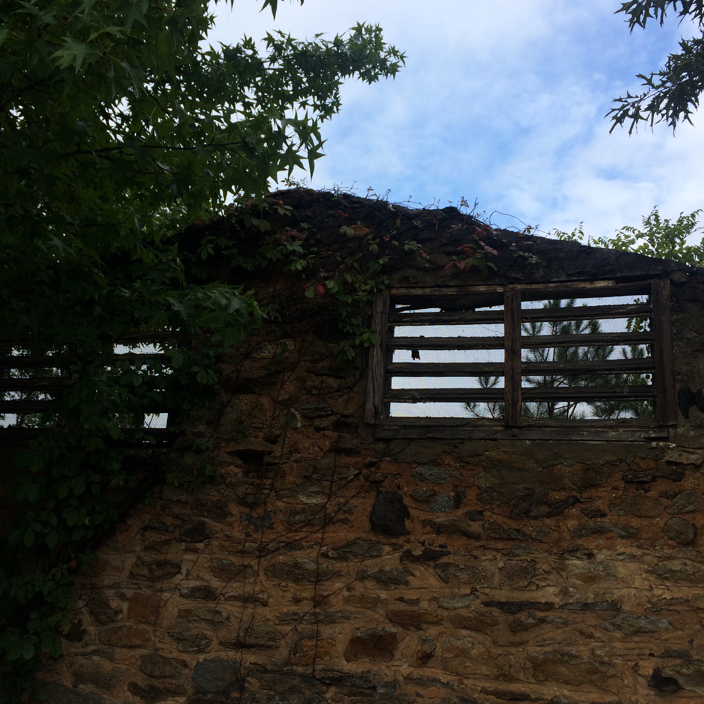
This structure whatever it was, has no roof is just stone walls now.


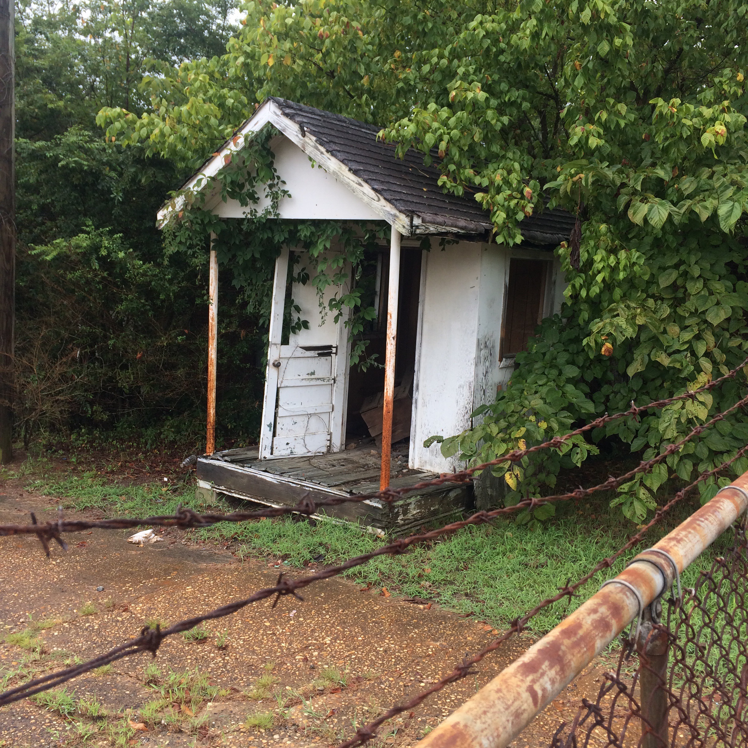
And then there’s this place. An old guard house I guess.
  

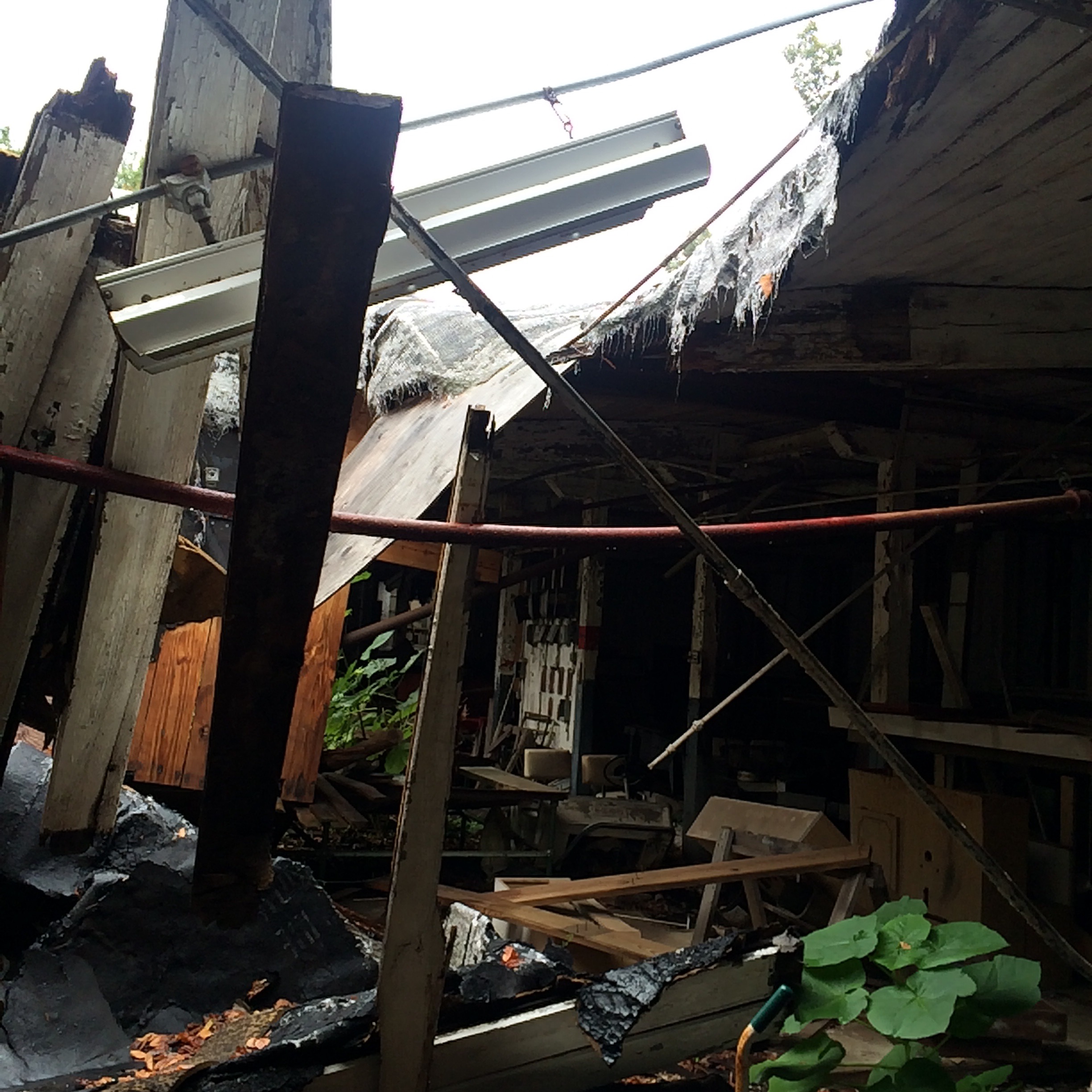
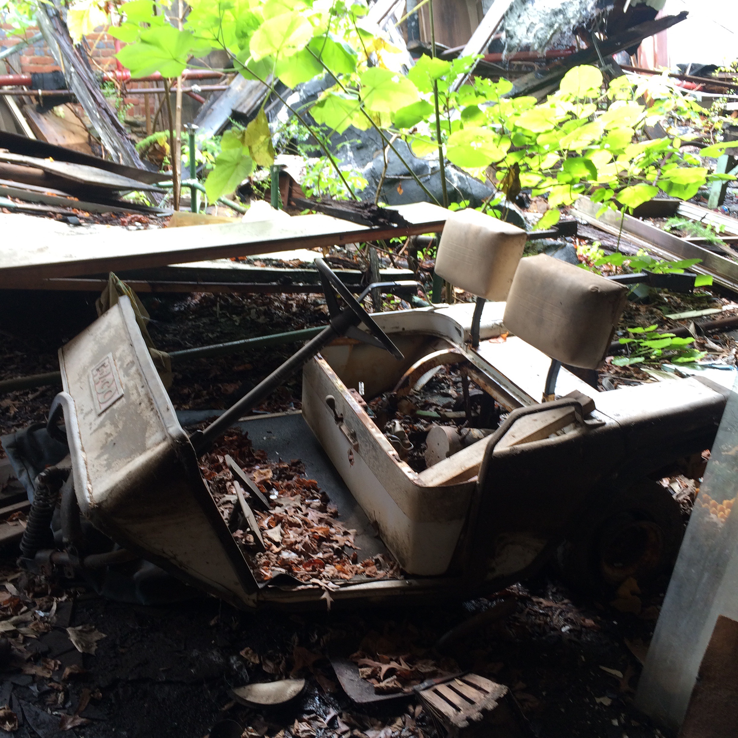
And this is what it was “guarding”. A partially collapsed warehouse full of random shit. 


I shined the light from my phone into this door but it still was too dark to see anything beyond it.


That cemetery on Old Alabama Road

This was probably a lonely rural crossing of two dirt roads when the few local residents started to bury their dead here. Now it is jammed into a weird triangular lot surrounded by busy streets on all three sides. You may have driven past it.

I wonder at what period of history was Old Alabama Road actually the main way to get to Alabama.

Rainey is one of the names seen frequently here.

IMG_0562

Notice above, James A. Rainey appears to have outlived his wife by nearly 50 years. Long enough for tombstone design fashions to change quite a bit. Its fun to notice stuff like this. Did Mr. Rainey ever remarry? He was a very young widower, and he lived a long time afterwards. If he did remarry, I bet his second wife and their children are buried here too.

This grave of “2 infant daus. of Mrs. & Mrs. Bud Rainey, 1909” is surrounded by a type of moss that wasn’t growing anywhere else.

IMG_0609

Another common name is Garmon.

IMG_0592

IMG_0578

Most of the graves appear to be cared for, but a few are in tall grass and one headstone had fallen over off its base.

IMG_0582

IMG_0587

Some no longer have markings of any kind.

IMG_0570

IMG_0577


IMG_0600

Lastly, I have no idea if this that looks like a rock set up in the ground is a  primitive headstone for a very old grave, or just.. a rock. I also have no idea why someone left this bag next to it. I’m not sure I want to know.

IMG_0605


Forgotten and forbidden trails and parks of northwest Atlanta

Fort Peachtree

On Sunday I decided to visit the recently (2014) reopened Fort Peachtree park at the mouth of Peachtree Creek on the Chattahoochee. (Google maps link)

This park had been closed since sometime after 9/11/01 (or maybe even the 1996 Olympics) due to the threat posed by terrorists to the Atlanta River Intake, where the city draws water from the river. It is also very close to the R. M. Clayton sewage treatment plant and to Georgia Power’s “Plant McDonough” coal burning power plant.

There had once been at the Fort Peachtree park a recreation of the War of 1812 fort. This was built for the 1976 US Bicentennial. I have no idea if it still exists, as wherever it was is still not accessible.

What is accessible is the ability to drive through a scary looking “authorized personnel only!” gate on Ridgeview Road which now sits open from 8am to 8pm, and park next to small picnic pavilion and follow a trail down to the river.

You can stand at the mouth of the creek and try to imagine the Indian village of Standing Peachtree, but it’s not easy. The area is now dominated by chain link fences, “no trespassing” signs, and concrete industrial structures. The smell of sewage is inescapable.

On the other side of Peachtree Creek I noticed some men fishing in the Chattahoochee and could not see a way to get to where they were. There is no bridge over the creek downstream of Ridgeview Road. I tried calling to them but they did not hear.

Chattahoochee Trailway

After leaving the park, I went and stood on the sidewalk of the Marietta Blvd/South Atlanta Rd bridge, looking at the river and the nearby rail bridges. Directly below me on the Fulton County side of the river I could see a concrete path, and lo and behold a worn footpath down the riverbank from the road to it. I hopped over the guardrail (it’s there to stop cars not people right?!) and scrambled down the bank.

What I found was a bike trail that I had memories of seeing around 2000, and which had also (I have since confirmed directly with the PATH foundation) been closed because of “terrorism”. Remaining signage called it the “Chattahoochee Trailway”. There is almost nothing about this trail on the Internet. Not on the PATH website, no newspaper articles about its closure, it is almost like it never existed.

The other end of the trail was where it had once been accessible from Marietta Road, only this part of Marietta road was no longer drivable, being gated off much further from the river. The old barriers to keep motor vehicles off the trail remained.

Now it was possible to walk around this stuff and follow the road further downriver. I decided to go ahead, since I probably could not get in any worse trouble than I was already in. Don’t try this at home kids, and all that jazz.

It lead to a view of the CSX railroad bridge, with Plant McDonough visible across the the river, that cannot be had any other way.

Returning to the trail, I followed it back under the road bridge to the old Seaboard Air Line rail bridge, and in doing so I met the men I had seen earlier fishing. They seemed concerned that I had “caught” them, as if I was someone who was supposed to be here.