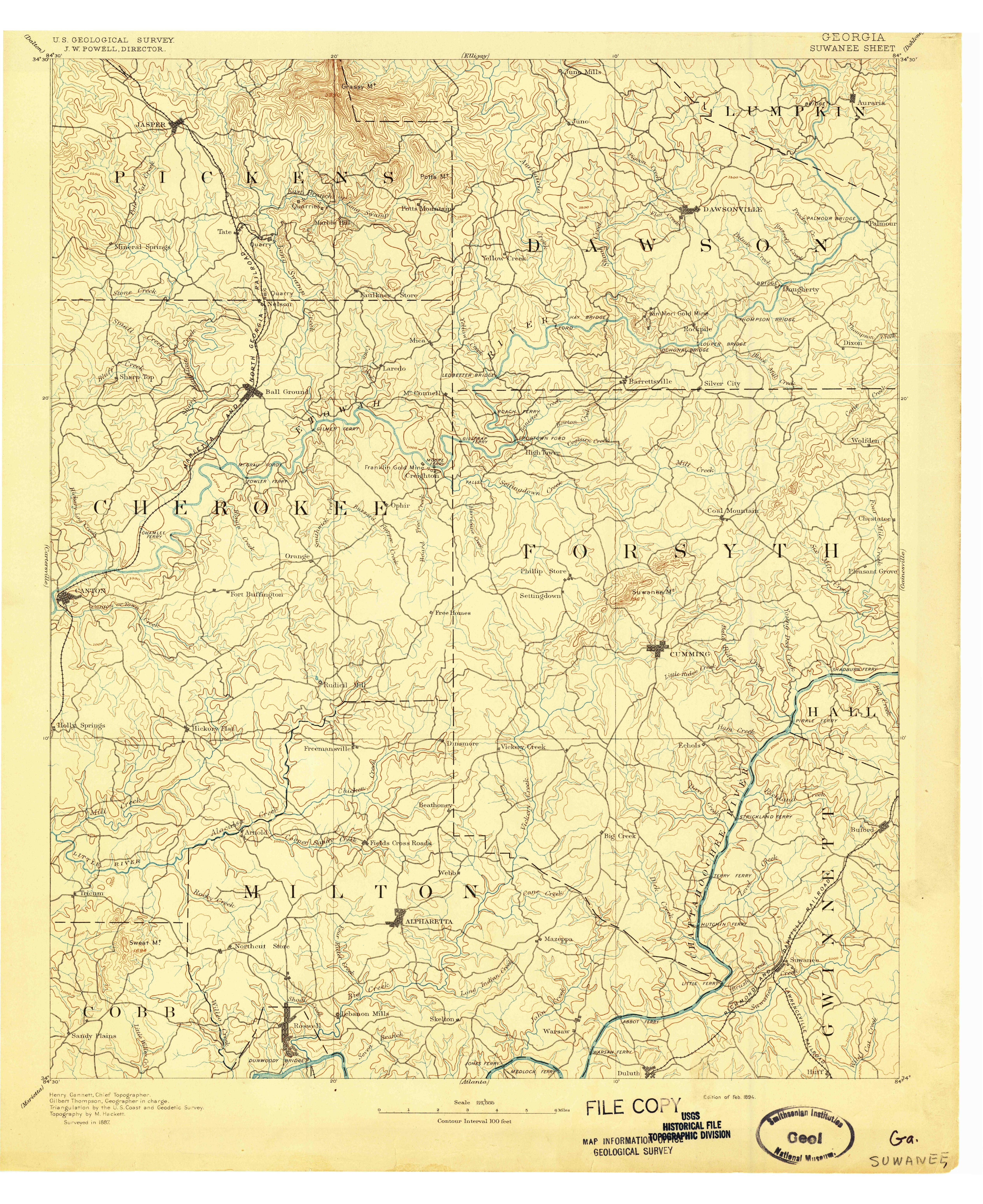
This is the Suwanee quadrangle which includes Roswell, Alpharetta, Cumming, Duluth, etc. This is the companion to the Atlanta quad posted earlier.
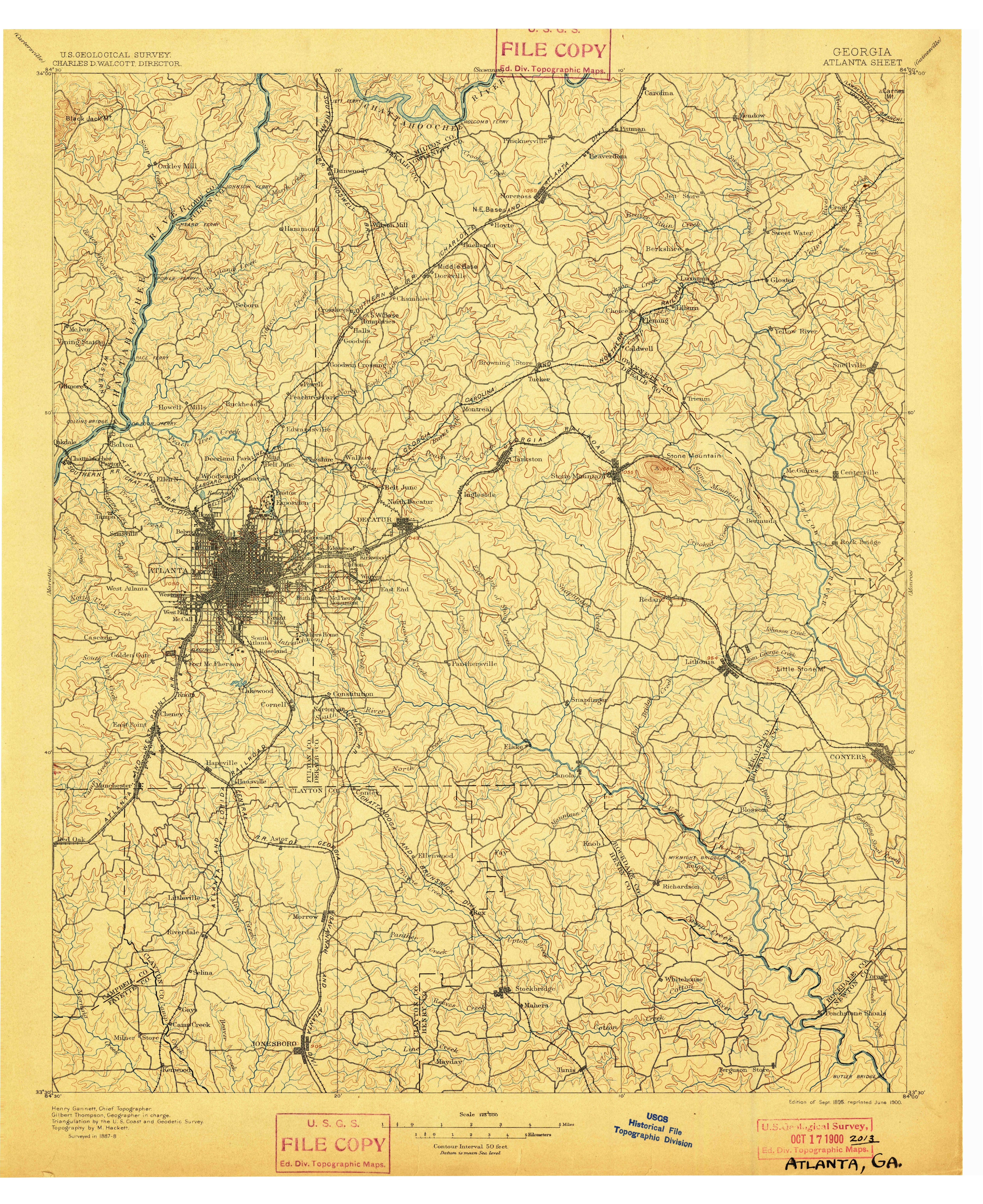
Click the thumbnail to expand.
Lake Lanier, a portion of which should be present here, was not impounded until 1956.