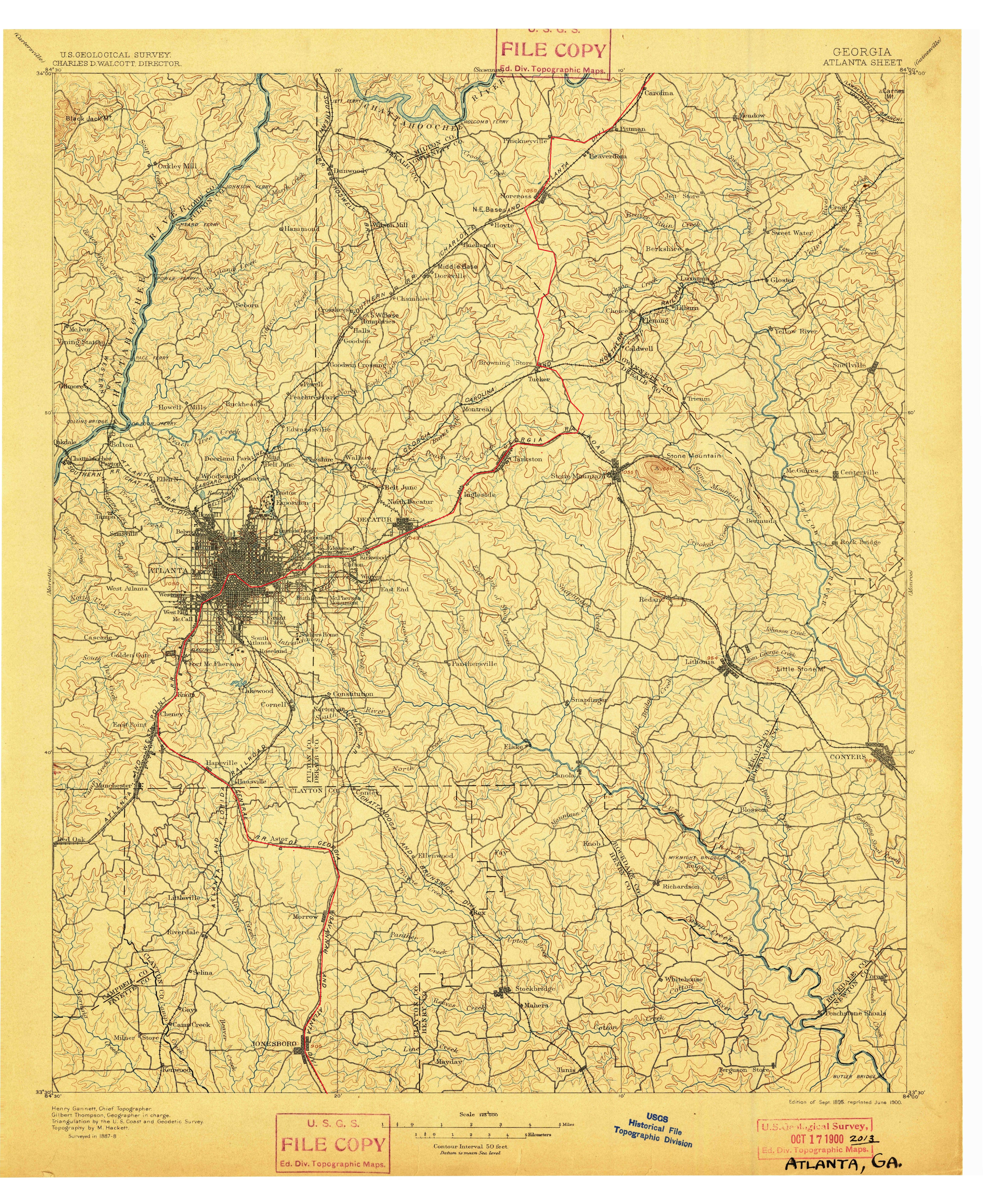
Fort Peachtree
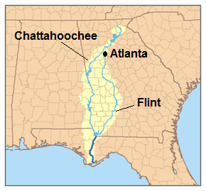
On Sunday I decided to visit the recently (2014) reopened Fort Peachtree park at the mouth of Peachtree Creek on the Chattahoochee. (Google maps link)
This park had been closed since sometime after 9/11/01 (or maybe even the 1996 Olympics) due to the threat posed by terrorists to the Atlanta River Intake, where the city draws water from the river. It is also very close to the R. M. Clayton sewage treatment plant and to Georgia Power’s “Plant McDonough” coal burning power plant.
There had once been at the Fort Peachtree park a recreation of the War of 1812 fort. This was built for the 1976 US Bicentennial. I have no idea if it still exists, as wherever it was is still not accessible.
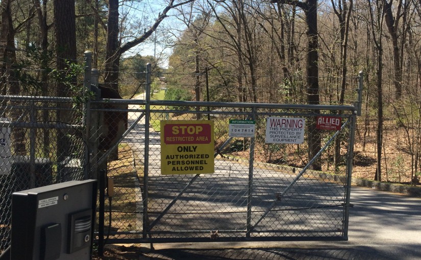
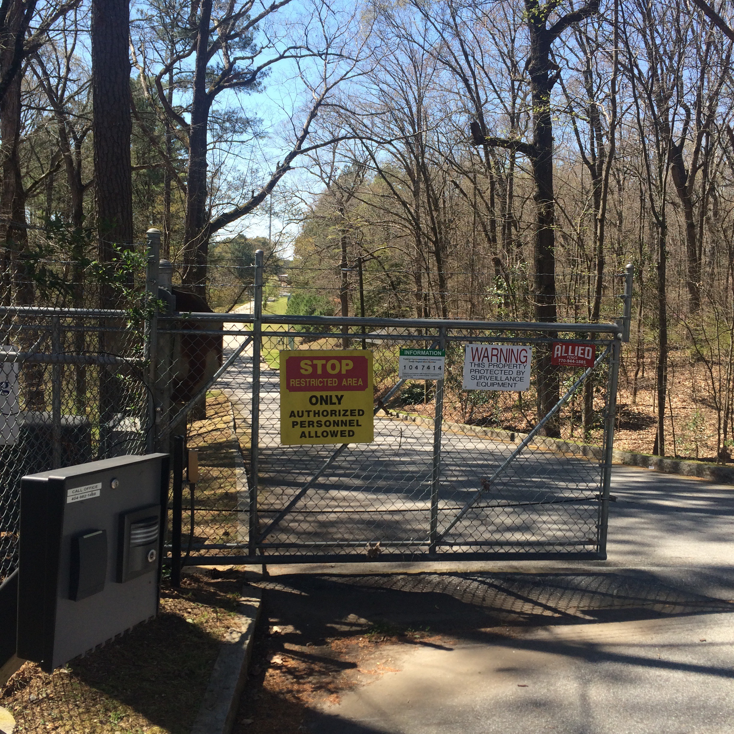
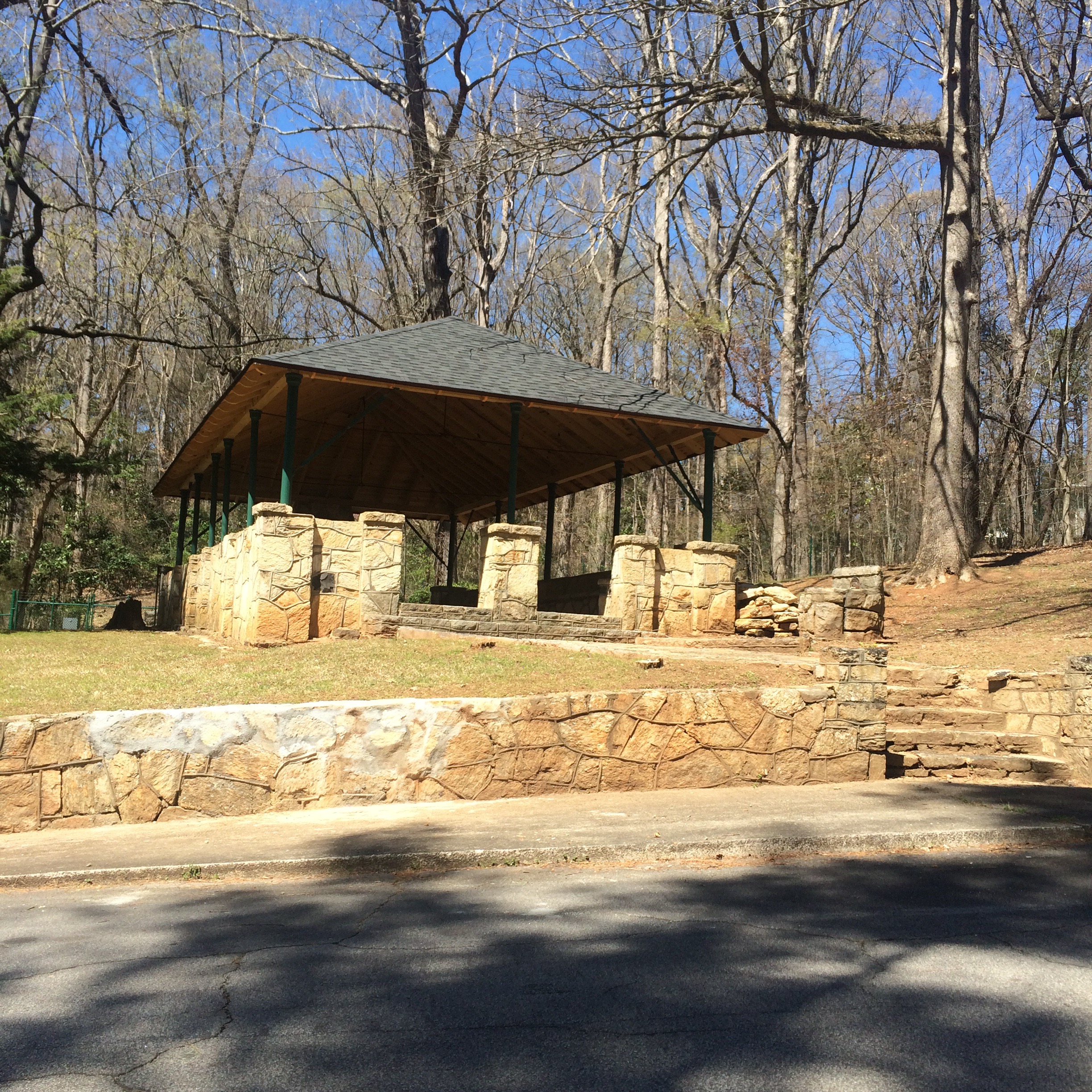
What is accessible is the ability to drive through a scary looking “authorized personnel only!” gate on Ridgeview Road which now sits open from 8am to 8pm, and park next to small picnic pavilion and follow a trail down to the river.
You can stand at the mouth of the creek and try to imagine the Indian village of Standing Peachtree, but it’s not easy. The area is now dominated by chain link fences, “no trespassing” signs, and concrete industrial structures. The smell of sewage is inescapable.


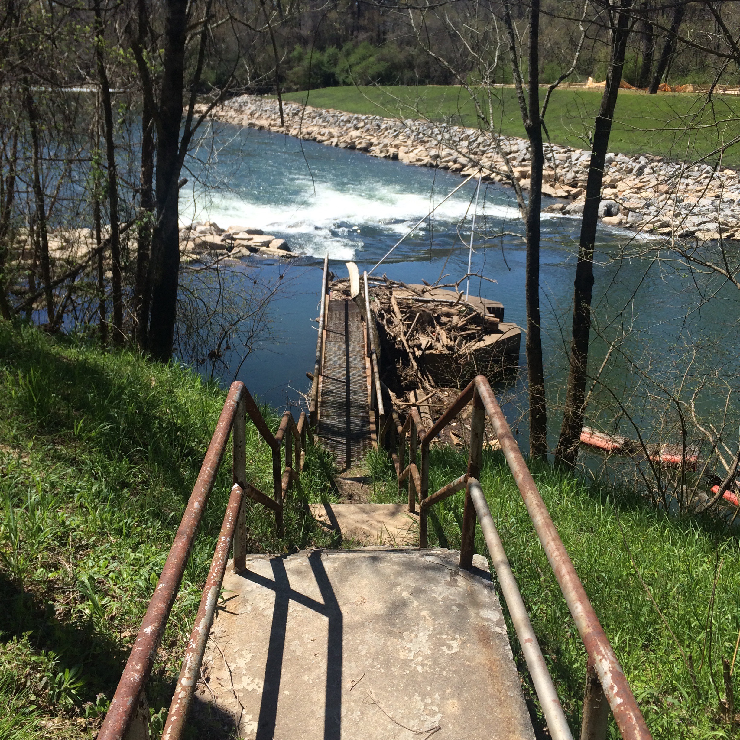
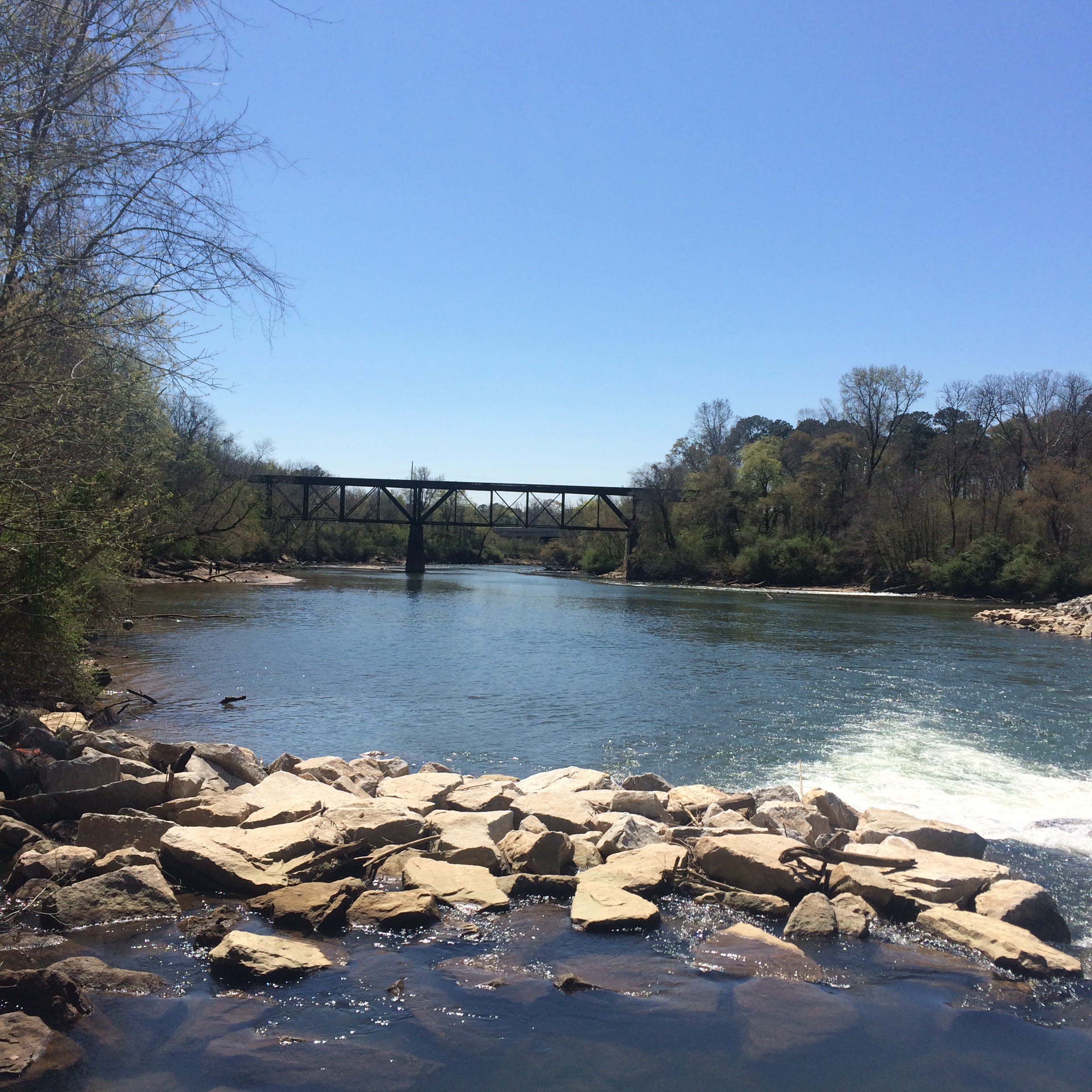
On the other side of Peachtree Creek I noticed some men fishing in the Chattahoochee and could not see a way to get to where they were. There is no bridge over the creek downstream of Ridgeview Road. I tried calling to them but they did not hear.
Chattahoochee Trailway
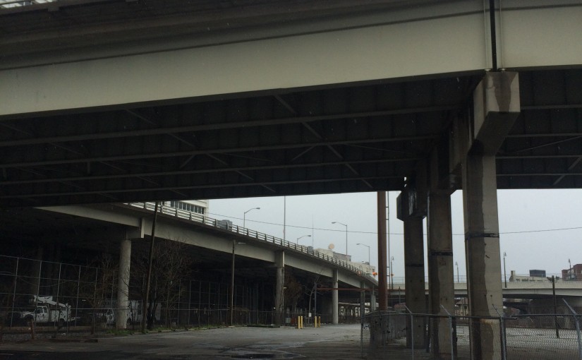
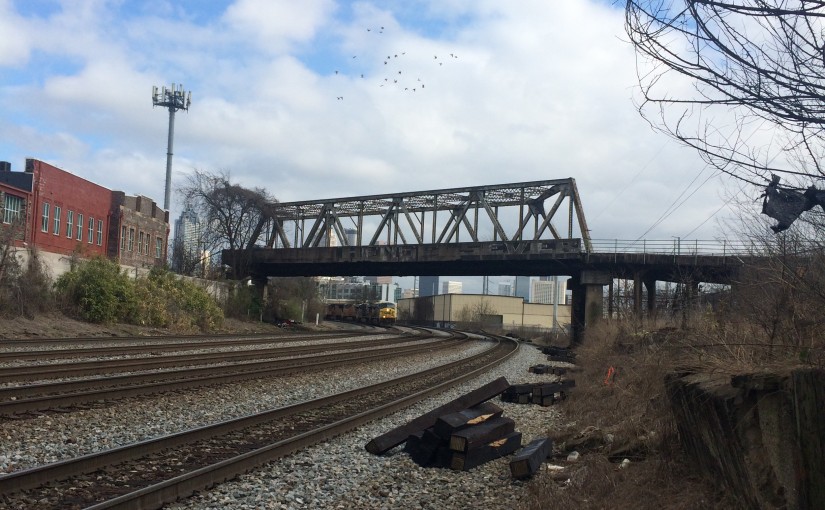
After leaving the park, I went and stood on the sidewalk of the Marietta Blvd/South Atlanta Rd bridge, looking at the river and the nearby rail bridges. Directly below me on the Fulton County side of the river I could see a concrete path, and lo and behold a worn footpath down the riverbank from the road to it. I hopped over the guardrail (it’s there to stop cars not people right?!) and scrambled down the bank.
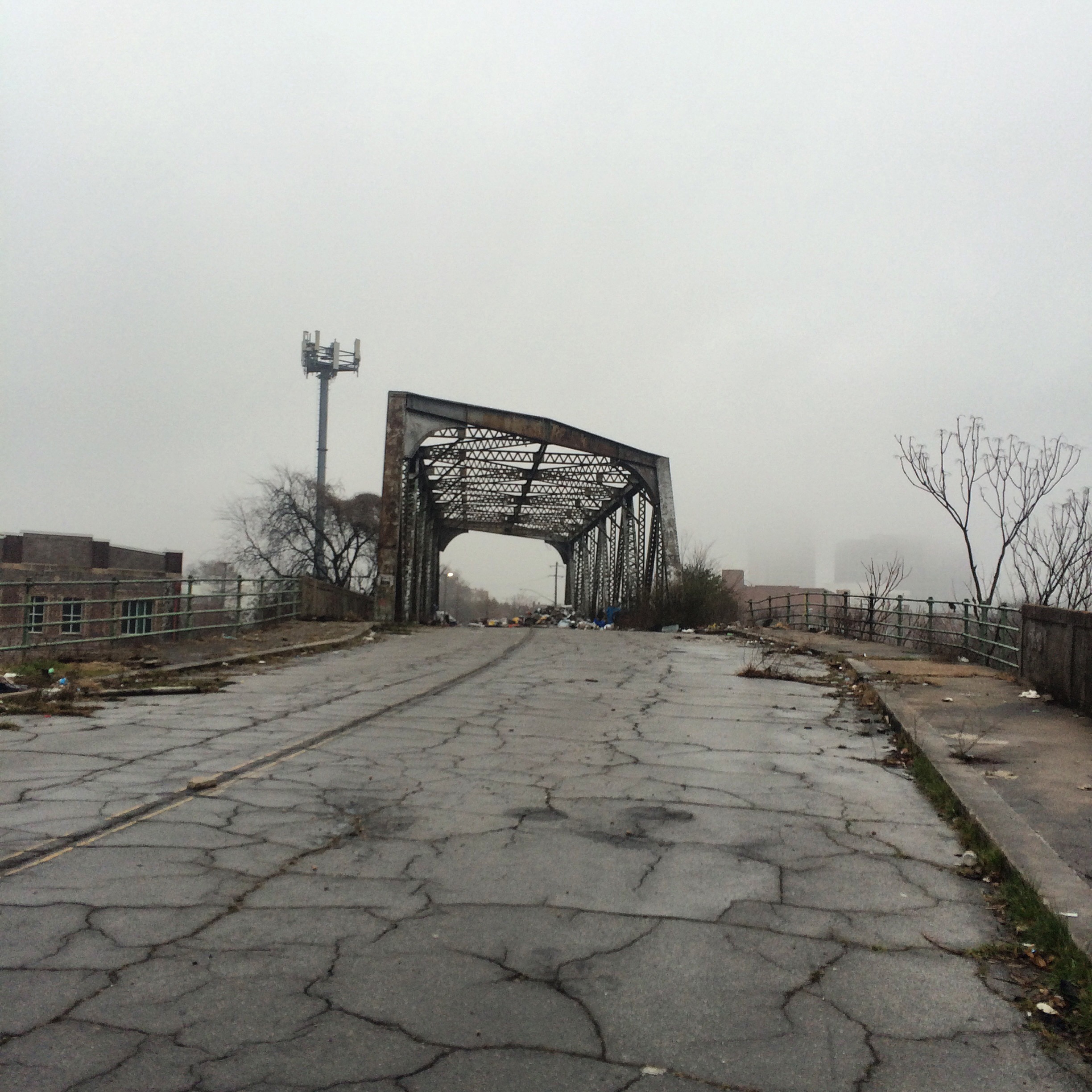
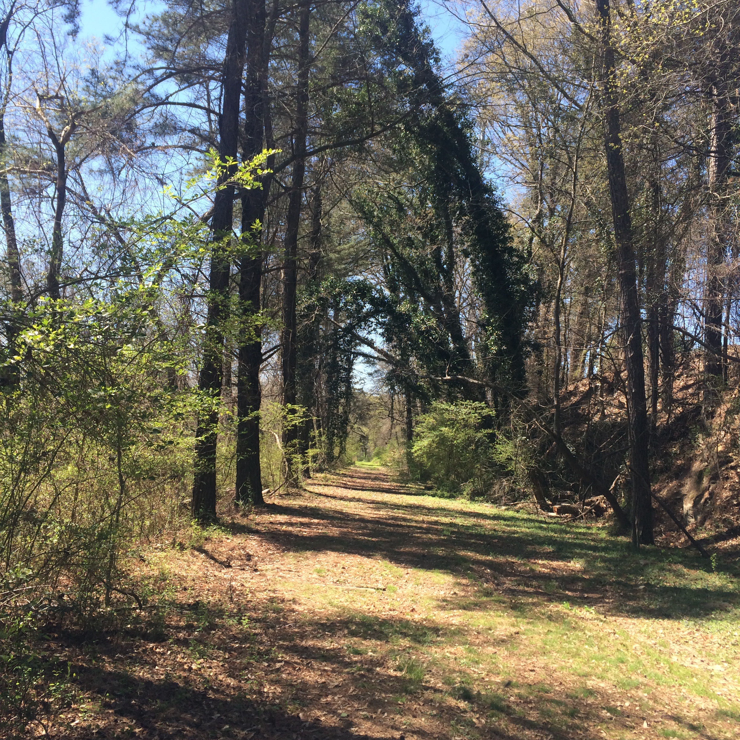
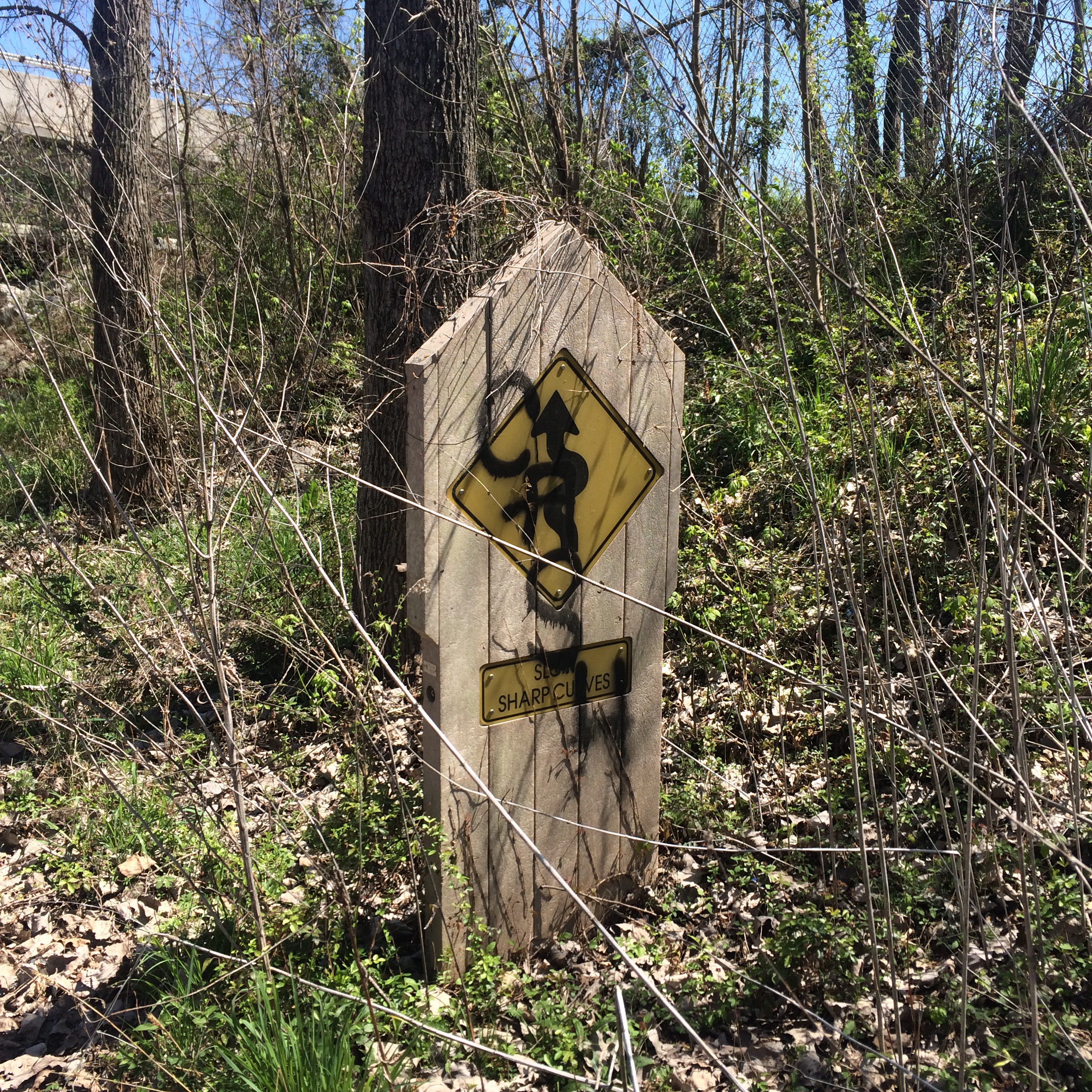
What I found was a bike trail that I had memories of seeing around 2000, and which had also (I have since confirmed directly with the PATH foundation) been closed because of “terrorism”. Remaining signage called it the “Chattahoochee Trailway”. There is almost nothing about this trail on the Internet. Not on the PATH website, no newspaper articles about its closure, it is almost like it never existed.

The other end of the trail was where it had once been accessible from Marietta Road, only this part of Marietta road was no longer drivable, being gated off much further from the river. The old barriers to keep motor vehicles off the trail remained.

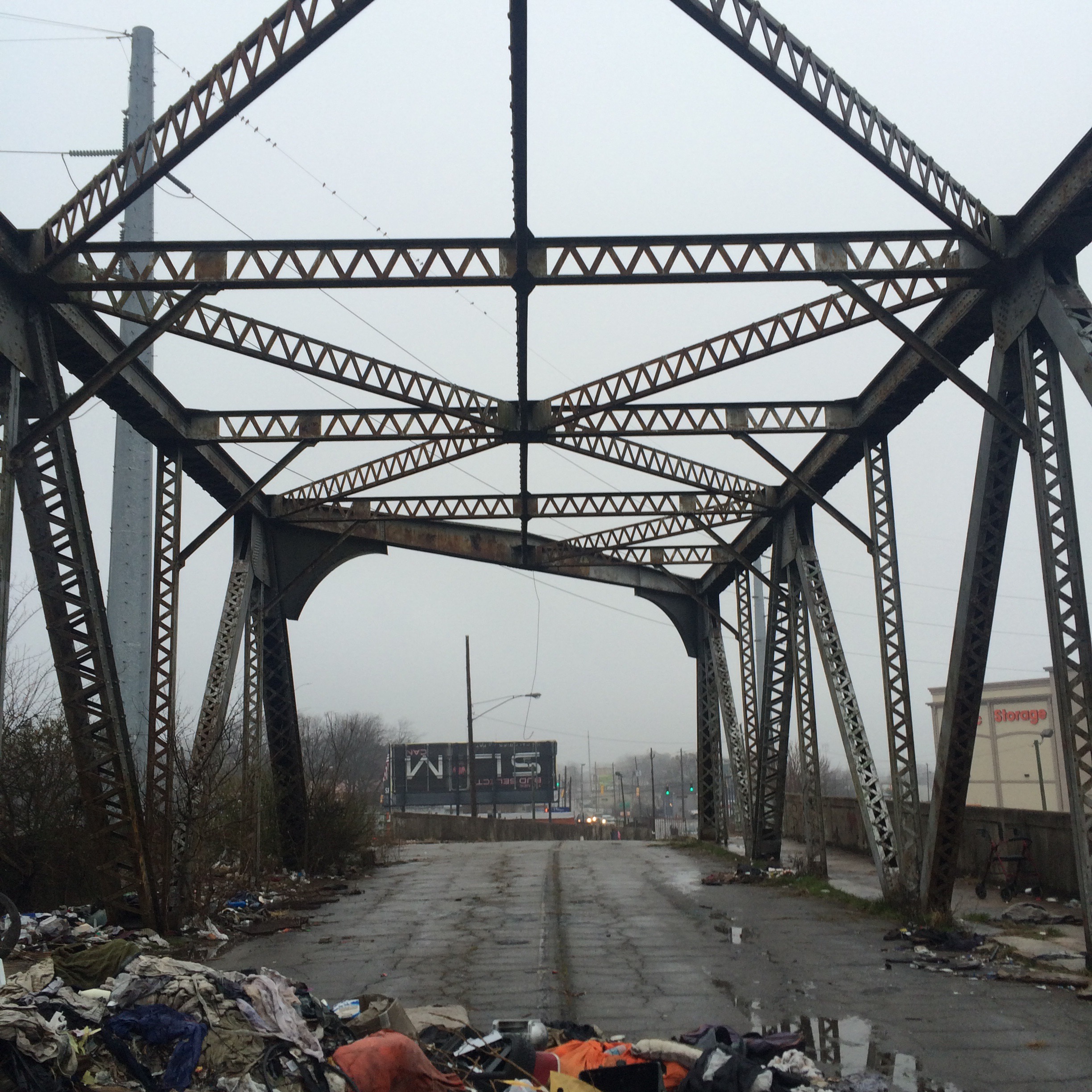
Now it was possible to walk around this stuff and follow the road further downriver. I decided to go ahead, since I probably could not get in any worse trouble than I was already in. Don’t try this at home kids, and all that jazz.
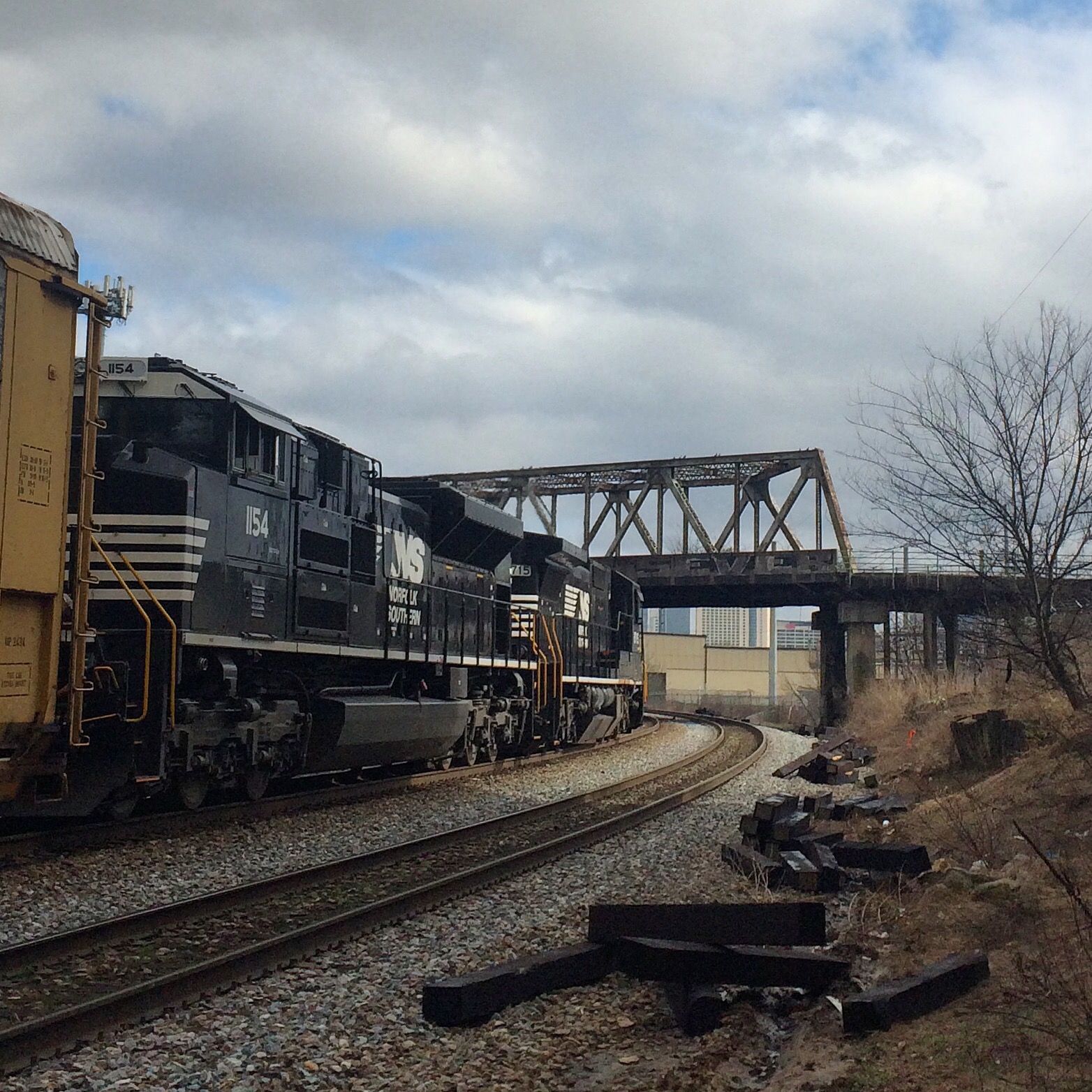
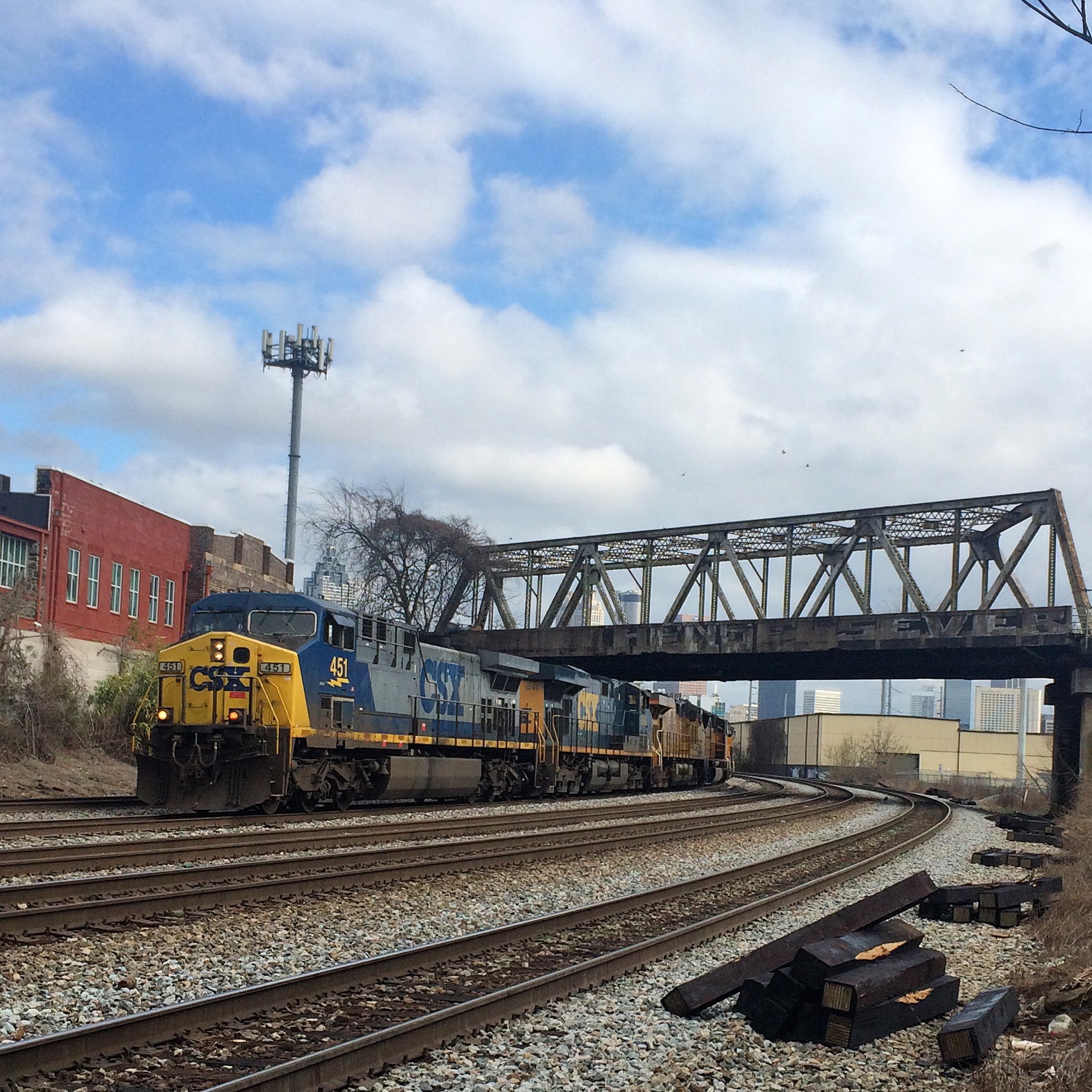
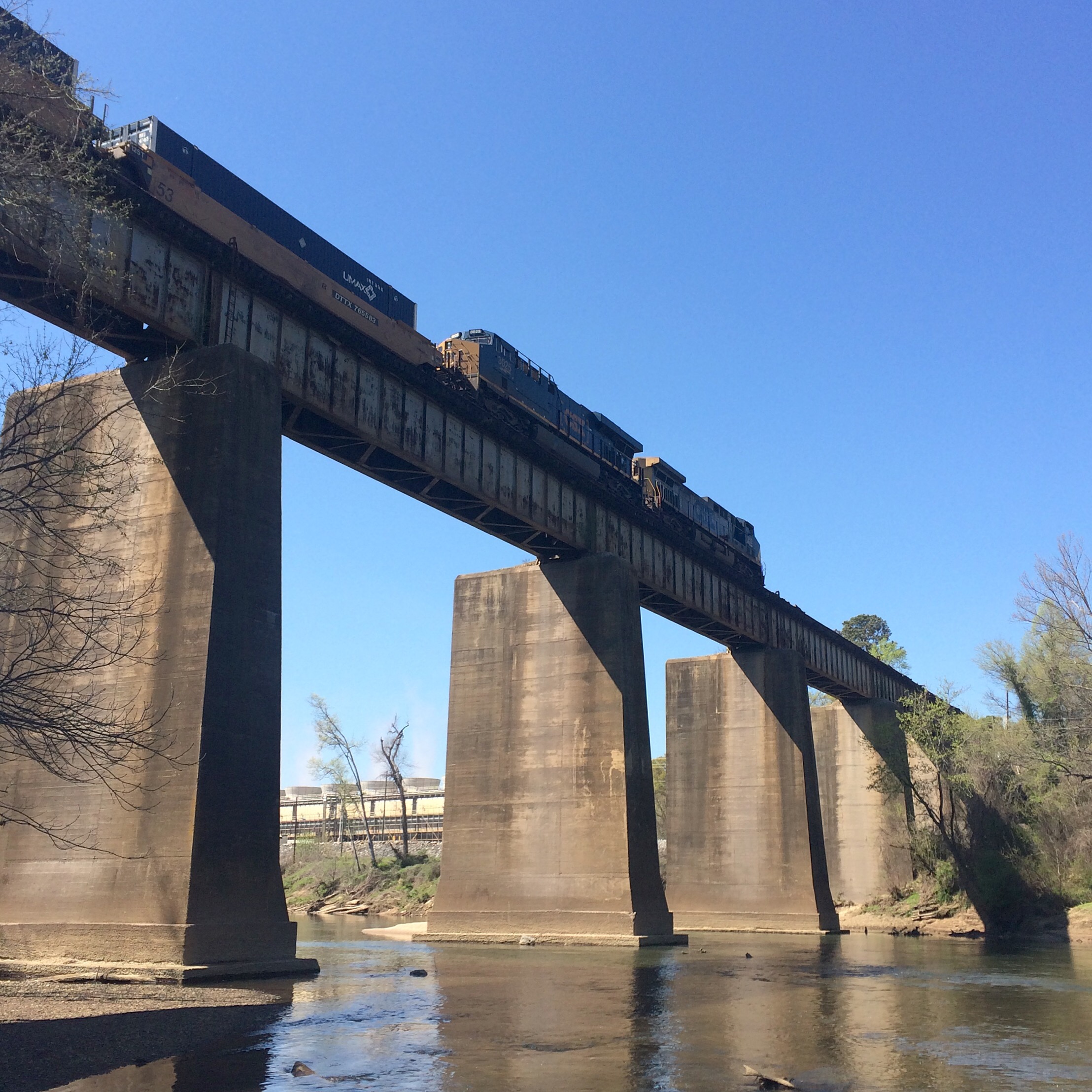
It lead to a view of the CSX railroad bridge, with Plant McDonough visible across the the river, that cannot be had any other way.


Returning to the trail, I followed it back under the road bridge to the old Seaboard Air Line rail bridge, and in doing so I met the men I had seen earlier fishing. They seemed concerned that I had “caught” them, as if I was someone who was supposed to be here.