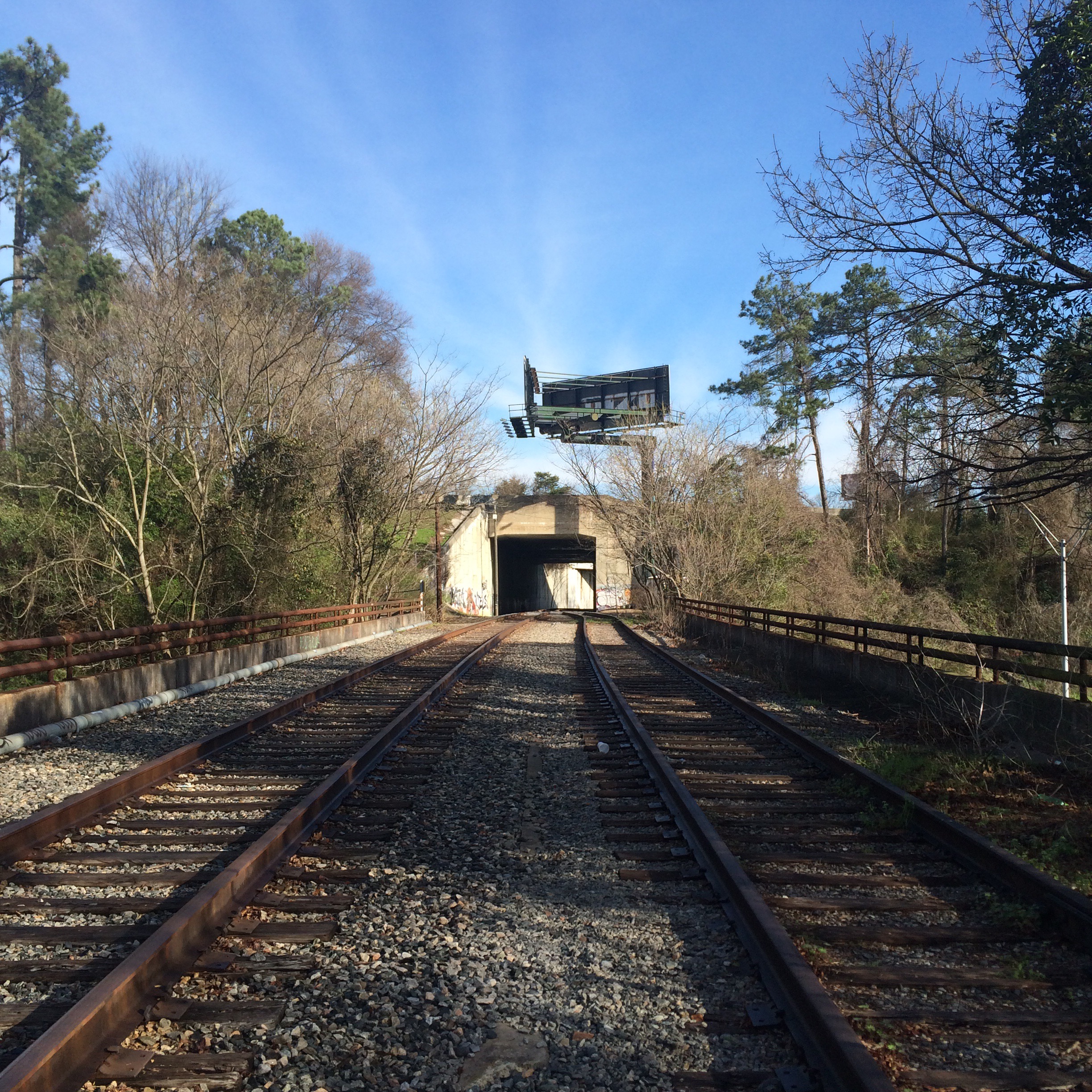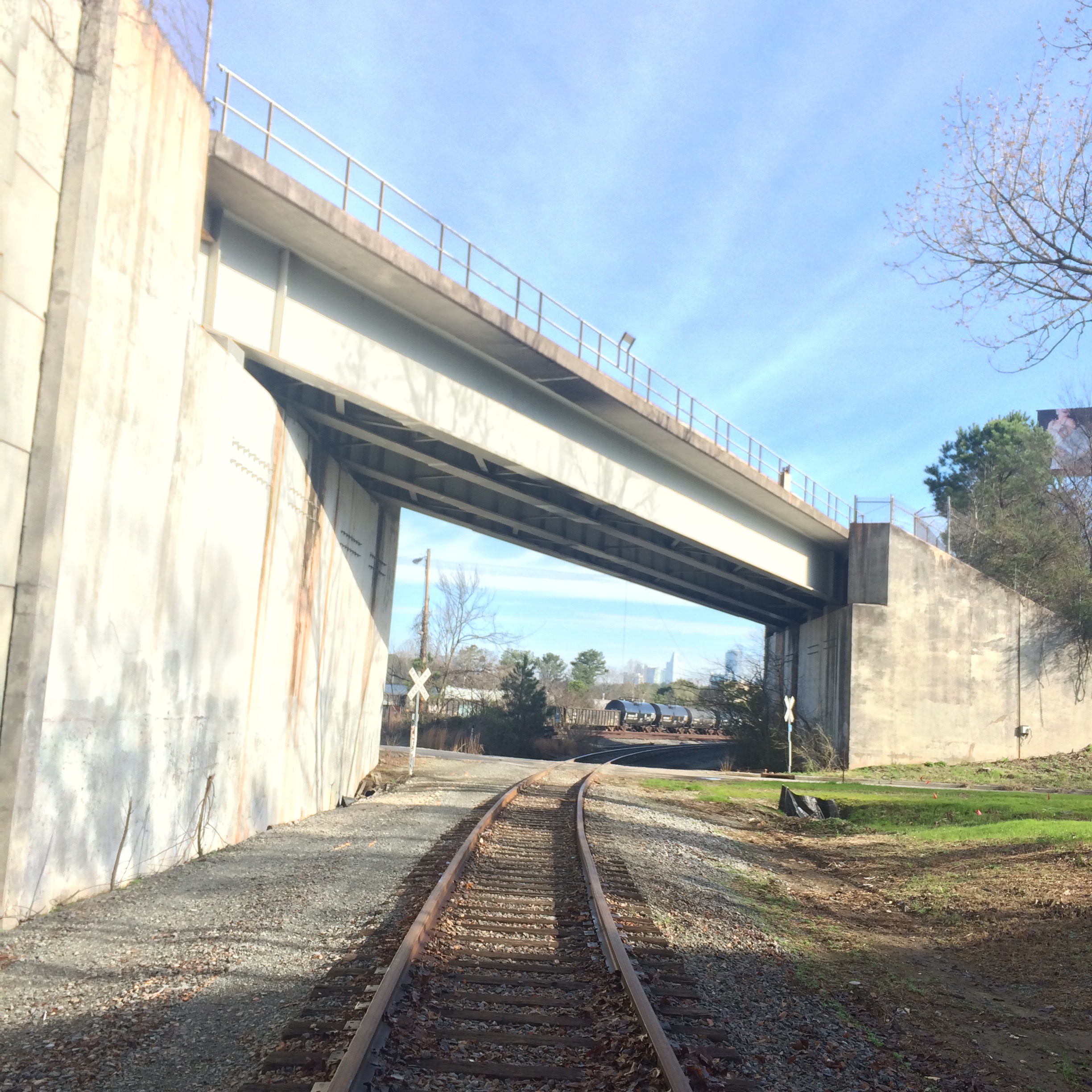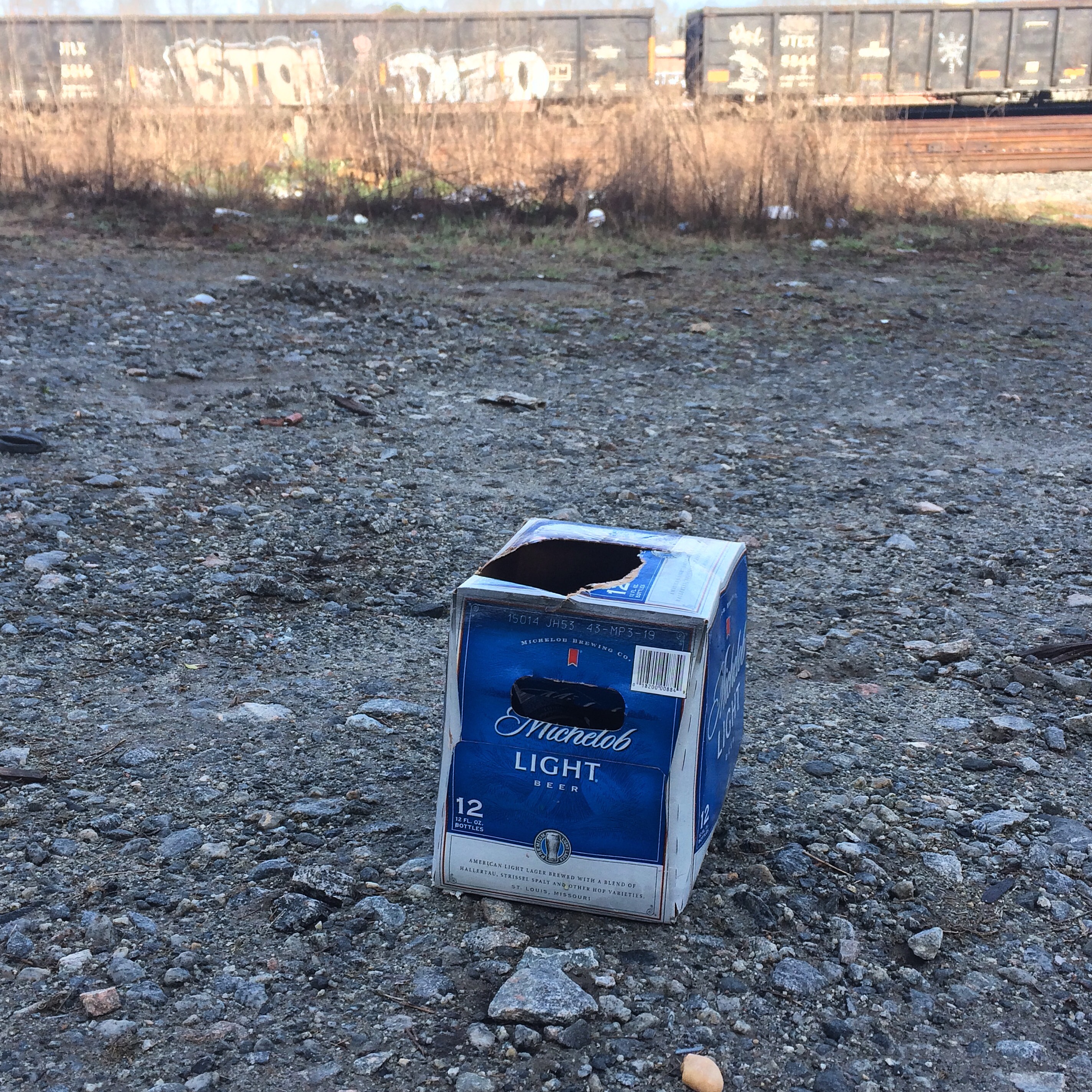
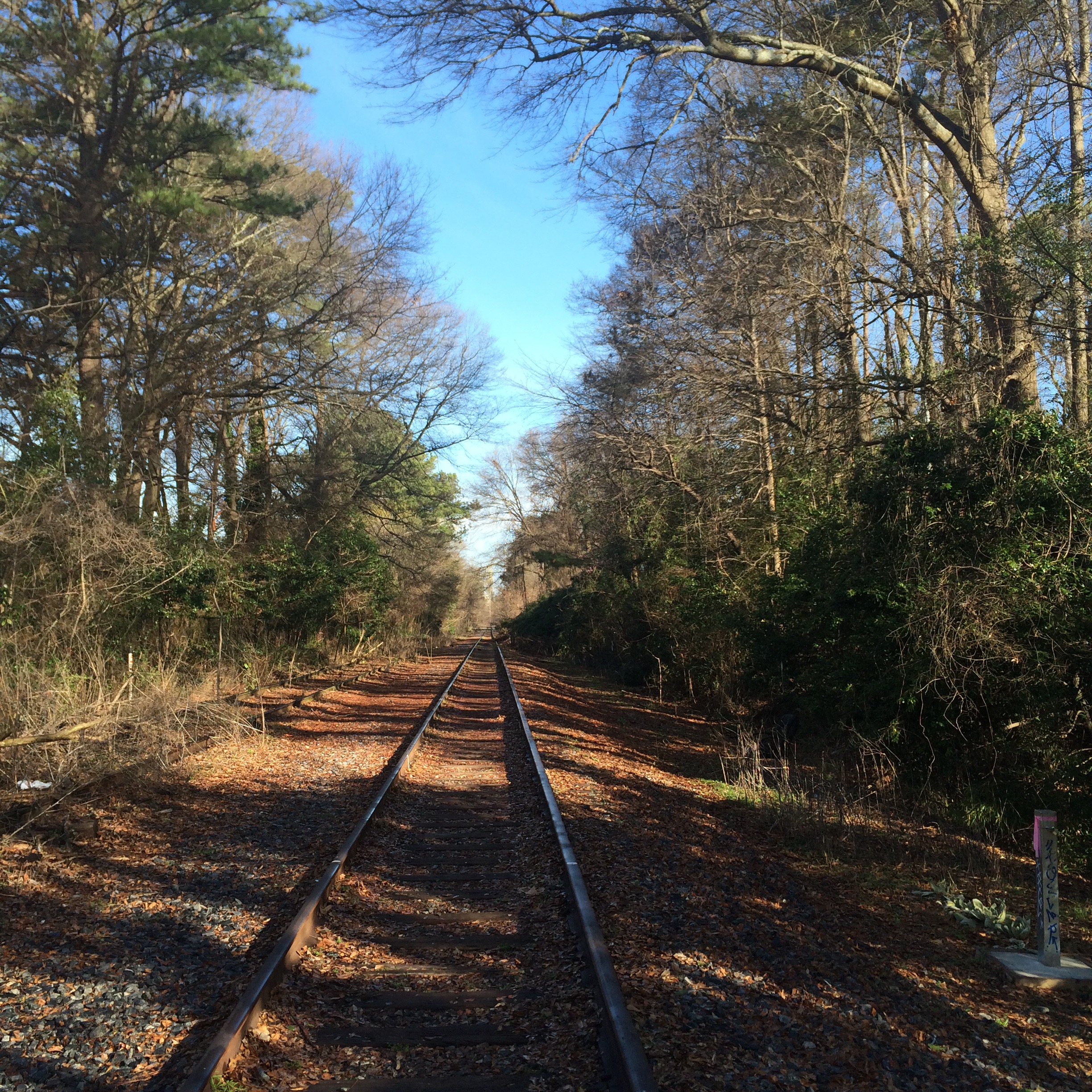
From last weekend. Went around the fence to take my breakfast trackside.
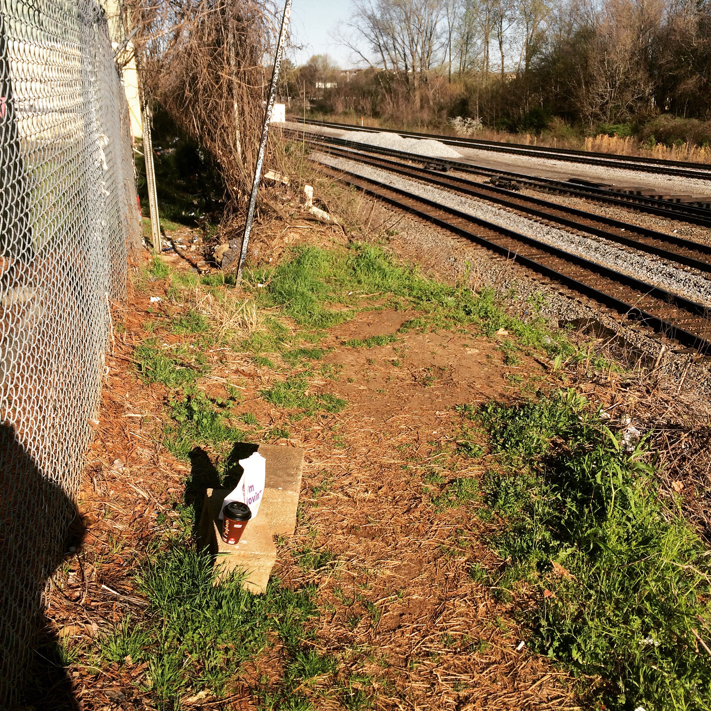
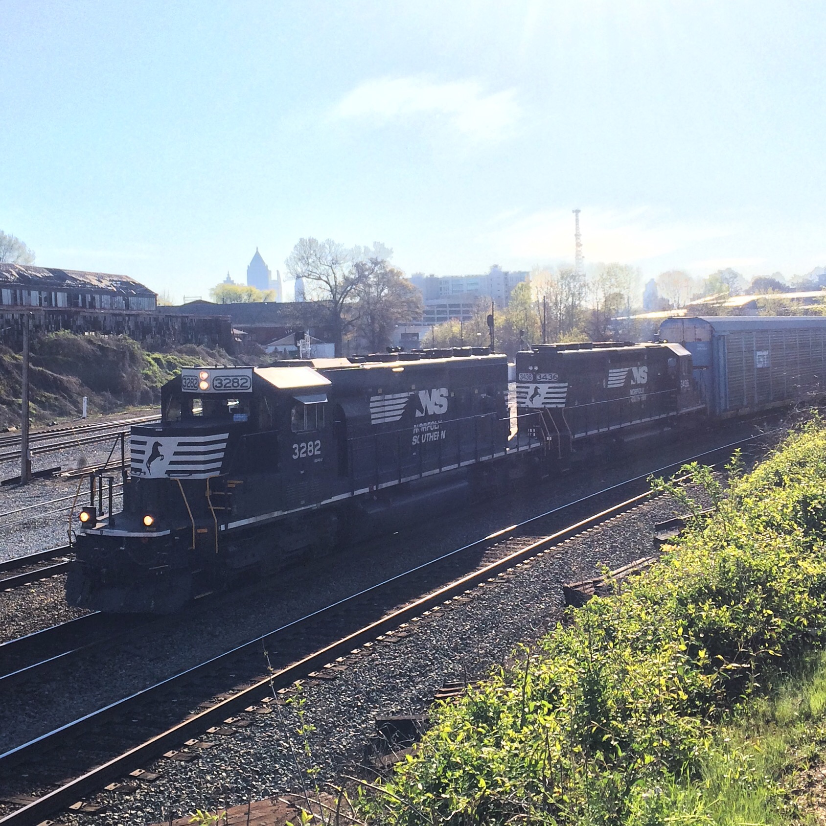

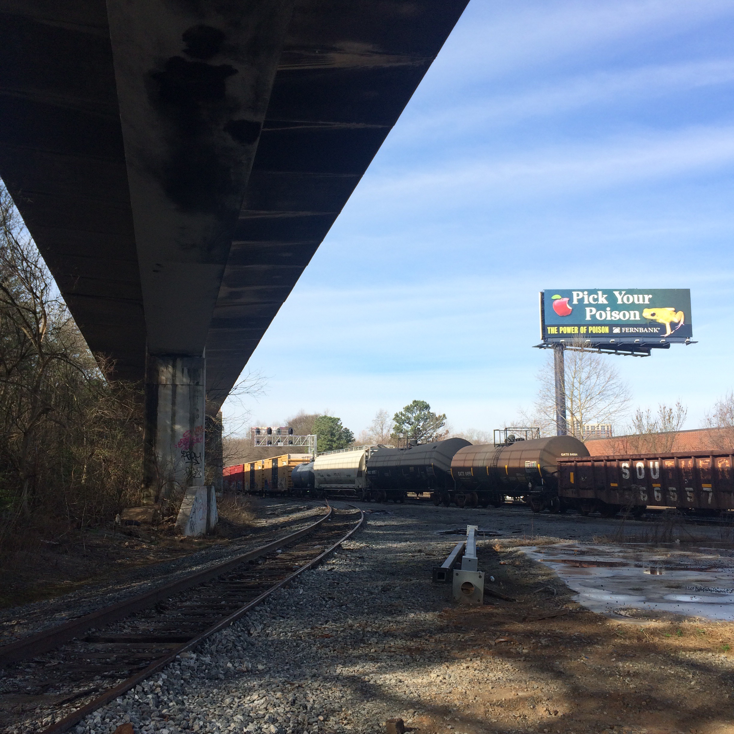
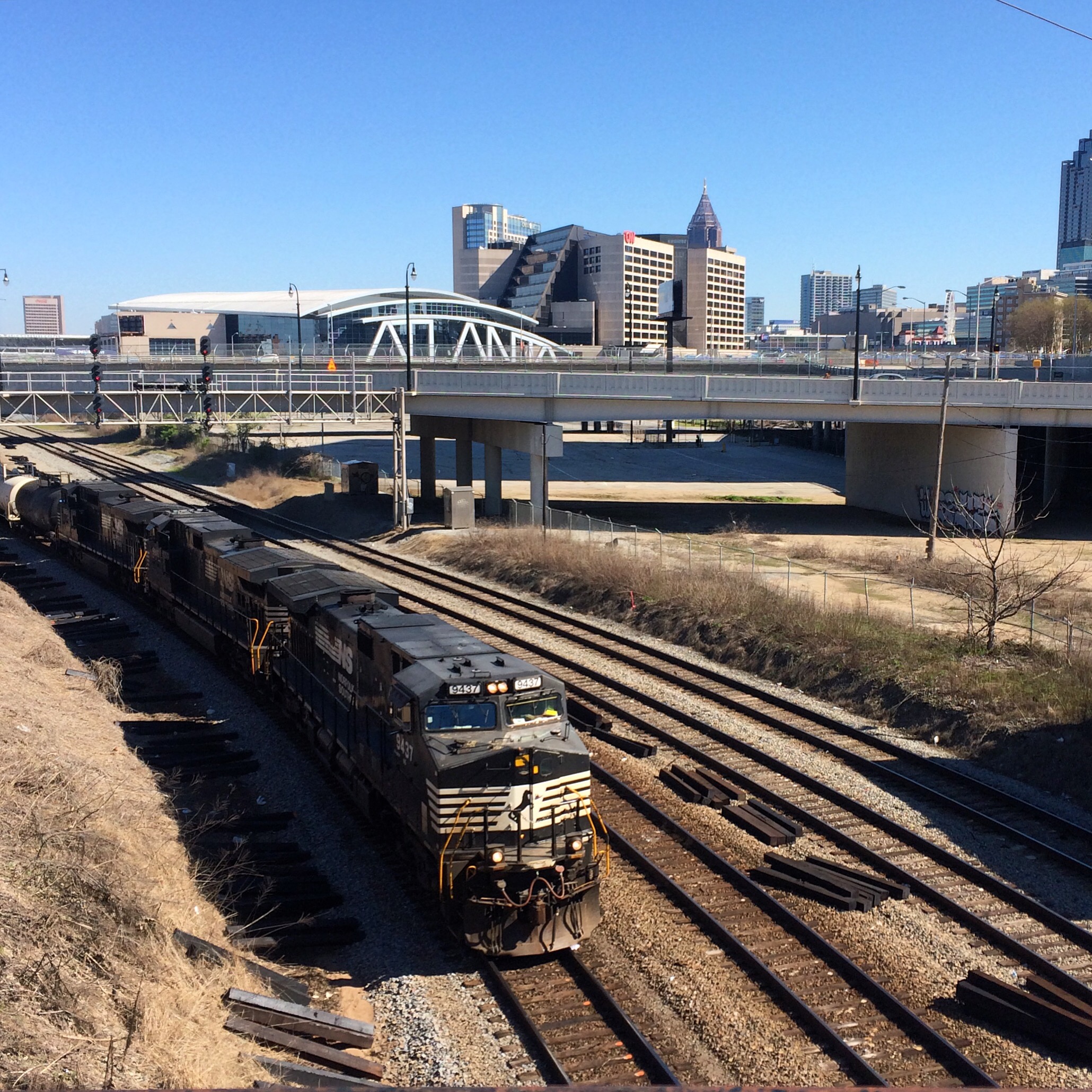
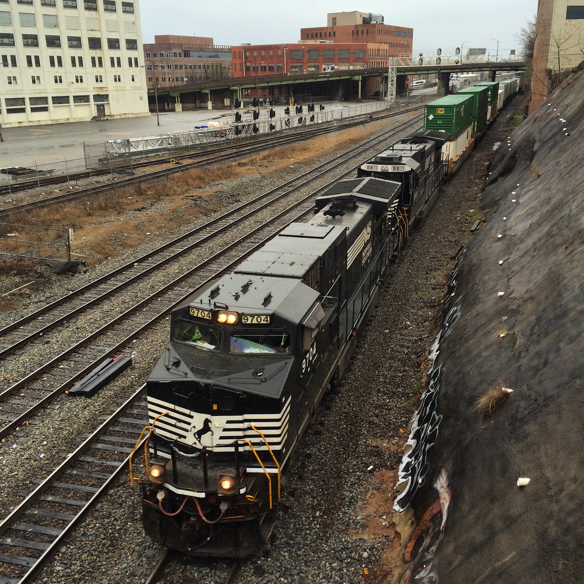
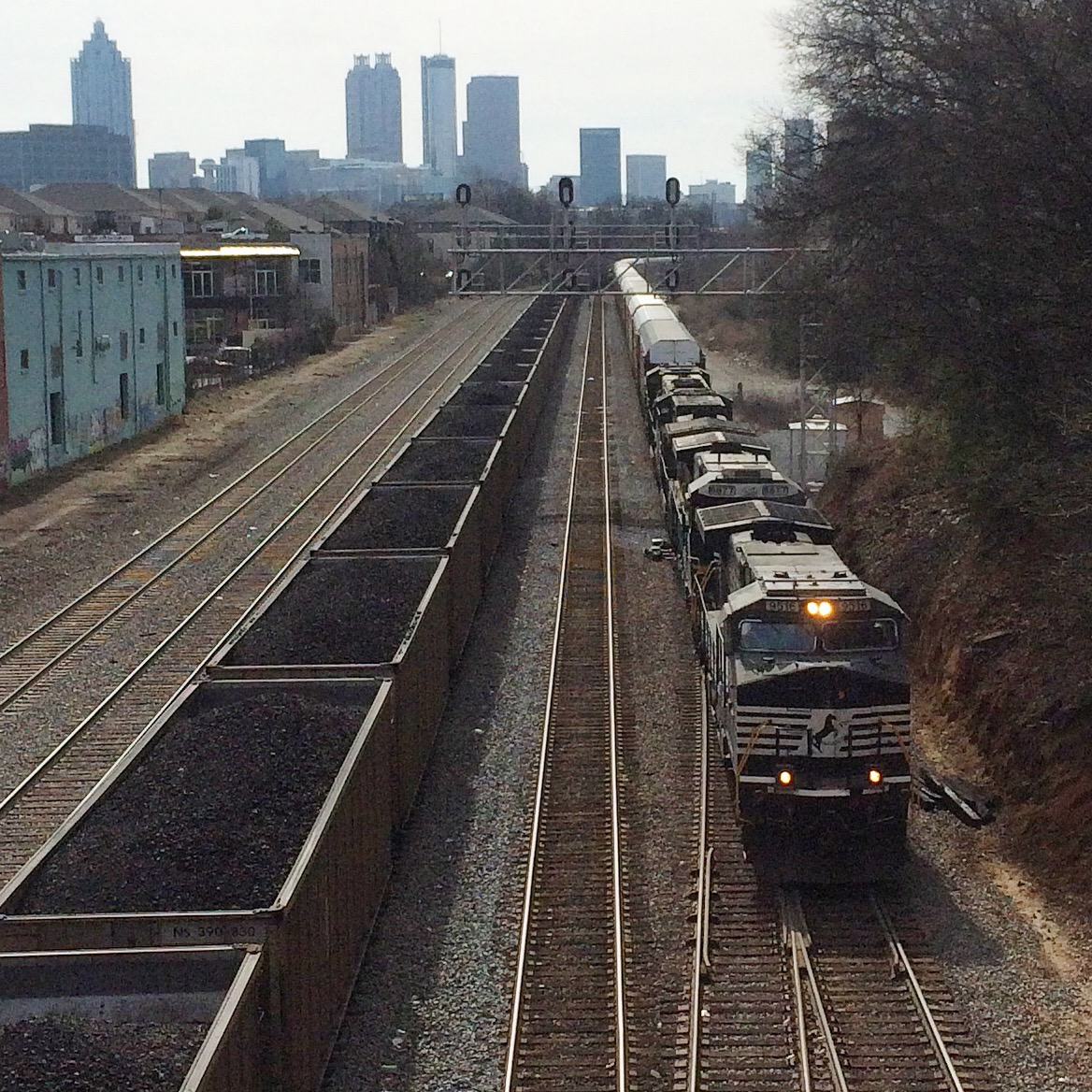
Saw a couple northbound from the Marietta Street bridge:


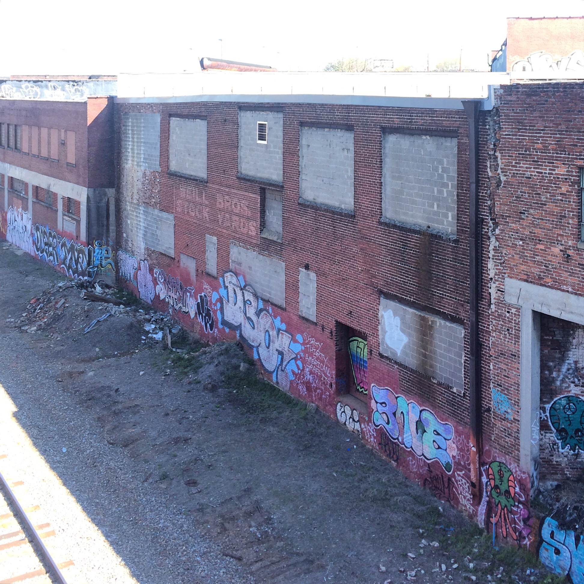
Faded “Weill Bros. Stock Yards” still visible.
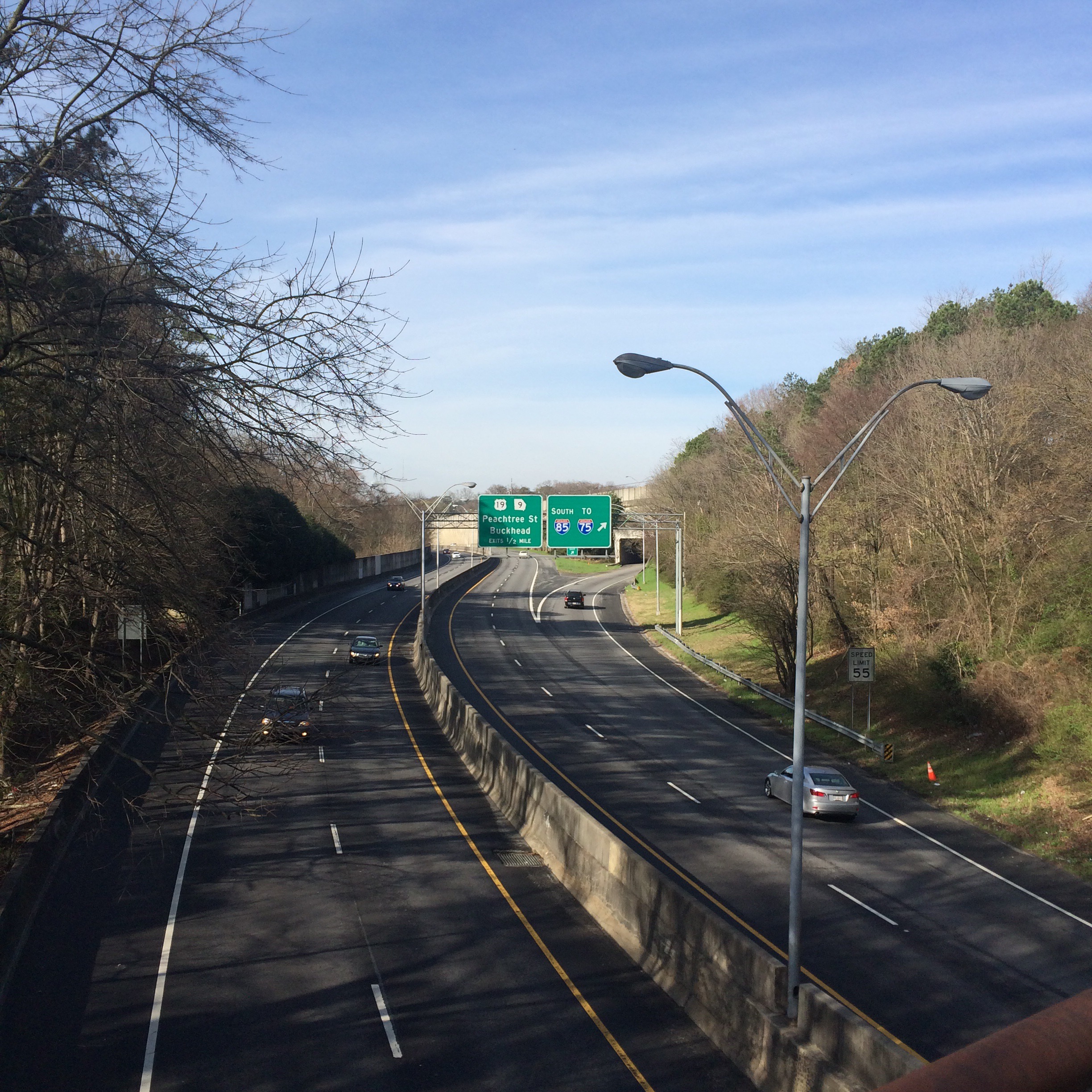
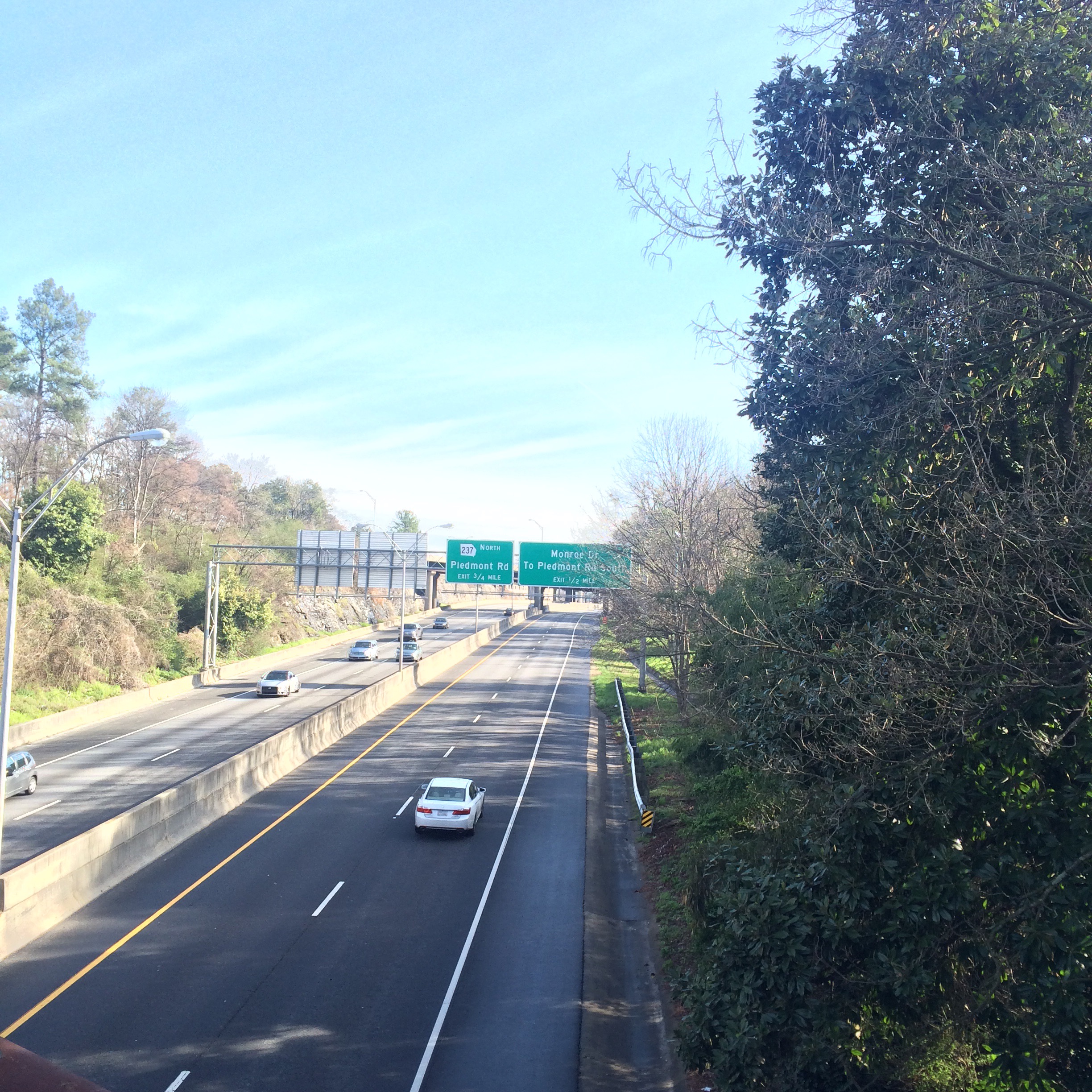
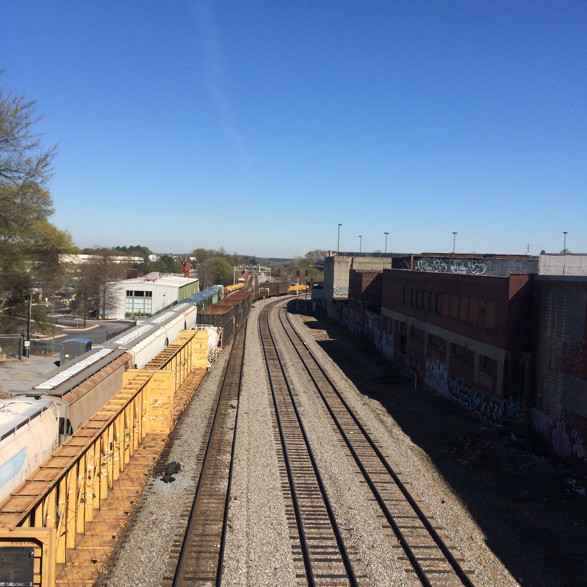
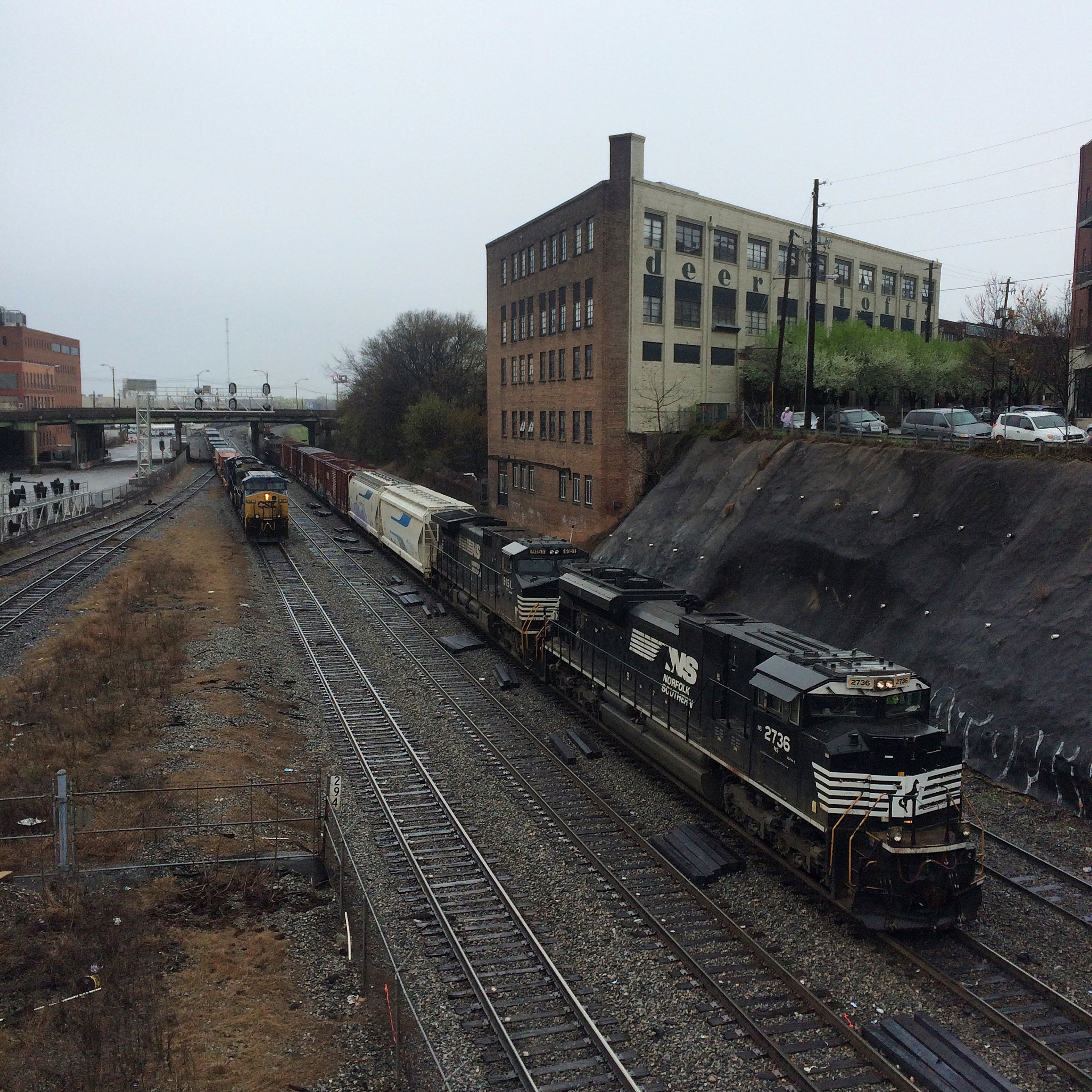
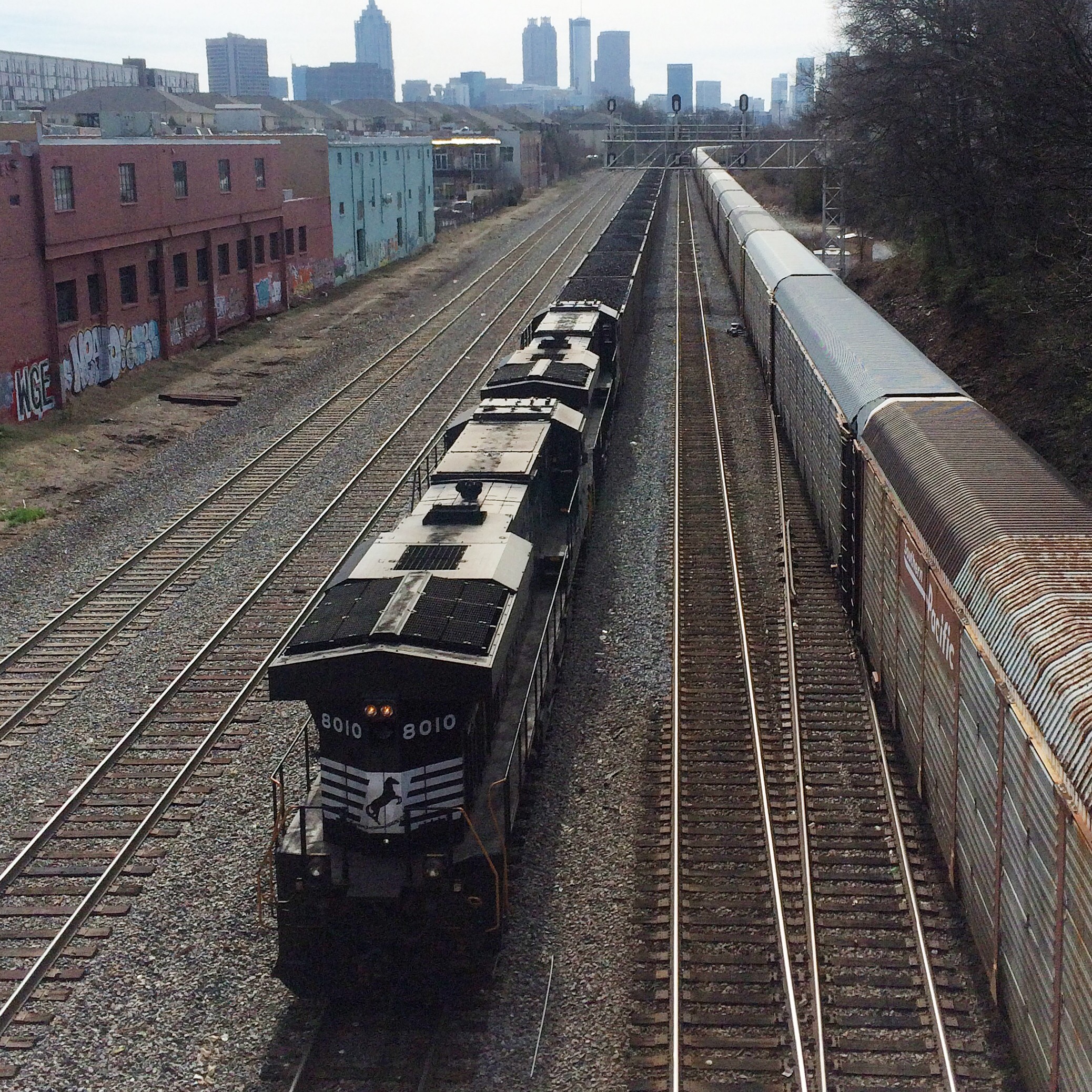
A couple more downtown:

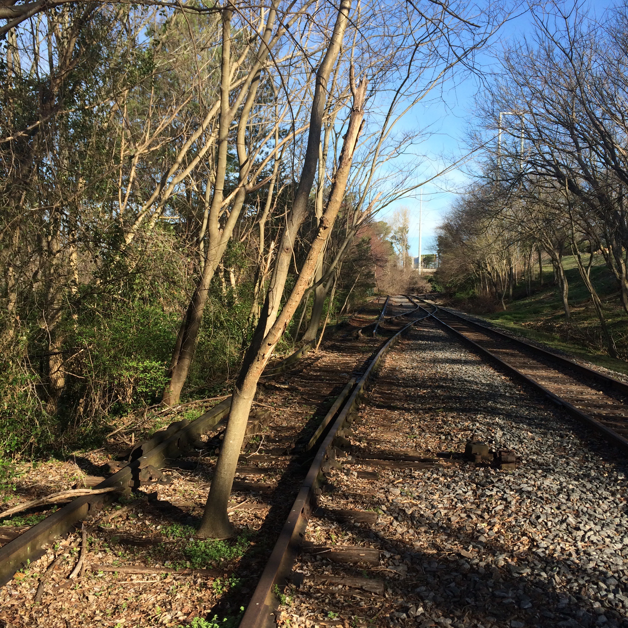
From last weekend. Went around the fence to take my breakfast trackside.
Saw a couple northbound from the Marietta Street bridge:
Faded “Weill Bros. Stock Yards” still visible.
A couple more downtown:
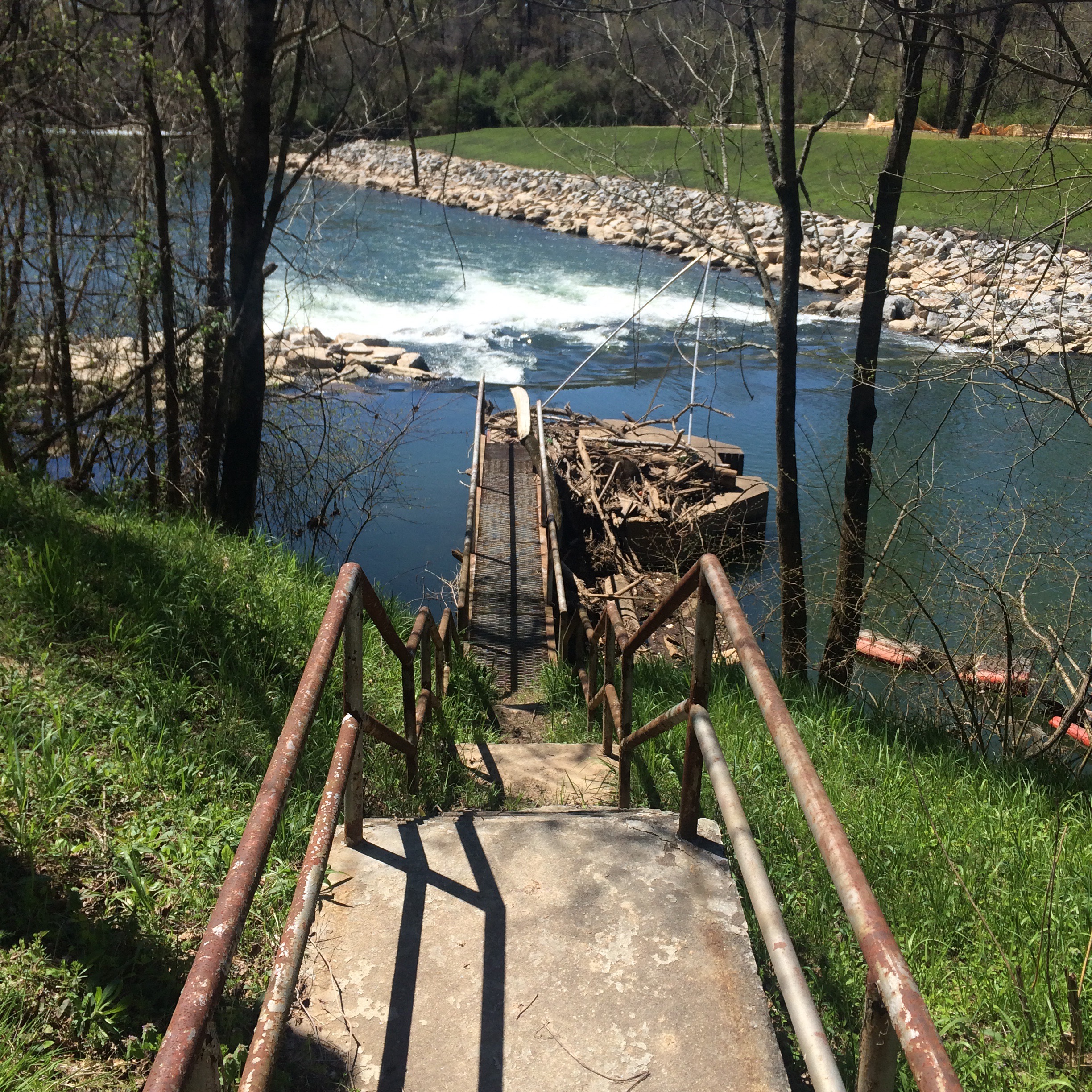
On Sunday I decided to visit the recently (2014) reopened Fort Peachtree park at the mouth of Peachtree Creek on the Chattahoochee. (Google maps link)
This park had been closed since sometime after 9/11/01 (or maybe even the 1996 Olympics) due to the threat posed by terrorists to the Atlanta River Intake, where the city draws water from the river. It is also very close to the R. M. Clayton sewage treatment plant and to Georgia Power’s “Plant McDonough” coal burning power plant.
There had once been at the Fort Peachtree park a recreation of the War of 1812 fort. This was built for the 1976 US Bicentennial. I have no idea if it still exists, as wherever it was is still not accessible.
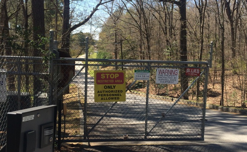
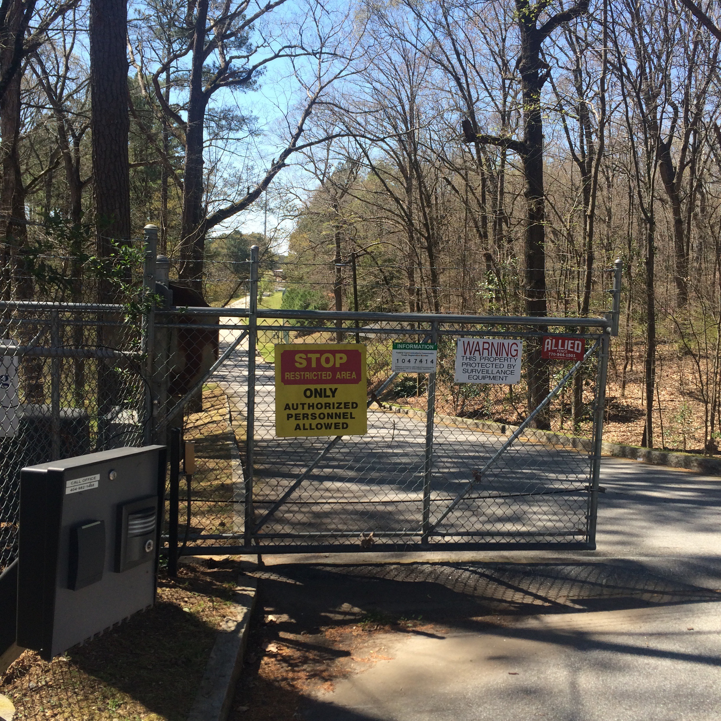
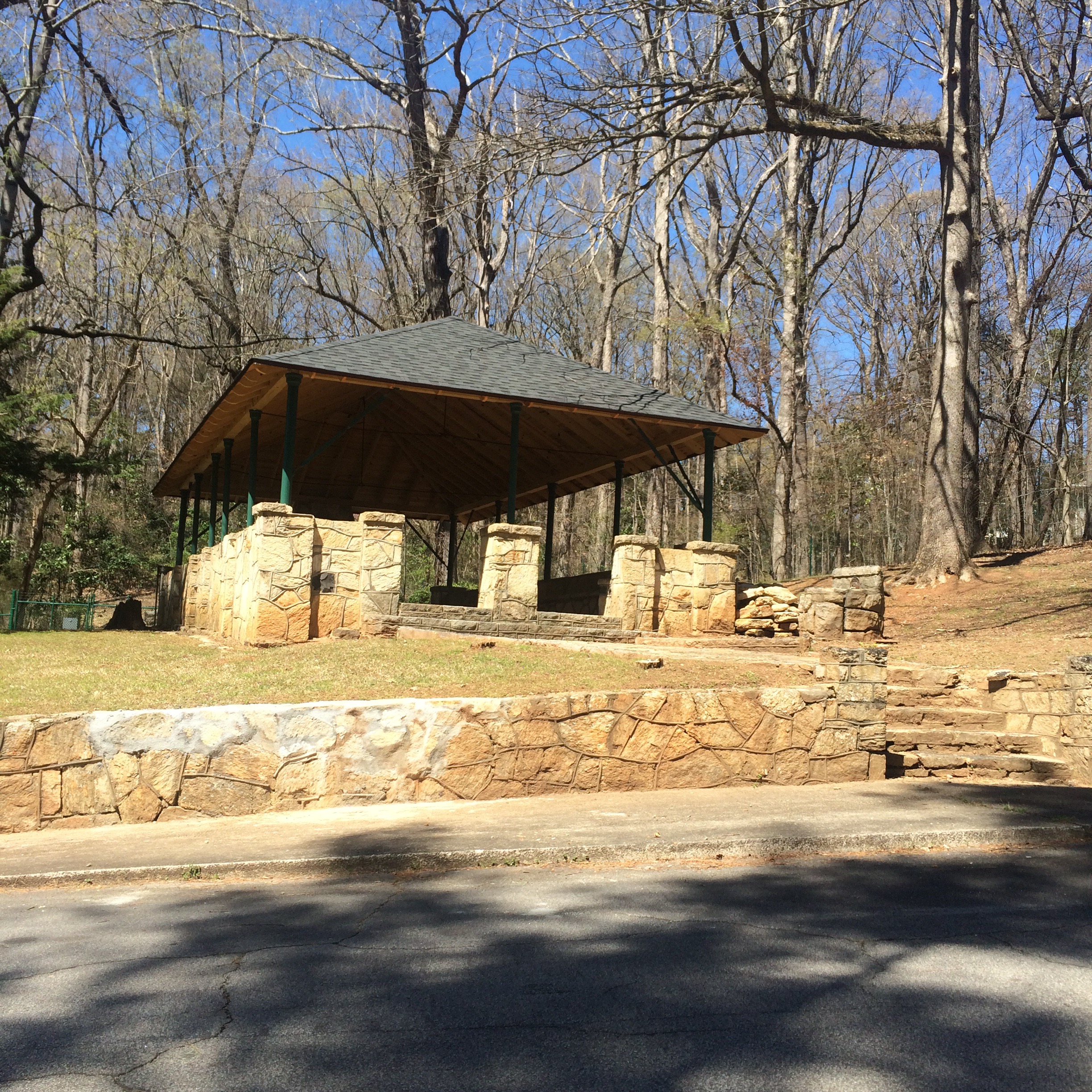
What is accessible is the ability to drive through a scary looking “authorized personnel only!” gate on Ridgeview Road which now sits open from 8am to 8pm, and park next to small picnic pavilion and follow a trail down to the river.
You can stand at the mouth of the creek and try to imagine the Indian village of Standing Peachtree, but it’s not easy. The area is now dominated by chain link fences, “no trespassing” signs, and concrete industrial structures. The smell of sewage is inescapable.


On the other side of Peachtree Creek I noticed some men fishing in the Chattahoochee and could not see a way to get to where they were. There is no bridge over the creek downstream of Ridgeview Road. I tried calling to them but they did not hear.
After leaving the park, I went and stood on the sidewalk of the Marietta Blvd/South Atlanta Rd bridge, looking at the river and the nearby rail bridges. Directly below me on the Fulton County side of the river I could see a concrete path, and lo and behold a worn footpath down the riverbank from the road to it. I hopped over the guardrail (it’s there to stop cars not people right?!) and scrambled down the bank.
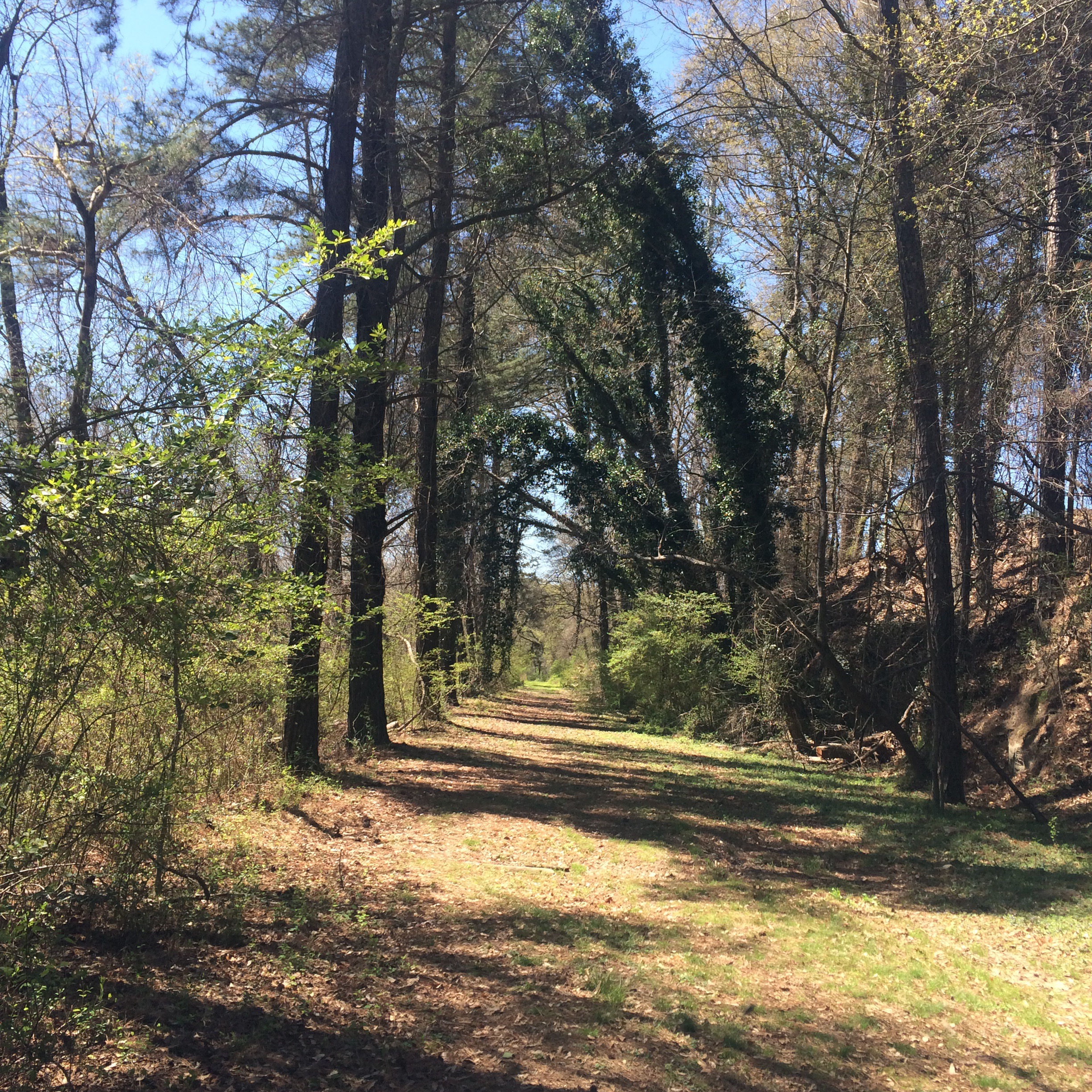
What I found was a bike trail that I had memories of seeing around 2000, and which had also (I have since confirmed directly with the PATH foundation) been closed because of “terrorism”. Remaining signage called it the “Chattahoochee Trailway”. There is almost nothing about this trail on the Internet. Not on the PATH website, no newspaper articles about its closure, it is almost like it never existed.

The other end of the trail was where it had once been accessible from Marietta Road, only this part of Marietta road was no longer drivable, being gated off much further from the river. The old barriers to keep motor vehicles off the trail remained.

Now it was possible to walk around this stuff and follow the road further downriver. I decided to go ahead, since I probably could not get in any worse trouble than I was already in. Don’t try this at home kids, and all that jazz.
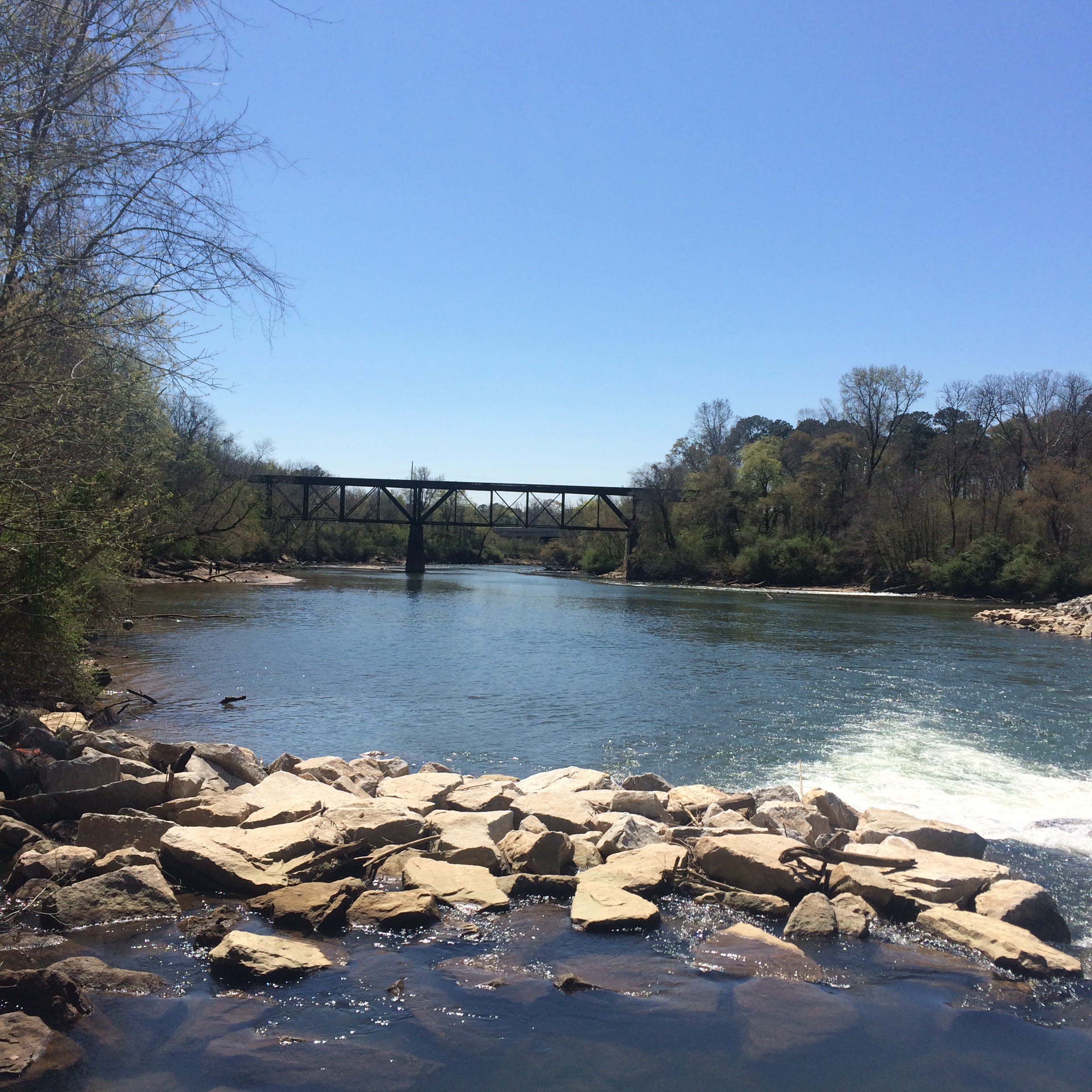
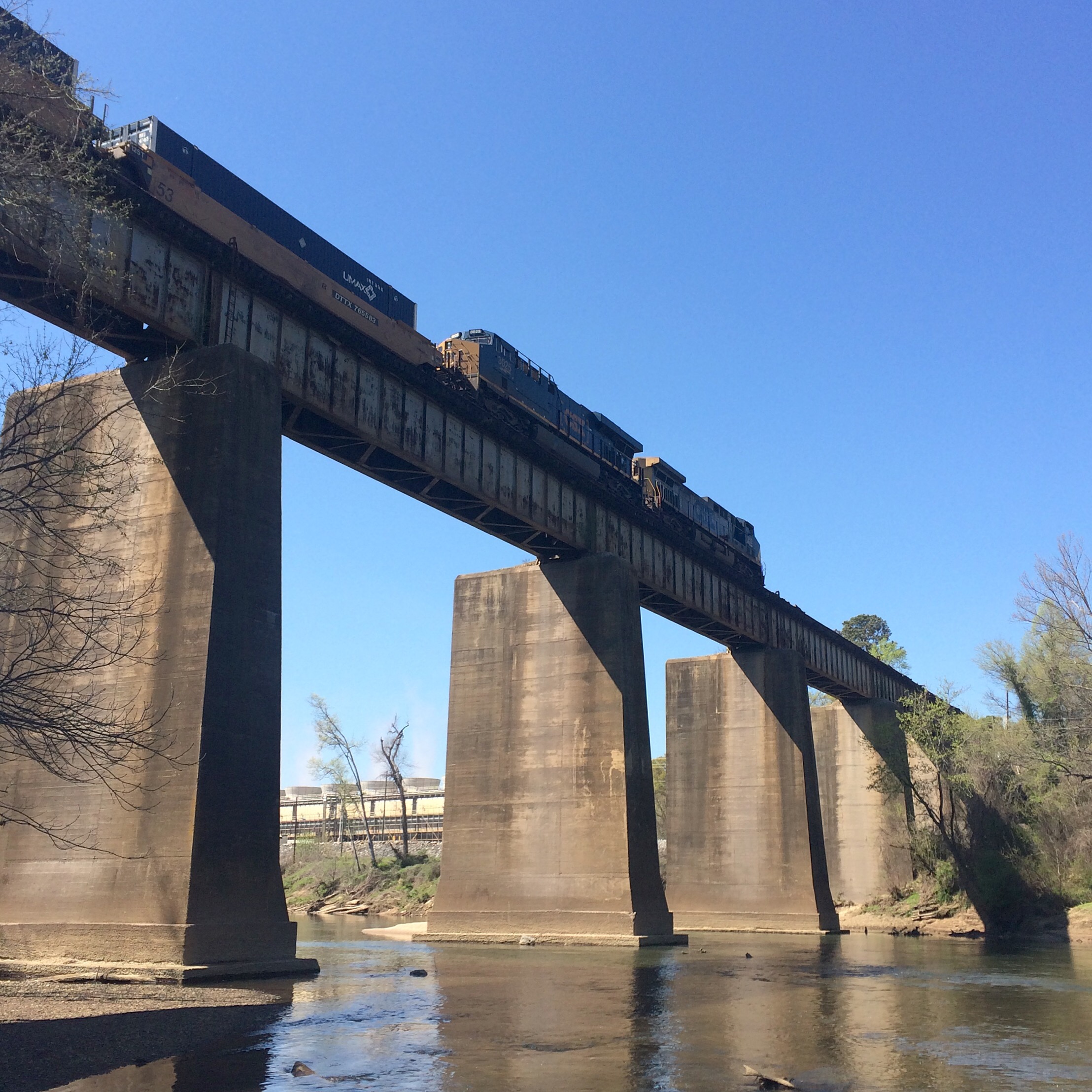
It lead to a view of the CSX railroad bridge, with Plant McDonough visible across the the river, that cannot be had any other way.


Returning to the trail, I followed it back under the road bridge to the old Seaboard Air Line rail bridge, and in doing so I met the men I had seen earlier fishing. They seemed concerned that I had “caught” them, as if I was someone who was supposed to be here.


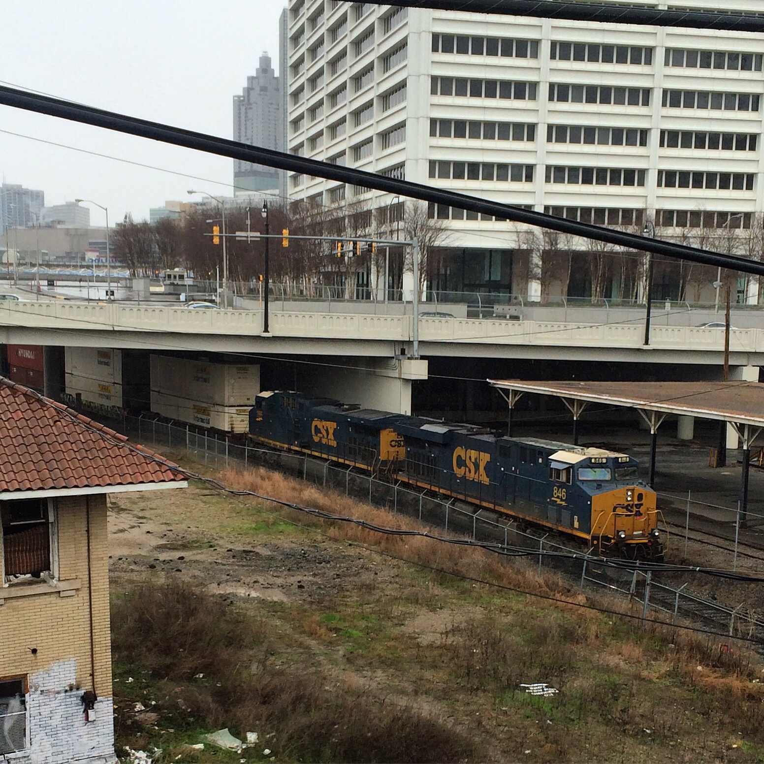
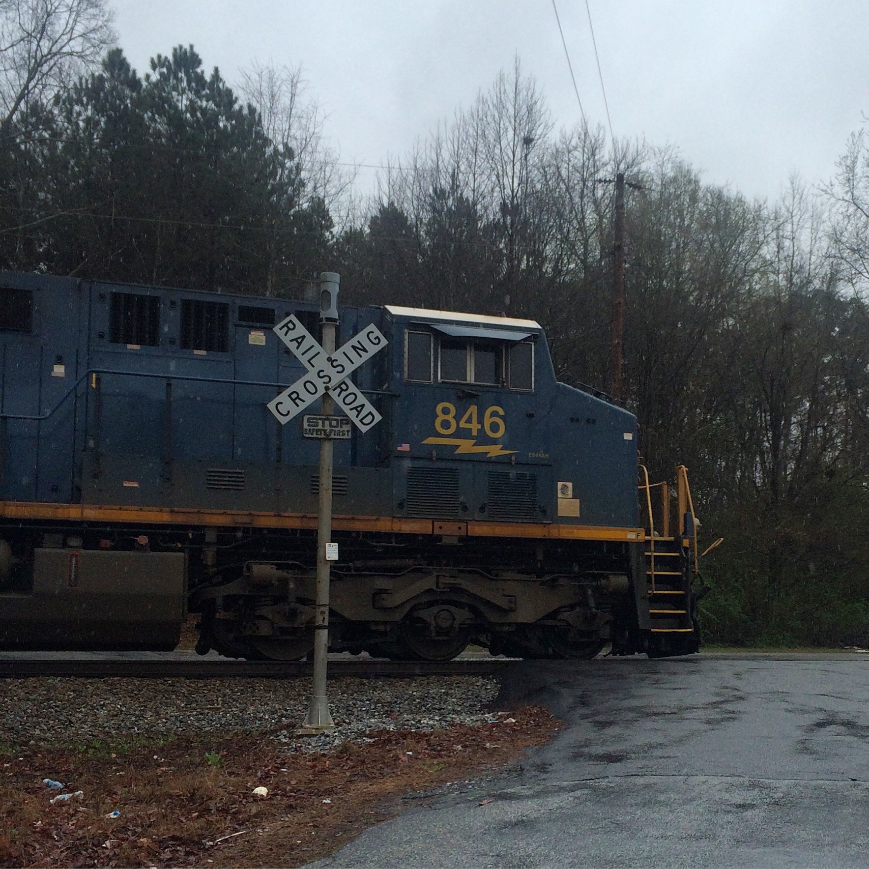
taken yesterday. I just wanted to get the full res versions uploaded.


This is the main area of the gulch, the biggest open-to-the-sky piece of ground in downtown Atlanta. As you can see it is currently a parking lot.

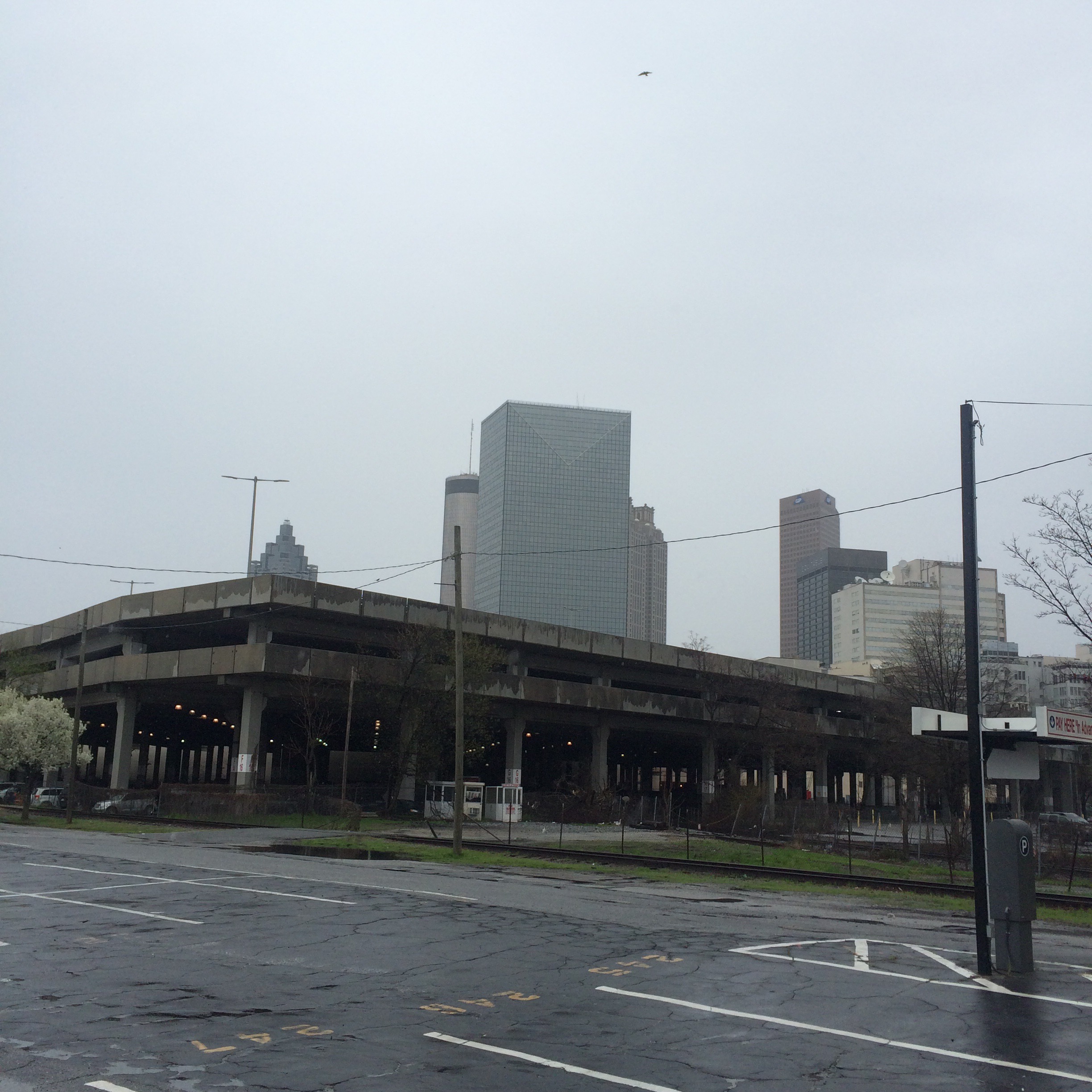
This area is directly in the middle of the triangle formed by the railroads at the center of Atlanta. In former times this would have been a tangle of yard tracks.
You would never know it but this is also on the Eastern Continental Divide.
Lots of people have ideas about what to do with this space. The Multimodal Passenger Terminal, if ever built, would use this space. There are also various plans to built elevated parks/plazas over the top of all this, up at the level where the viaducts run.
As it is, this space serves the city mainly as a place for tailgating during Falcons games.
These next are some pictures of the area between the Spring and Forsyth viaducts. Fairlie street runs into this parking lot from the north and ends. Cars frequently turn down Fairlie and then turn around once they realize it doesn’t go anywhere.
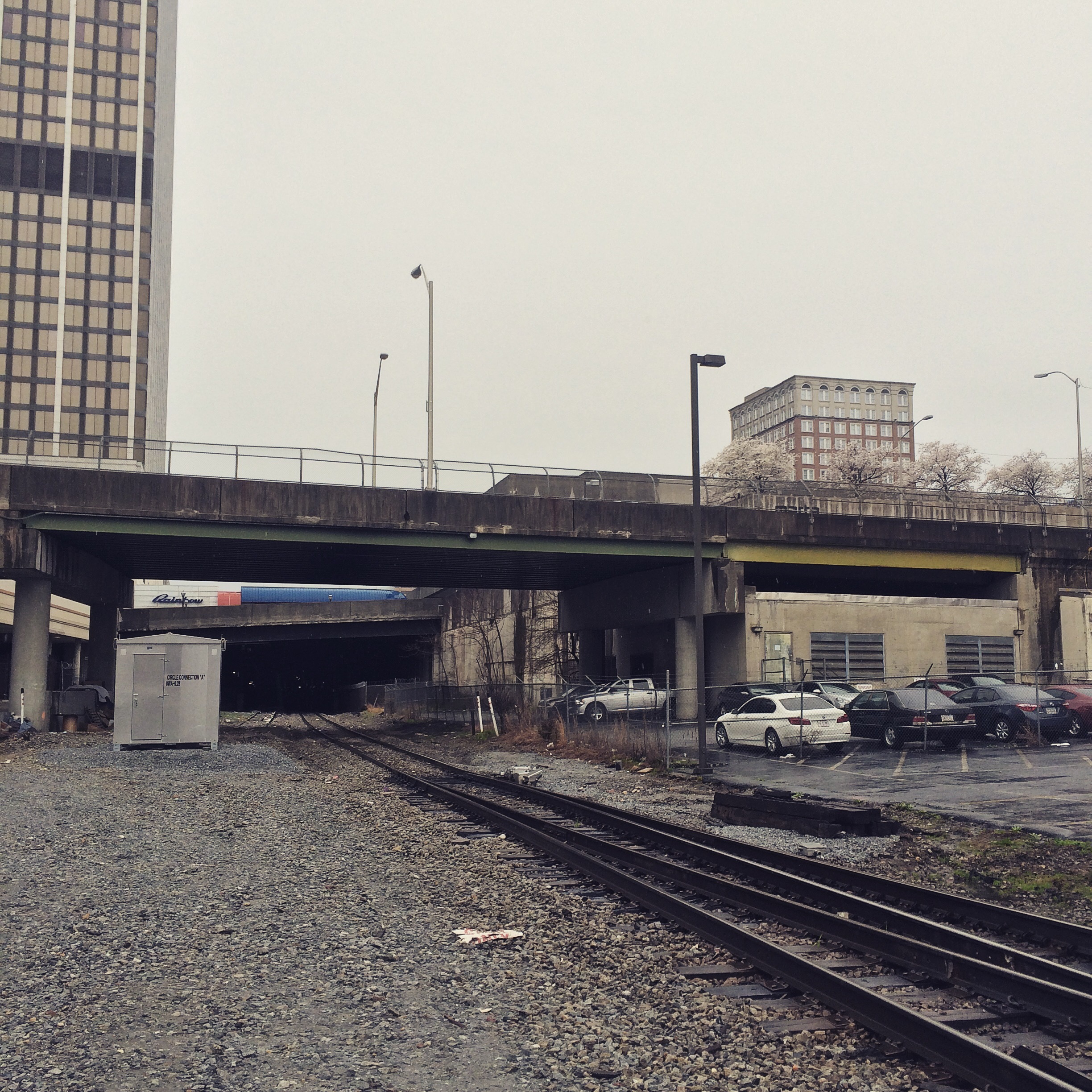
The two sets of tracks that split here form two sides of the “triangle”. This is one of the vertices. It is the only one that has a grade crossing that is still open to cars in modern times directly at the point of the triangle. It is also much simpler than the other corners, there being only two tracks here that have not been abandoned.
Formerly this was the location of Union Station, and the trackage would have been more complex. You can see unused rails in the dirt.
This connection called “circle Jubction” is the current mile zero of CSX’s Western and Alantic subdivision. The historical “zero milepost” is located slightly east inside a building. I believe it was the post that moved, not the railroad.
Another notable thing, you can actually drive beside trains for a few blocks through the underground parking decks to the east of here, without having to pay to park. You would be driving (I think) on the original alignment of Wall Street (with the modern street directly overhead) and you will pass under the intersection with Peachtree. You should try that once before they do something to mess it up.
This is one of the few online railfan guides to intown Atlanta that reflects the currently gentrified neighborhoods, some of which are unrecognizable from the mess they were in 15 years ago.
http://en.wikipedia.org/wiki/Seaboard_Air_Line_Railroad#The_air_line_name
In the days before air travel air line was a common term for the shortest distance between two points: a straight line drawn through the air (or on a map), ignoring natural obstacles. Hence, a number of 19th century railroads used air line in their titles to suggest that their routes were shorter than those of competing roads.
The Seaboard never owned an airplane. In 1940 the railroad proposed the creation of “Seaboard Airlines,” but this idea was struck down by the Interstate Commerce Commission as violating federal anti-trust legislation.
During a spate of interest in aviation shares on Wall Street following Charles A. Lindbergh‘s trans-Atlantic flight in 1927, Seaboard Air Line shares actually attracted some investor curiosity because of the name’s aviation-related connotations; only after noticing that Seaboard Air Line was actually a railroad did investors lose interest.[2]
The CSX Abbeville sub (Tucker, Lilburn, etc) is the major remaining Seaboard line in the Atlanta area. The line west of Atlanta became the Silver Comet Trail.
From this history of the Georgia, Carolina & Northern Railway:
Organized in December, 1886 to build a rail line from Monroe, N.C., near Charlotte, to Atlanta, the GC&N began construction in North Carolina in 1887. The line was completed to a connection with the Georgia Railroad at Inman Park on the east side of Atlanta in 1892.
Ok so it sounds like the original route of what eventually became the CSX Abbeville subdivision was the line that is now considered the “Inman Park belt”, rather than the current main line that runs from Emory to Howells yard. Hmm. That’s actually a shorter route. Why did they change it?
Because an injunction stopped the new line from entering the city of Atlanta from the east, the GC&N was forced to construct the Seaboard Air Line Belt Railroad in 1892. This eight-mile line branched off the GC&N at Belt Jct. (near Emory University) and ran west to a connection with the Nashville, Chattanooga & St. Louis Railway at Howells. By use of trackage rights over the NC&StL, GC&N trains were able to enter Atlanta despite the injunction.
Shenanigans! I don’t know what this “injunction” was, whether it was the work of competitors or of what you’d now call NIMBYs, but it looks like we have legal entanglements to thank for the current layout.
Now it gets even more interesting when considering Norfolk Southern and its predecessors. This 1872 map shows the Atlanta & Richmond Air-Line Railway, the earliest predecessor to NS’s Piedmont division line, connecting to the Georgia as well! That is, the line that is now the Atlanta BeltLine east-side trail was also the main line of its original railroad. The line around the north to connect to Howells seems to have been built later. (It is shown on the 1895 topographic map)
Incidentally, I don’t know that the “Atlanta and Richmond Air-Line” or its reorganized form “Atlanta and Charlotte Air-Line” ever had any association with the better known Seaboard Air-Line. I doubt it, but it seems to have been using the “air-line” name before the more famous road.
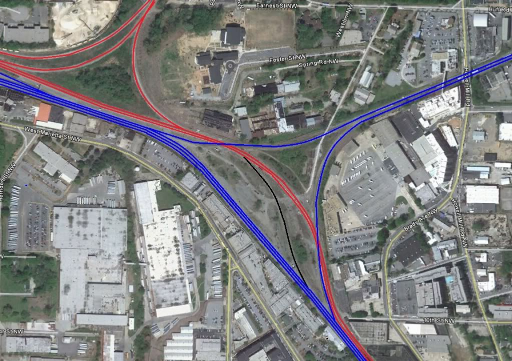
Legend (from original): “CSX lines are red, NS lines are blue, interchange lines are black”
Mr. Plow is a loser and I think he is a boozer, so you better make that call to the Plow King.
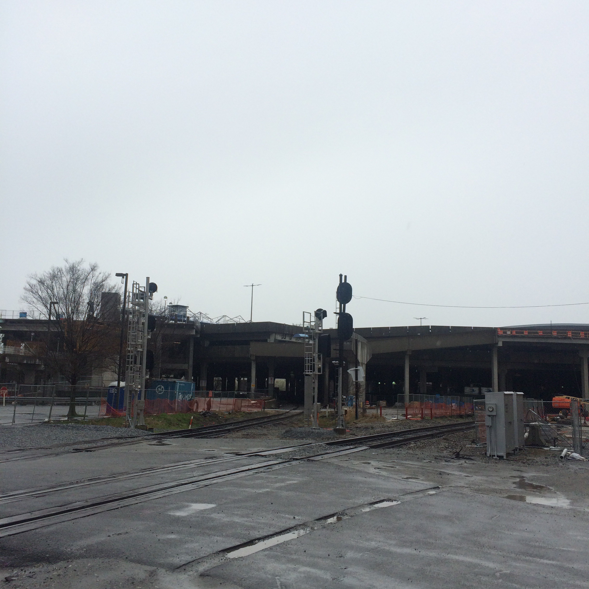
King Plow refers both to the King Plow Arts Center and to the NS control point located next to it.
The parking lots of the arts center are ok places to watch trains from, particularly the most northwestern one because it is the only one that is free to park in. I don’t have any photos to post from these parking lots because the fence ruins them, mostly.
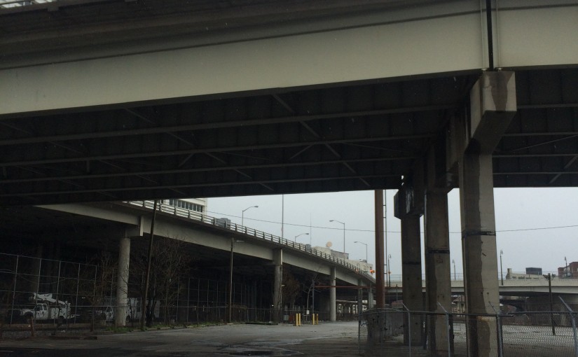
If you feel like getting out your car and walking around you will get much better views from the Marietta Street overpass.
I suggest getting there in the morning if you want to snag a parking space on the street near the bridge. This is a very busy part of town now that it is gentrified.
When looking north, you are looking at part of the large confusing interchange of NS and CSX tracks that is Howell Junction. You can’t see all of it from here. There is no one place to see all of it from. You can see different sides from the aforementioned parking lot, and from the end of Foster Street near the Goat Farm.
(At Foster Street you will be tempted to drive into the middle of the tracks and just park and wait for trains to go by. I have done this without incident, but not particularly lately. I’ve read it is a good way to run afoul of the railroad police. I wash my hands of the matter)
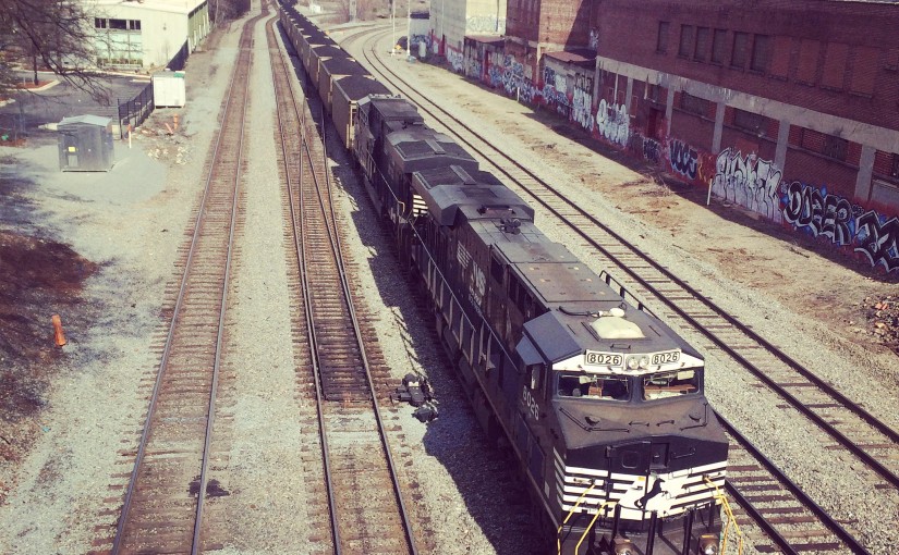
Here are a couple of southbound trains seen from the overpass. One of the two tiny buildings to the left of the tracks bears the actual green “King Plow” sign. Can you see it?
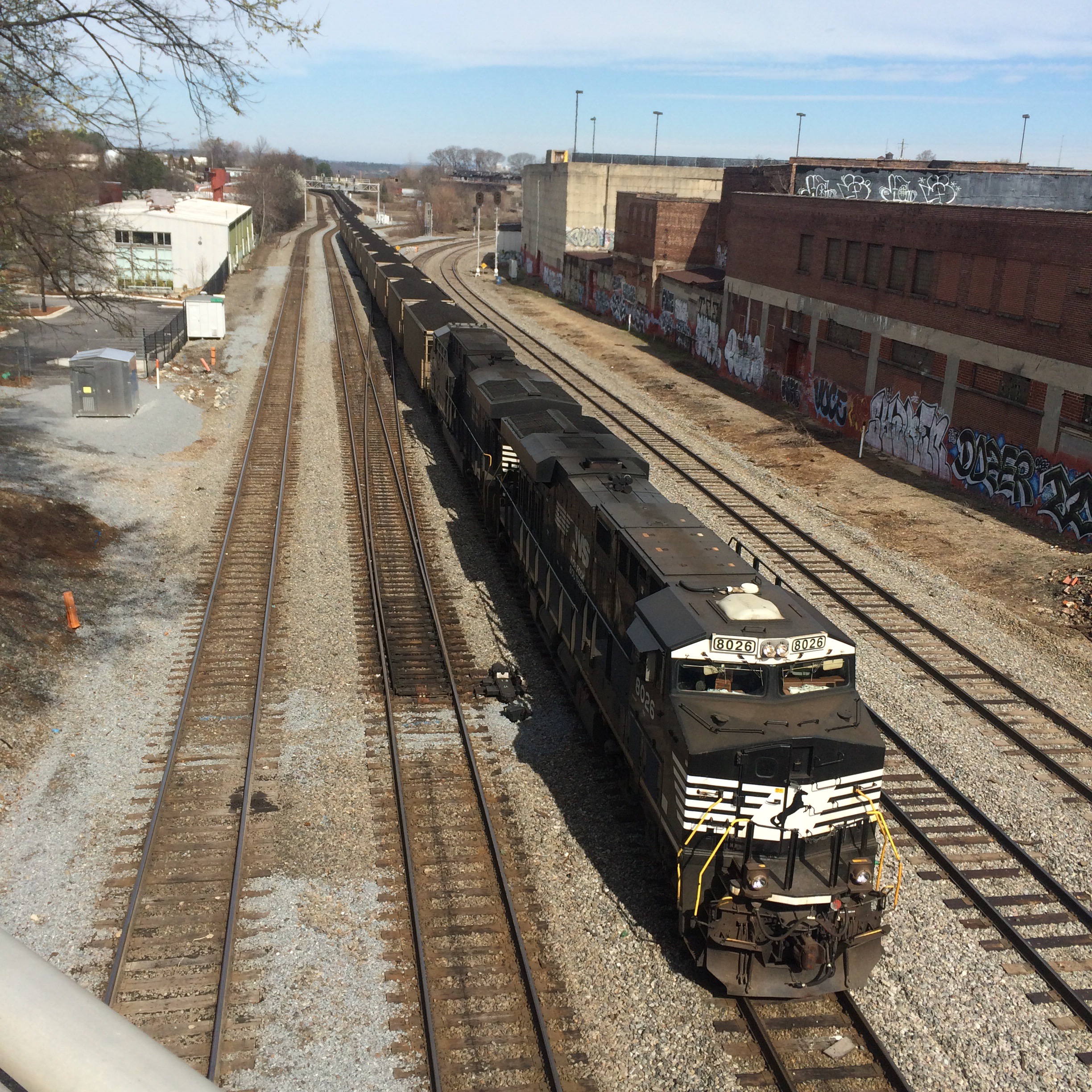
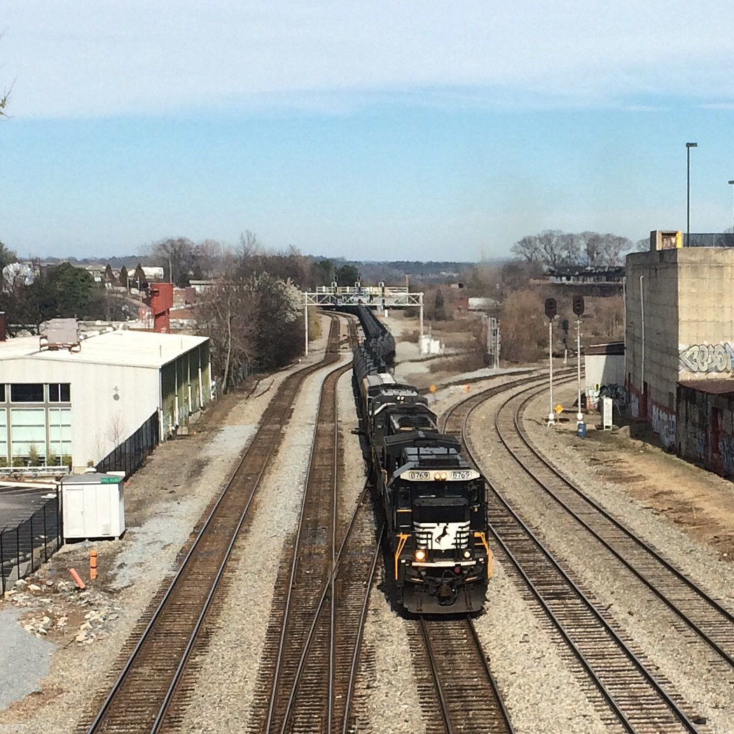
Looking south from here, trains have the downtown Atlanta skyline behind them:
This morning I took a walk on the BeltLine trail from the Ansley Mall access point northward. The northern part of the eastside trail is supposed to be completed in 2015. I figured I had better check out the “default” state of the old railroad before it is fully trailified. Better late than never right?
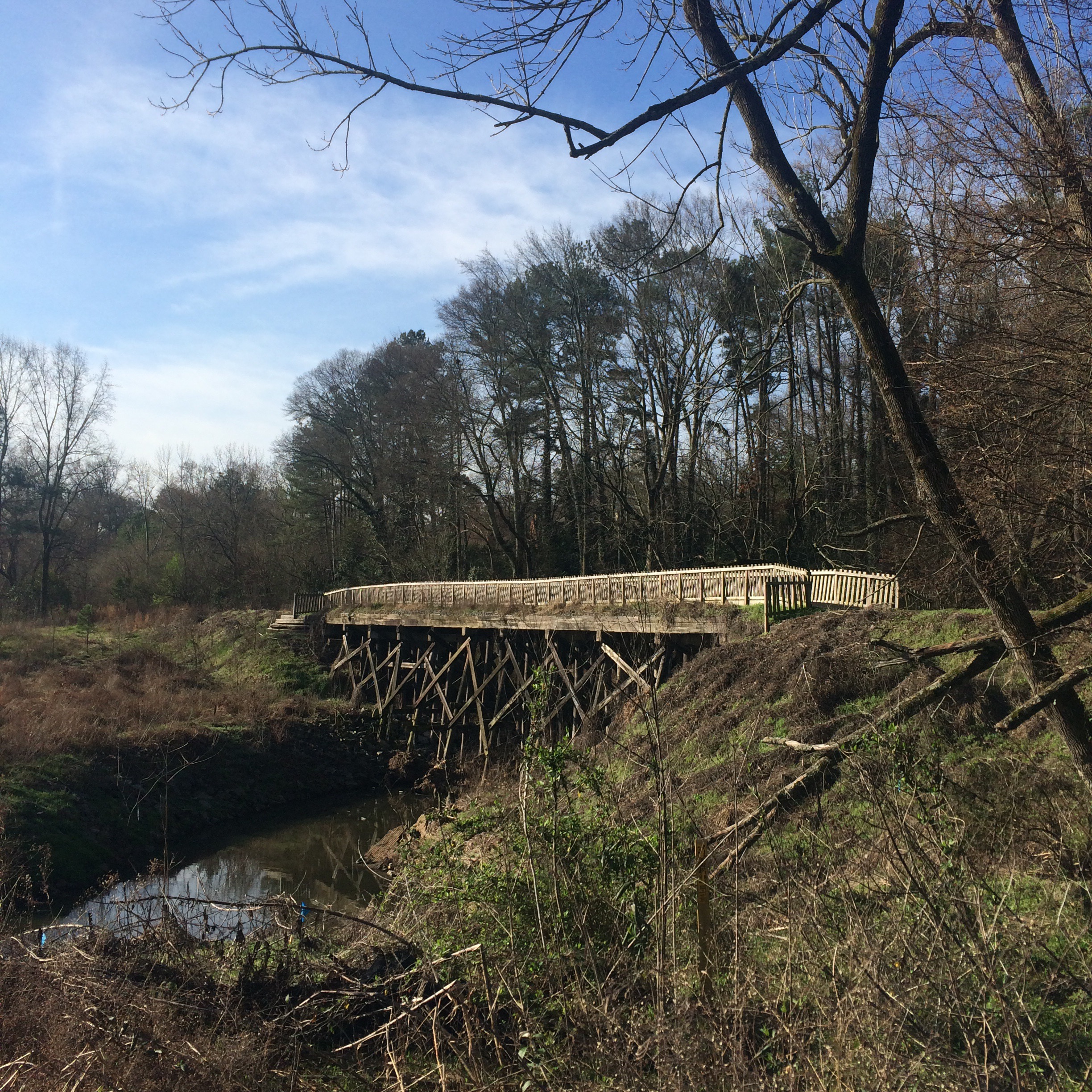
I started at the Publix parking lot, next to this old trestle bridge:
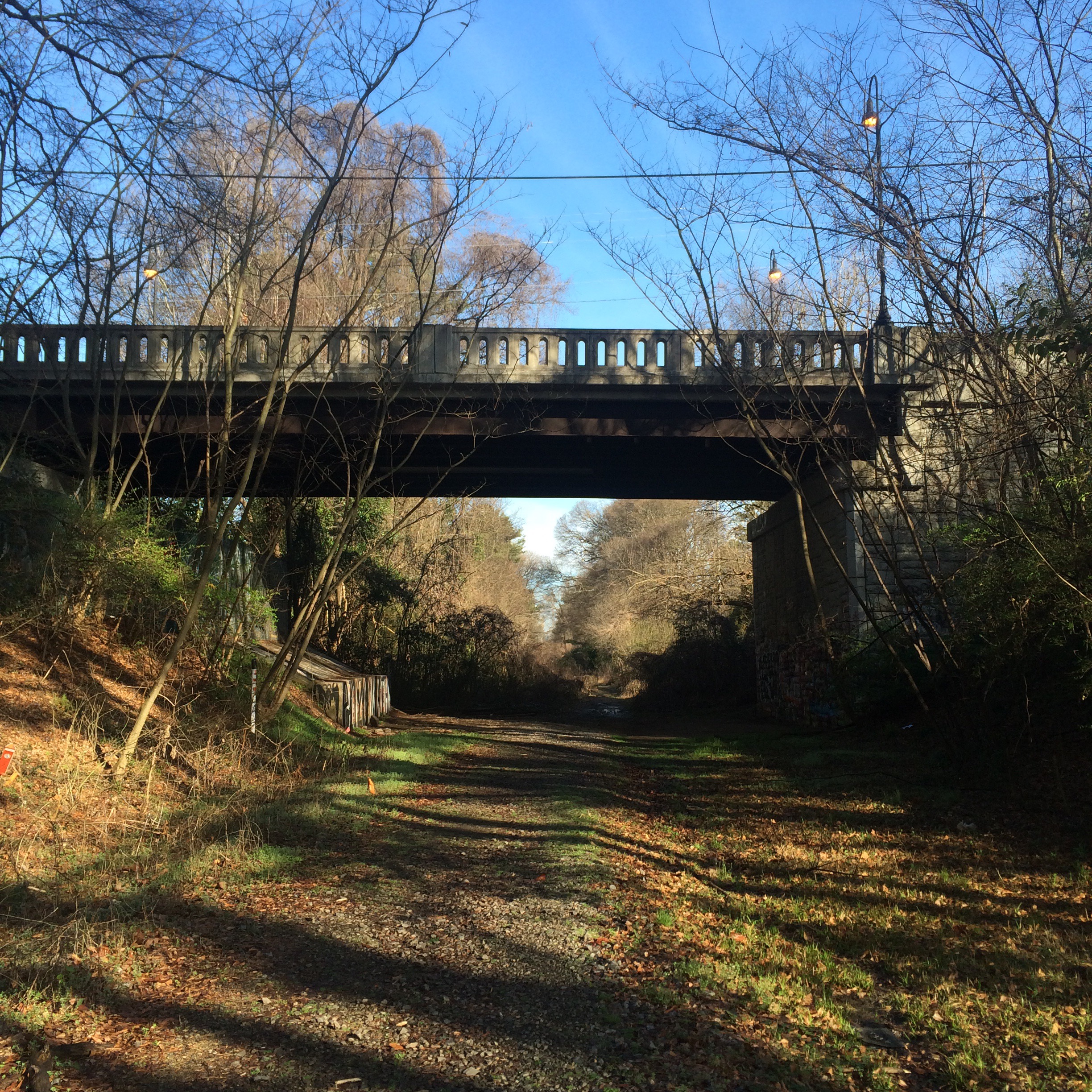
The Montgomery Ferry Rd overpass is pretty much the end of trail-as-such. This is where most of the people biking/running turn around and go back.
Past this point things briefly get muddy. But then you find yourself walking on a railroad.
The right hand track (walking north) actually looks semi usable by trains. The other one.. Not so much.
I have no idea if it is the railroad (Norfolk Southern) or the BeltLine organization that keeps this corridor clear of weeds.
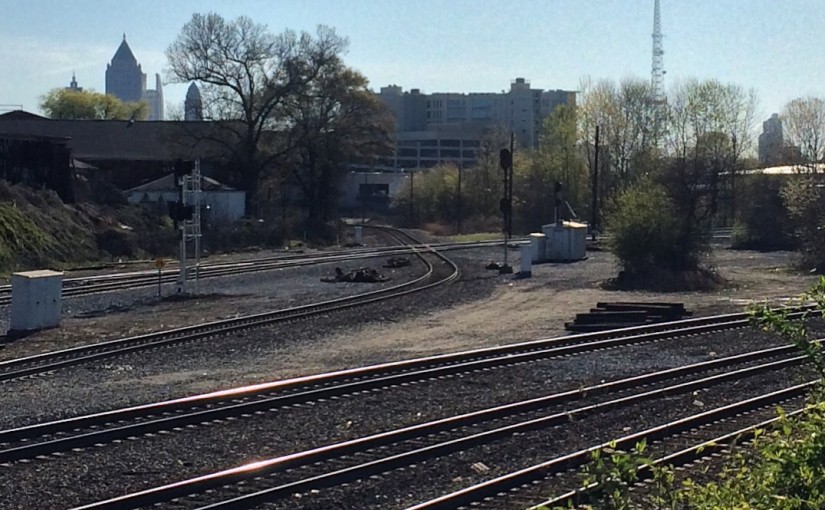
The rest of the way north the rail line goes over GA-13, under I-85, and under the MARTA tracks before reaching the NS main line at Armour Yard.