Atlanta’s bridge to nowhere

The Bankhead avenue bridge once carried US 78 over the railroad tracks. Now it stops abruptly in mid air.

Both NS and CSX pass under here. This set of tracks running parallel to Marietta street between about the King Plow center and the Georgia World Congress Center is a major funnel of train activity, and certainly was already in 1912 when this bridge was built. You can see why they would want to put a bridge over it.

Here are some photos taken on the approach to and on the bridge itself. These were taken a few weeks ago.

This is an older photo of the end of the bridge, clearly taken at a different time of year. As you can see, it just kind of.. stops. There is nothing to prevent you from just walking off the end of it.

I’m surprised you never see news stories about homeless people falling off of it.

The bridge and tracks under it can easily be observed from the Northside Drive bridge slightly to the north. This is not a bad place to stand waiting for trains, if you can find a place to park. I actually went to the bakery cafe at the corner of Northside and Marietta and bought something so I wouldn’t feel guilty about parking there.

I also went down under the thing to trackside level, to get pictures of trains going under it.


Just to give an idea of train frequency here. The three trains shown were 10 and 5 minutes apart. It had been about 30 minutes since the previous train which was leaving just as I arrived. I would expect this pattern to hold at most times of day.

Eastern Continental Divide (probably not the last you’re going to see of it here)

Atlanta was not built at a natural seaport (like Savannah) or at the head of navigation of a major river (like Macon and Augusta). Atlanta is near the Chattahoochee river, but is not actually centered on it, and is also much too far upstream for steamship navigation.

No, Atlanta was built as a railroad junction. You probably knew that. But what you may not know is that some of the oldest railroad lines, and some of the oldest roads, were built on top of the Eastern Continental Divide. This is the boundary that divides the rivers that drain to the Gulf of Mexico from those that drain eastward to the Atlantic.

There are good reasons why roads and railroads would be built on top of a natural watershed boundary. They avoid they need for bridges over streams, since by definitions the boundary lies between all the streams. They avoid low, swampy areas where early roads would get bogged down. The ridge can provide a relatively consistent elevation at the expense of being a bit twisty. “Ridgeways” have been in use worldwide for a long time. There is a trail in England called The Ridgeway which is over 5000 years old.

The ECD is not much remarked upon in Atlanta, mostly because it is a very gentle boundary. Atlanta is not mountainous. The ECD twists around through gently rolling hills. Because so many roads were built near it, you can drive through the city on it, and you get no sense of being on top of any kind of ridge. So most people don’t actually know it even exists, much less where it runs.

It is supposed to be a common belief that Peachtree Street runs along the ECD, but this is only true of a short section which was formerly called Whitehall Street. The main portion of Peachtree Street has little to do with the ECD.

I could not resist taking the 1895 topo map and adding a red line that vaguely approximates the ECD.  The map gives a mostly unobstructed view of the contours and streams, so the divide almost jumps out on its own. Click on this thumbnail to get the whole map.

ecd_1895_thumb

So many towns are centered on this invisible line. Jonesboro, Morrow, Hapeville, East Point, Atlanta, Decatur, Clarkston, Tucker, Norcross.

As you can see on the full map, the divide is actually not that far from the Chattahoochee. In fact you can see all the way from one side of the Chattahoochee’s drainage area to the other on this map.

This image from Wikipedia shows the entire Chattahoochee, Flint, and Apalachicola river system. The yellow area is that drained by these rivers.

Notice how narrow this drainage area is upstream from Atlanta. That is our water supply. All of the city’s (and several surrounding counties’) water comes from rain that falls on that small yellow area. This is why Atlanta’s water supply is threatened by drought every few years.

1895 map of Atlanta and surrounding areas

Another gem from the USGS store.

This thumbnail shows the long-abandoned Roswell Branch of the Southern Railway where it joins the main line in Chamblee. Click to get a much larger map covering a much larger area.

Notice that most of the Chattahoochee are still ferries on this map, rather than bridges. Holcomb Ferry is located more or less where Holcomb Bridge road is now, and so are the others.

The Eastern Continental Divide is rather easier to see on this map than on a modern map, if you know where to look.

roswell_railroad

Do all Class 1 US railroads connect?

I know they all connect into a single system, I mean is there one city or area that is directly served by all seven of them.

Looking at their route maps on all their wikipedia pages (and also using this), I actually don’t think there is. The closest you get is Chicago which has every railroad except KCS (the closest it gets is Springfield), and New Orleans which has everything except Canadian Pacific (which doesn’t come any further south than Kansas City).

So the answer to the question is no, they don’t.

But a drive around the Midwest would probably allow you to see all seven in one day. Hmm…


Tuscaloosa rail map

The explanation I tried to give about the abandoned tracks in Tuscaloosa in my last post probably makes more sense if you look at this map. Click the map to enlarge it.

For reference, this is the photo of the “approximate photo location”:

IMG_5438.JPG

The main reference for the location of the street railway is here.

Again with Alabama train pictures

A last-minute one-night trip to Tuscaloosa afforded me the opportunity to do some rail fanning on the way back, mostly CSX in the Birmingham area.

I did not go looking for trains in Tuscaloosa itself. This is the only photo taken in Tuscaloosa, and it shows the remaining ballast and ties of the L&N line from Birmingham to Tuscaloosa. This was taken near the city water works along Jack Warner.

(null)

Rest assured there is still plenty of active rail in Tuscaloosa but we won’t be visiting it today.

Now in between here and Birmingham a couple of things happen. This line crosses the Alabama Southern shortline, which operates the former ICG eastward from Mississipi into Alabama. Eastward from that crossover, the dead L&N line goes active and used by Alabama Southern to send trains to CSX in Birmingham.

At Brookwood, the track comes under CSX ownership, the direct successor to the L&N. This is the “Birmingham Mineral subdivision” and it serves the still-active mines in that area.

This is a coal train that I caught next the the Lowe’s store off of I-20/59 in Bessemer, where the line from Brookwood joins with tracks that make a loop around the western side of Birmingham.

(null)

Here you can see another train waiting for this one to pass:

(null)

I was able to stay ahead of the train for a while and caught it again a couple of times.

(null)

Now back to downtown Birmingham. I got Amtrak 19 as it came into the station, and an intermodal train that passed immediately after.

(null)

(null)

These are views taken from the 1st avenue north viaduct that overlooks the 27th street interlock. I stood out on that bridge long enough for three trains to go under it before leaving Birmingham.

(null)

(null)

(null)

More Birmingham

When I said “it’s almost like it was designed by a railfan”, that may or may not literally be the case, but the downtown street grid was planned around a “railroad reservation”, as Birmingham was laid out in the 1870s at the height of railroad importance.

As the “Birmingham Wiki” says:

The Railroad Reservation is a plot of land, 1000 feet wide by 4,780 feet long in the center of Birmingham‘s street grid, set aside in William Barker‘s original plat of the city for use by the railroads and related industries.

The tracks within the railroad reservation remain active today, giving people in Birmingham a rare opportunity to engage in trainspotting or benching in the midst of the downtown core.

This “bird’s eye view” drawing from 1885 shows the area around Sloss Furnace. Just look at those happy little trains. The railroad lines are recognizable. The train nearest the top of the picture is on what would now be the CSX, the middle train is on the NS, and the bottom train is on a segment of track that no longer exists but is continuous with the extant Alabama and Tennessee River. Most of the land is still empty, but the street grid is already laid out.

That image is from Birmingham Rails, which has a lot of interesting maps and other images if you follow the links.

What follows is a smattering of pictures taken at various places around the city.

NS SD40-2 on the north side of town with an obviously ex-BN green one with spraypainted change of ownership:

IMG_5219

(null)

The tail end of a CSX train passing over Graces Gap, which is where northbound trains cross over Red Mountain into Birmingham proper. This train has already passed the CSX control point called “Grace’s”, which is slightly south.

(null)

Caught the lead ES44AC of another train from the same overpass:

(null)

I managed to beat that train downtown, and catch it again from the parking lot of Carrigan’s Public House.

IMG_5264.JPG

A different CSX train, this one showing the contrast between the “Bright Future” and “Dark Future” (fan nickname) paint schemes:

(null)

UP power on NS, taken down under the Richard Arrington Blvd bridge.

(null)

Downtown Birmingham Railfanning

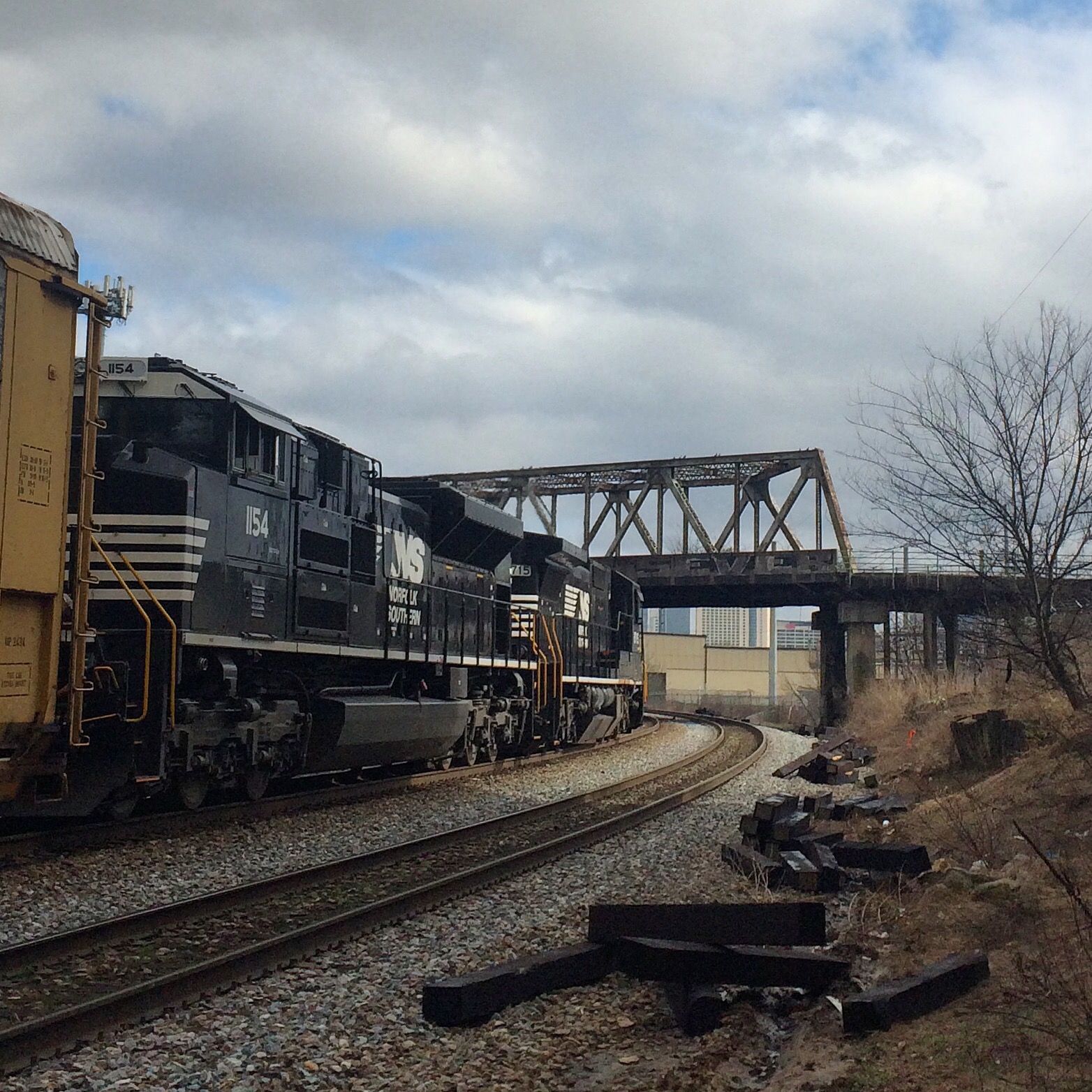
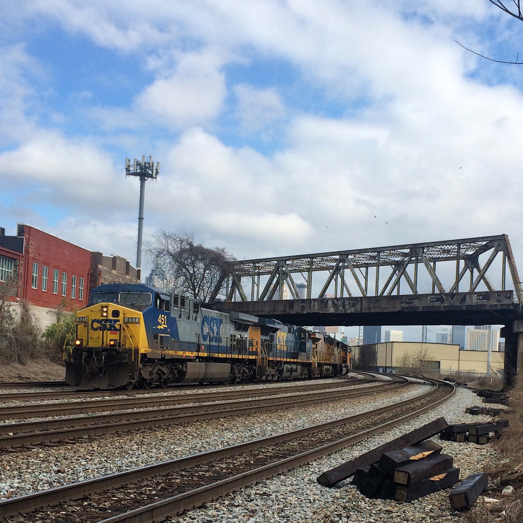
Downtown Birmingham is not only better-preserved than downtown Atlanta, it is also much easier to watch trains. It’s almost like they let a railfan design the place.
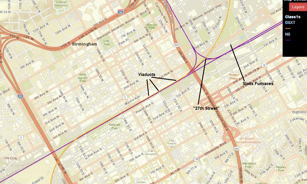
bham

Viaducts

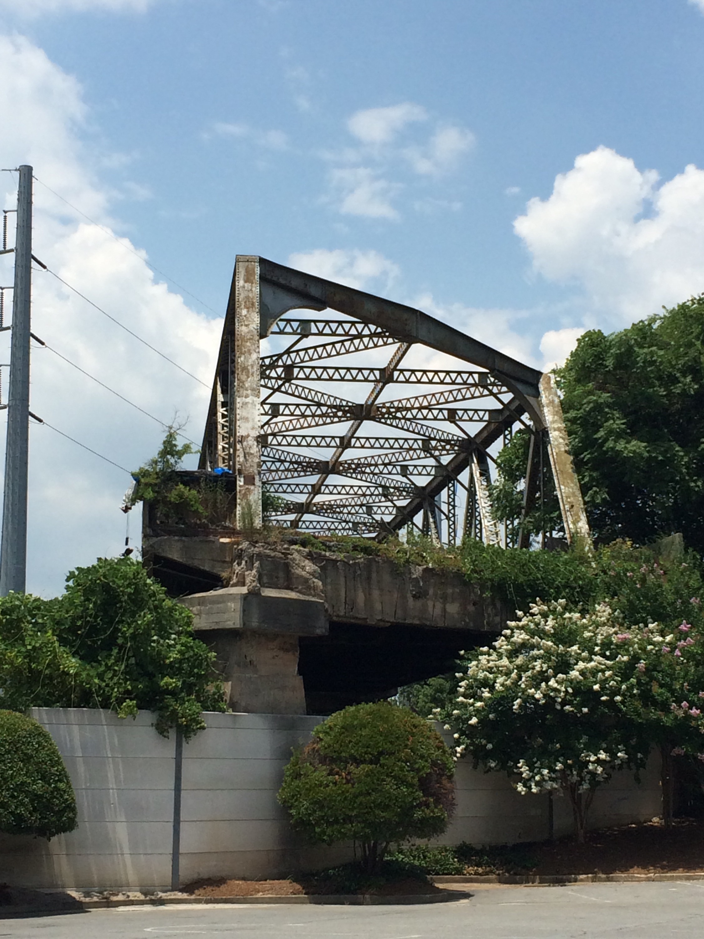
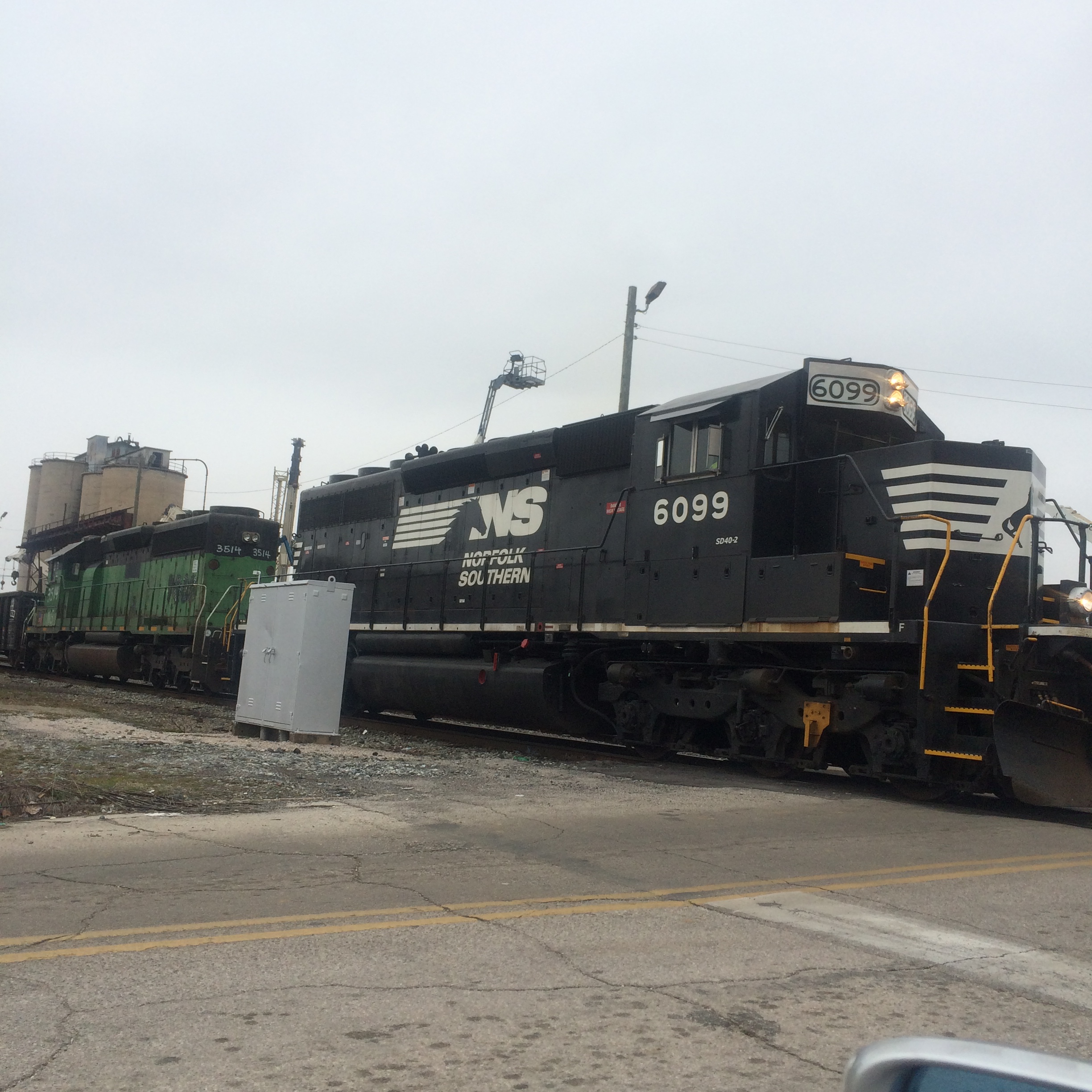
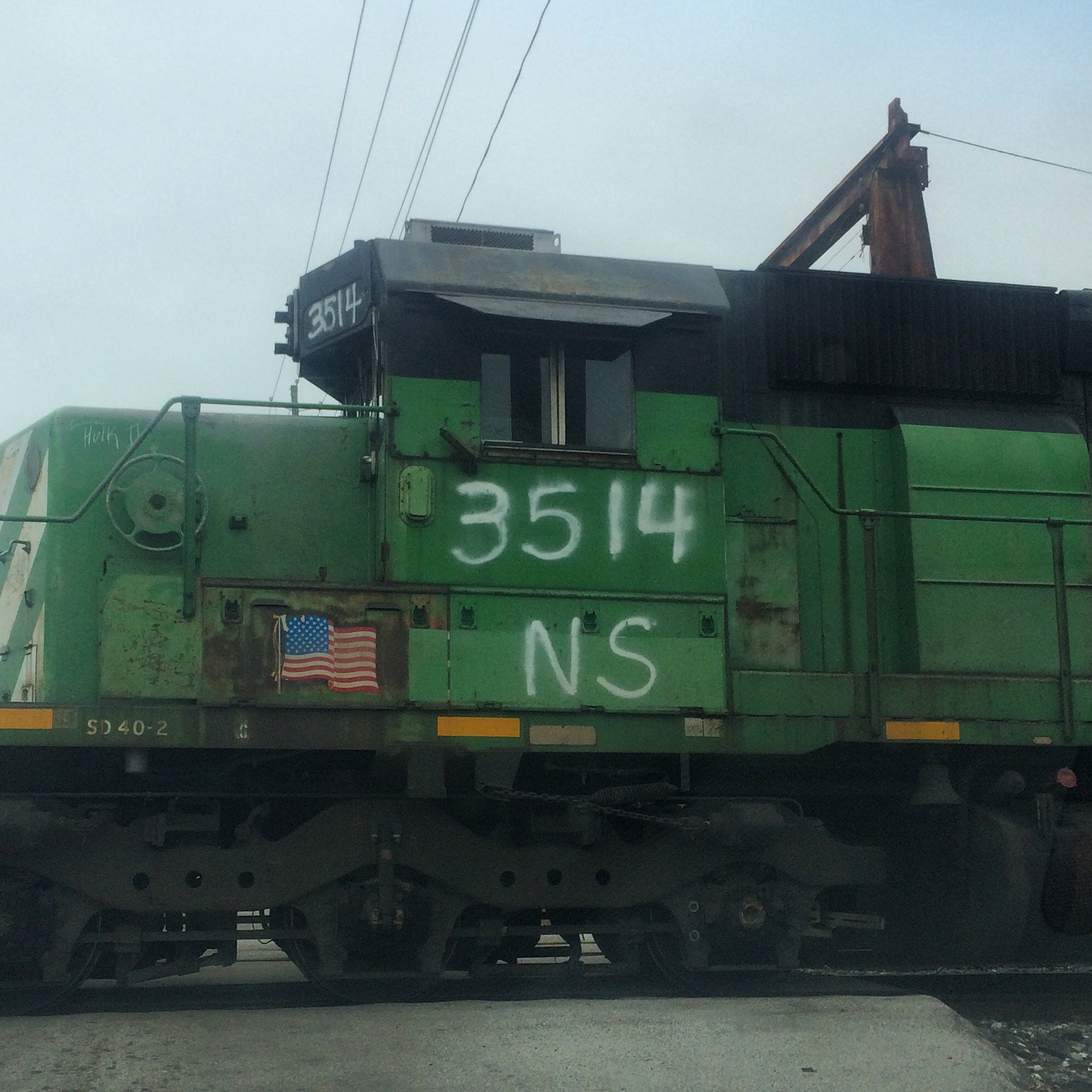
Birmingham has its own equivalent of Atlanta’s “gulch”, sort of. NS and CSX run right beside each other through the very center of town. Both railroads are double-track, and there are additional sidings and such, so a fairly wide path through downtown is devoted to rail.

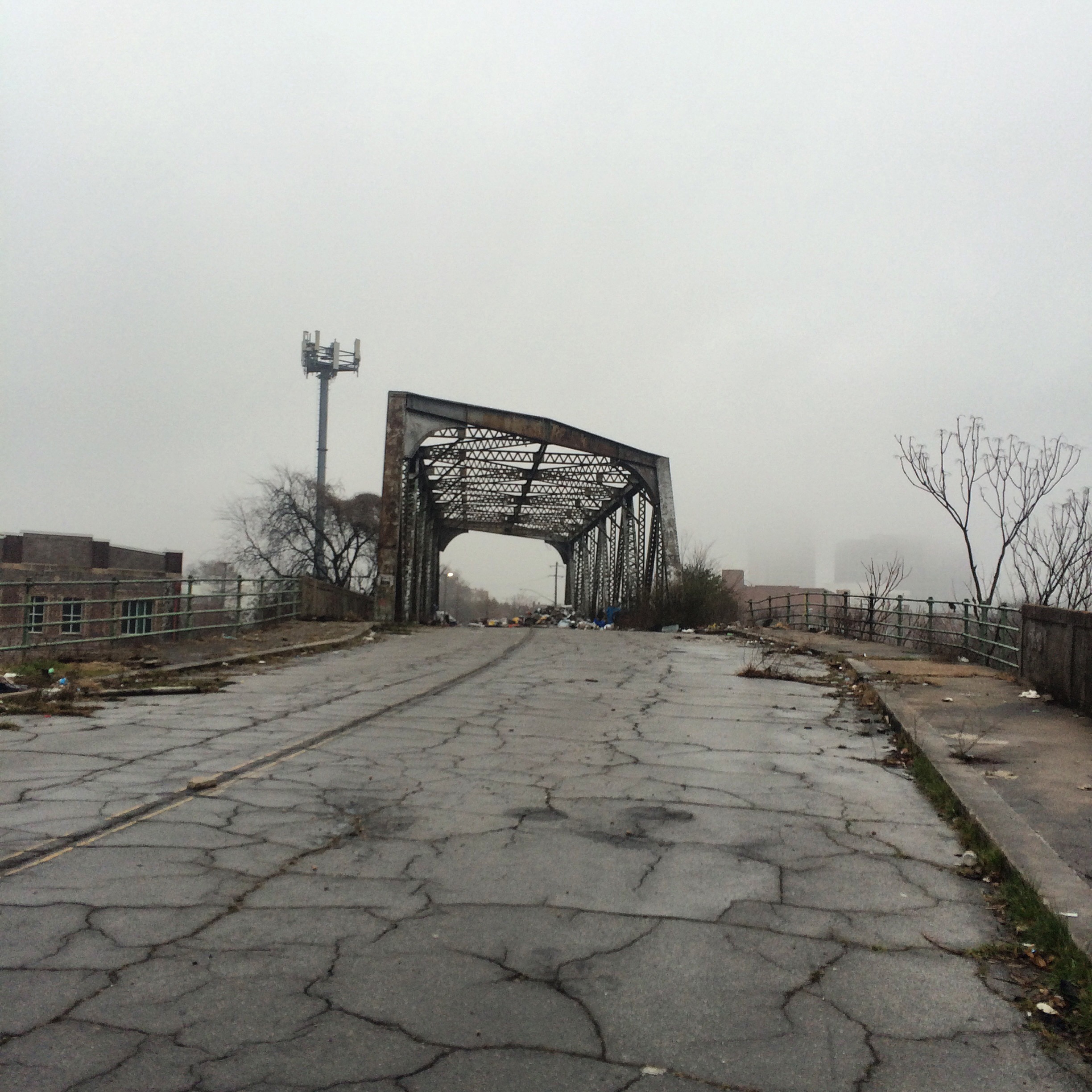
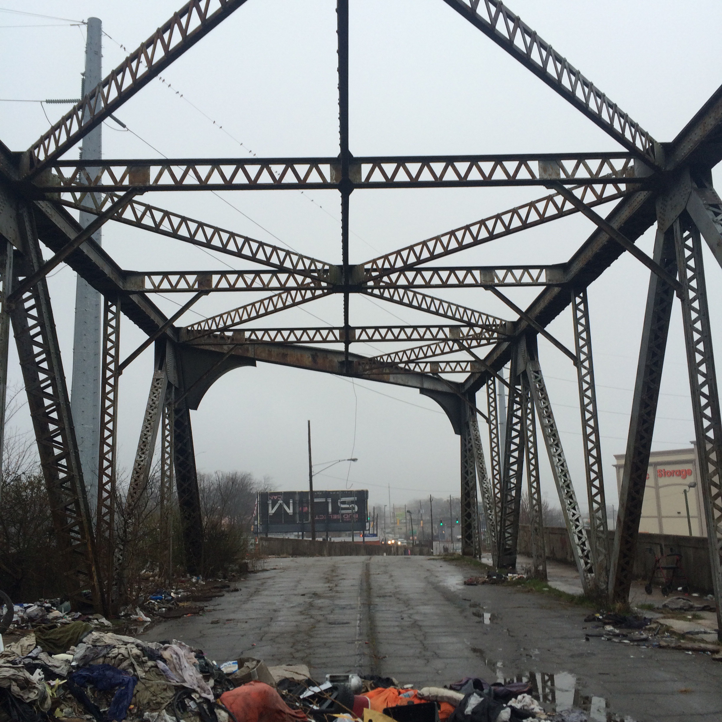
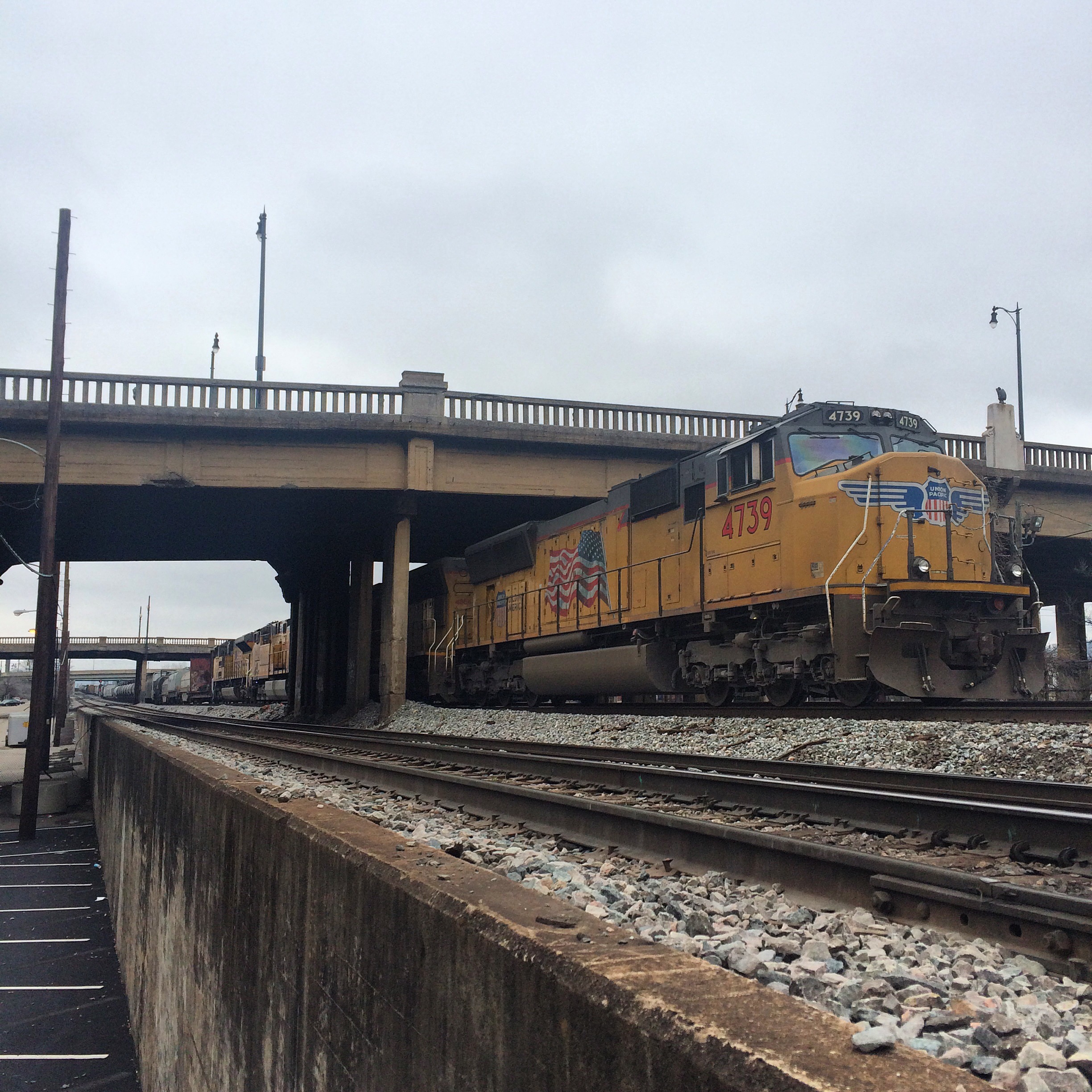
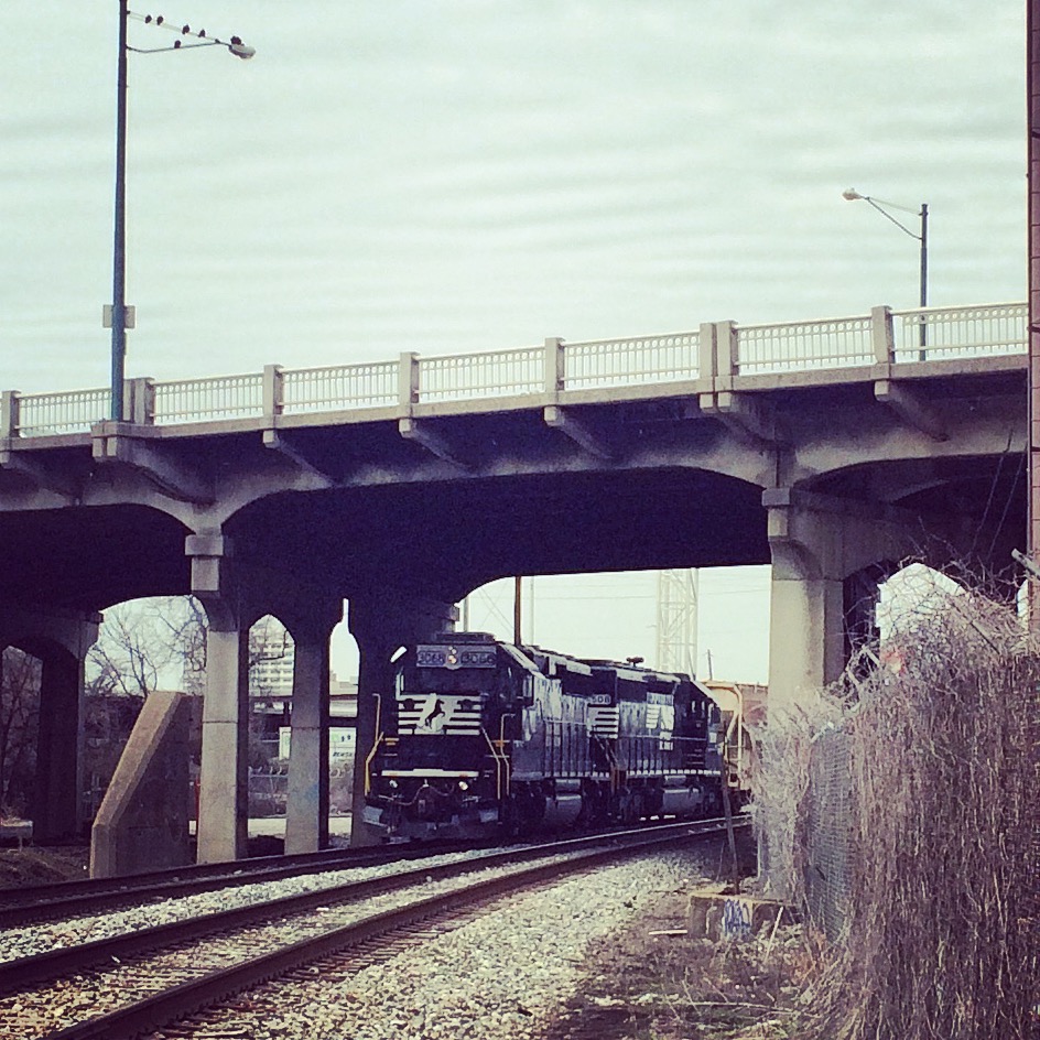
Birmingham’s downtown street grid is (as in Atlanta) grade-separated from the railroads, except that in Birmingham many of the surface streets go under the tracks rather than uniformly over. The freeways and a few surface roads go over the tracks on viaducts that provide a good view of the trains below.

Birmingham has not built any structures completely over the top of the tracks, as Atlanta has. Therefore the view from the viaducts relatively unobstructed.

The bridges on 22nd street and Richard Arrington Blvd (which occupies the place of “21st” street in the grid) have curbside parking spaces on the bridge, so you can pull your car over right in the middle and stand next to it waiting for trains to come by.

You shouldn’t have to wait long, because these viaducts span main lines of both NS and CSX. (Birmingham’s other Class 1, BNSF, is a topic for another day)

The 24th street viaduct provides no such parking, and the sidewalk is only on one side of the road, so it is not as good as the others.

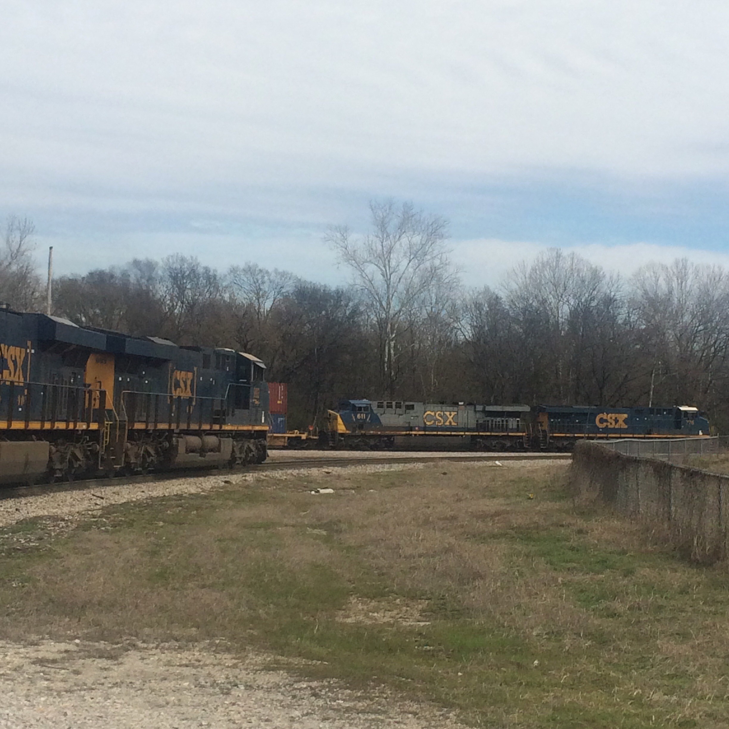
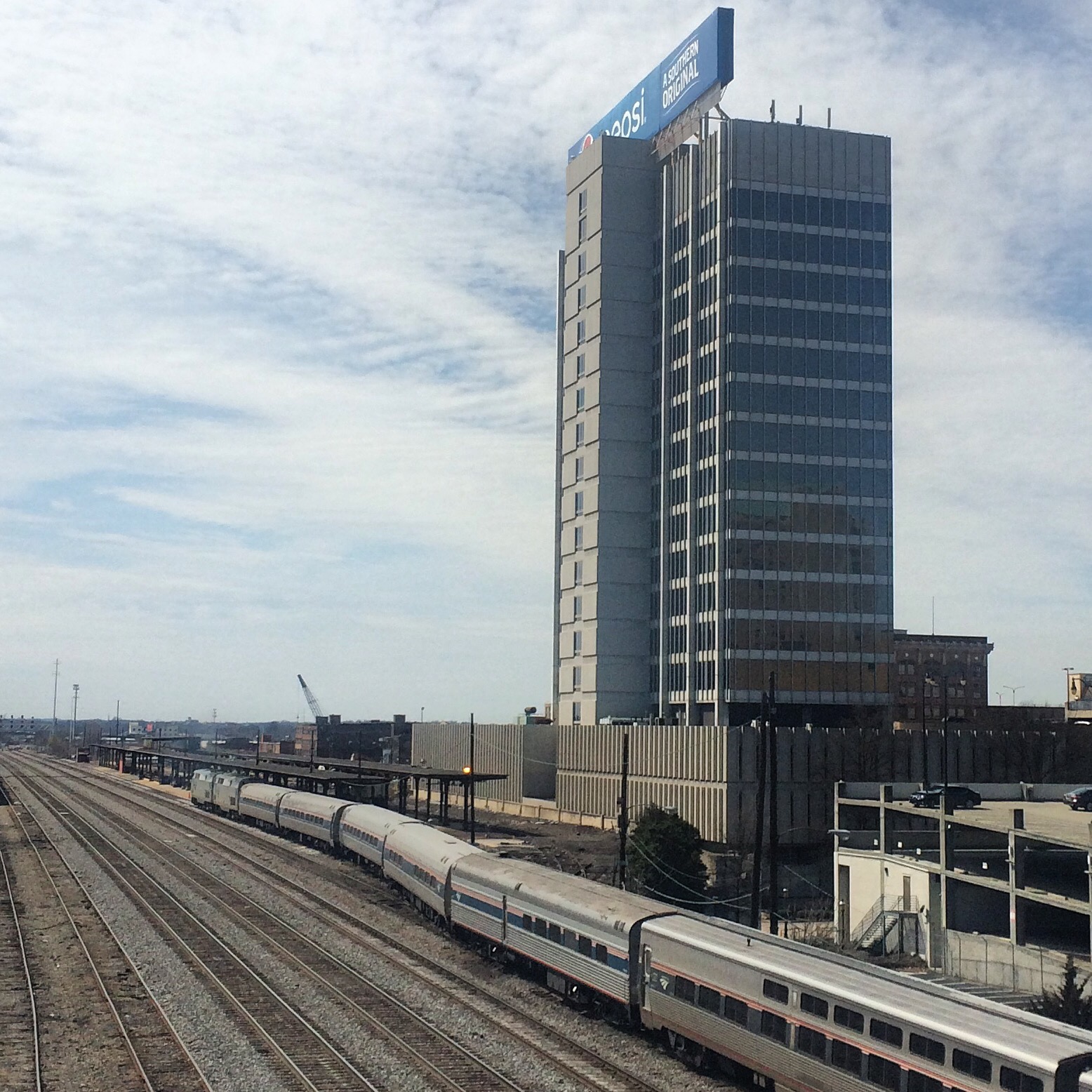
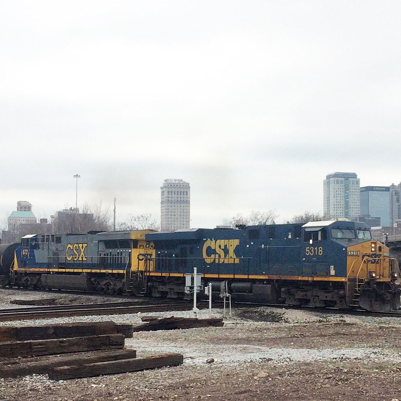
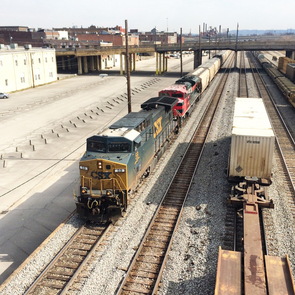
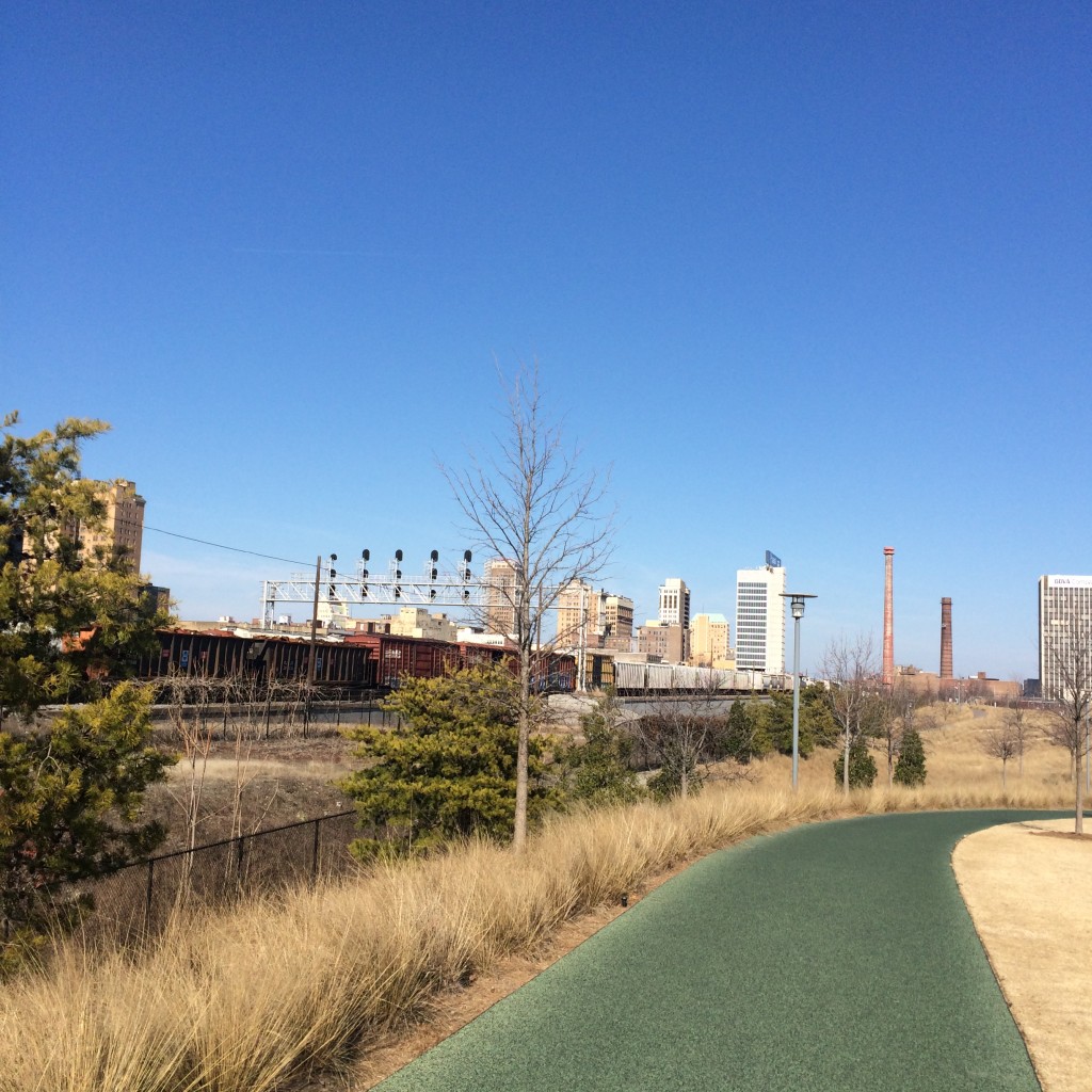
This is a view looking southwest from the Arrington Avenue viaduct. To the right of the tracks in the distance you can see the platforms of the Amtrak station. These two photos show two trains that went by in rapid succession, you can see the end of the first train still in the second picture.

IMG_5072.JPG

IMG_5089

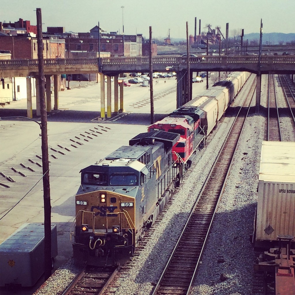
This is looking northeast from the same place (and same train). Mountains loom ominously on the horizon.

IMG_5091

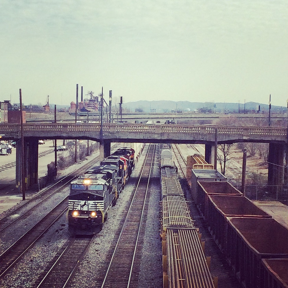
Some blatantly “instagrammed” pictures of the same trains. You can see the Sloss Furnaces pretty clearly in the background of these.
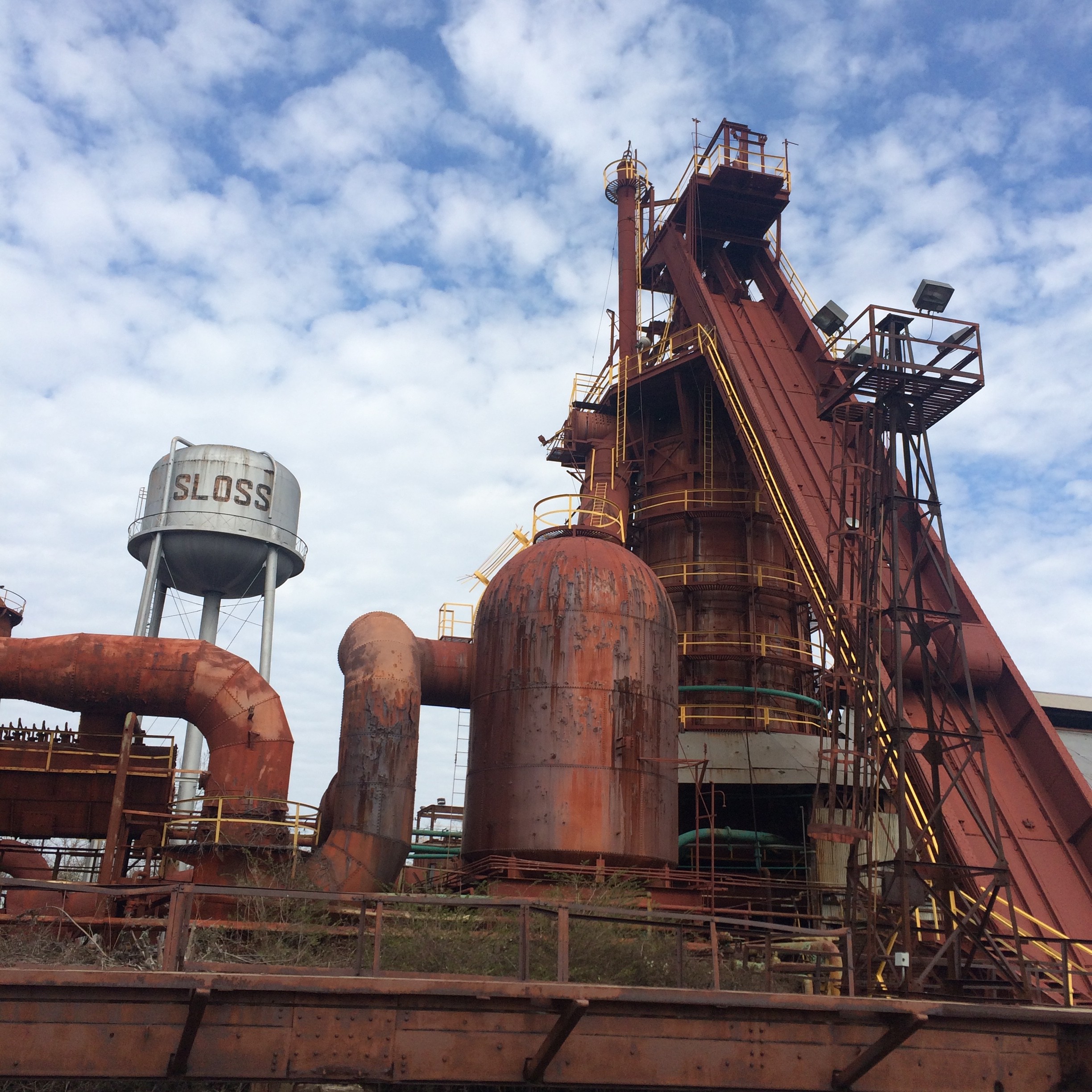
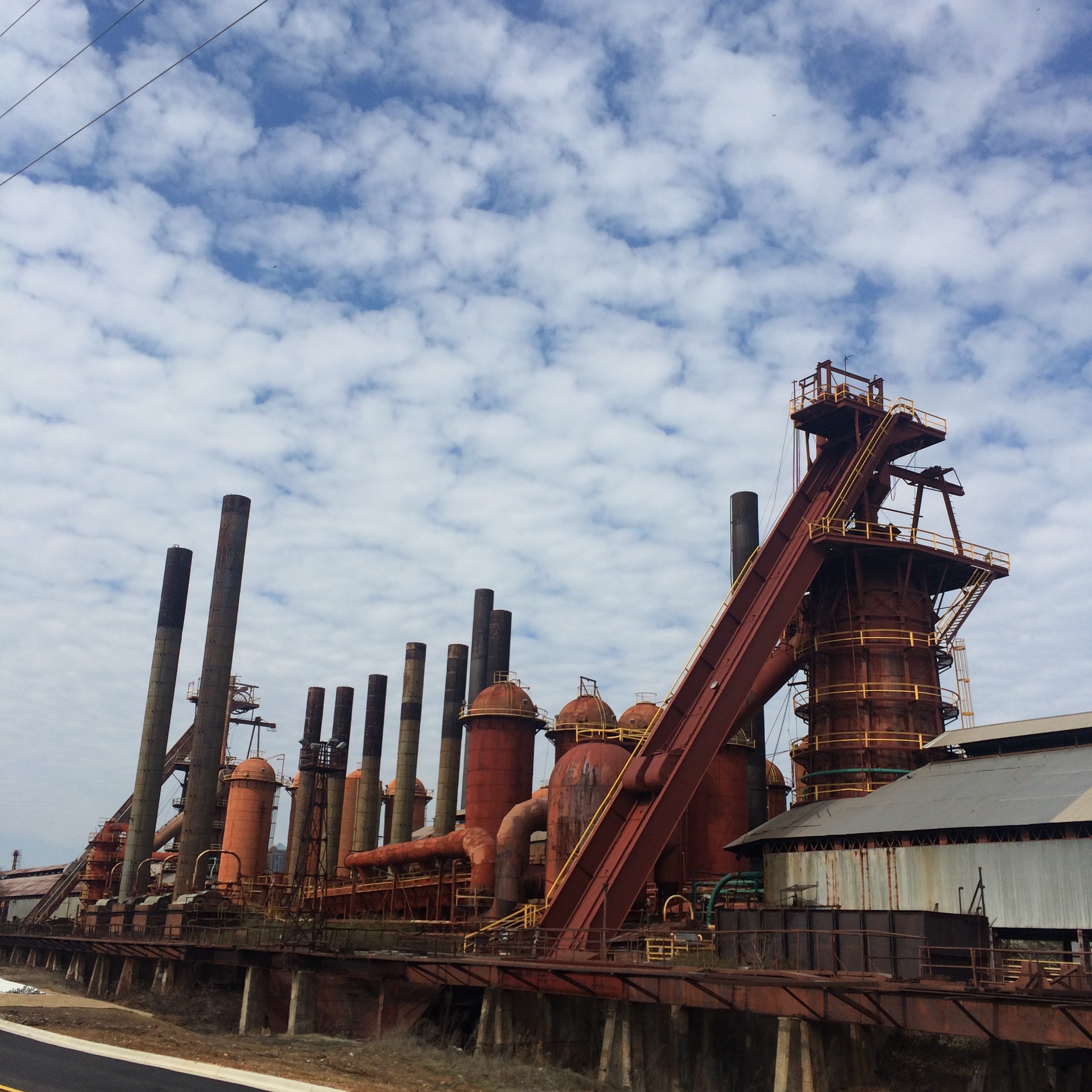
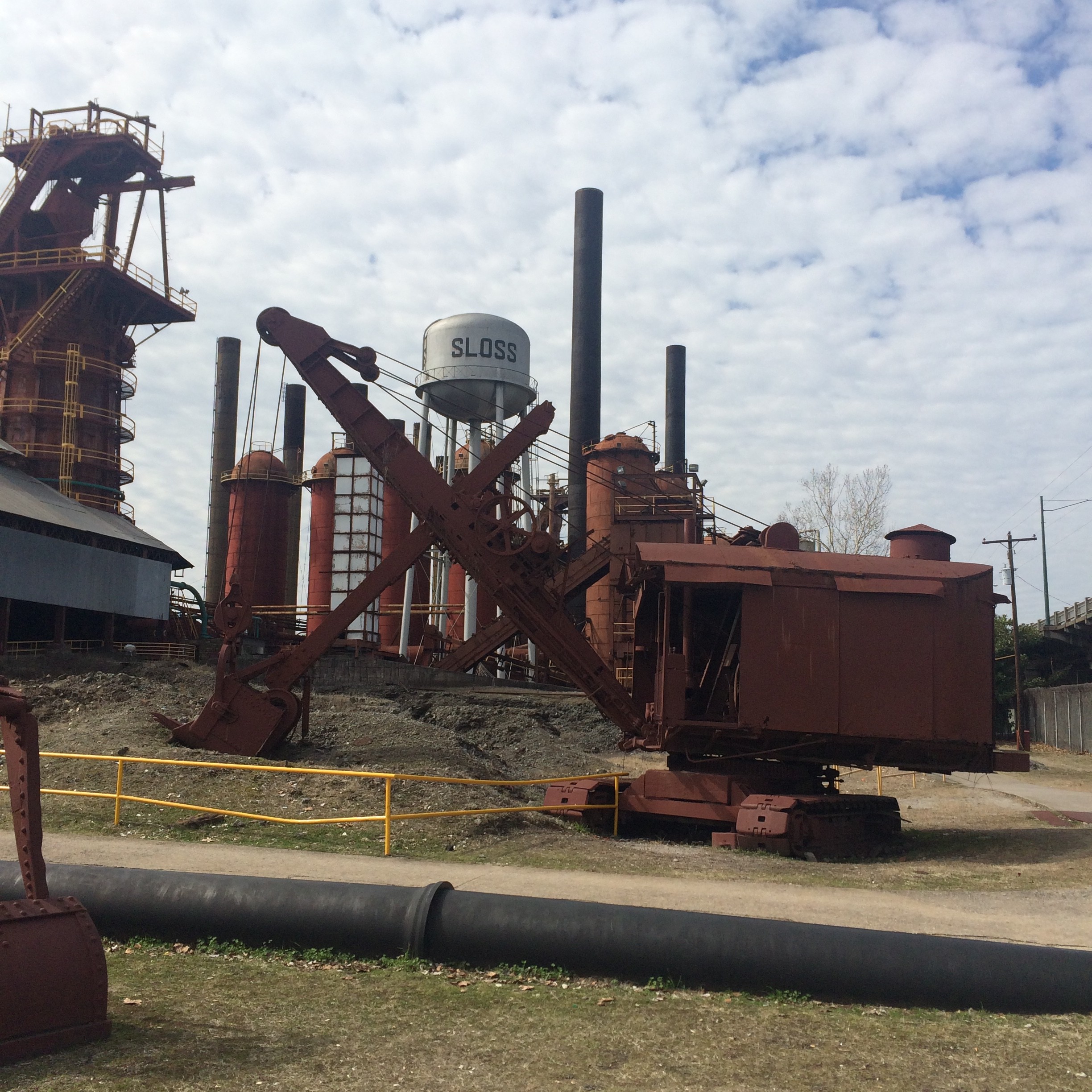
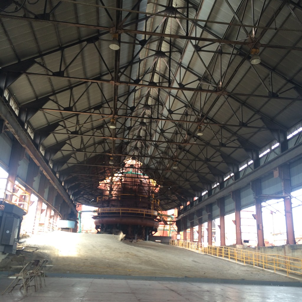
IMG_5092

IMG_5075

Sloss Furnaces

Speaking of which, before getting back to the rail pictures, let’s throw in a few of the Sloss site itself. If you don’t look at these and say “I want to go to there“, then I don’t really understand how you like trains either.

IMG_5103

IMG_5099

IMG_5096

IMG_5097

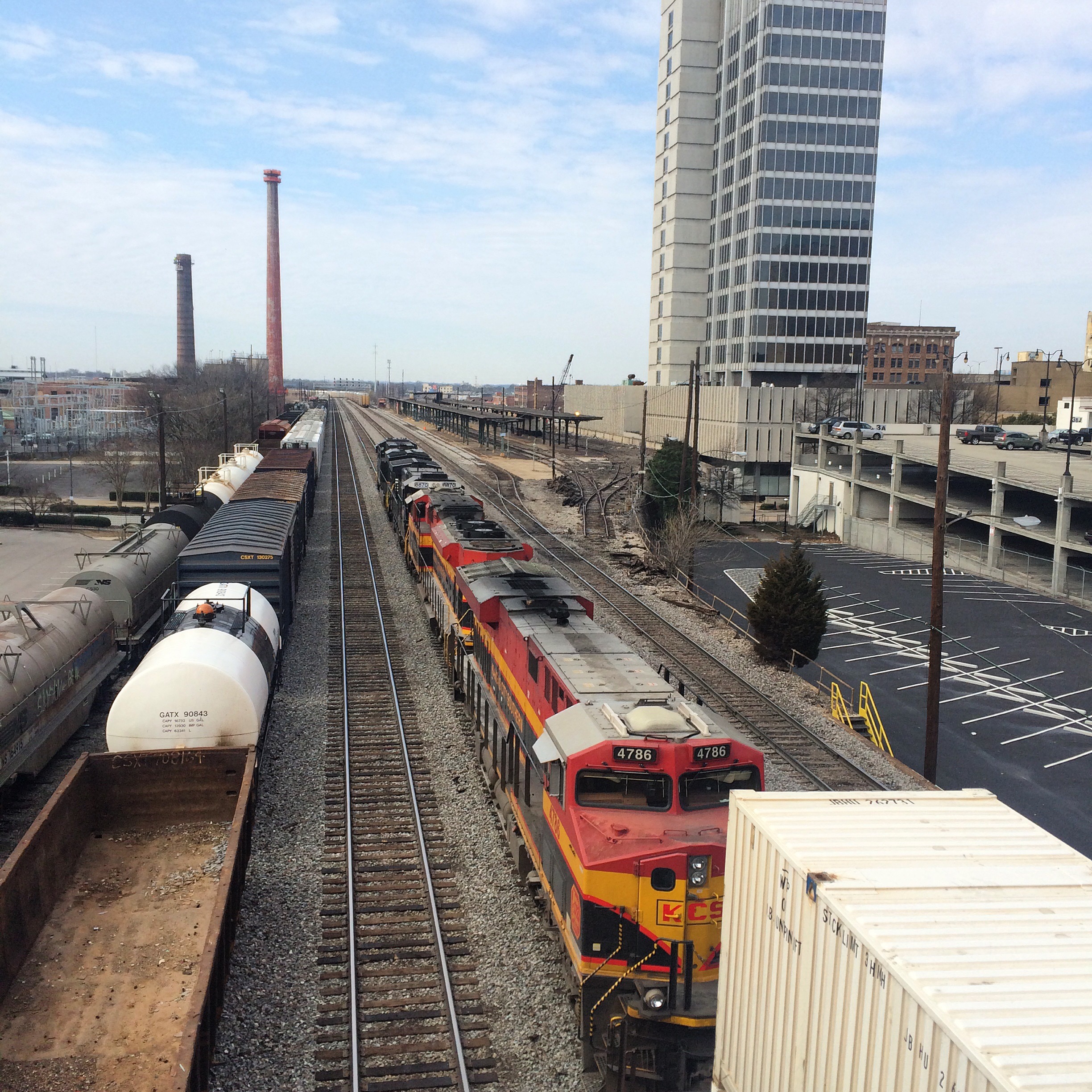
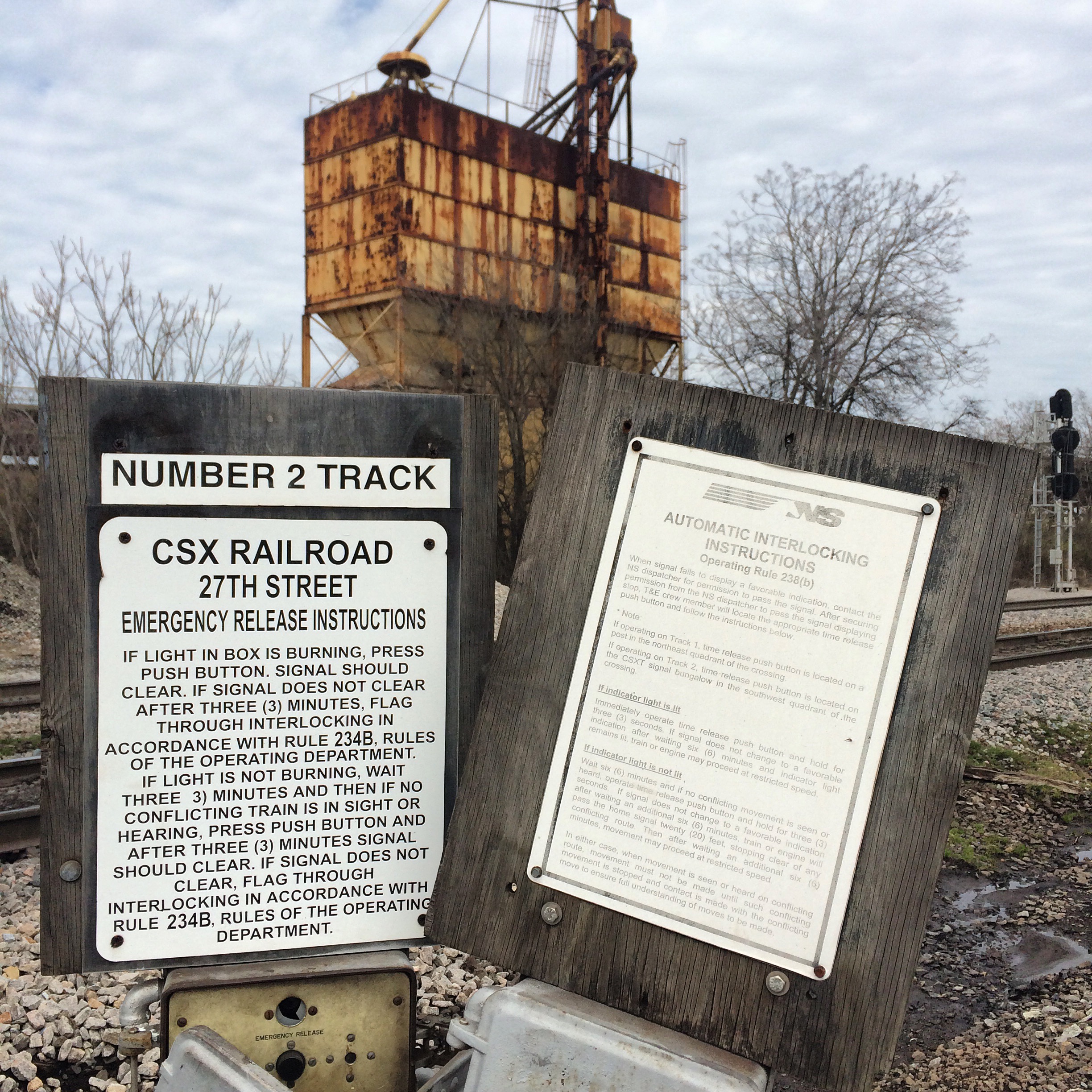
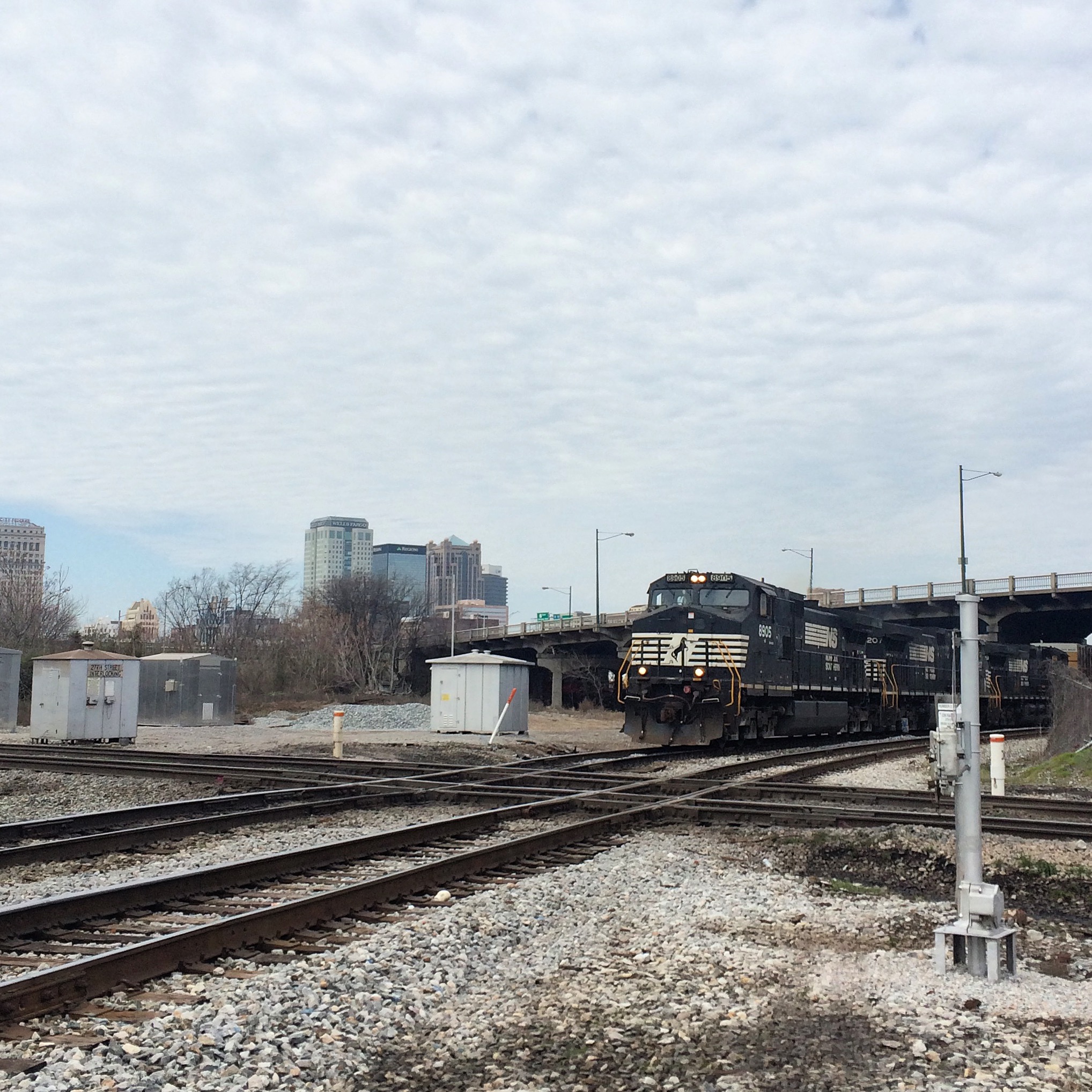
27th Street Interlocking

As shown on the map above, this is a major intersection of NS and CSX lines. In spite of its name, it not directly viewable from 27th Street. I got a good view of it from the extreme western end of the Sloss property.

The shortline Alabama and Tennessee River also comes into play here, but I saw no sign of their trains.

“Emergency release instructions” for both roads :

IMG_5169

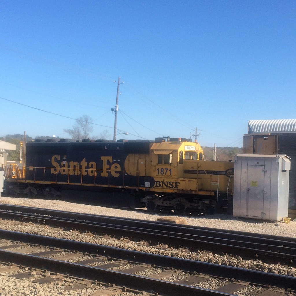
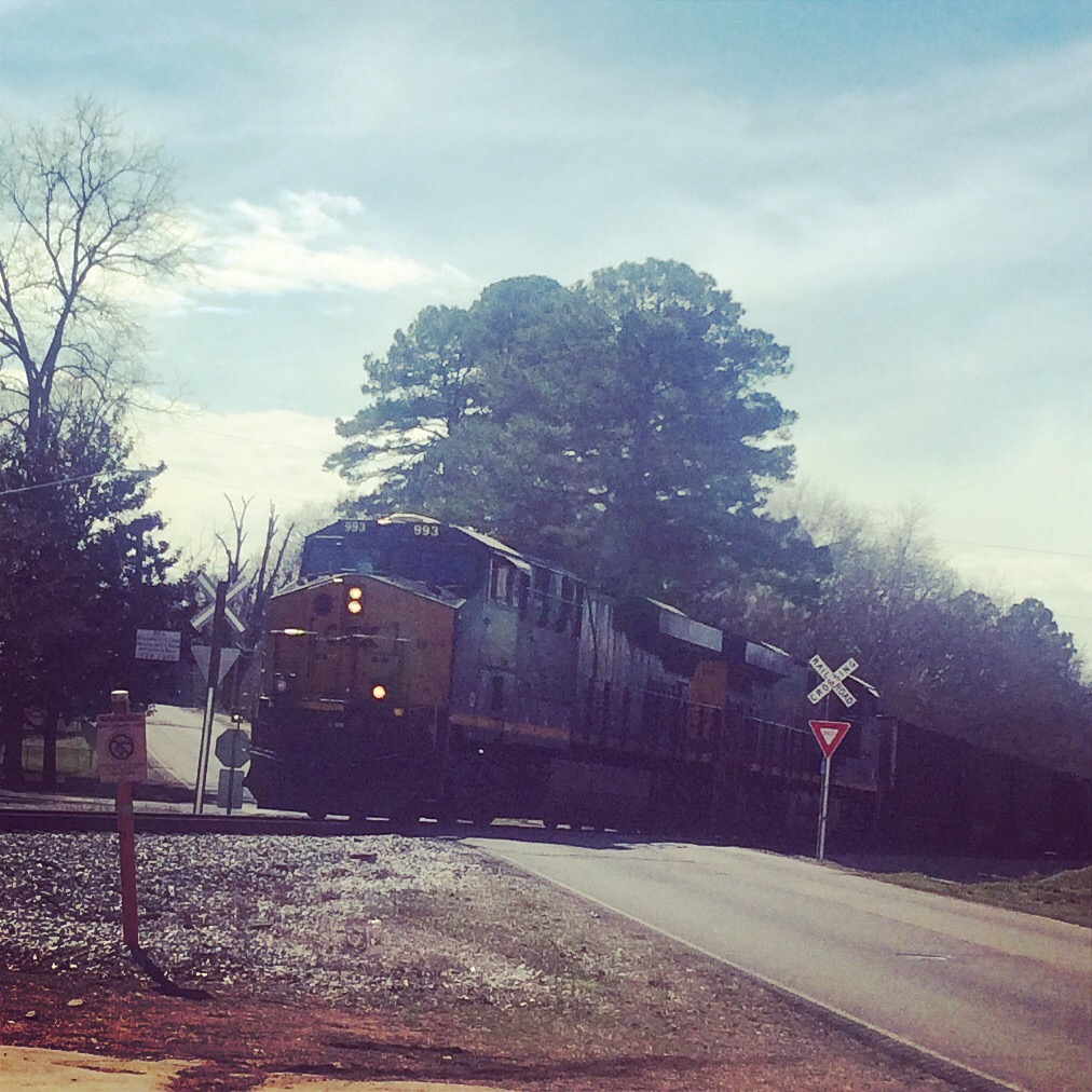
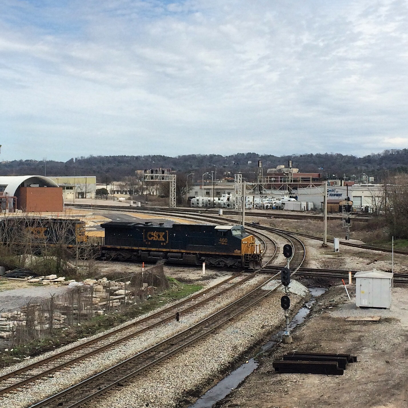
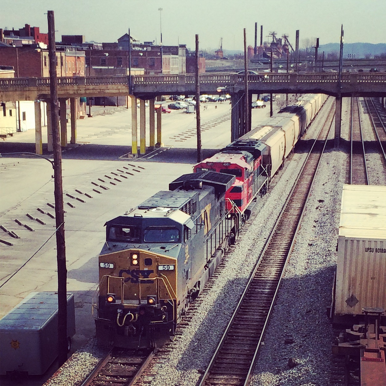
An NS train is about to cross the double CSX tracks, with the downtown skyline in the background.

IMG_5119

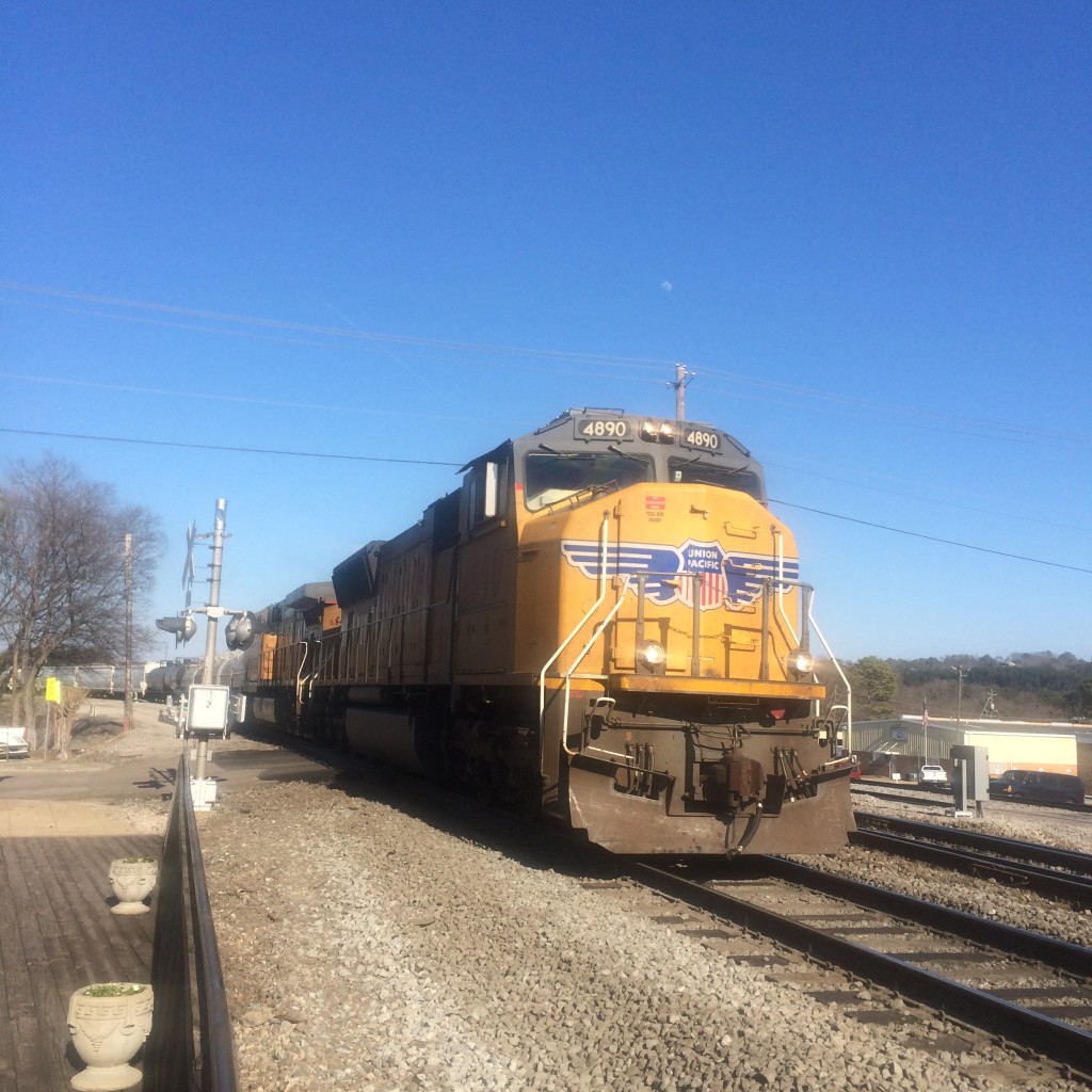
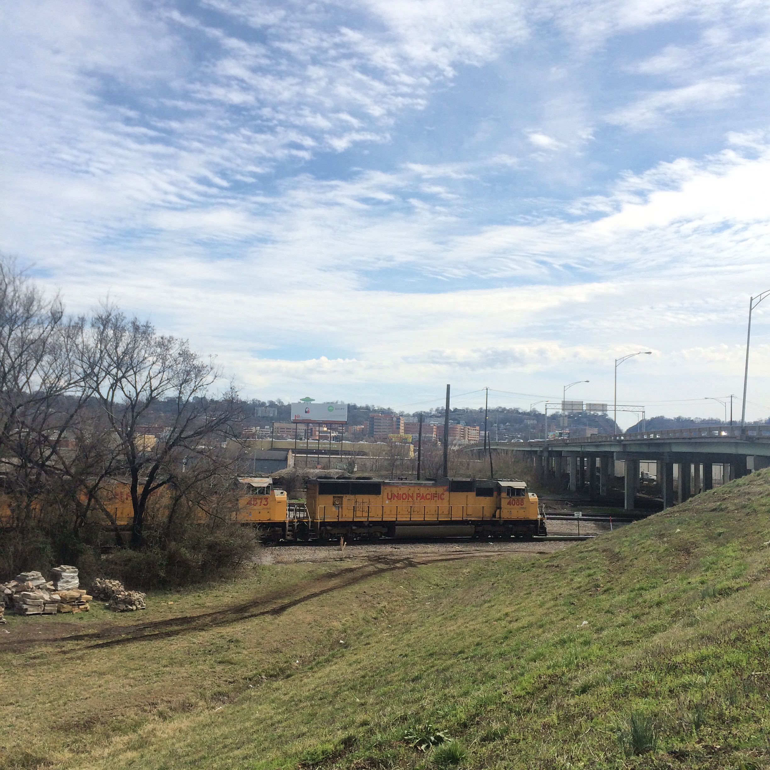
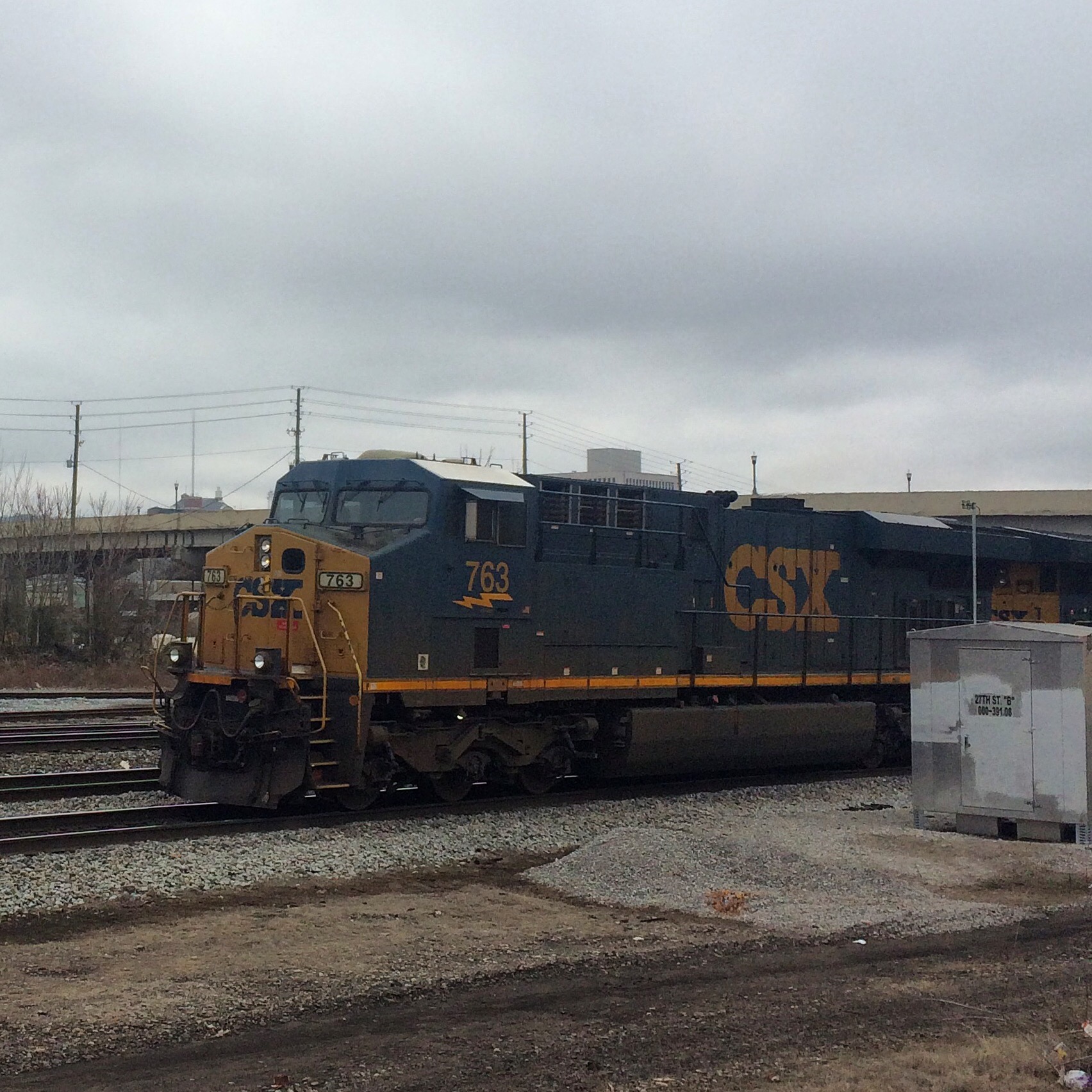
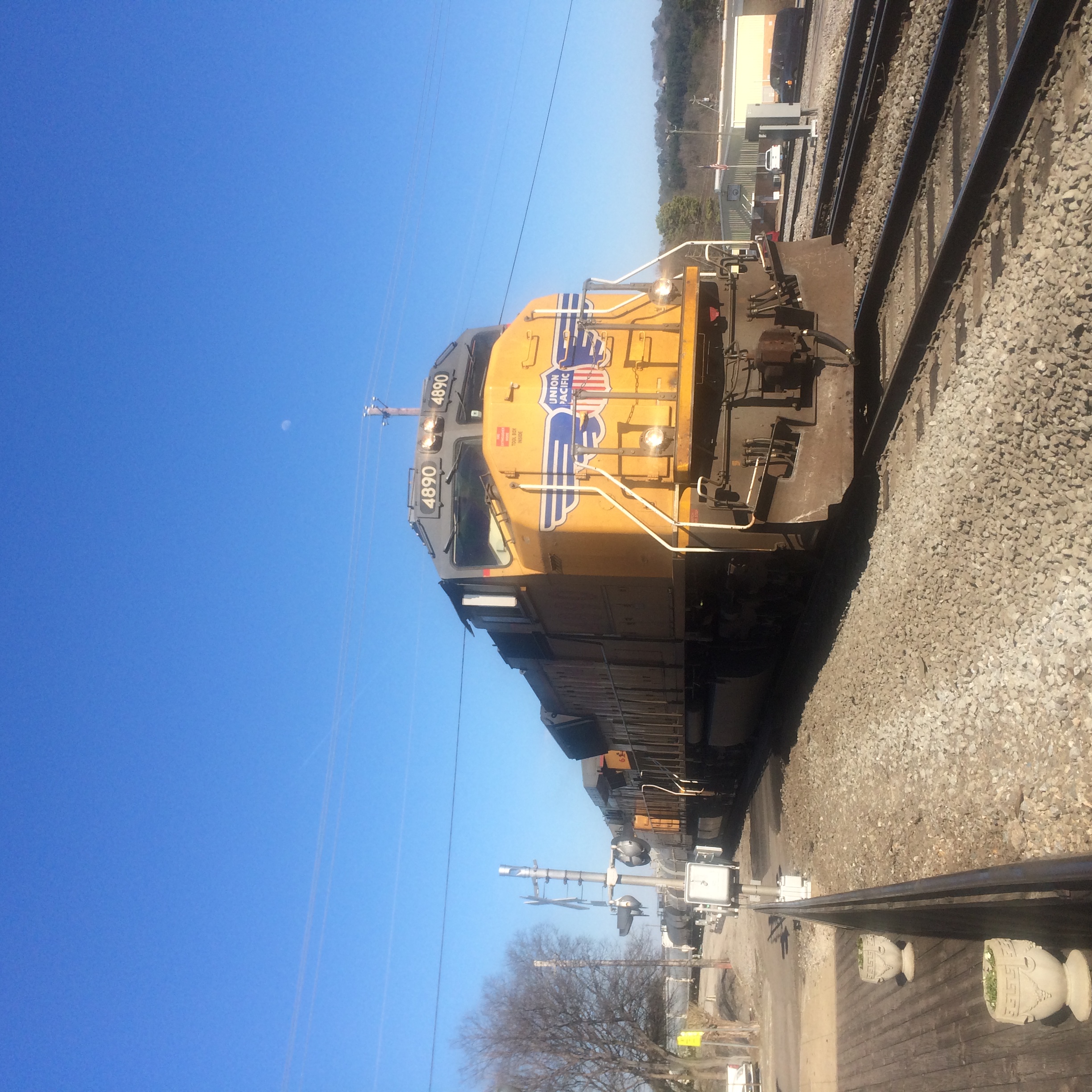
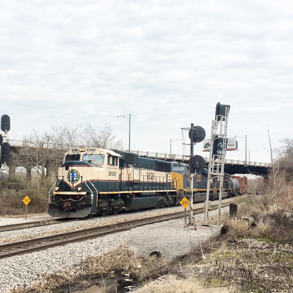
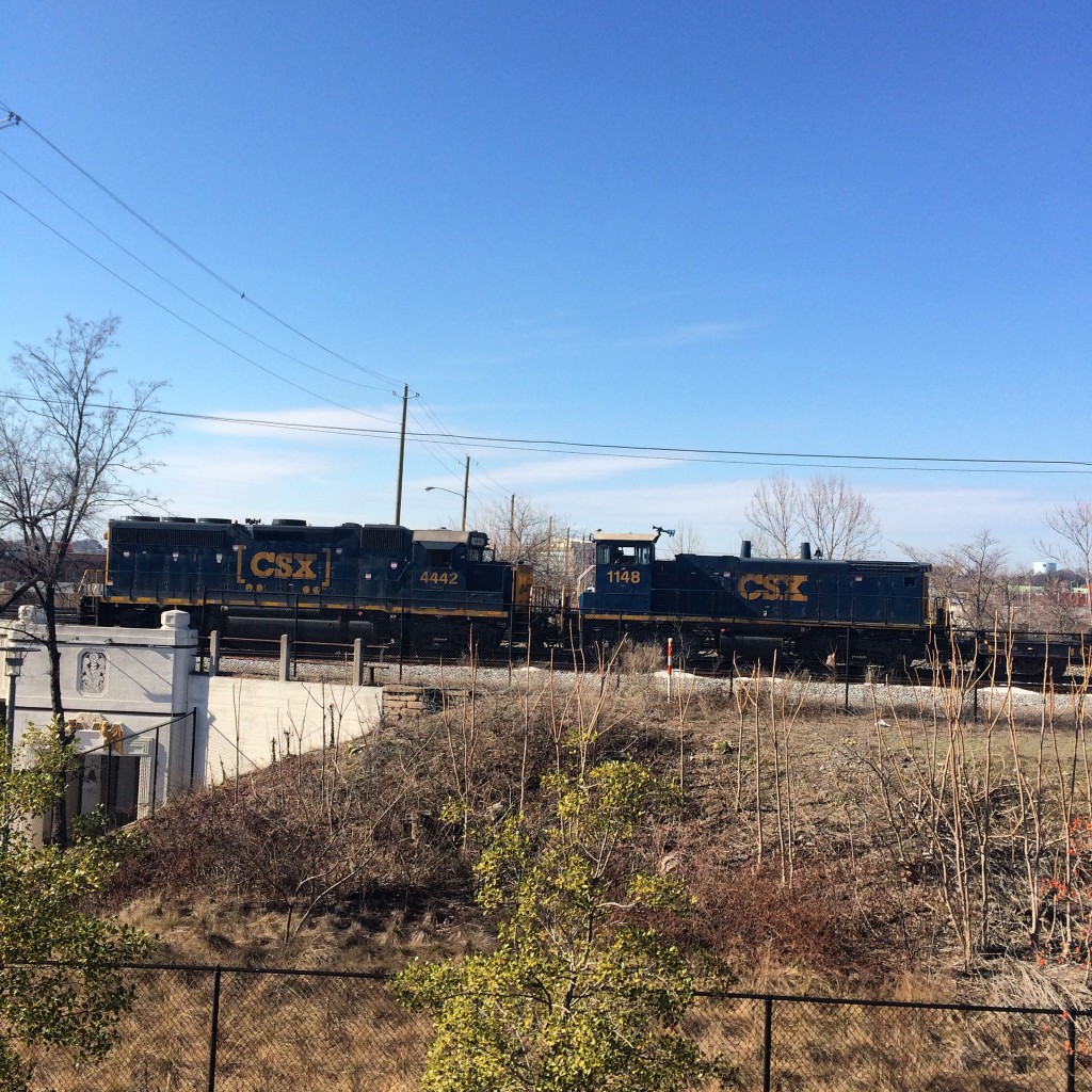
A train approaches on the CSX with a BNSF unit in the lead:

IMG_5141

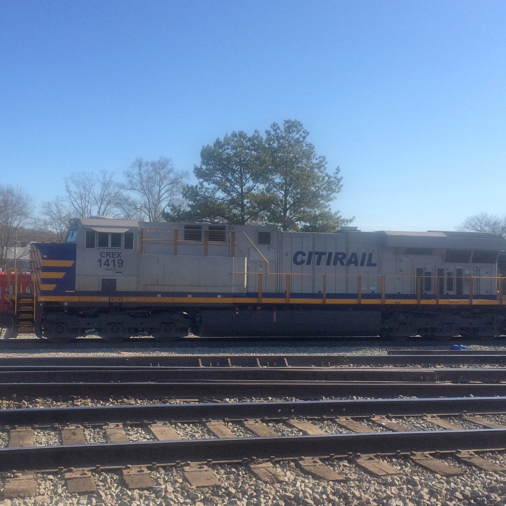
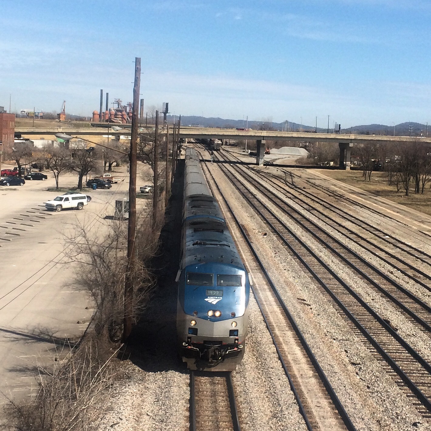
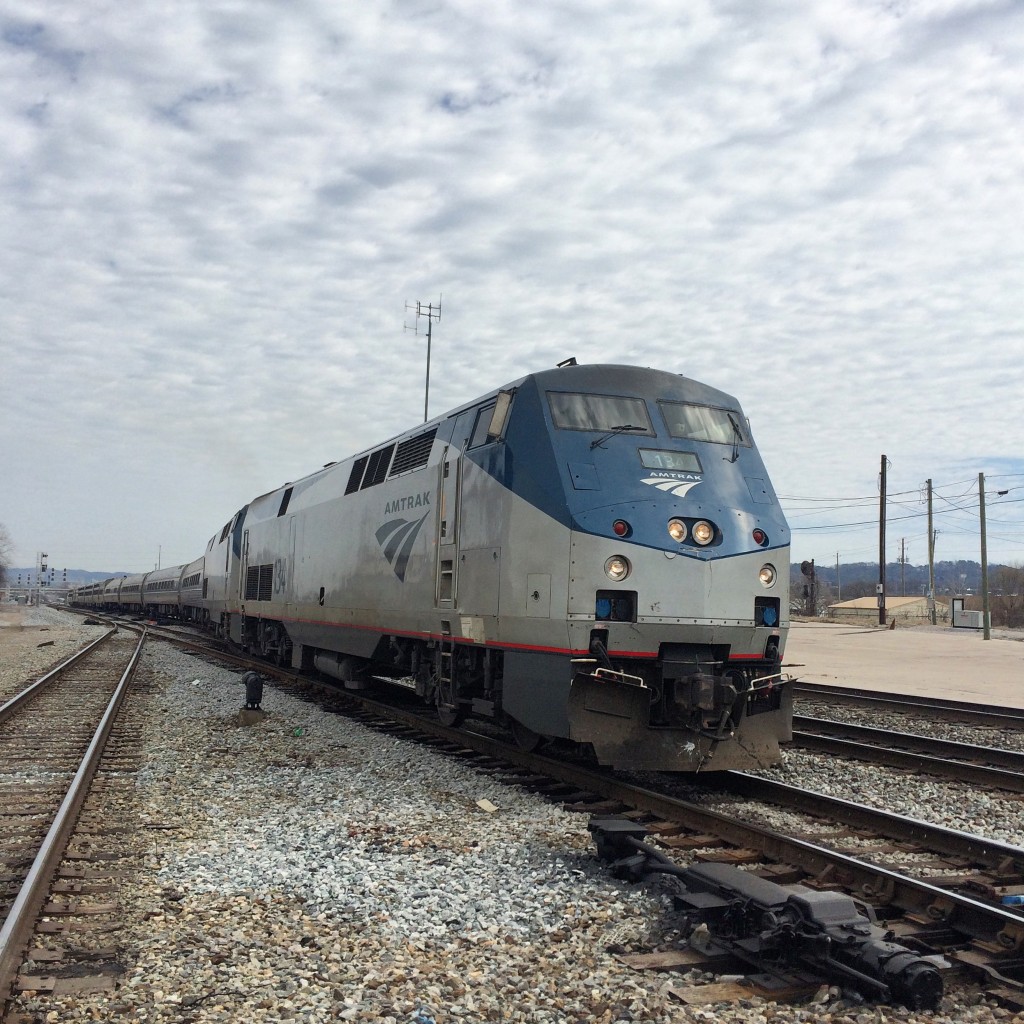
The Crescent train 19:

IMG_5166

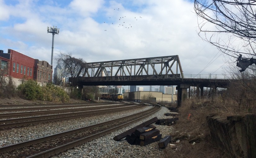
Anoether NS train waits under the 1st Avenue North viaduct before proceeding. The viaduct itself might have provided a good overhead view of all this stuff, had I managed to find a place to park near its approach.
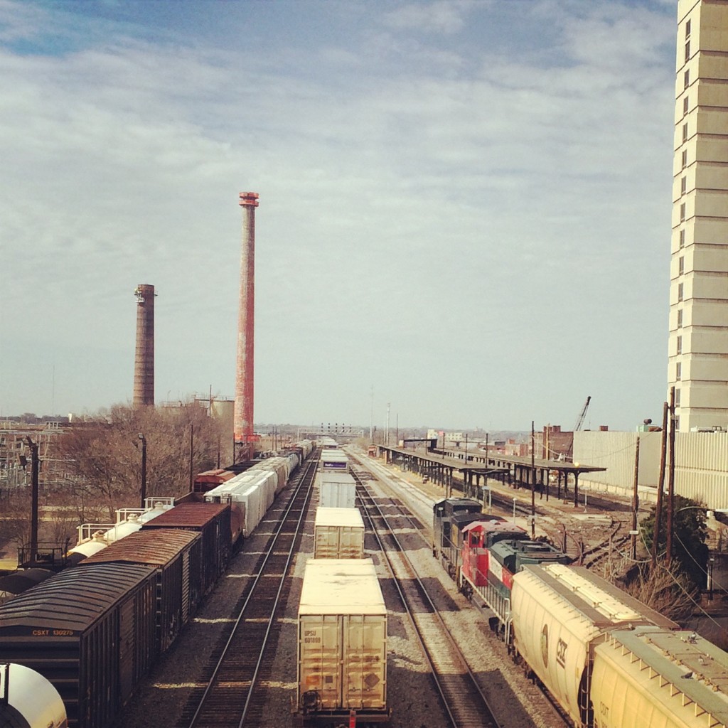
IMG_5168

Railroad Park

At the other end (southwest) of the downtown corridor shared by NS and CSX, lies Railroad Park. It is a nice park, but I think if you are really out just to see trains rather, then you will get a better view from the viaducts.

IMG_5181

IMG_5182

 Easy Livin’ in Irondale

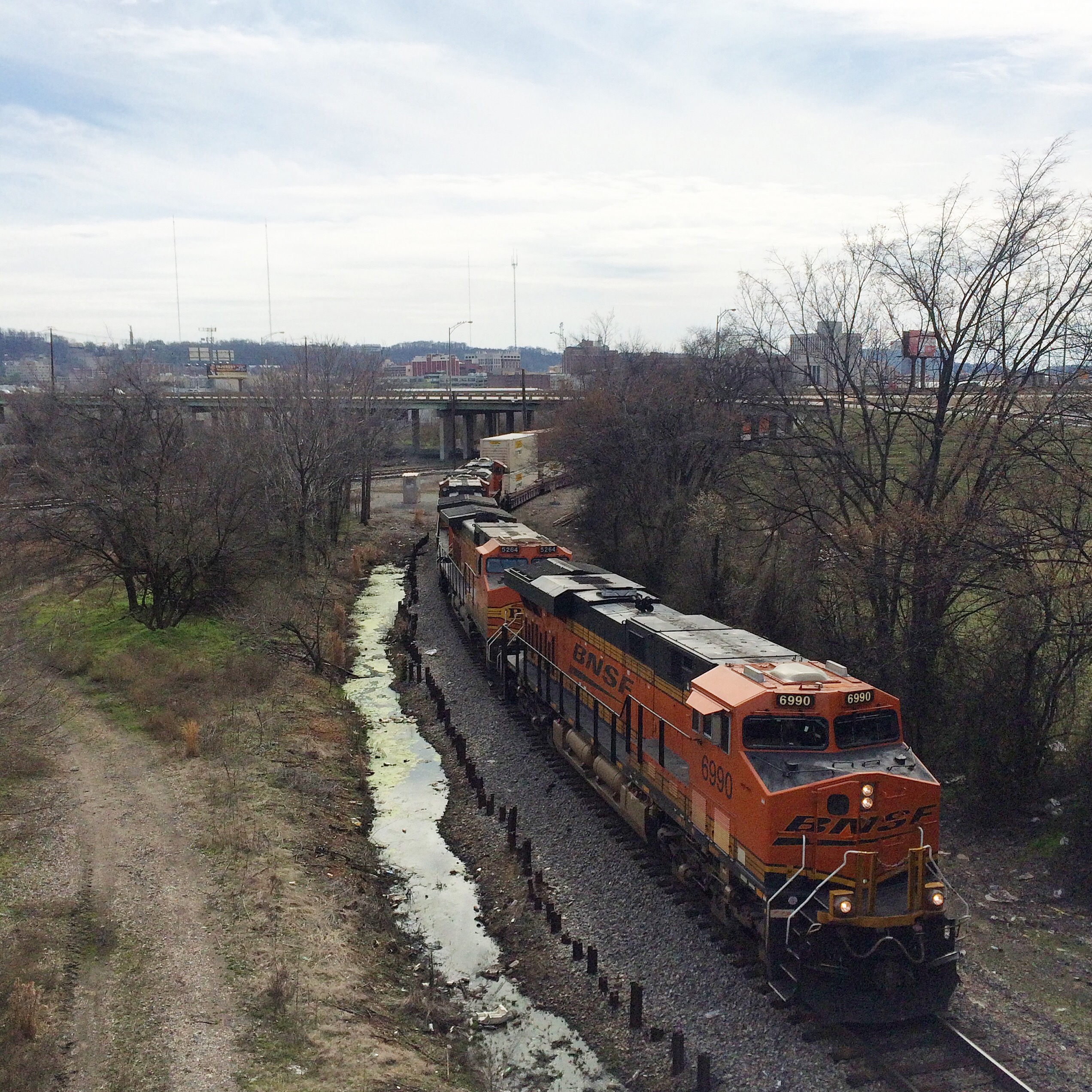
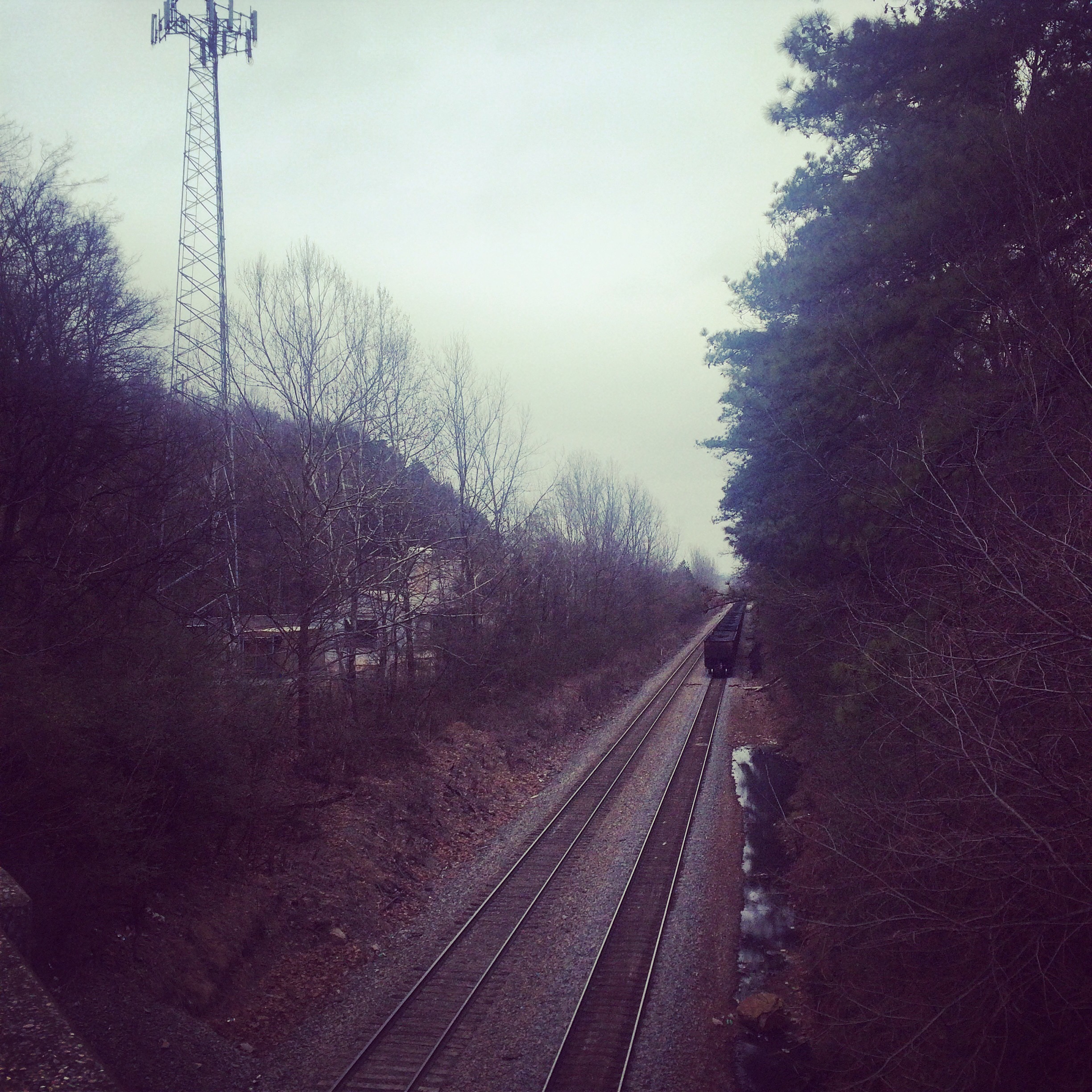
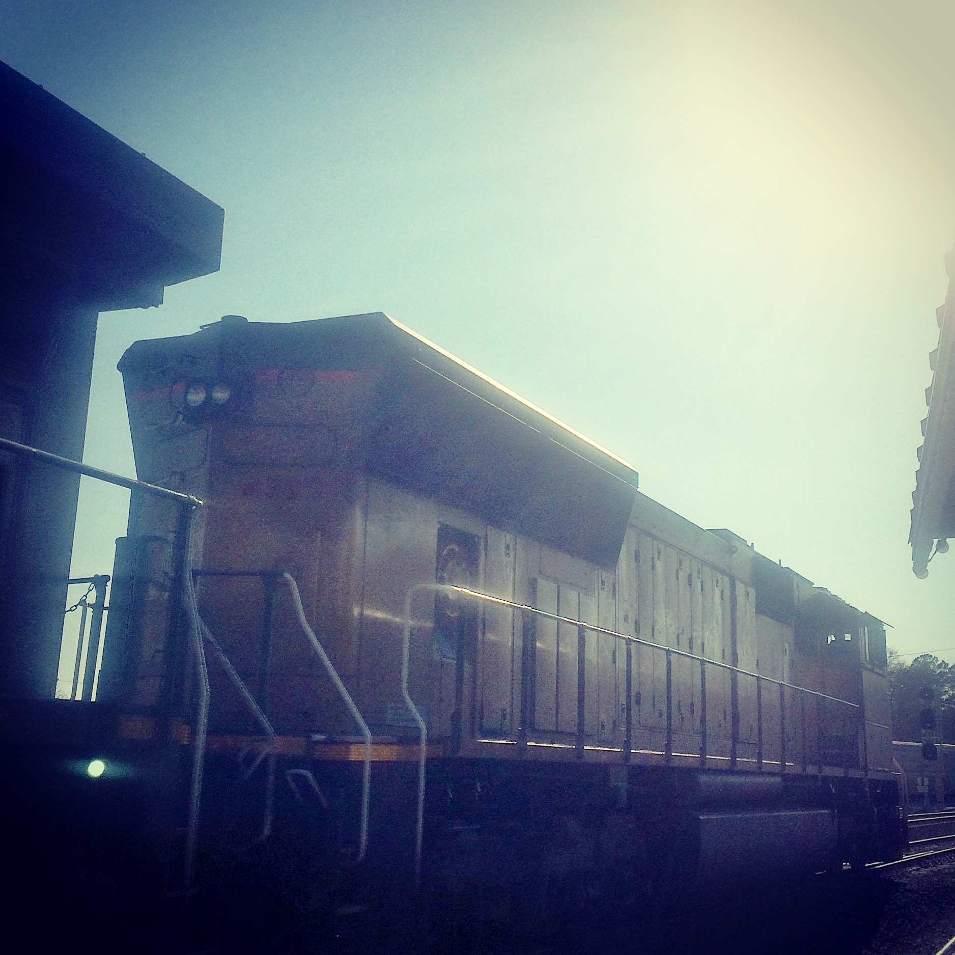
These last were not taken in downtown Birmingham at all, but out in the suburb of Irondale where the NS tracks enter Norris Yard. Here these is a covered wooden platform beside the tracks with benches and picnic tables, so you can just sit in the shade and relax as the trains roll by.

I did drive around Norris as much as possible without entering obvious NS property, but I didn’t really feel like stopping anywhere to take pictures, so these are all taken from the platform. The sun was pretty low by this point, as can be seen in these pictures.

IMG_5200 IMG_5204  IMG_5209 IMG_5210


The free railroad map website you probably don’t know about

Courtesy of the Federal Railroad Administration:

http://fragis.frasafety.net/GISFRASafety/

Found by David Kudrav.

You can zoom and search and do all the stuff you are used to being able to do with an online map. You can see main lines (color coded by railroad), mileposts, station names, Amtrak, and even individual markers for each railroad crossing.

It mostly doesn’t bother to show sidings, branch lines, etc.

The station names are a bit.. off. Just in my area, almost all of them are  at slightly different mileposts than the railroads’ timetables have, and some of the ones on the map appear to have been derived from a source other than the current timetable. I’m guessing the database they are pulling these from is not particularly up to date, and the railroads have moved them around and renamed them? Either that or they’ve just got bad data.We have found both situations where a line is shown without its mileposts, and also situations where the mileposts appear without the actual line they are on. (Mobile, AL has a notable case of the latter)But still, it’s the only free online thing I’ve seen that shows railroad mileposts on a reasonably accurate map.