From this history of the Georgia, Carolina & Northern Railway:
Organized in December, 1886 to build a rail line from Monroe, N.C., near Charlotte, to Atlanta, the GC&N began construction in North Carolina in 1887. The line was completed to a connection with the Georgia Railroad at Inman Park on the east side of Atlanta in 1892.
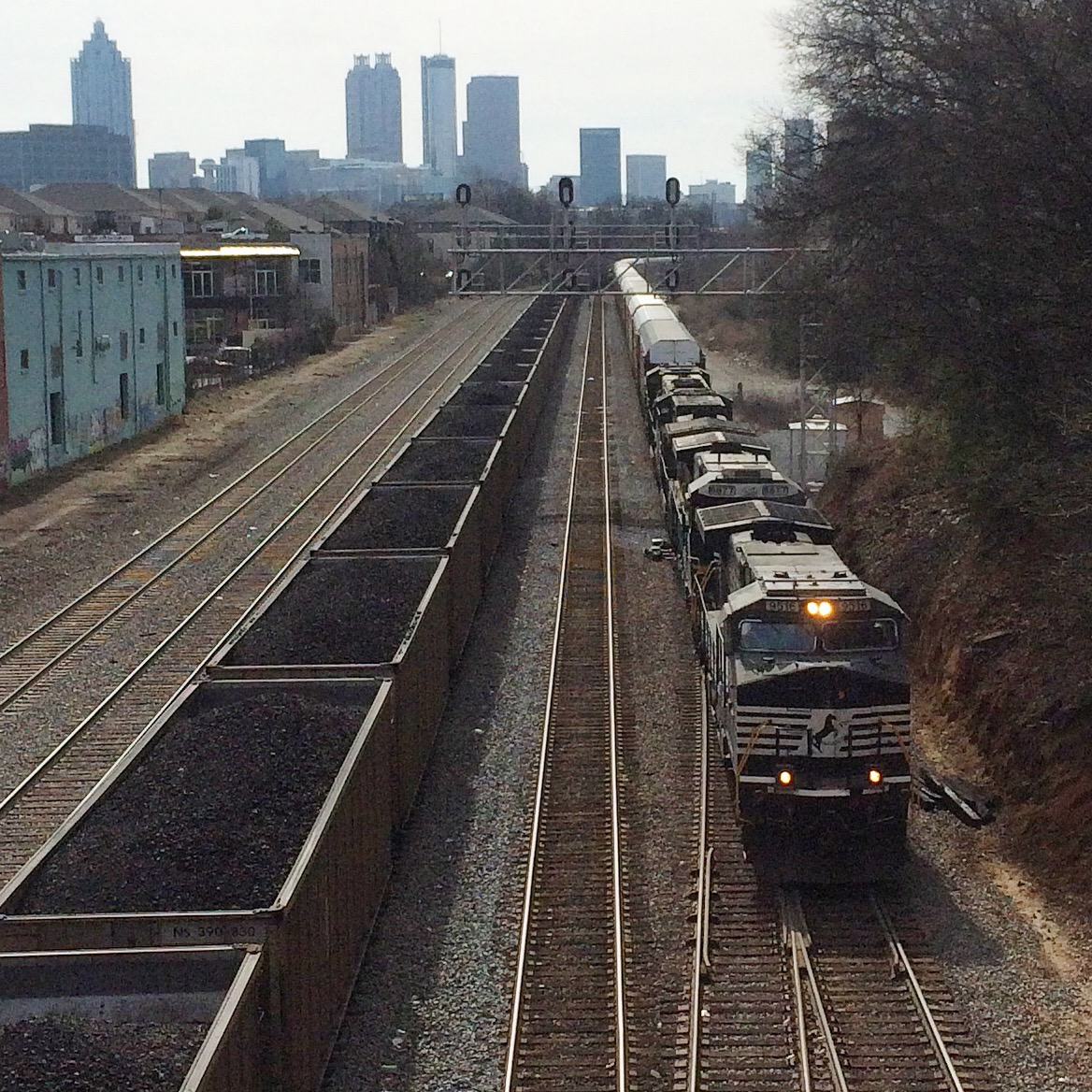
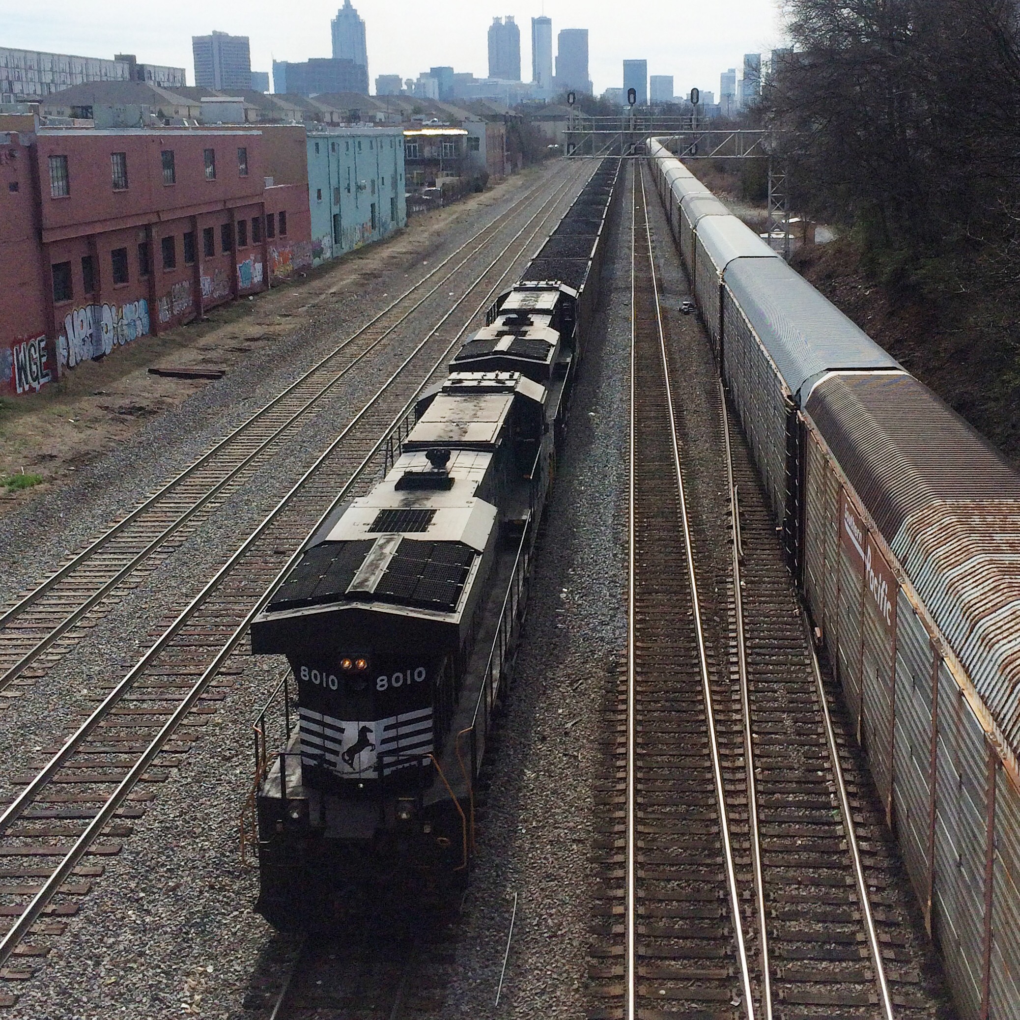
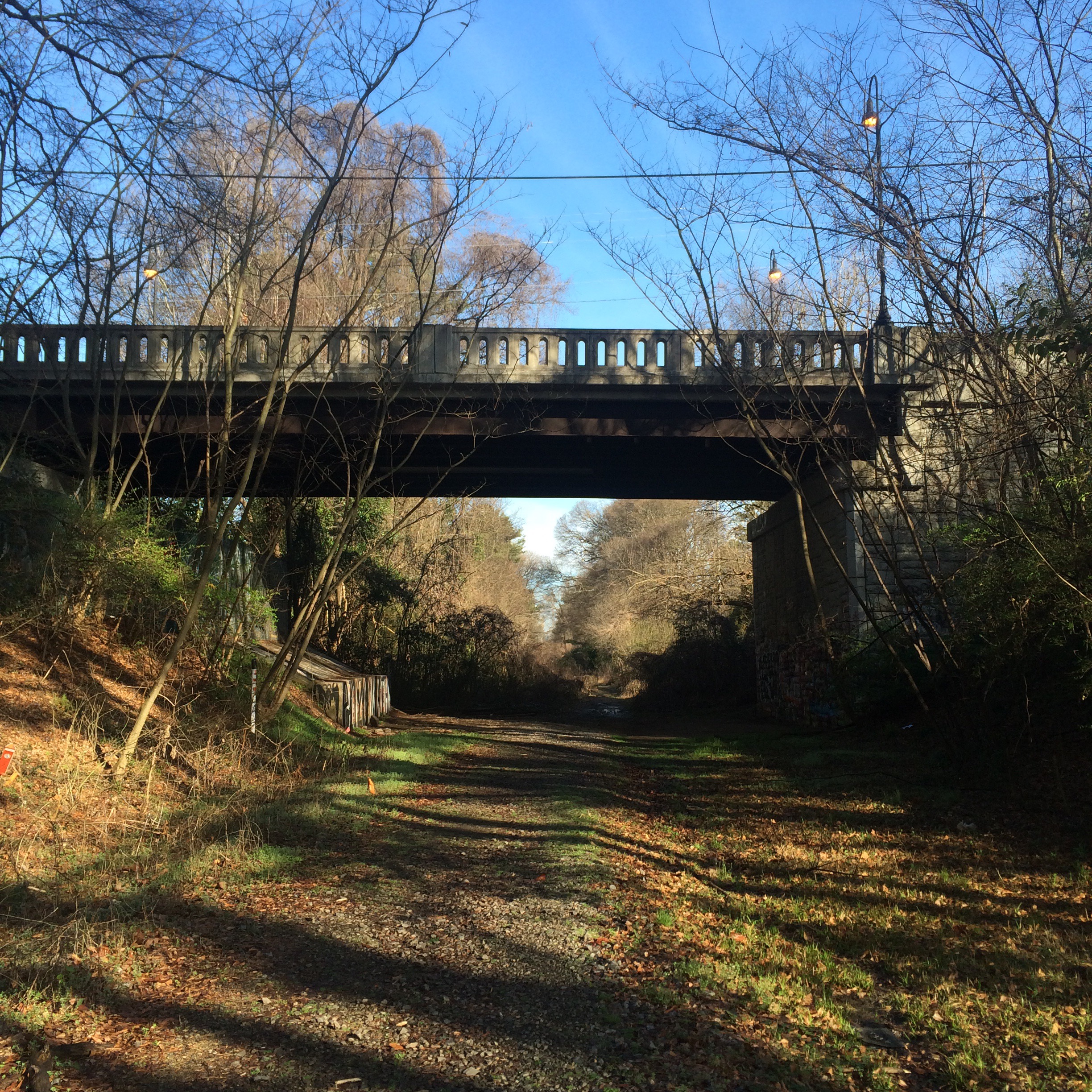
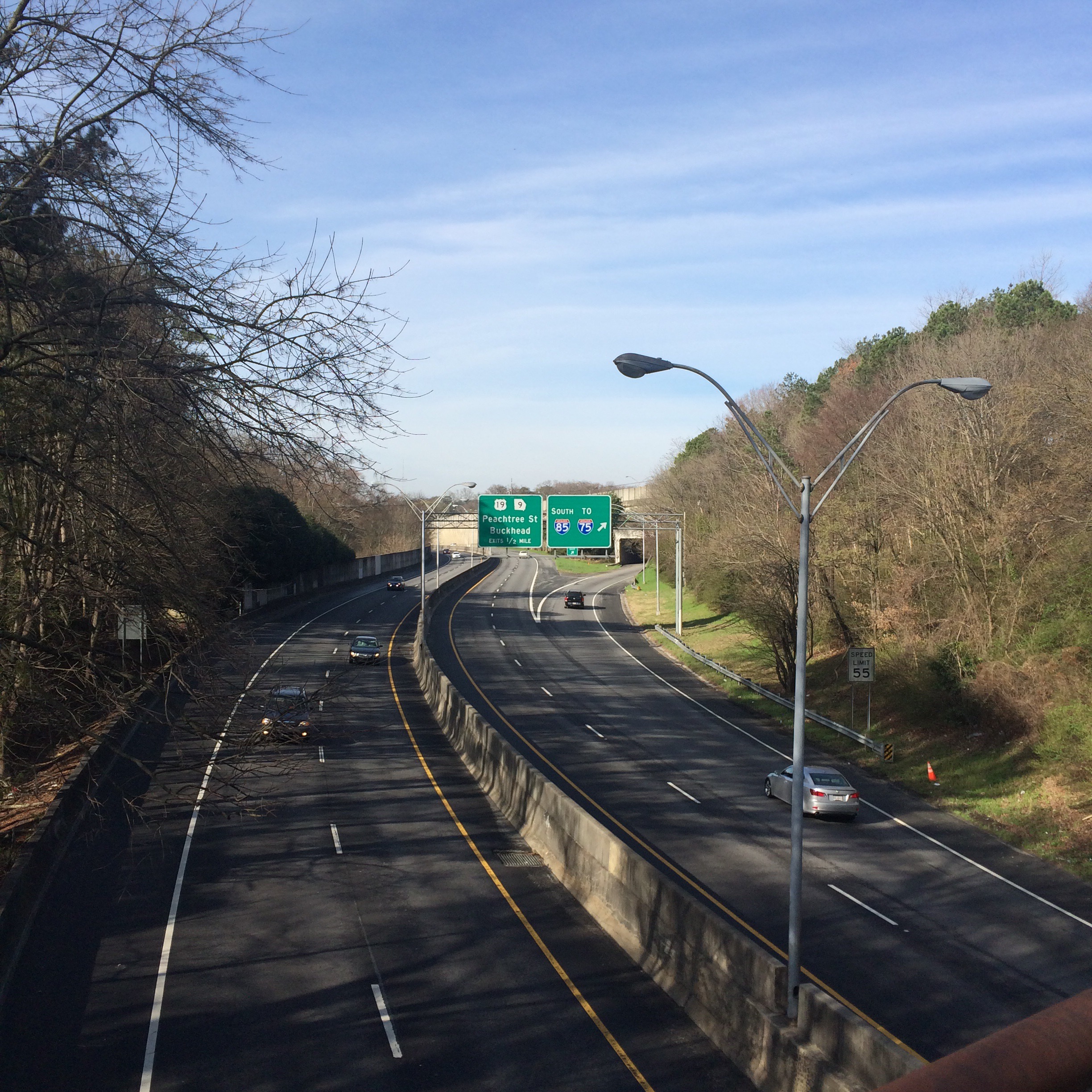
Ok so it sounds like the original route of what eventually became the CSX Abbeville subdivision was the line that is now considered the “Inman Park belt”, rather than the current main line that runs from Emory to Howells yard. Hmm. That’s actually a shorter route. Why did they change it?
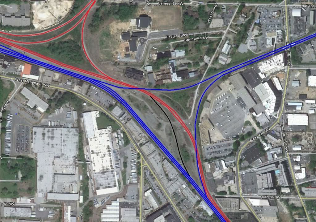
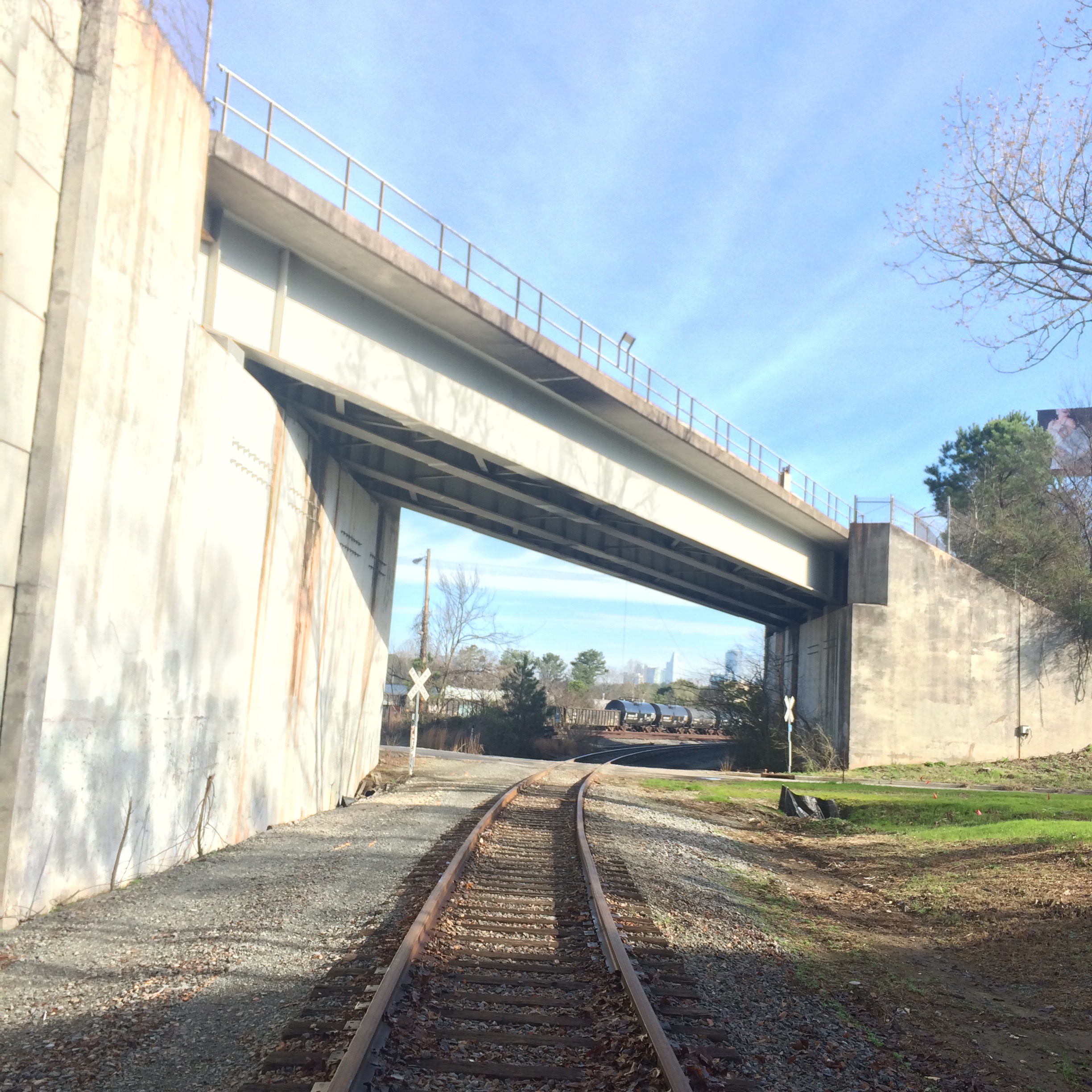
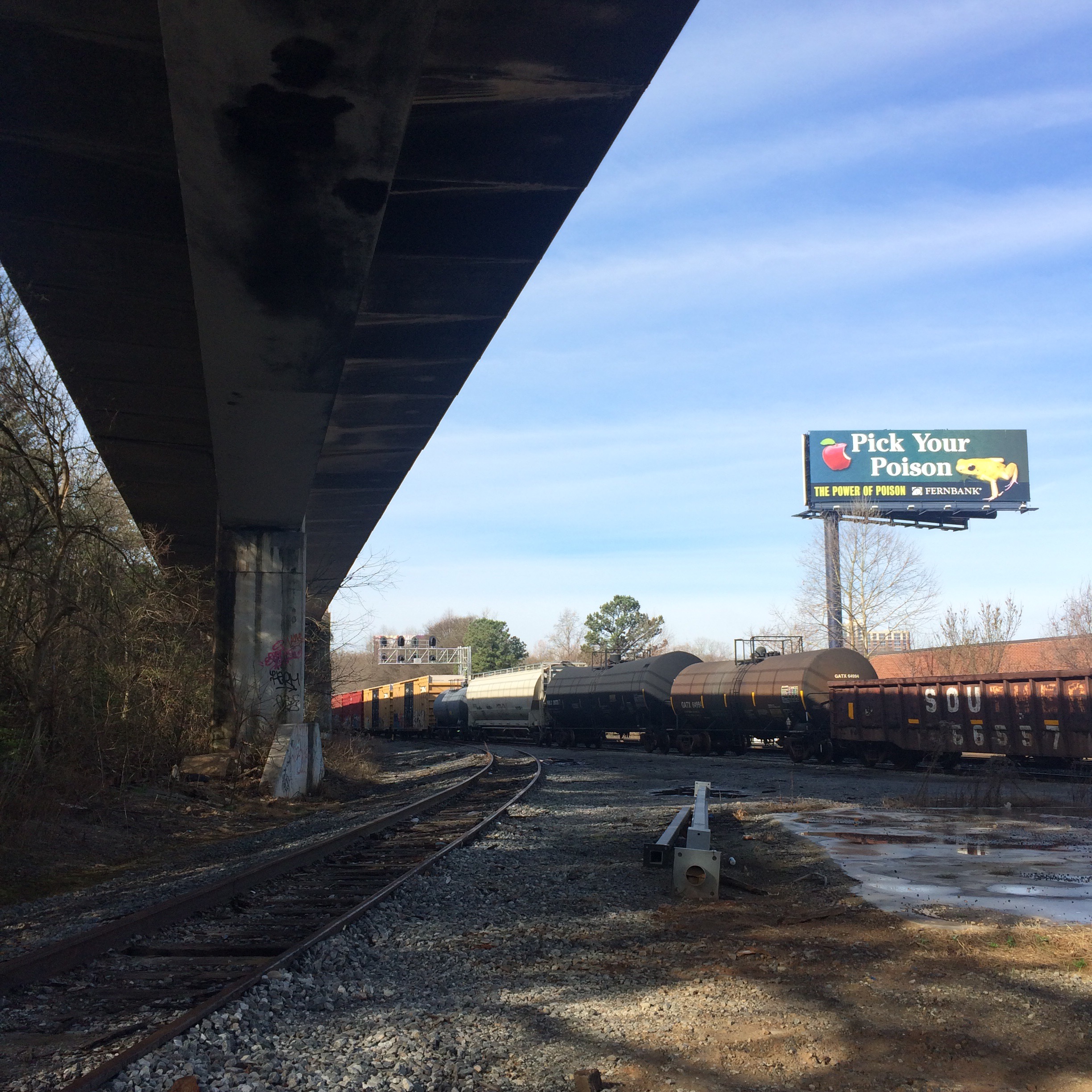
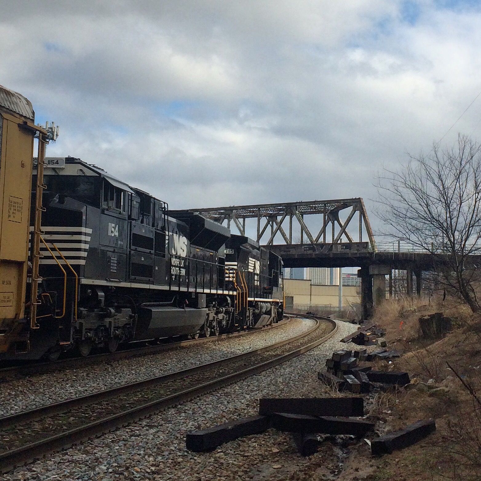
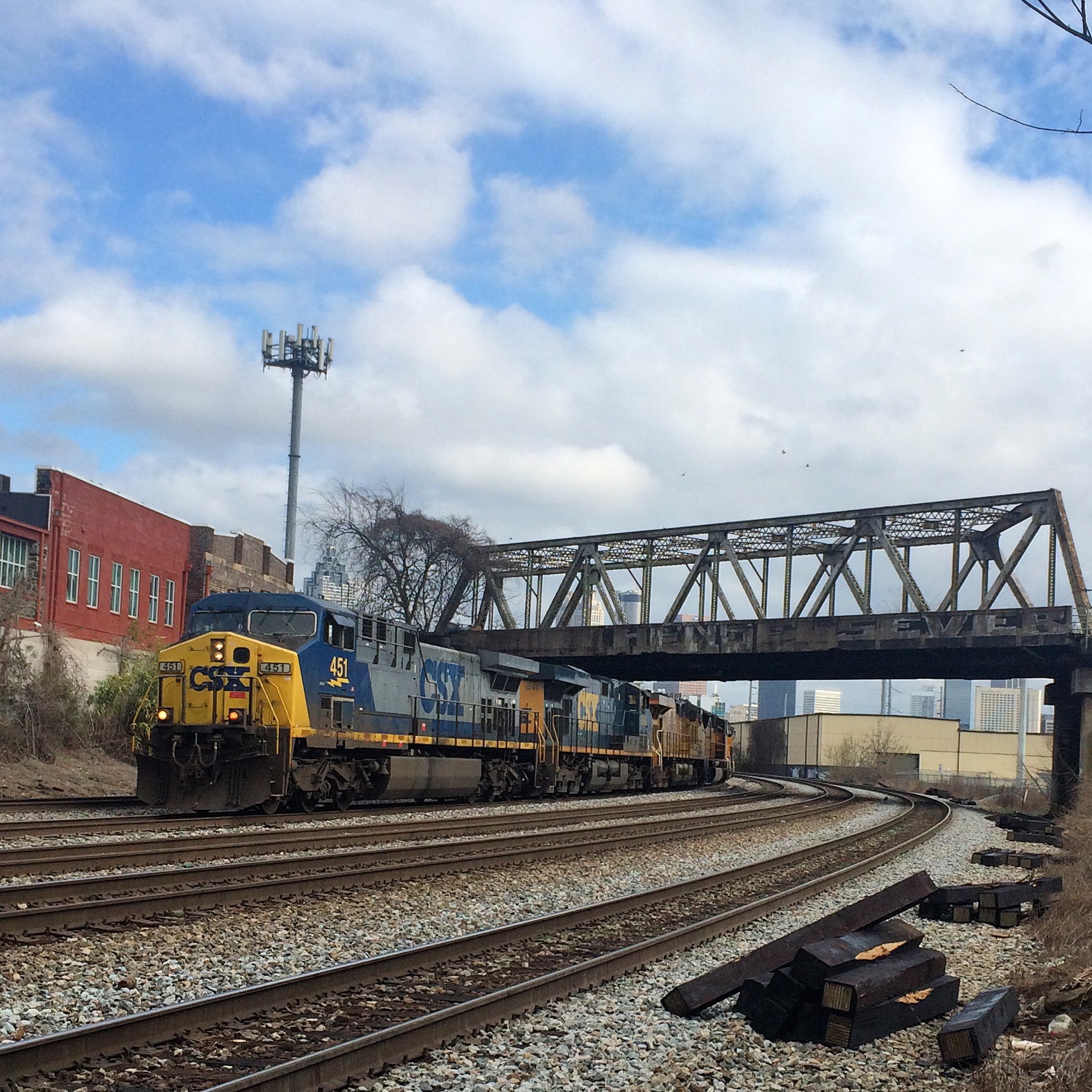
Because an injunction stopped the new line from entering the city of Atlanta from the east, the GC&N was forced to construct the Seaboard Air Line Belt Railroad in 1892. This eight-mile line branched off the GC&N at Belt Jct. (near Emory University) and ran west to a connection with the Nashville, Chattanooga & St. Louis Railway at Howells. By use of trackage rights over the NC&StL, GC&N trains were able to enter Atlanta despite the injunction.
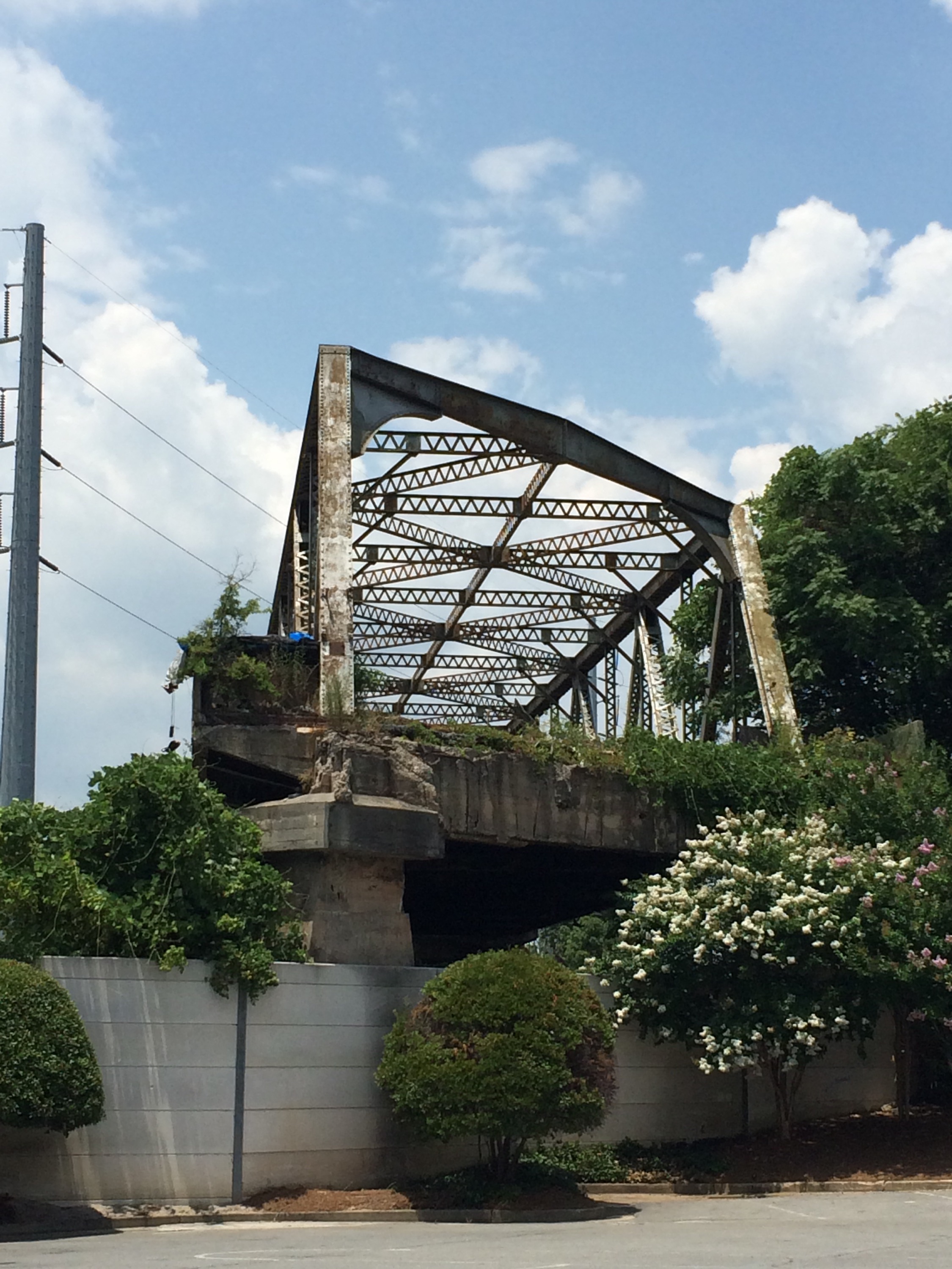
Shenanigans! I don’t know what this “injunction” was, whether it was the work of competitors or of what you’d now call NIMBYs, but it looks like we have legal entanglements to thank for the current layout.
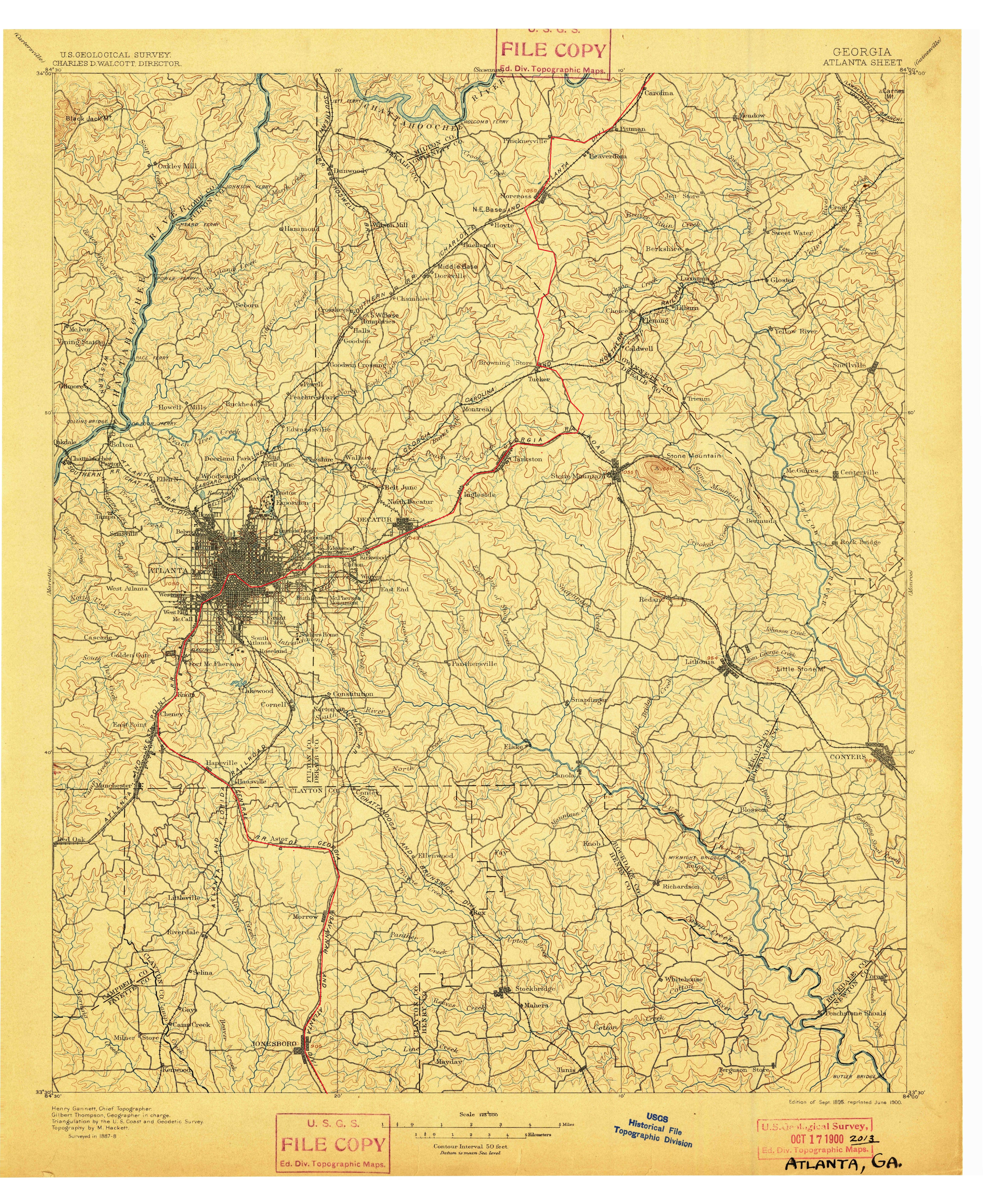
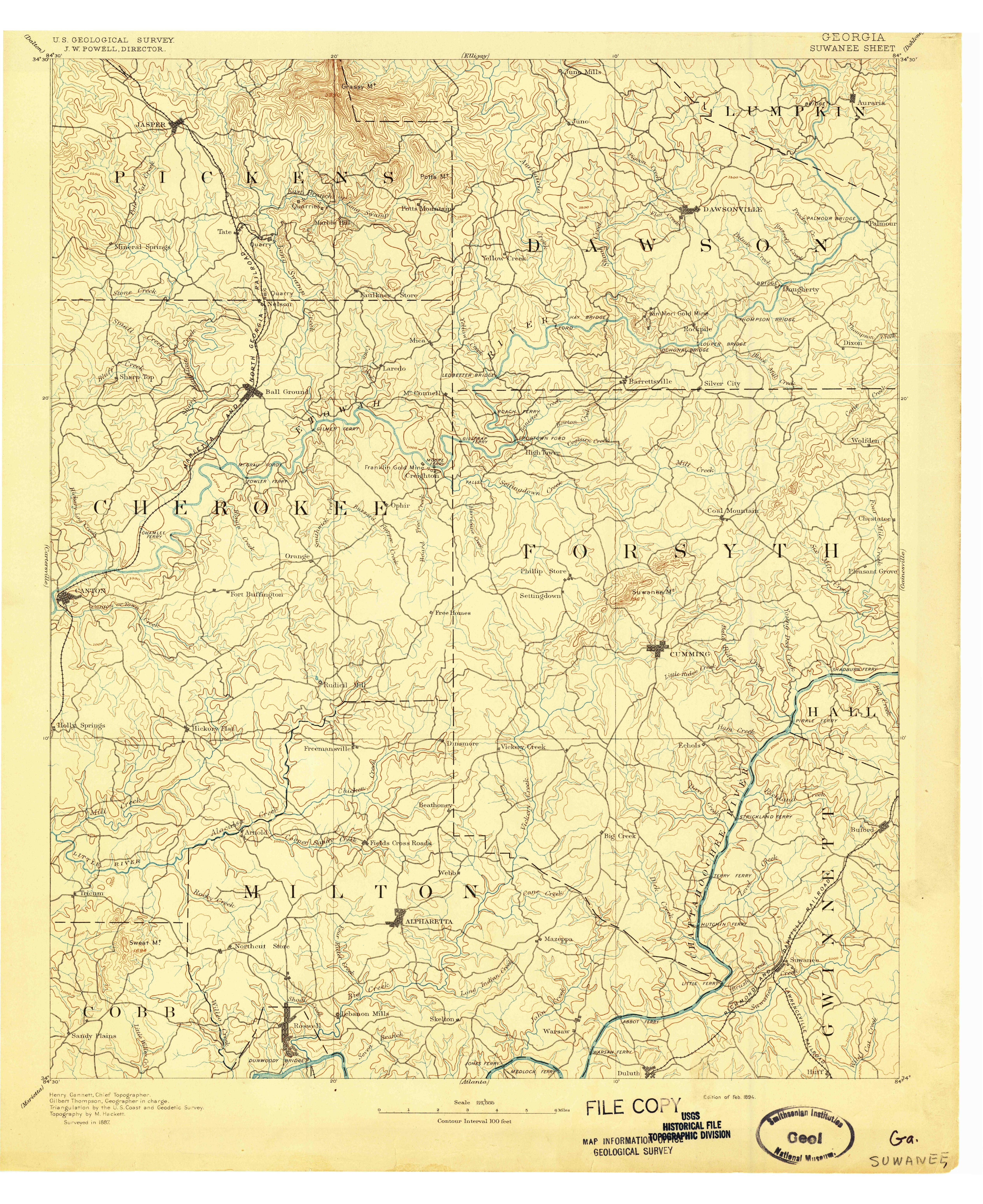
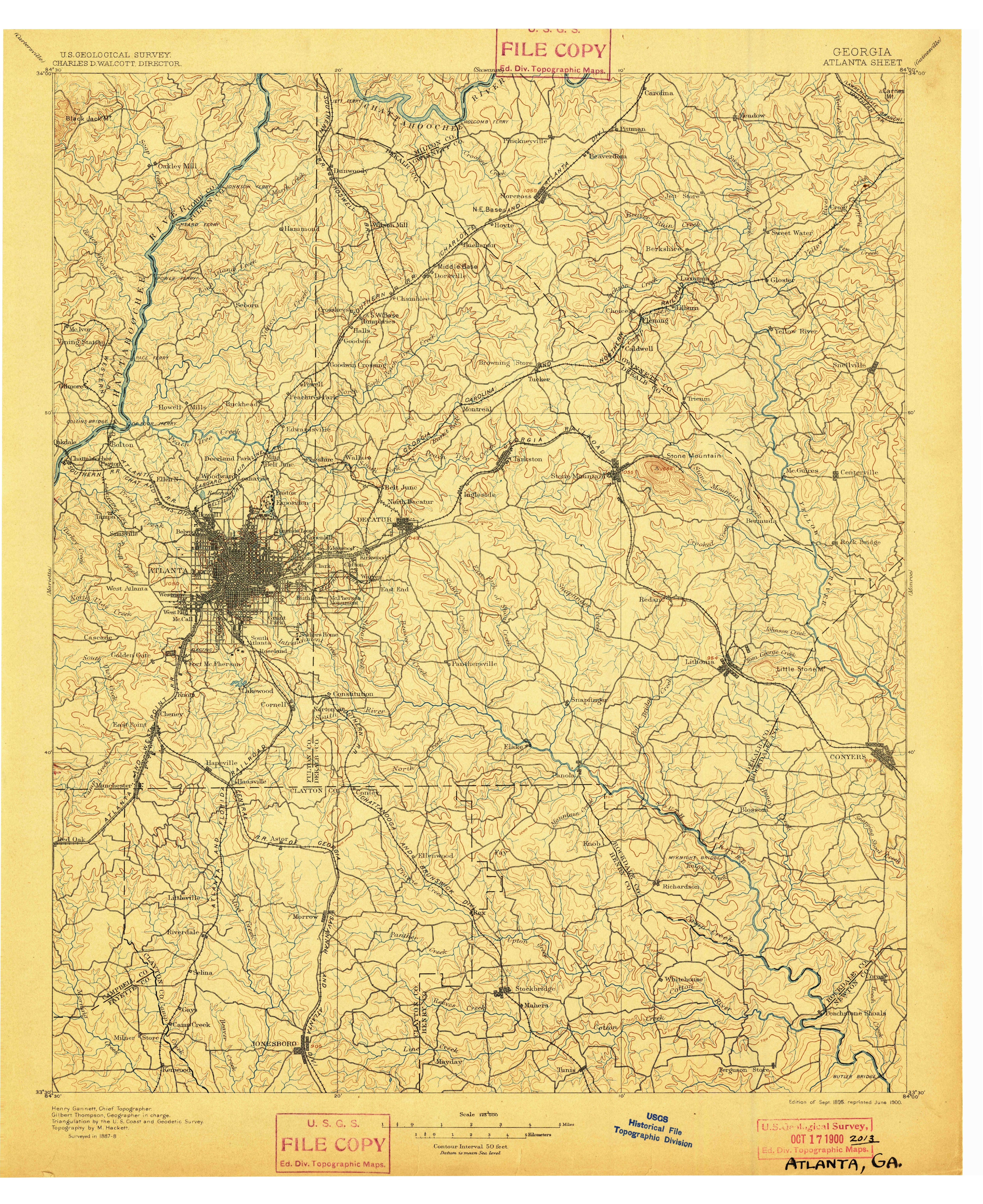
Now it gets even more interesting when considering Norfolk Southern and its predecessors. This 1872 map shows the Atlanta & Richmond Air-Line Railway, the earliest predecessor to NS’s Piedmont division line, connecting to the Georgia as well! That is, the line that is now the Atlanta BeltLine east-side trail was also the main line of its original railroad. The line around the north to connect to Howells seems to have been built later. (It is shown on the 1895 topographic map)
Incidentally, I don’t know that the “Atlanta and Richmond Air-Line” or its reorganized form “Atlanta and Charlotte Air-Line” ever had any association with the better known Seaboard Air-Line. I doubt it, but it seems to have been using the “air-line” name before the more famous road.